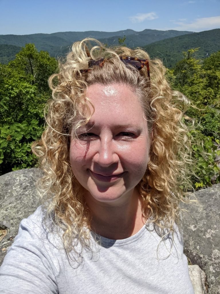
After staying in Asheville, NC for a housesit (affiliate link, btw), I had a few days to spare so I decided to drive the length of the Blue Ridge Parkway. I hardly did any planning, so let’s see how it went!
In the end, it took me almost four days to drive the entire length and stop as much as I wanted to. I took a few short hikes each day, but nothing that lasted over an hour. Some of my meal and hotel stops took me off the parkway more than I wanted to. What looks close on a map can still take 30 minutes of mountain-road driving! If I had to do it again, I’d pack stuff for lunch so I wouldn’t have to leave the parkway as much.
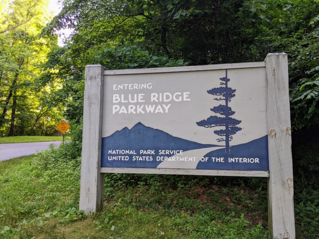
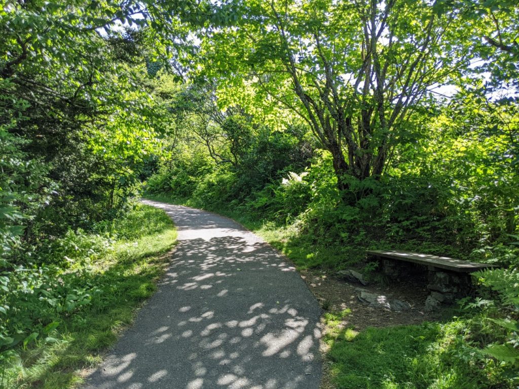
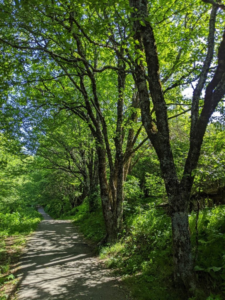
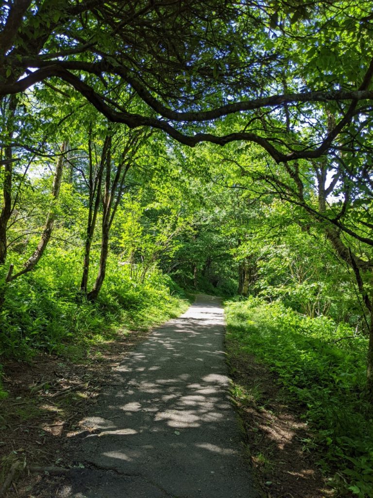
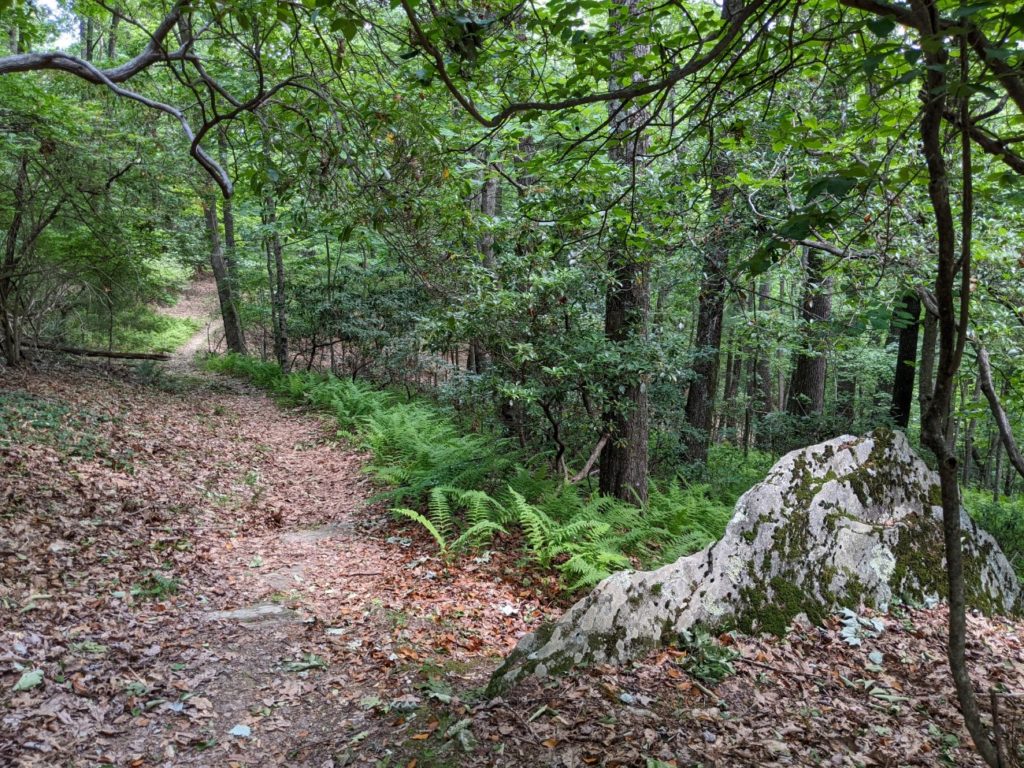
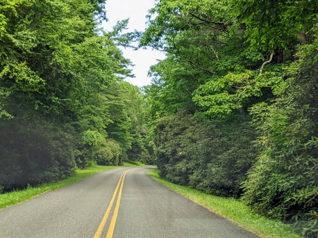
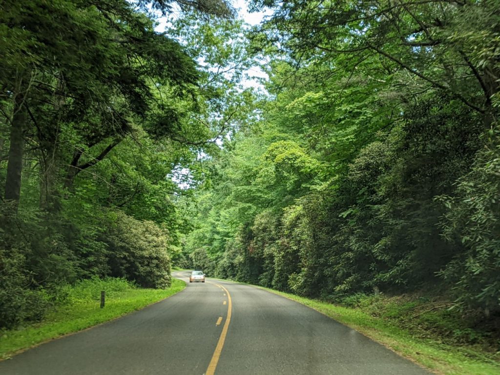
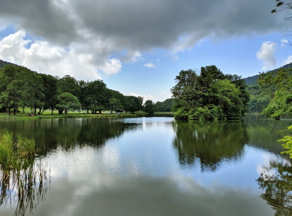
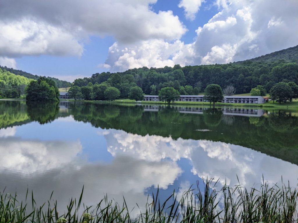
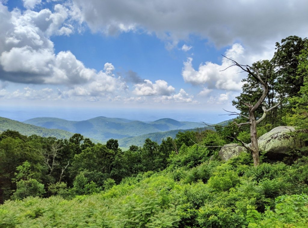
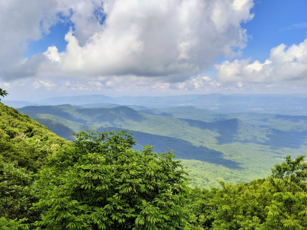
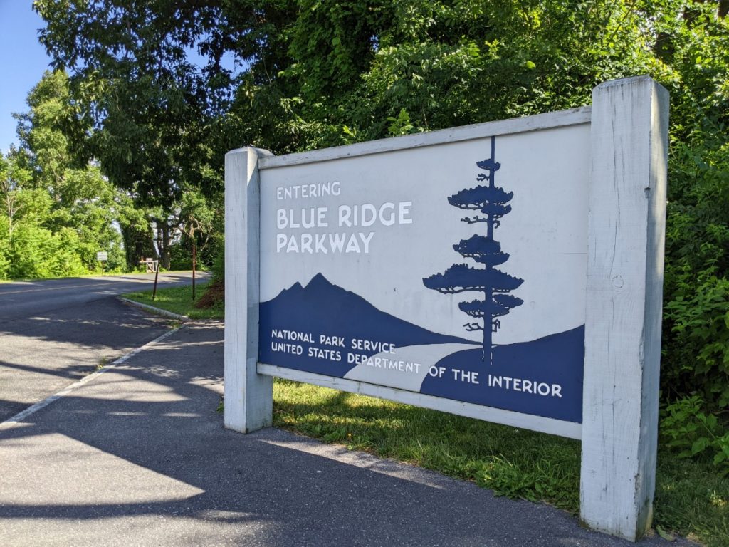
Blue Ridge Parkway
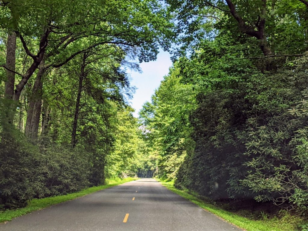
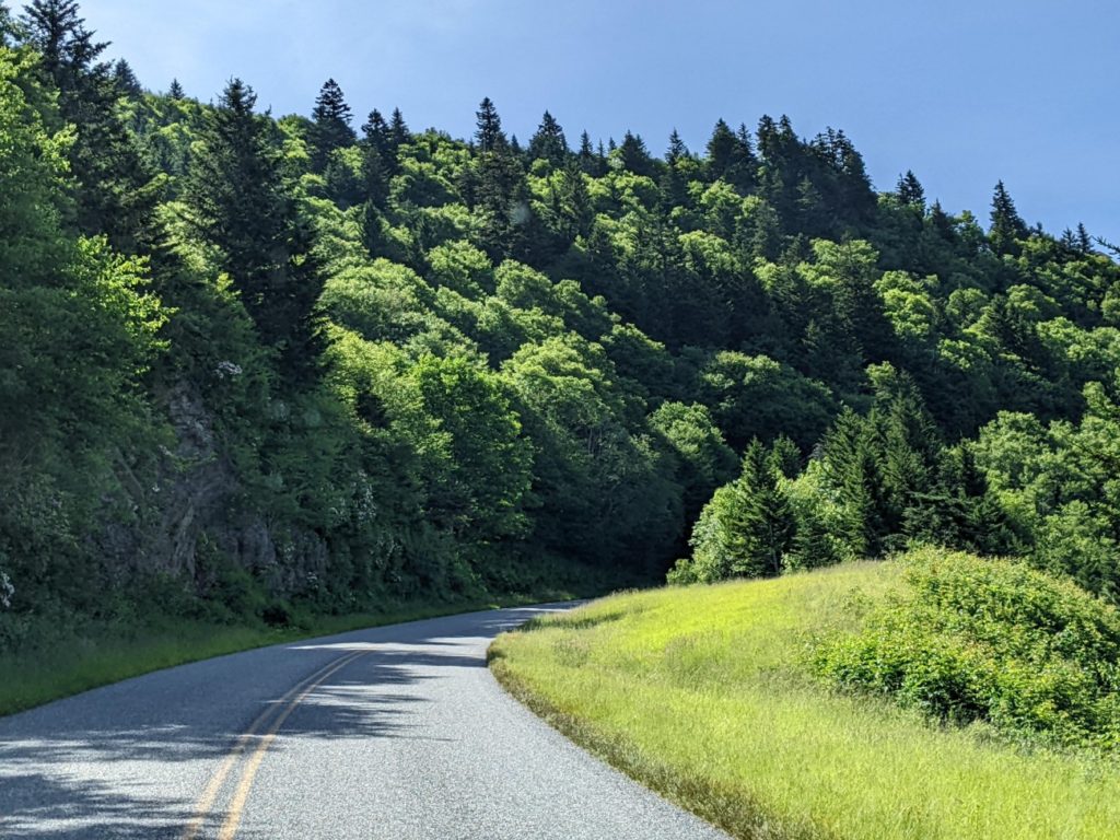
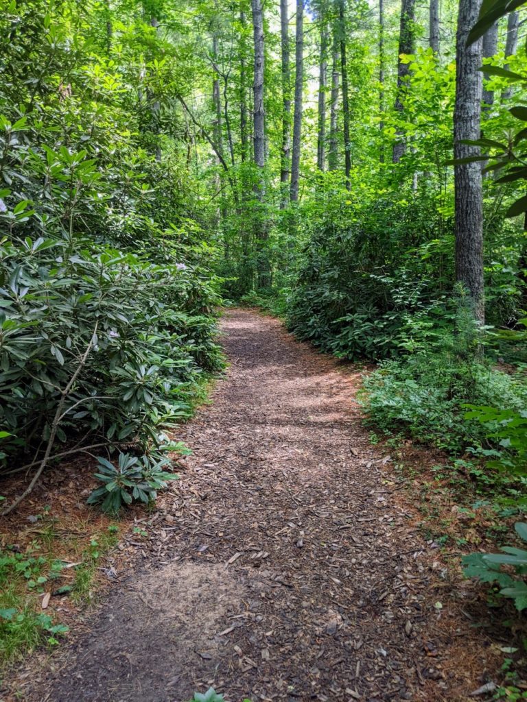
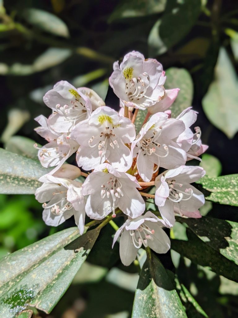
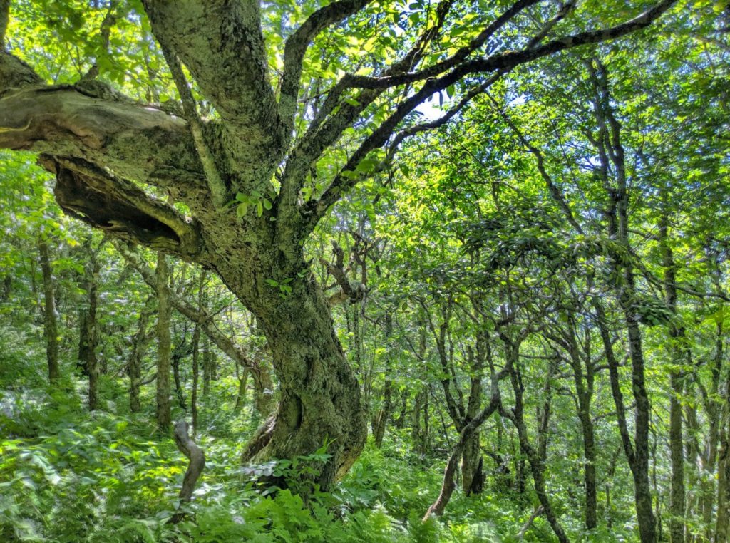
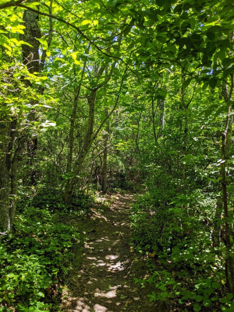
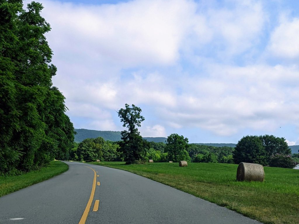
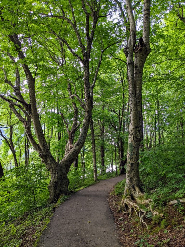
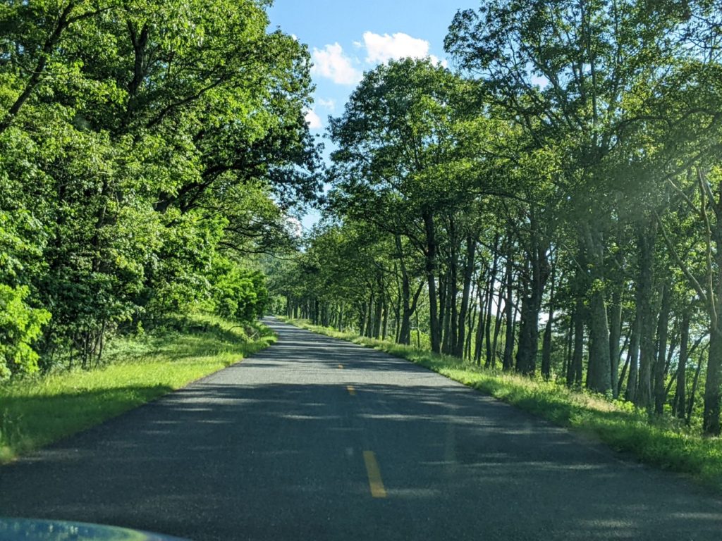
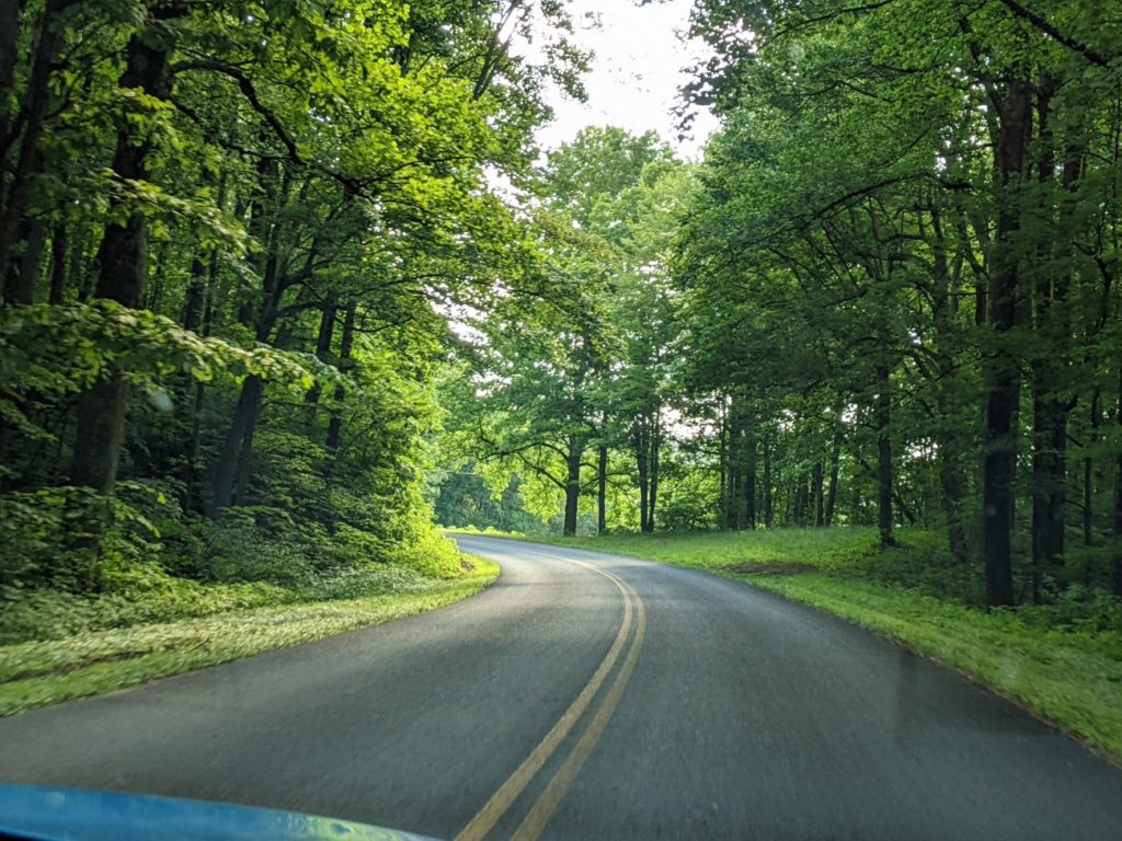
Because, truly, the Blue Ridge Parkway feels like a world unto itself. I hated it when I had to get off and into the “real world.” It feels so solitary and set apart from cities and highways, and driving past preserved Appalachian cabins and farms, you could almost believe the modern world doesn’t exist. You don’t need your GPS and you can just drive. This is especially true during the week and away from cities where there’s less traffic. Saturdays around Asheville are significantly more crowded.
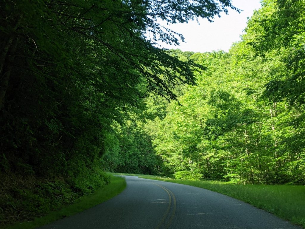
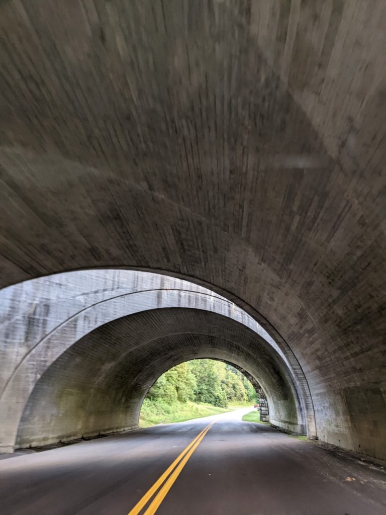
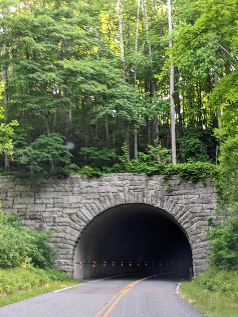
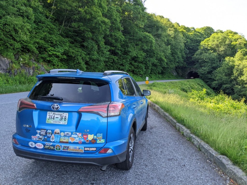
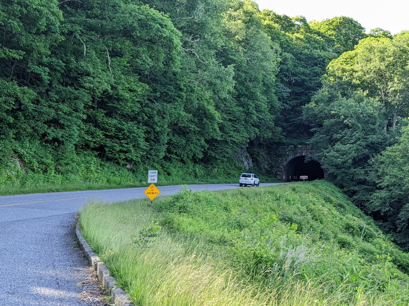
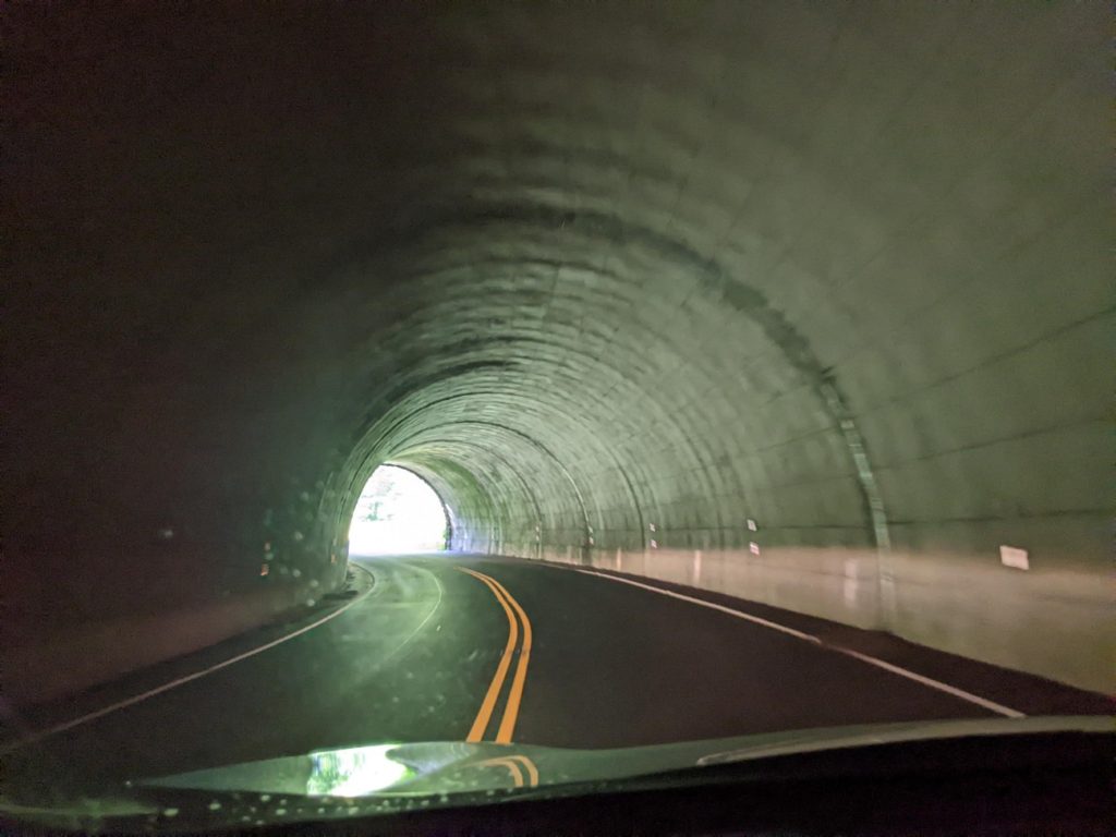
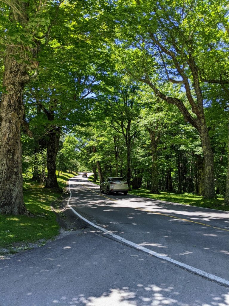
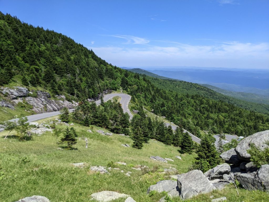
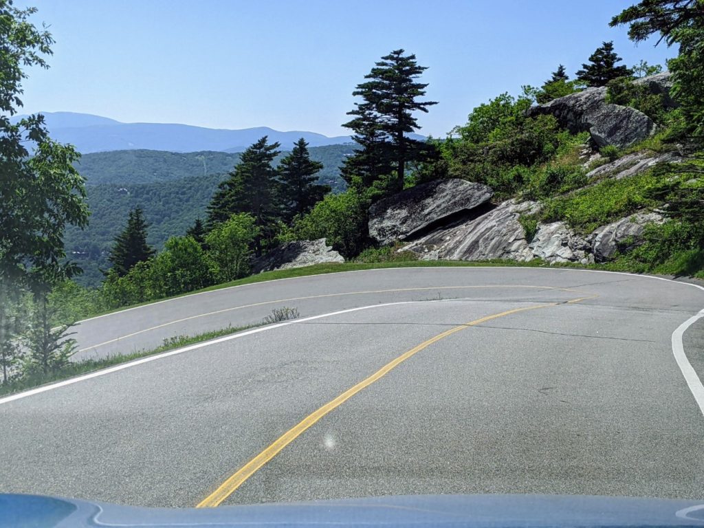
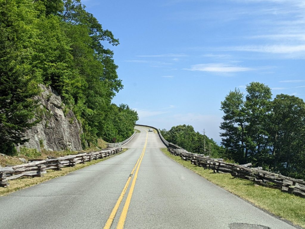
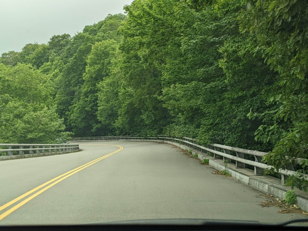
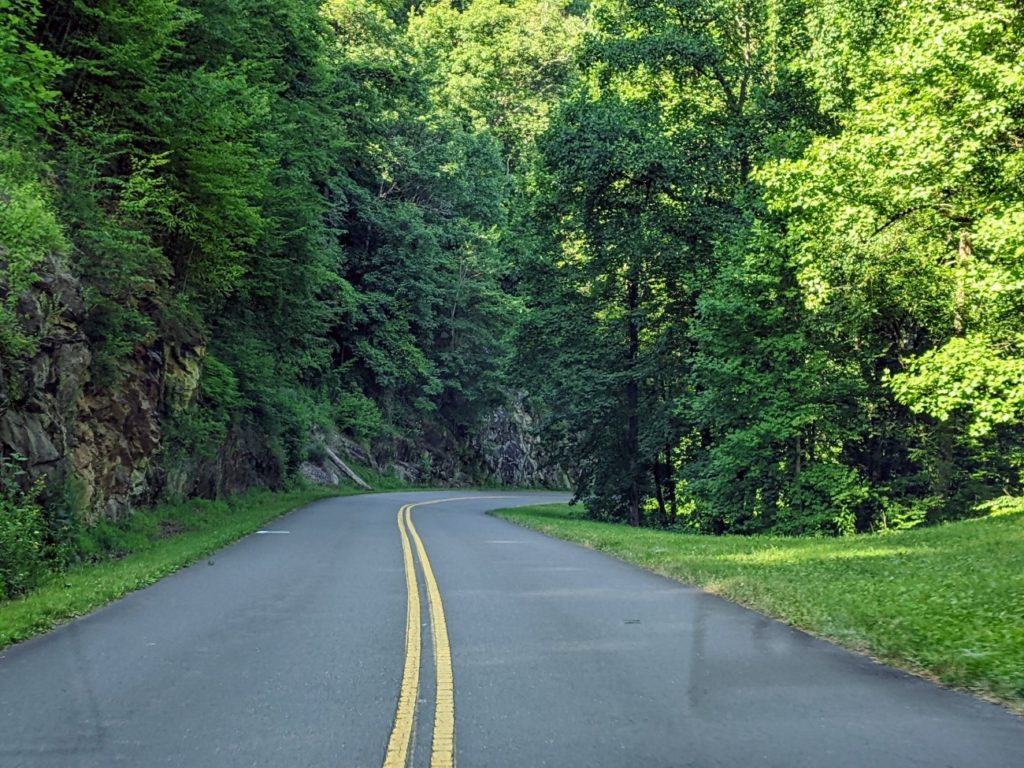
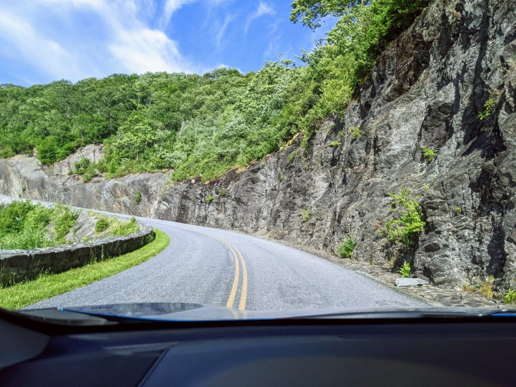
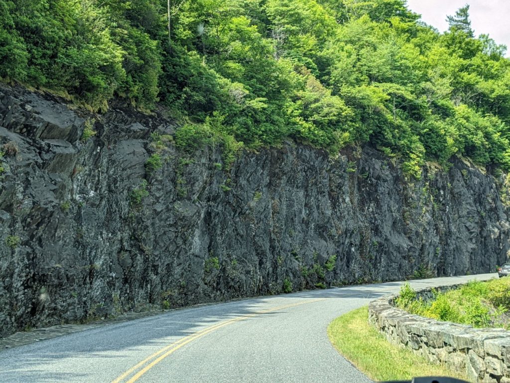
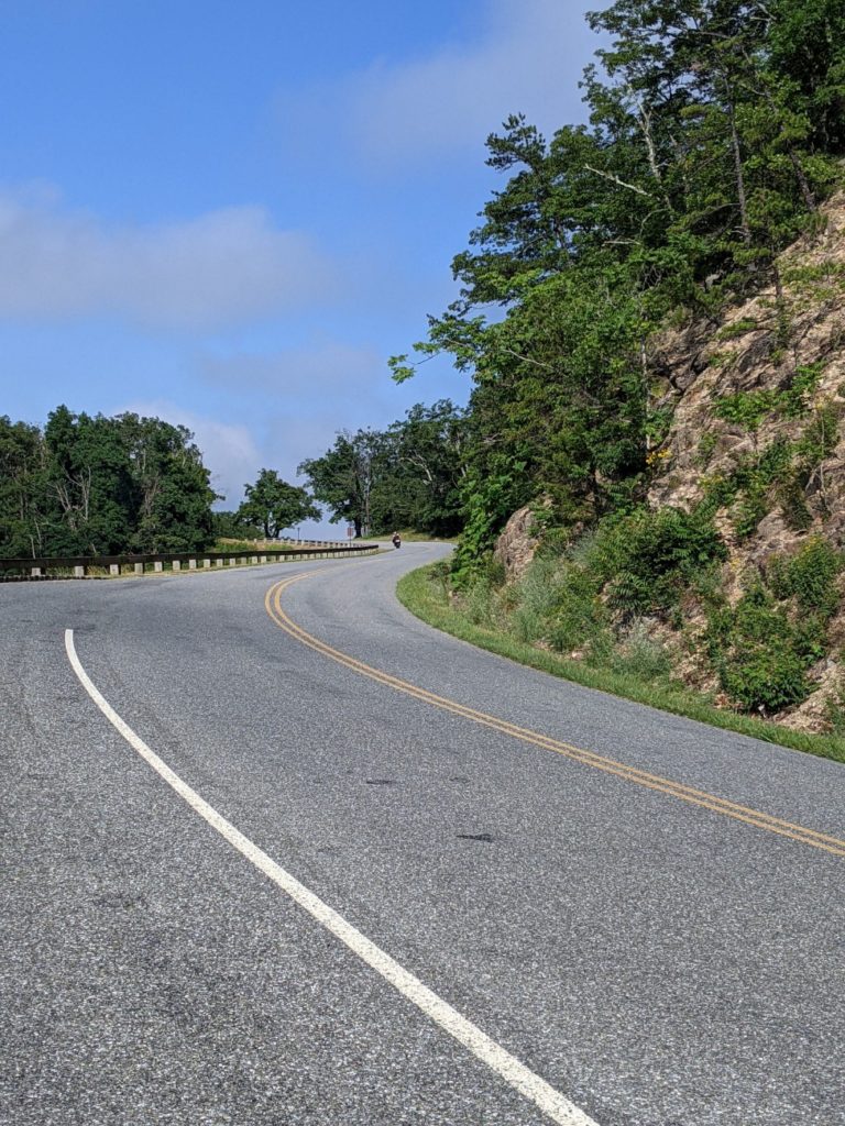
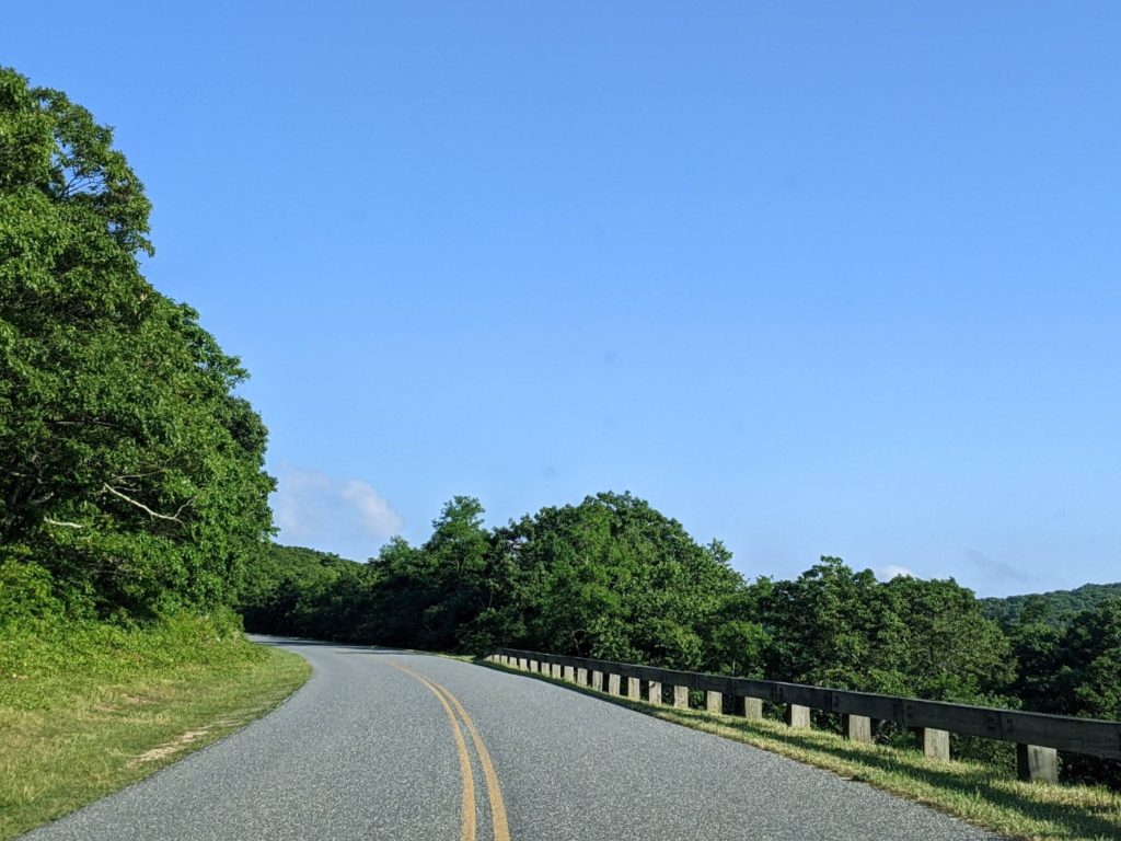
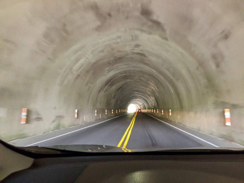
The real joy of the Blue Ridge Parkway is the road itself. The curves and views and tunnels are so fun to drive. Even more so if you have a motorcycle or a sports car. But keep in mind the speed limit for the entire parkway never gets above 45. All but one of the Blue Ridge Parkway’s 26 tunnels are in North Carolina and seem particularly concentrated at the south end.


Planning
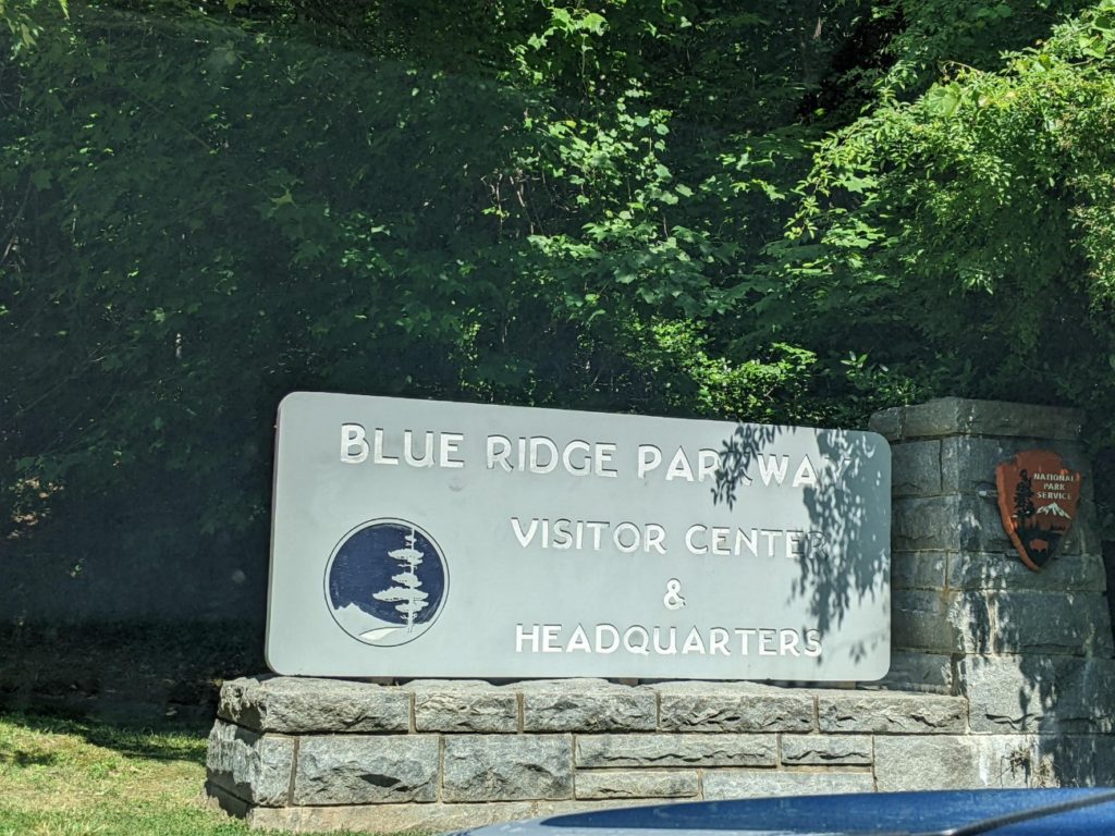
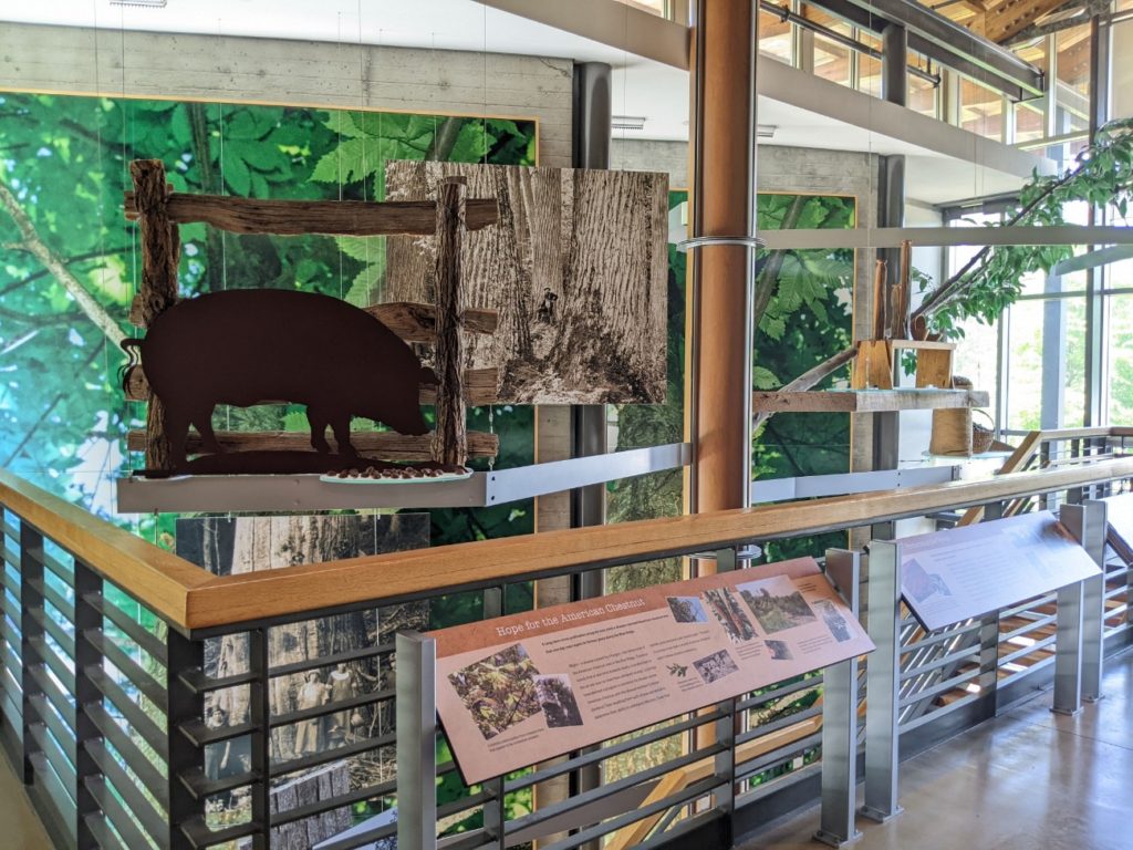
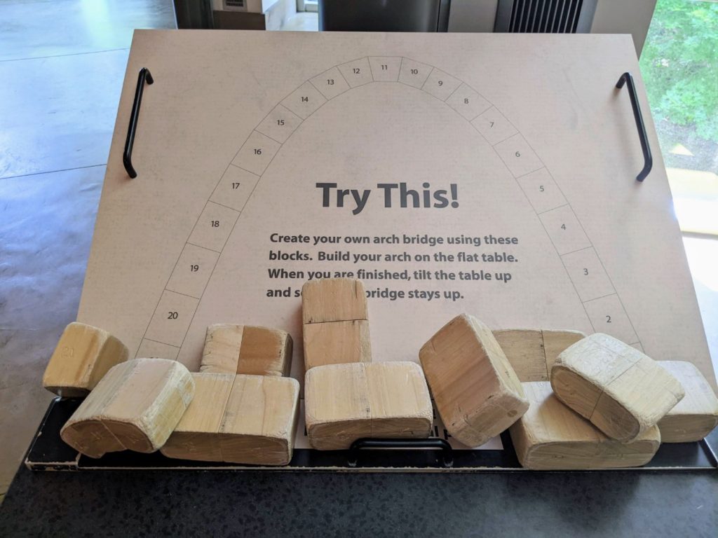
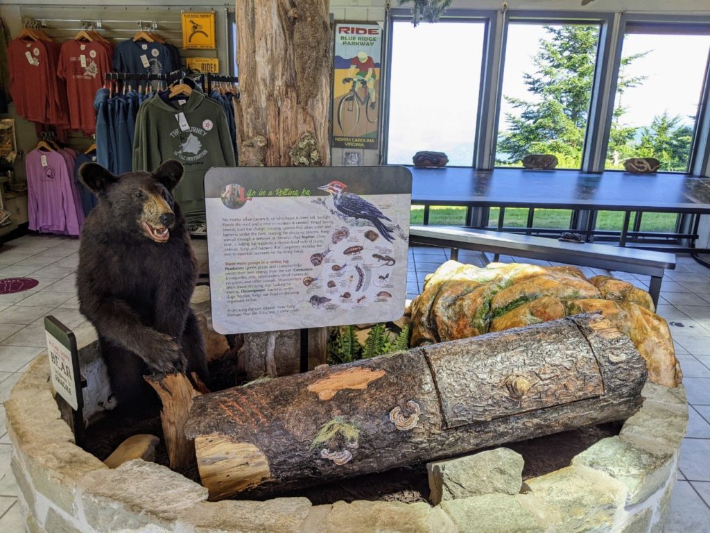
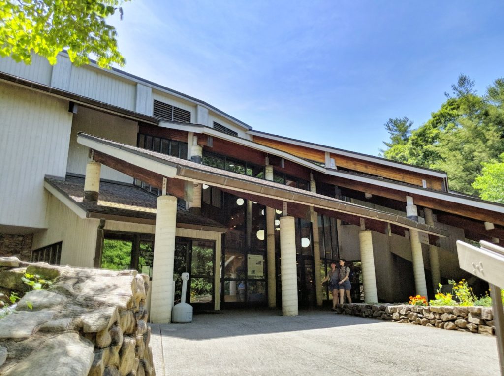
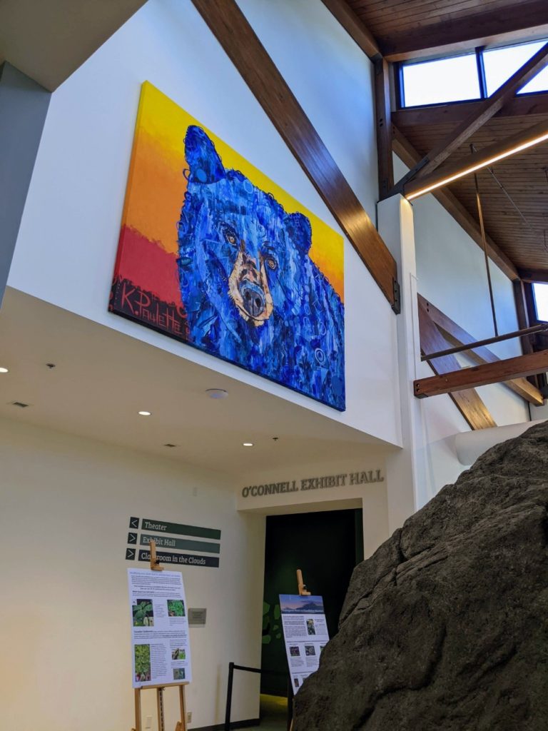
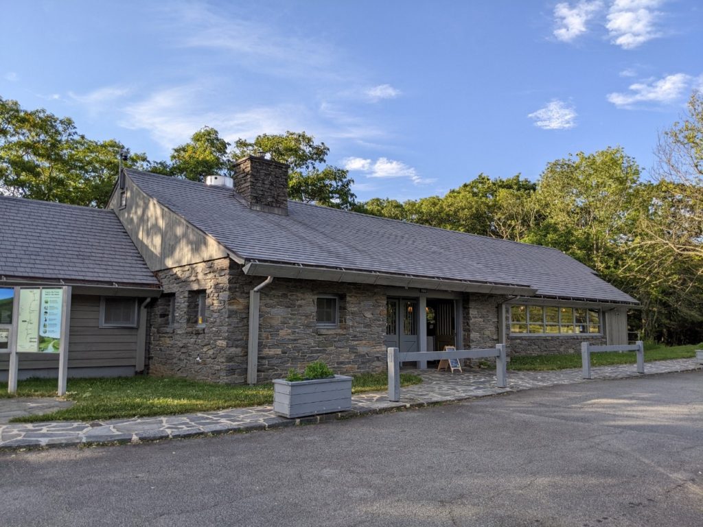
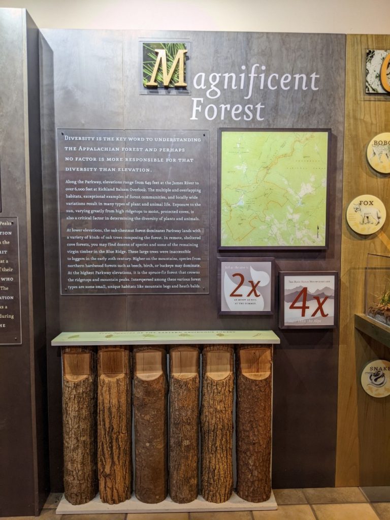
I did do a very little bit of planning, in that while I was staying in Asheville, I visited the Blue Ridge Parkway Visitor Center. There, you can see exhibits on the parkway overall, try to build your own tunnel arch (I failed), and get some in-person information at the help desk.
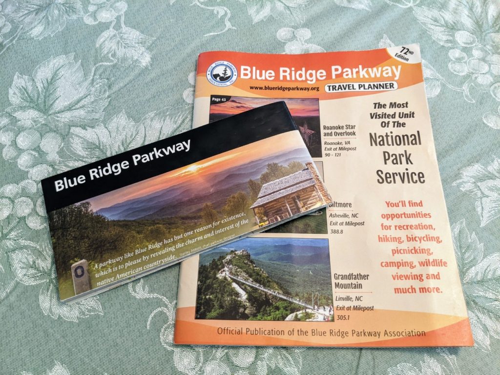
Here, I got the official parkway map and a super helpful “Blue Ridge Parkway Travel Planner,” a 98-page magazine listing points of interest, maps, and recommended food and lodging for parkway-adjacent cities. Everything is listed by mile marker, starting at the north end in Waynesboro, Virginia, and ending at mile marker 469 in Cherokee, North Carolina.
You can pick up the travel planner and map at several stops along the way, though this was the only place I saw dedicated help staff for trip planning. I’m glad I got it ahead of time so I could circle the sights I was most interested in. Both the map and the planner got very well used during my trip!
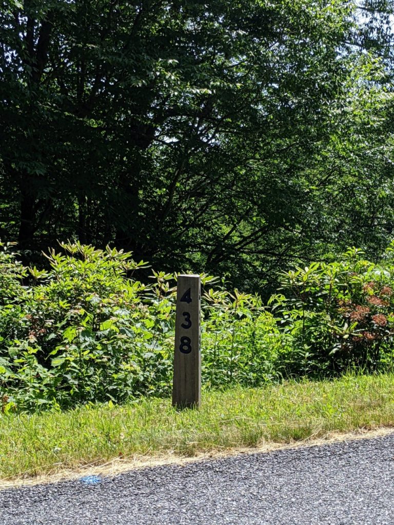
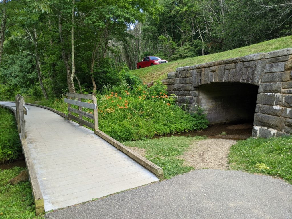
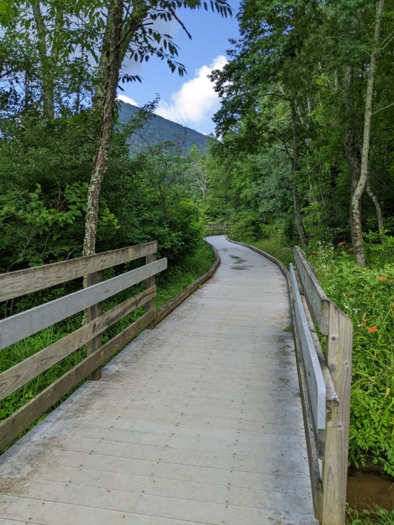
At first, I thought I might have to keep track of the miles myself, but there are stone mile markers on the side of the parkway with the mile number inscribed on each side for both directions of traffic. In true National Park style, they’re subtle, but very helpful when trying to navigate the parkway.
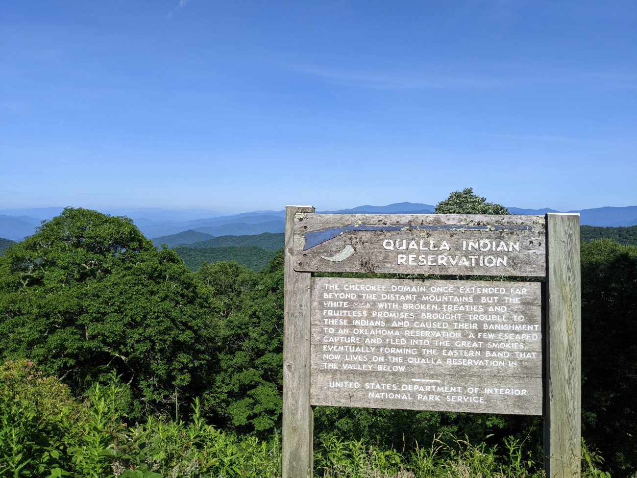
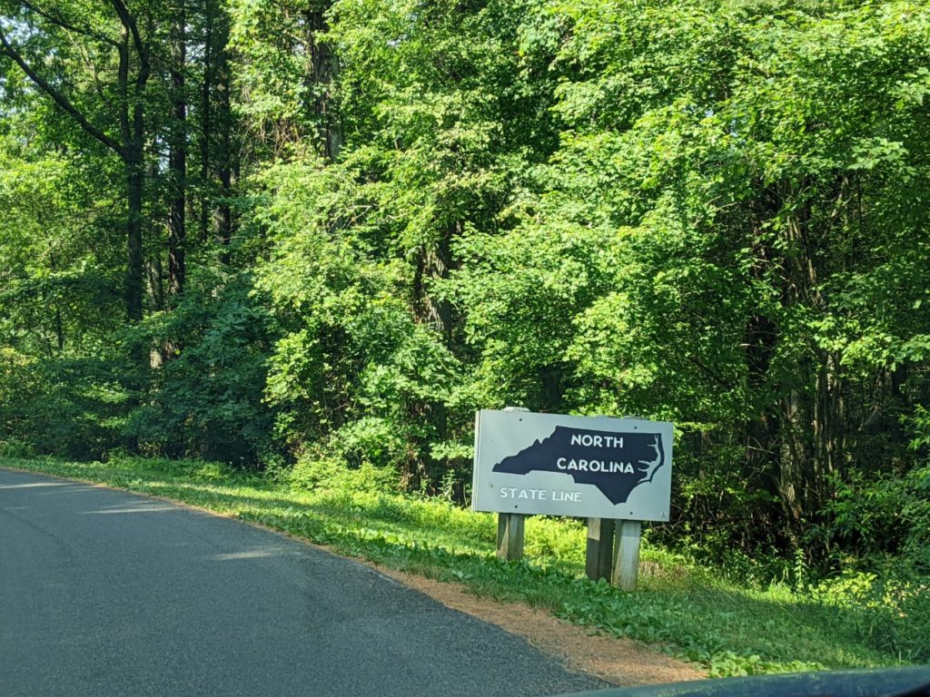
Cherokee, NC
I drove the Blue Ridge Parkway from the south to the north, since I was starting out near Asheville. Asheville, Maggie Valley, Cherokee, and the whole Gatlinburg/Pigeon Forge area make good base cities if you’re going to be somewhere for a few days before your drive. Though I might lean more towards Asheville if you want to spend a few days sightseeing, or Maggie Valley if you want to be more relaxed.
Cherokee itself is nice enough (I’d love to see Unto These Hills someday) and has plenty of hotels but I found lodging and food options to be a bit overpriced and under-delivered for my satisfaction. And if you get into the whole Gatlinburg/Pigeon Forge machine, there’s so much to do you might not ever leave.

Starting in Asheville, it’s only about an hour and a half to the south end of the Blue Ridge Parkway (driving off-parkway.) When I did it, I stopped at Joey’s Pancake House in Maggie Valley for breakfast before continuing down to Cherokee to start my drive at the very end of the Blue Ridge Parkway. Definitely don’t skip the section of the parkway between Asheville and Cherokee. It has some of the twistiest curves and lots of tunnels.
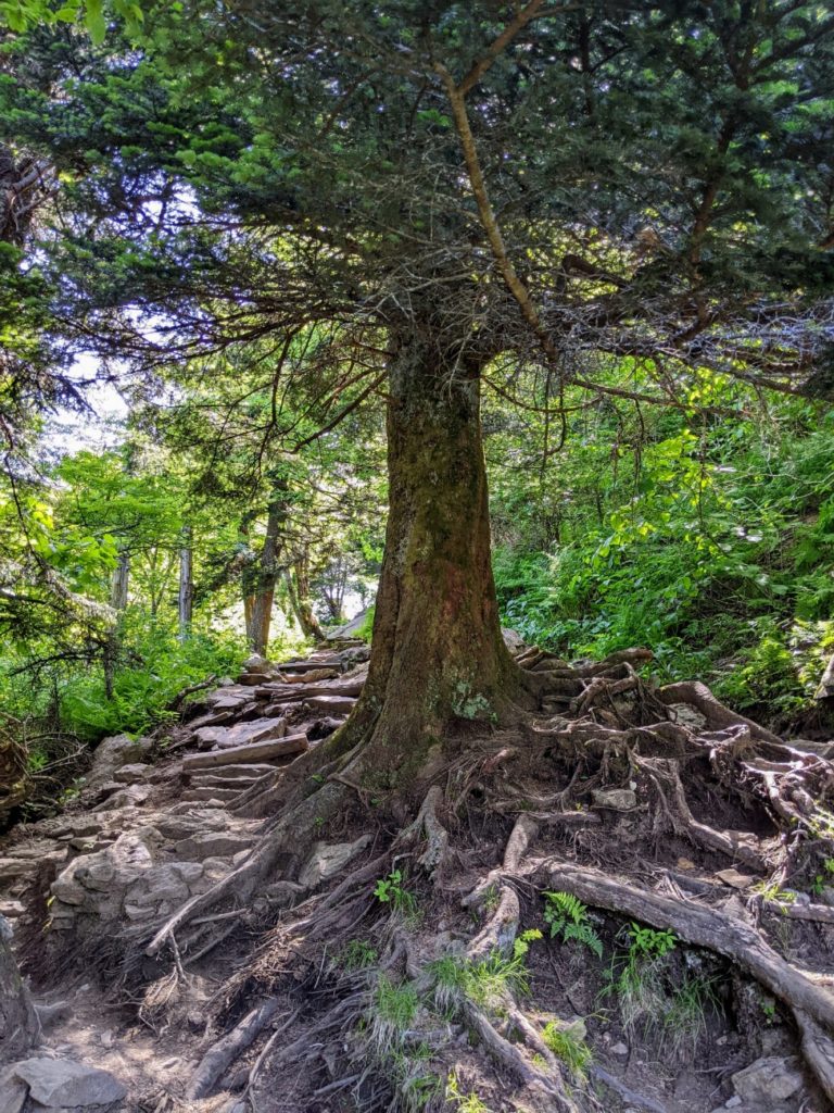
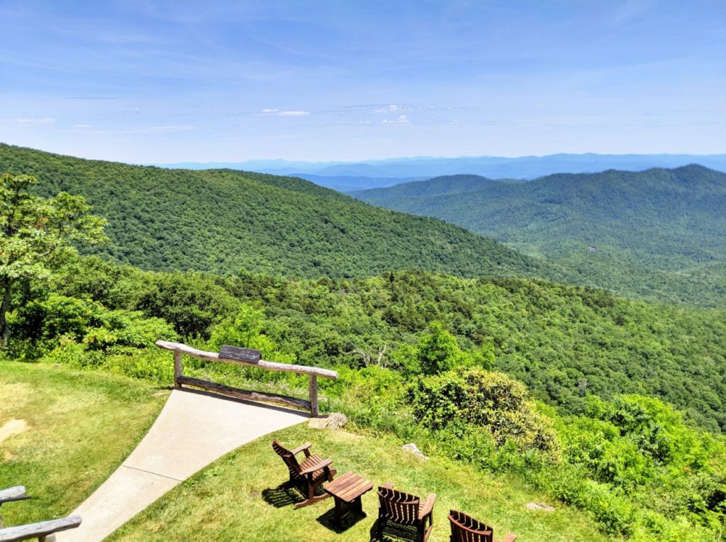
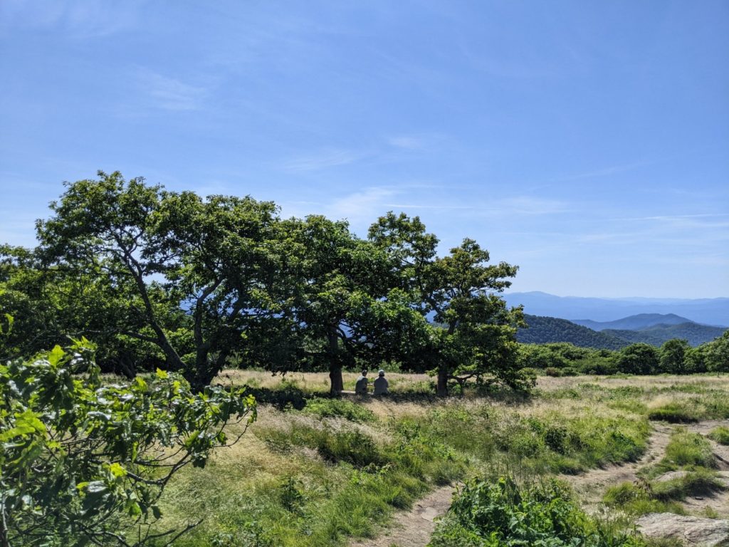
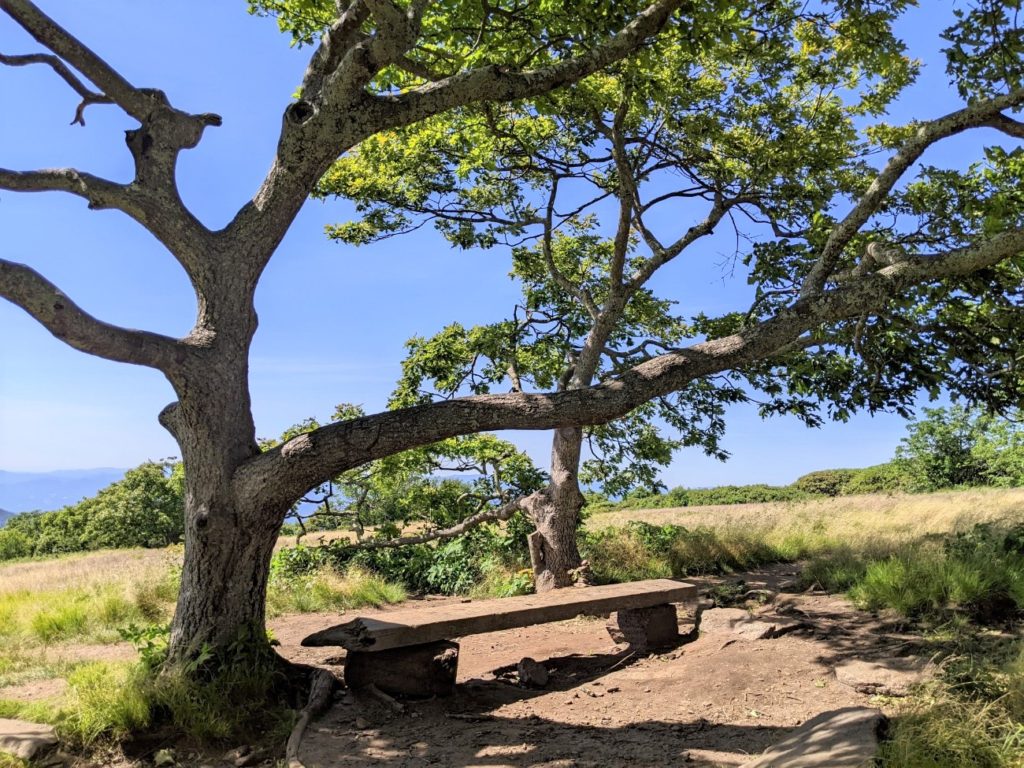
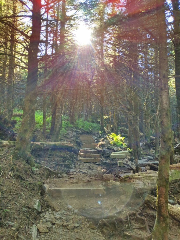
Overlooks and Tunnels
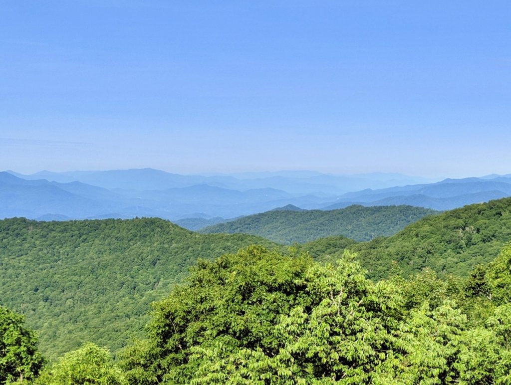
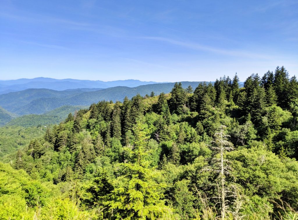
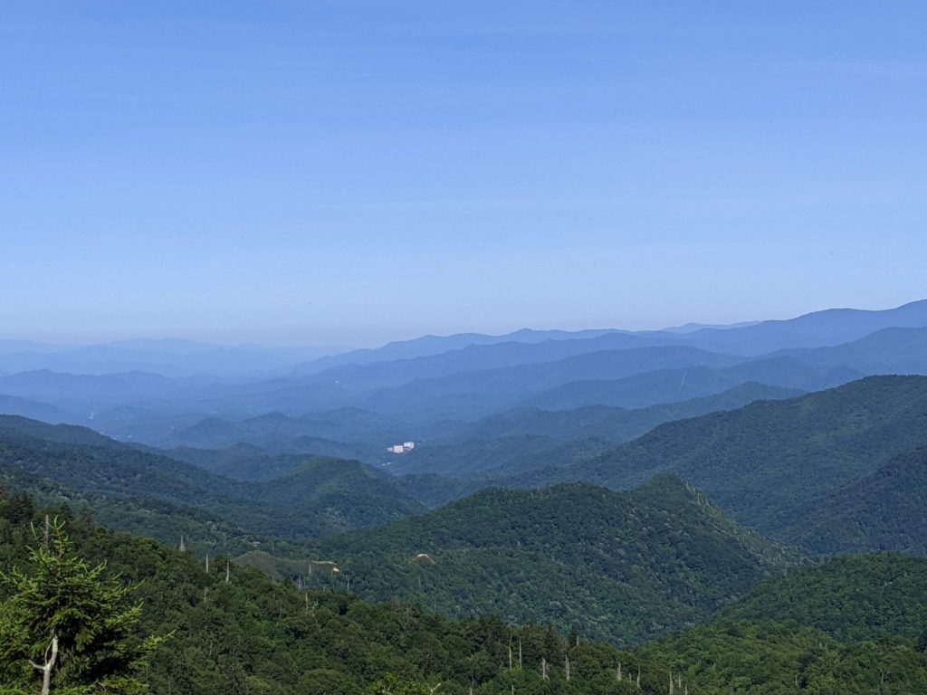
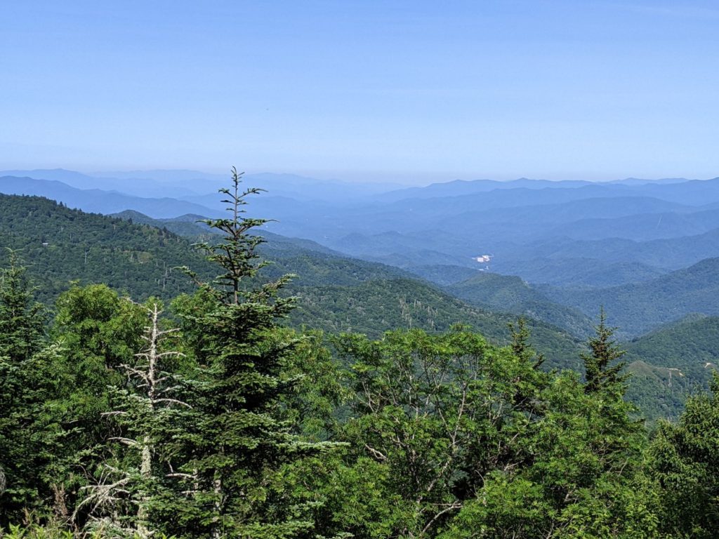
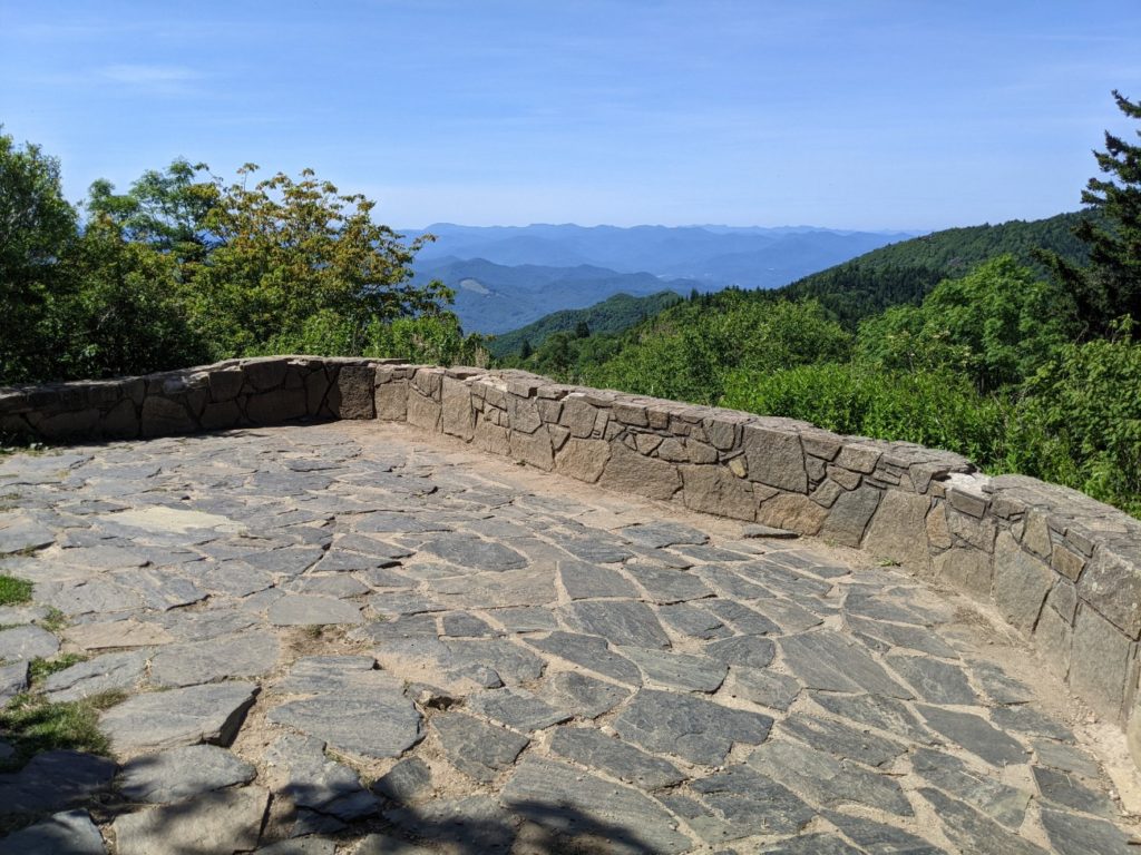
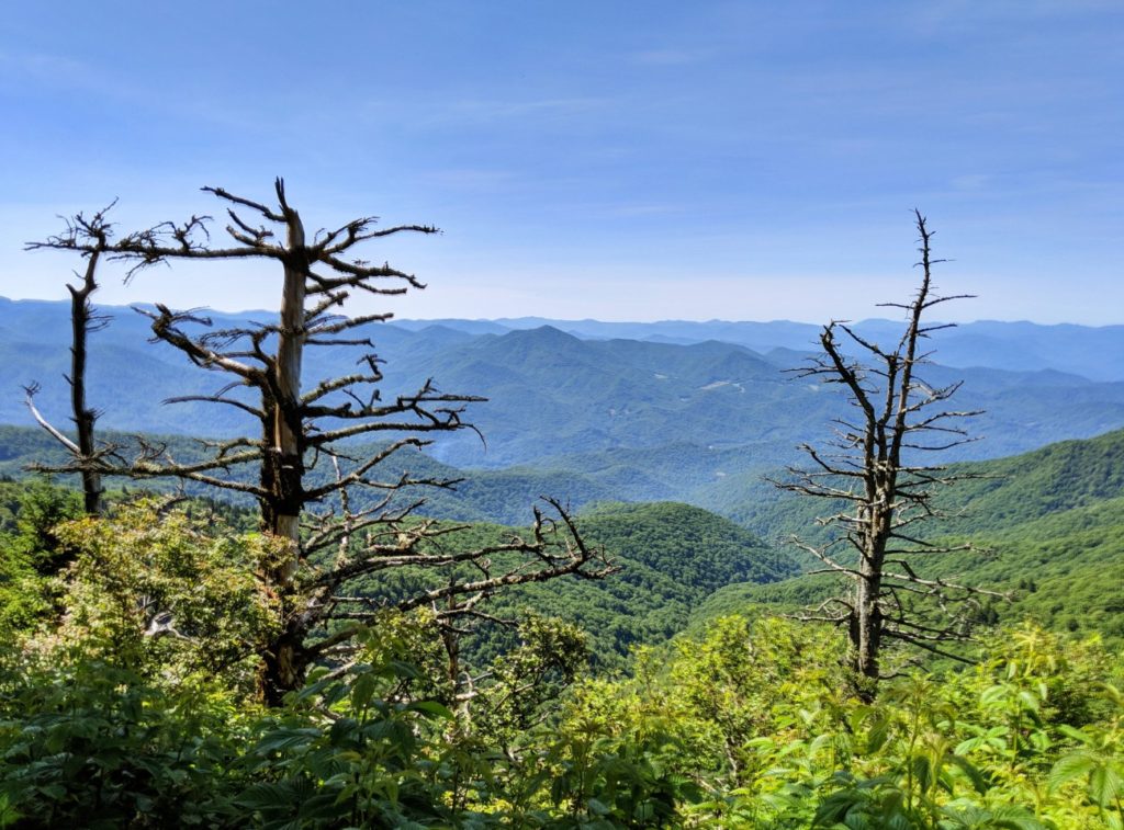
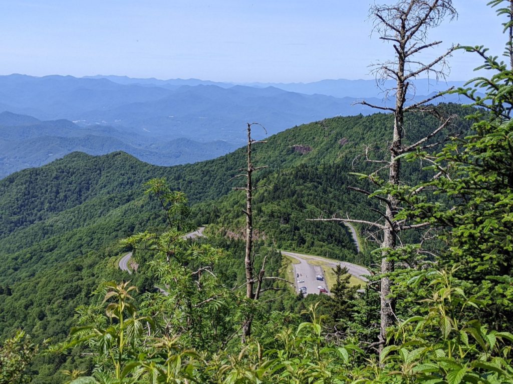
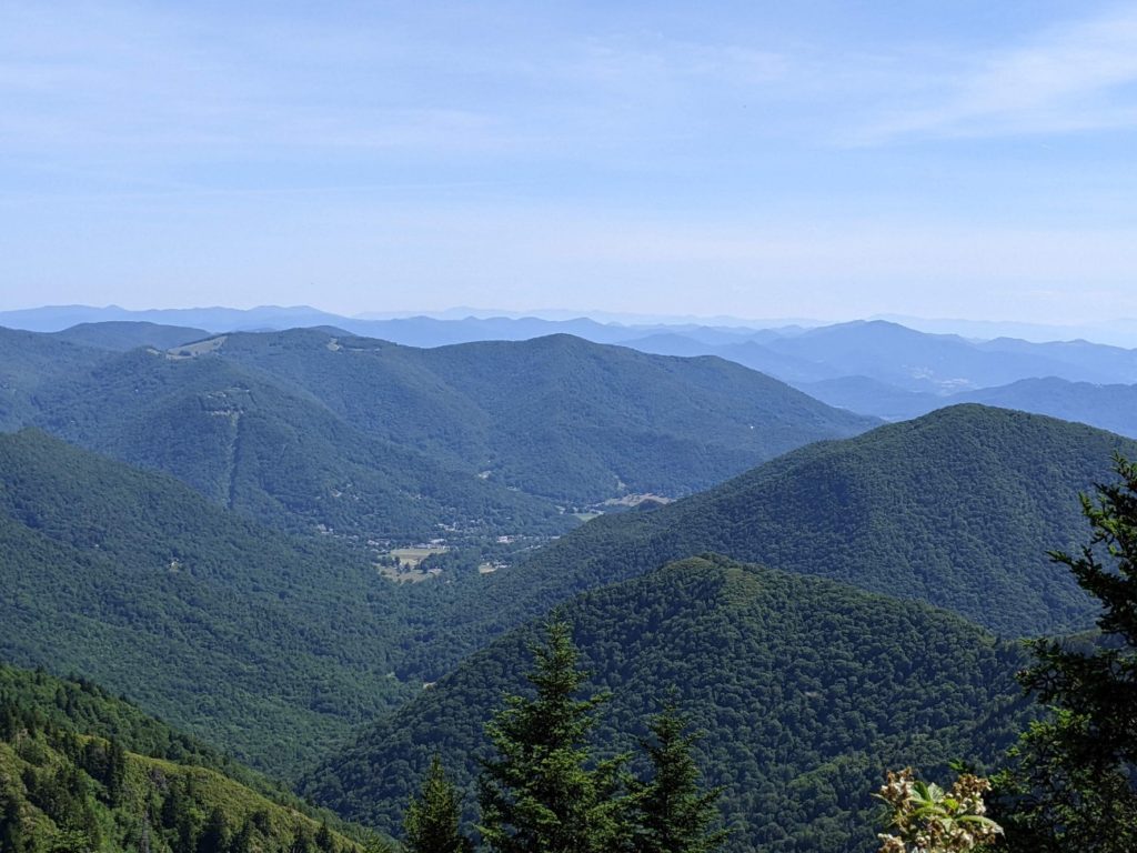
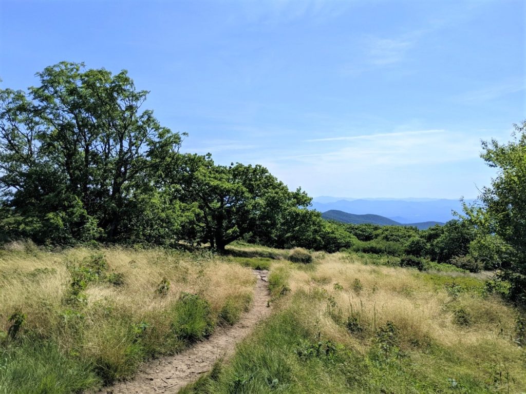
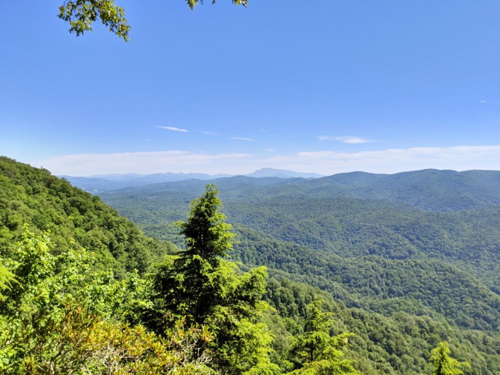
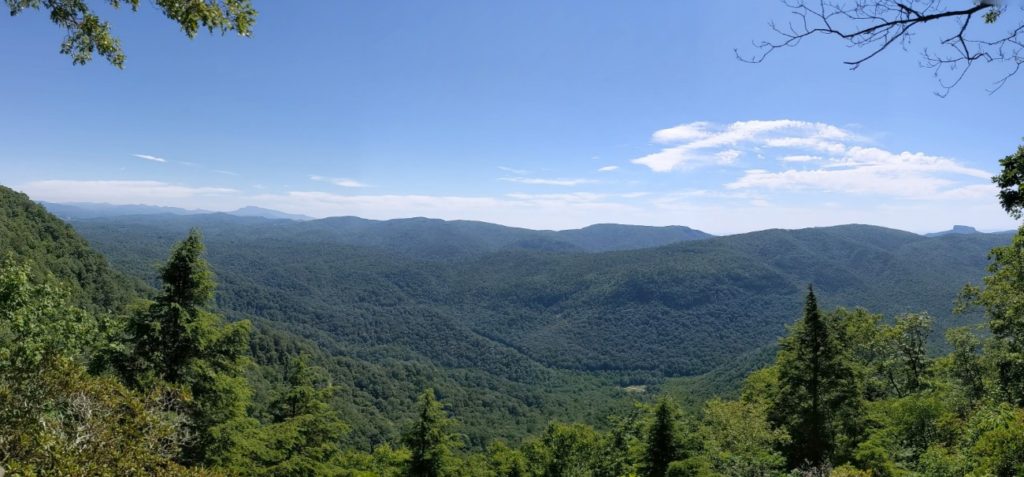
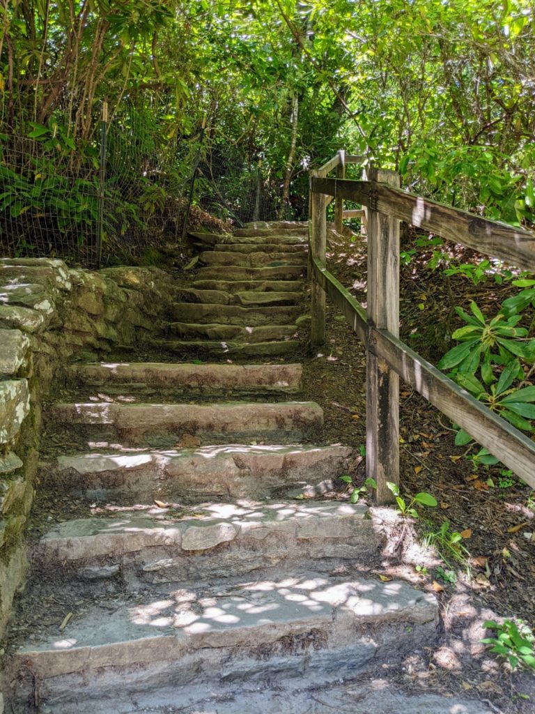
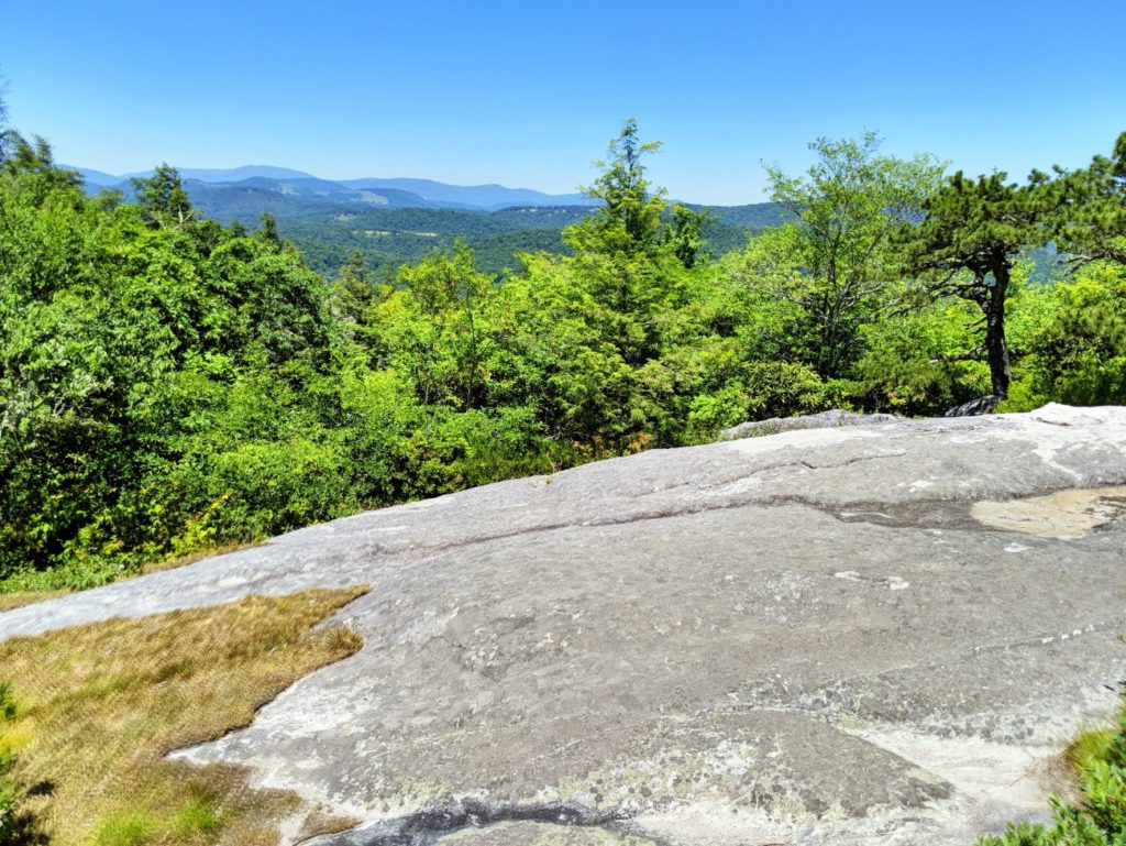
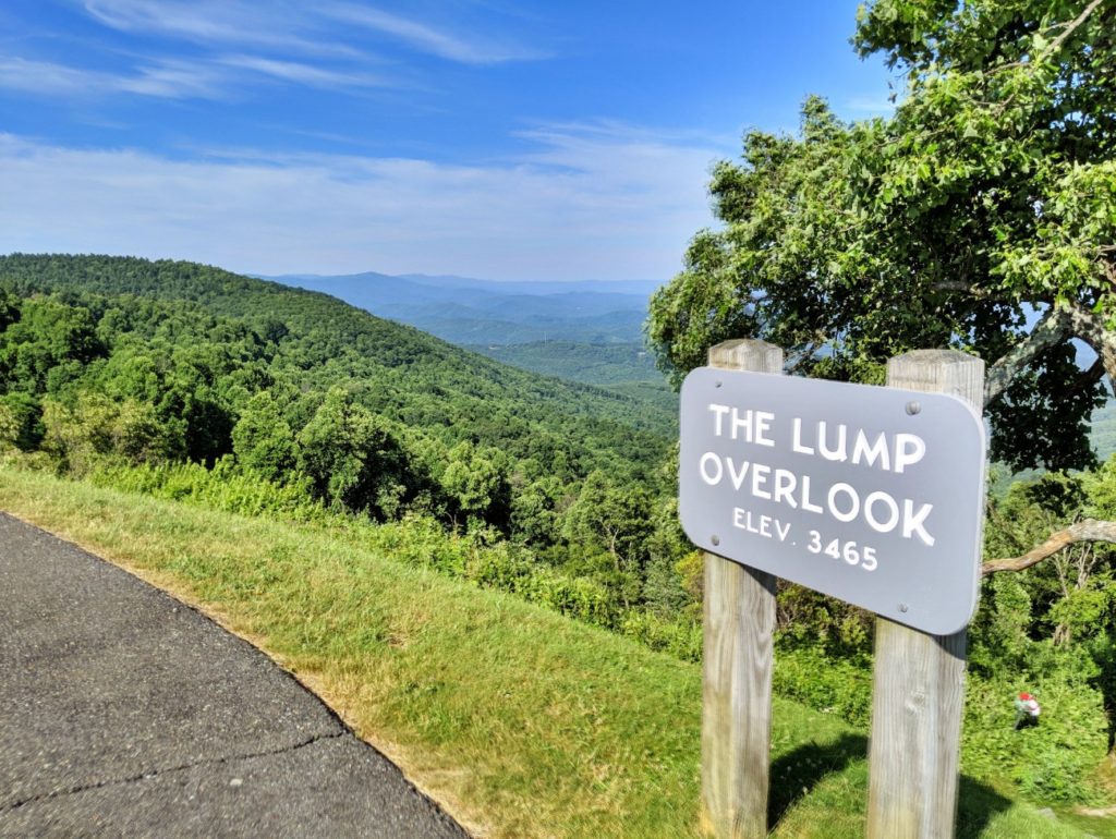
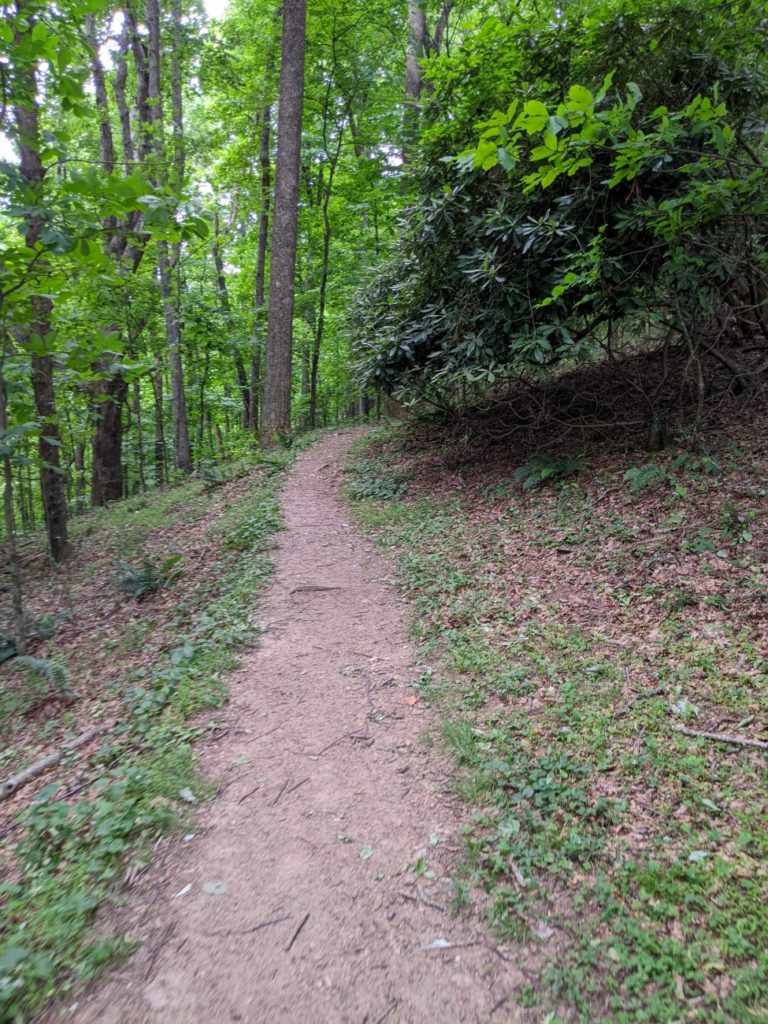
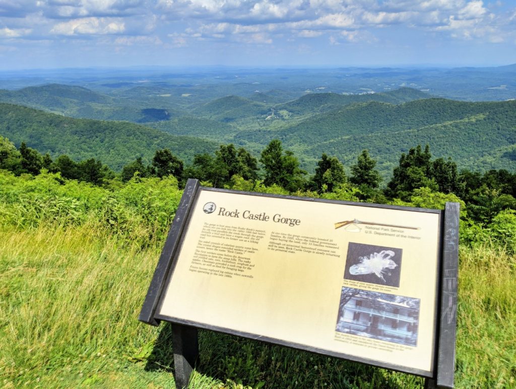
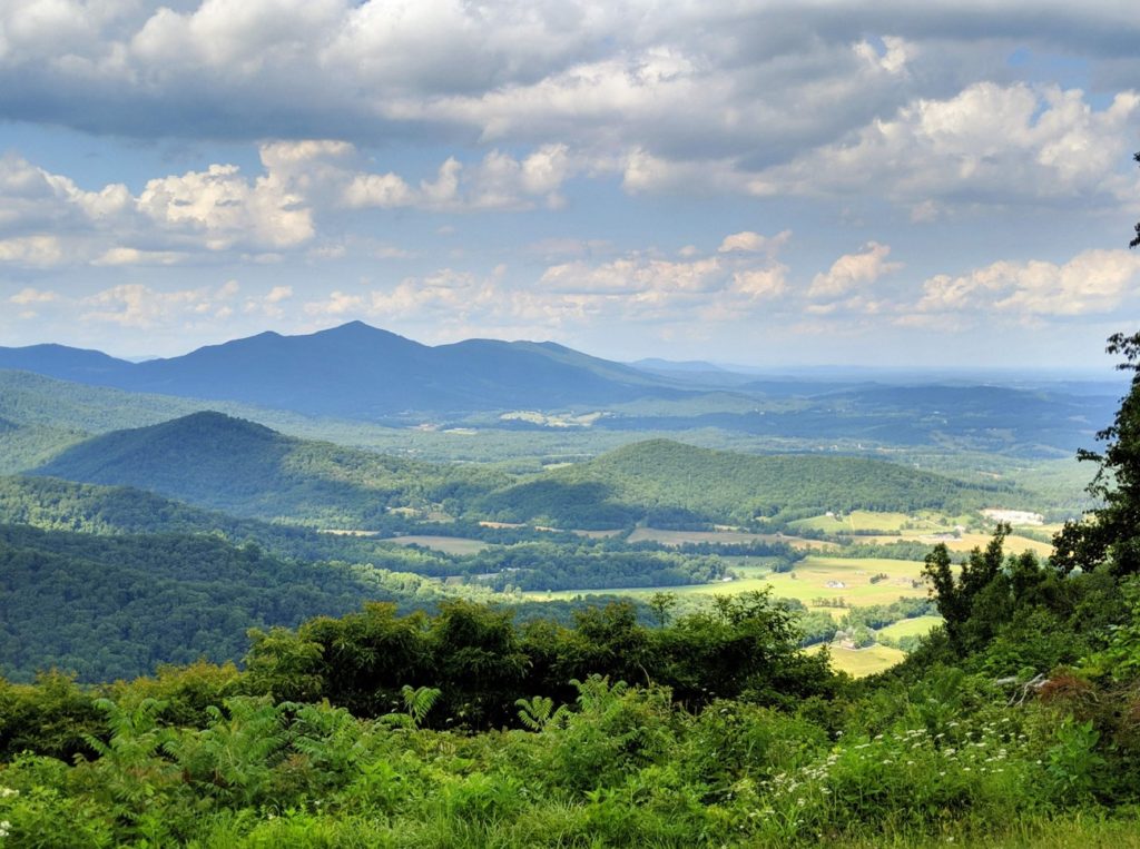
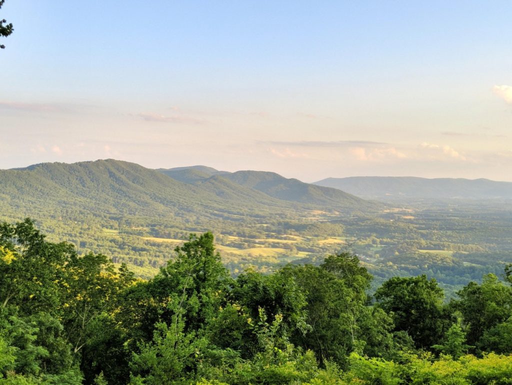
It´s tempting to stop at every overlook when you first start out, especially on the North Carolina end. The endless layers of blue of the mountains are enthralling! But there seem to be overlooks just about every 100 yards. I found that the farther up the parkway I drove, the fewer overlooks I pulled off for.
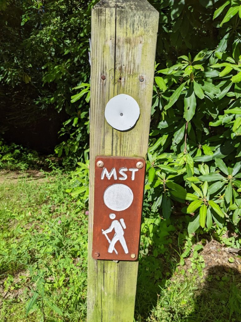
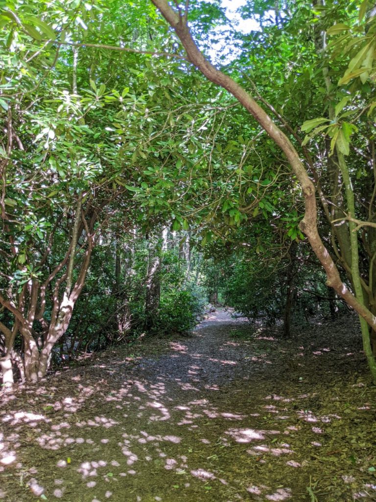
At the south end of the Blue Ridge Parkway, you´ll see lots of signs for the MST. I notice them particularly around the Asheville-area visitor center and Folk Art Center. The MST is the Mountains-to-sea trail, 1175 miles of trails and roads running from the Great Smoky Mountain National Park to the Outer Banks. Sections of the trail intersect with the Blue Ridge Parkway in several places.
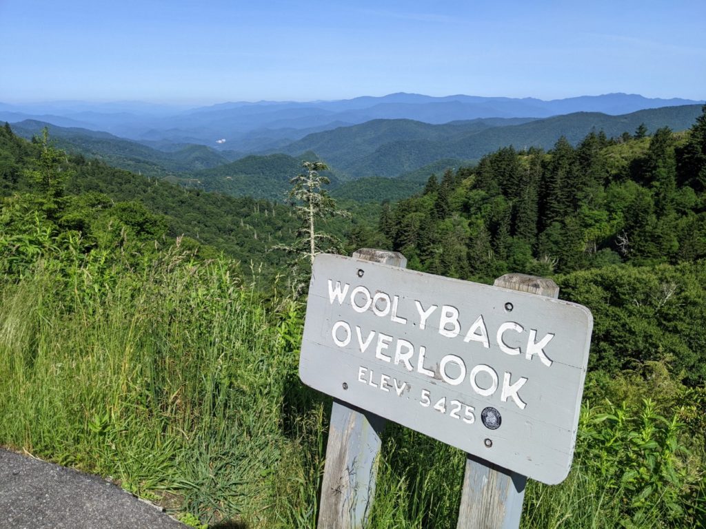
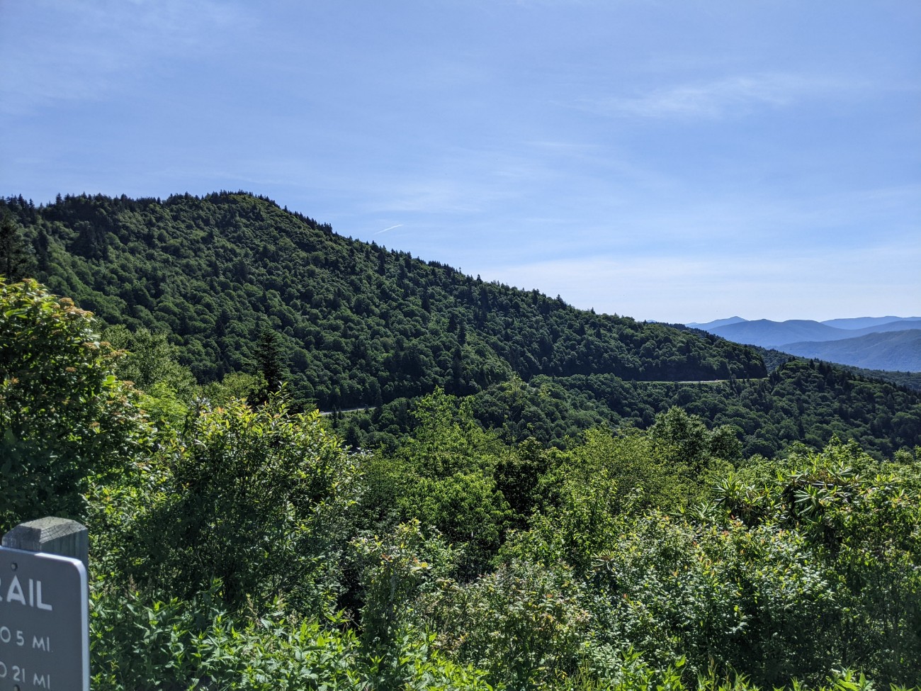
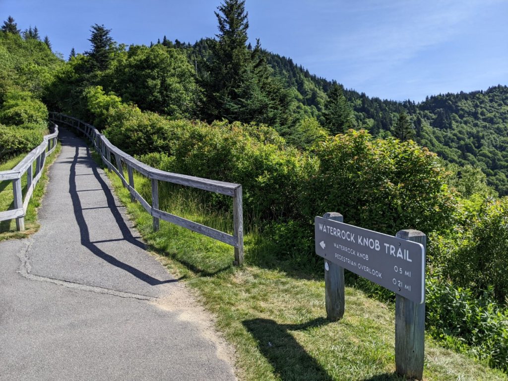
Waterrock Knob
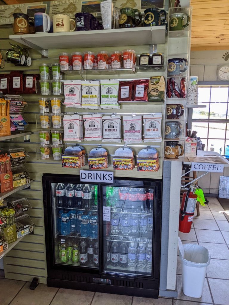
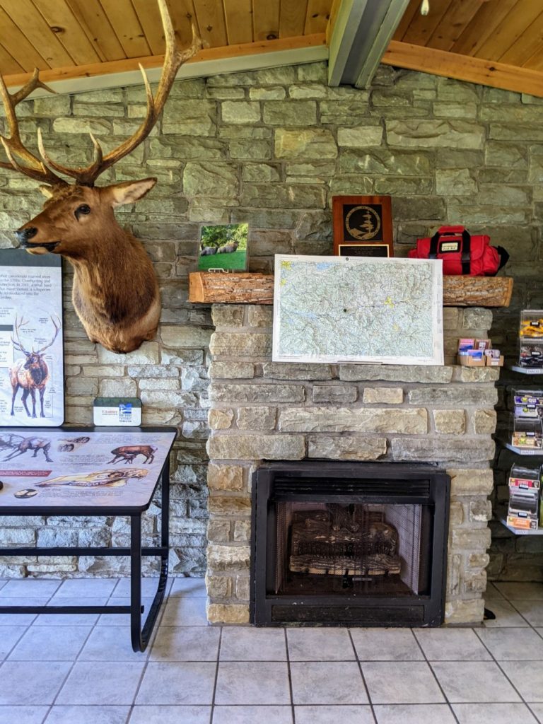
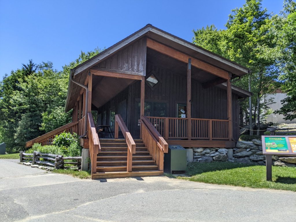
Waterrock knob is the first big-ish stop on the Blue Ridge Parkway when starting at the south end. (Though I swear it took forever to go those 18 miles – probably due to all the overlooks.) A turnoff takes you up to a large parking area with picnic tables, vault toilets, and a small ranger station and gift shop.
Inside the ranger station are nature displays plus the usual souvenirs and snacks. Park Rangers are on duty to answer any questions you may have.

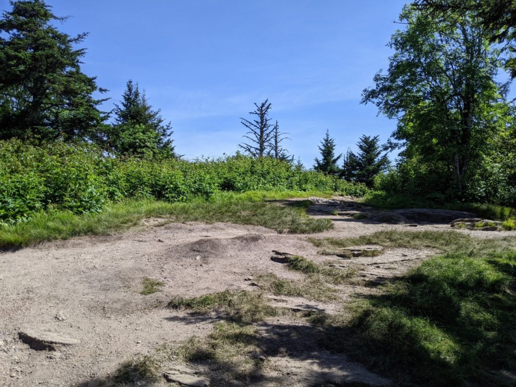
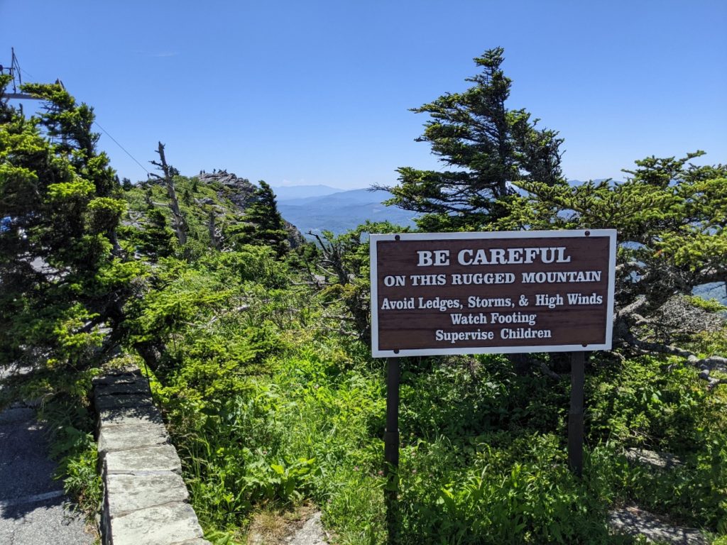
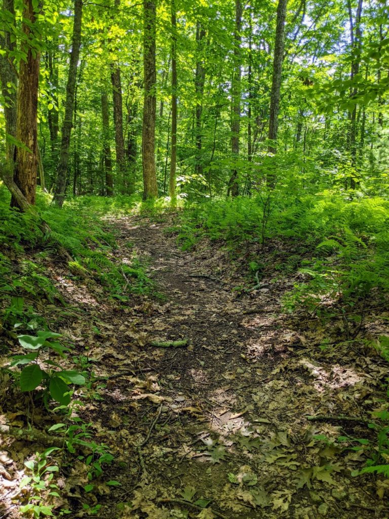
Behind the ranger station is a short but steep trail to the top of Waterrock Knob. A paved trail leads up to a stone ledge overlook. A steeper trail goes another quarter-mile up to the knob.
And y’all – it is not worth it! The views from the parking lot are better than the ones up here. Since it’s a summit hike, it’s pretty steep, and at altitude, it can feel a bit hard on your lungs and legs. I was disappointed when I reached the top. Though I was told on the trail that you can walk a little farther to see plane wreckage from a 1983 crash. That trail is unmaintained though, so go at your own risk.
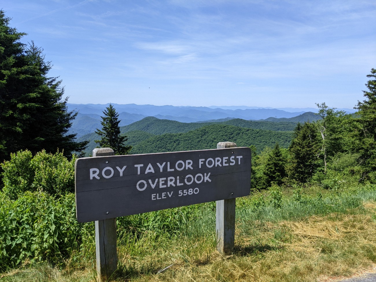
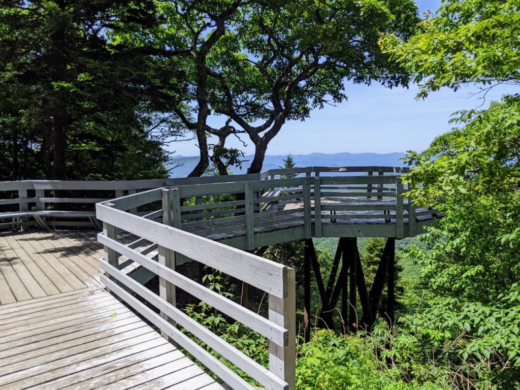
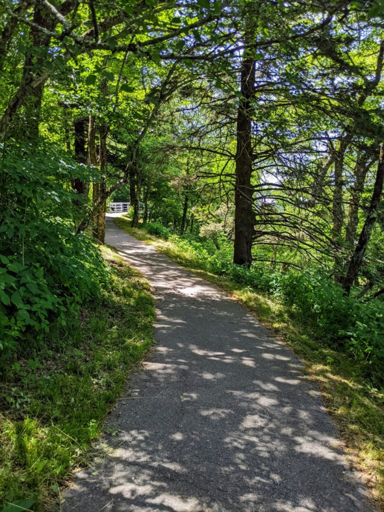
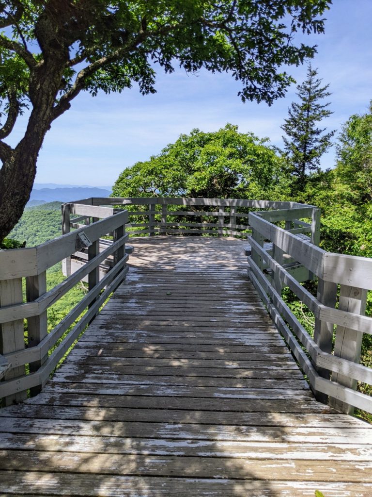
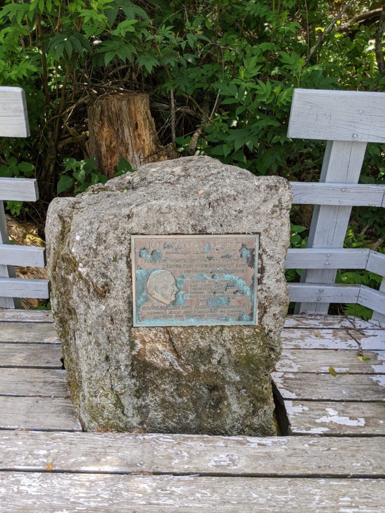
Roy Taylor Forest Overlook
The Roy Taylor Overlook is not a major stop, but worth getting out of your car for. There’s a short paved path to a wood platform with good views.
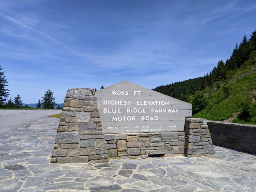
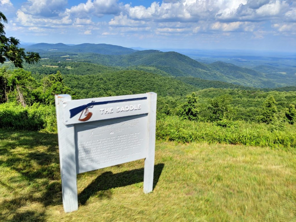
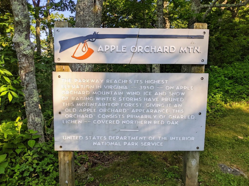
Highest Point on the Parkway
Less than 40 miles from the southern end of the Blue Ridge Parkway is its highest point, at 6053 feet in elevation.
You might have to wait in line for other visitors (and possibly their motorcycles) to clear before getting your own picture with the sign.
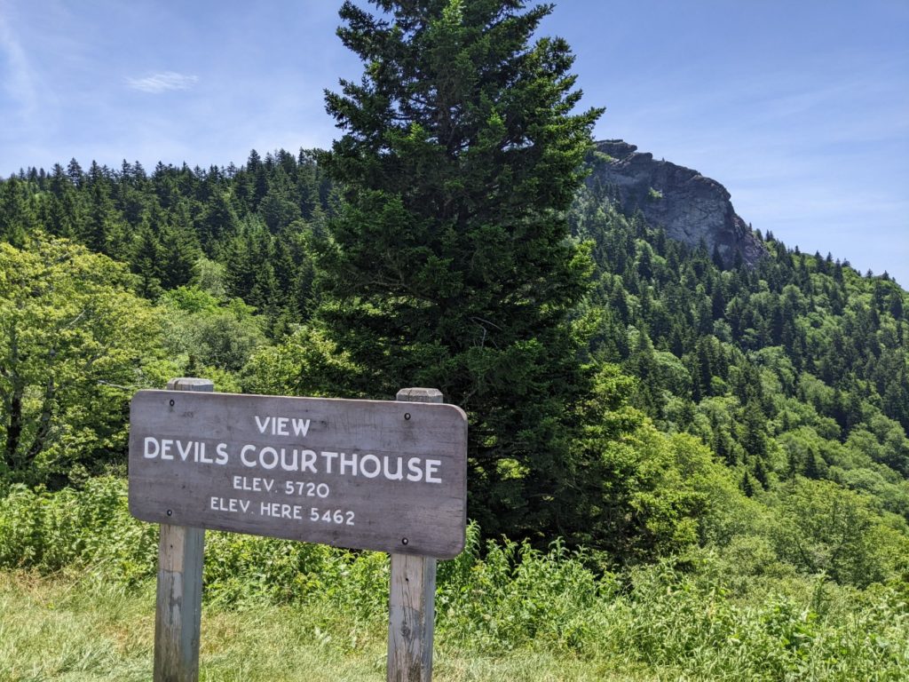
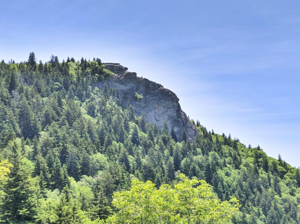
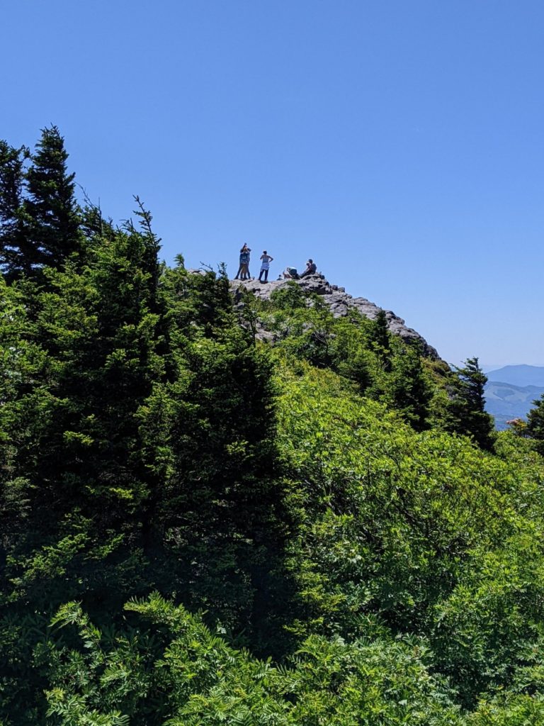
Devil’s Courthouse
Two popular hikes are around the 420 mile marker. First, is the Devil’s Courthouse, a “strenuous” 1/2 mile hike to panoramic views. I didn’t do this one – my joints were still hurting from the Waterrock Knob trail, which is considered easier. I wish I had done this instead – I would have gotten better views for my efforts.
The second trail is Graveyard Fields Overlook, a 2.3-mile loop to Yellowstone Falls, though you can view the lower falls just 1/3 of a mile from the parking area. Considering how crowded the parking lot was when I drove by on a Tuesday, it is a very popular hike! Note that there are bathrooms at this parking area.
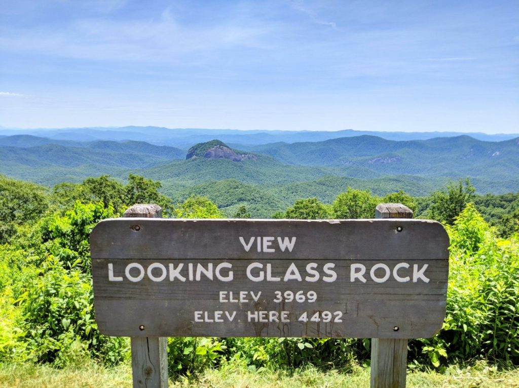
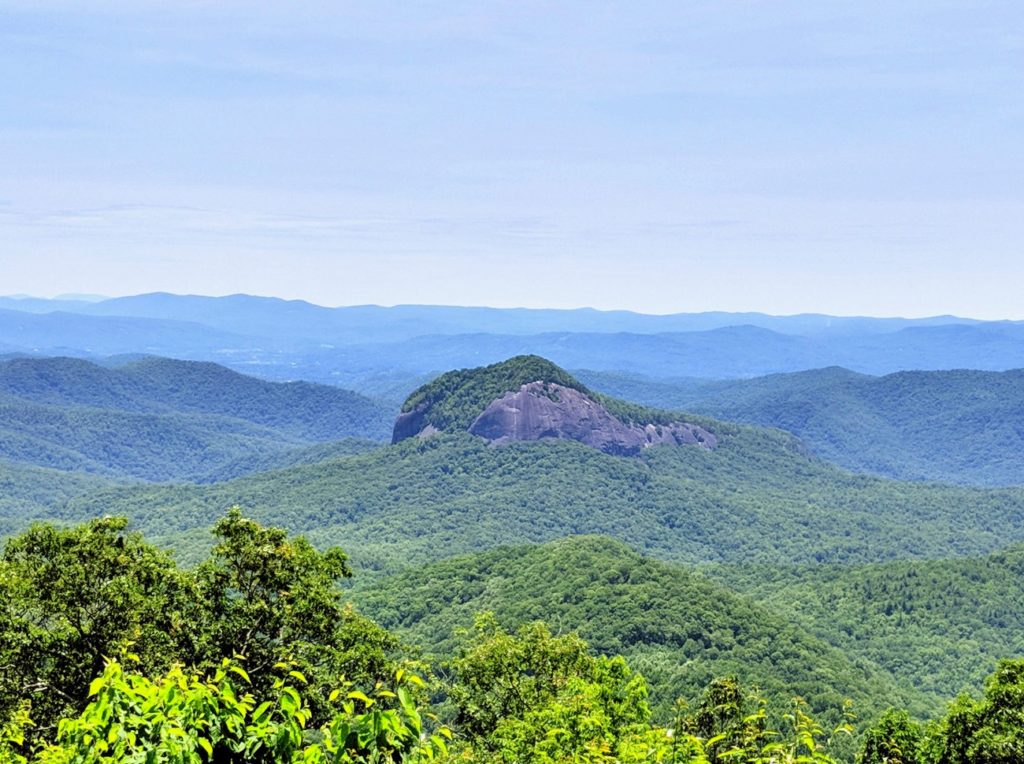
Looking Glass Rock
Next on the parkway is Looking Glass Rock, a granite outcropping that apparently gets very shiny when it’s wet or icy.
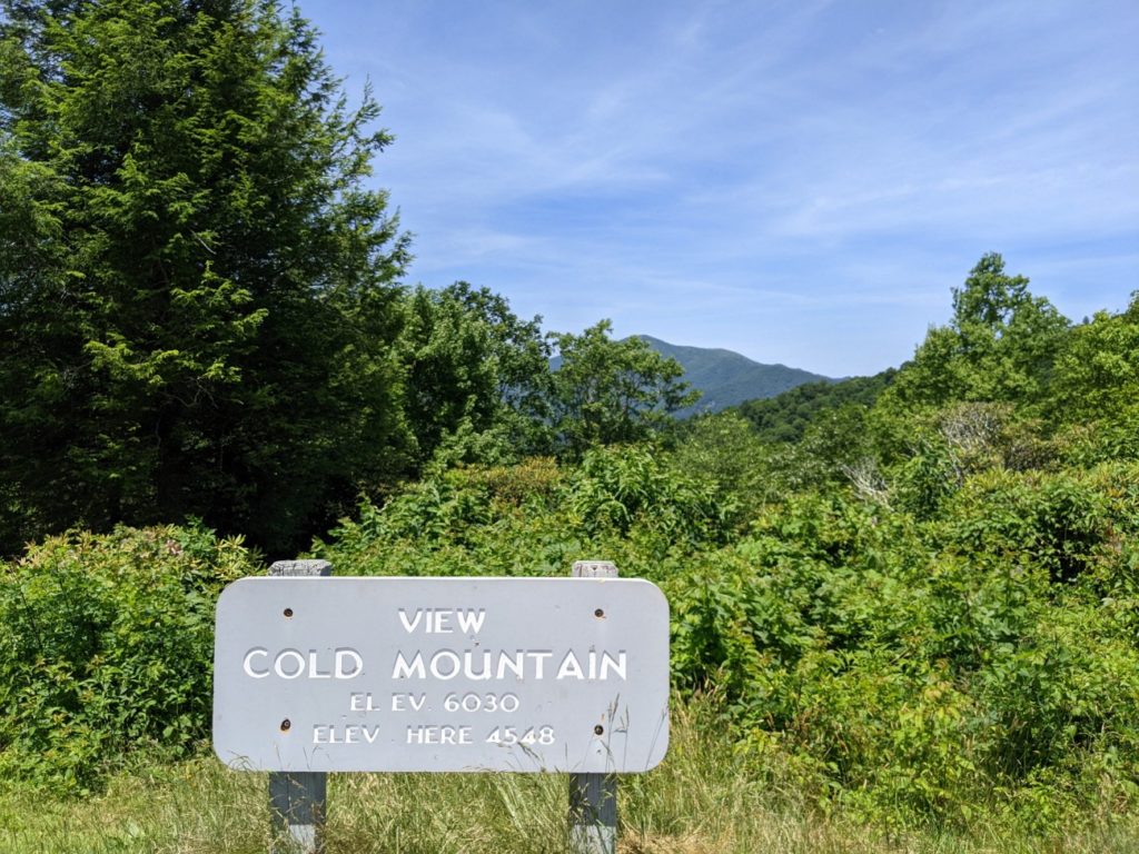
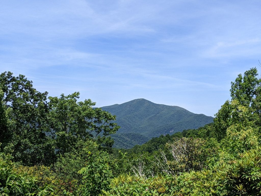
Cold Mountain
I stopped to take a picture of Cold Mountain because of the movie.
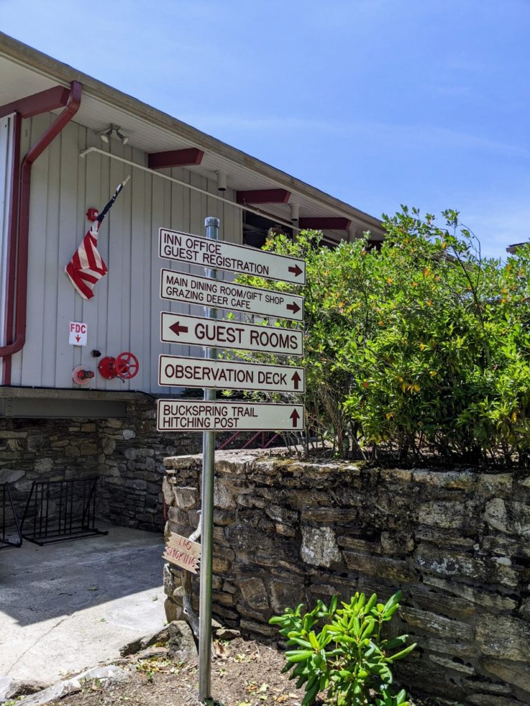
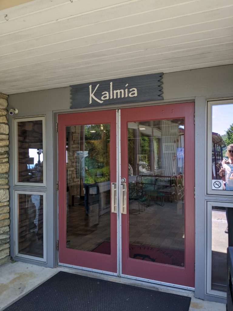
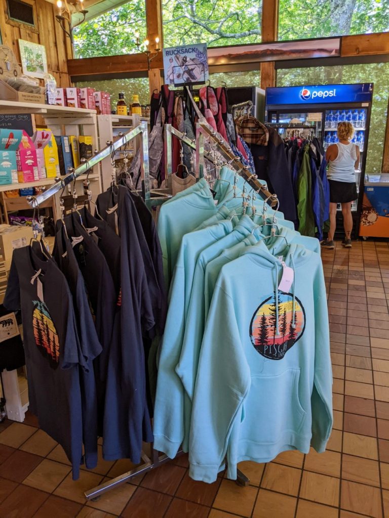
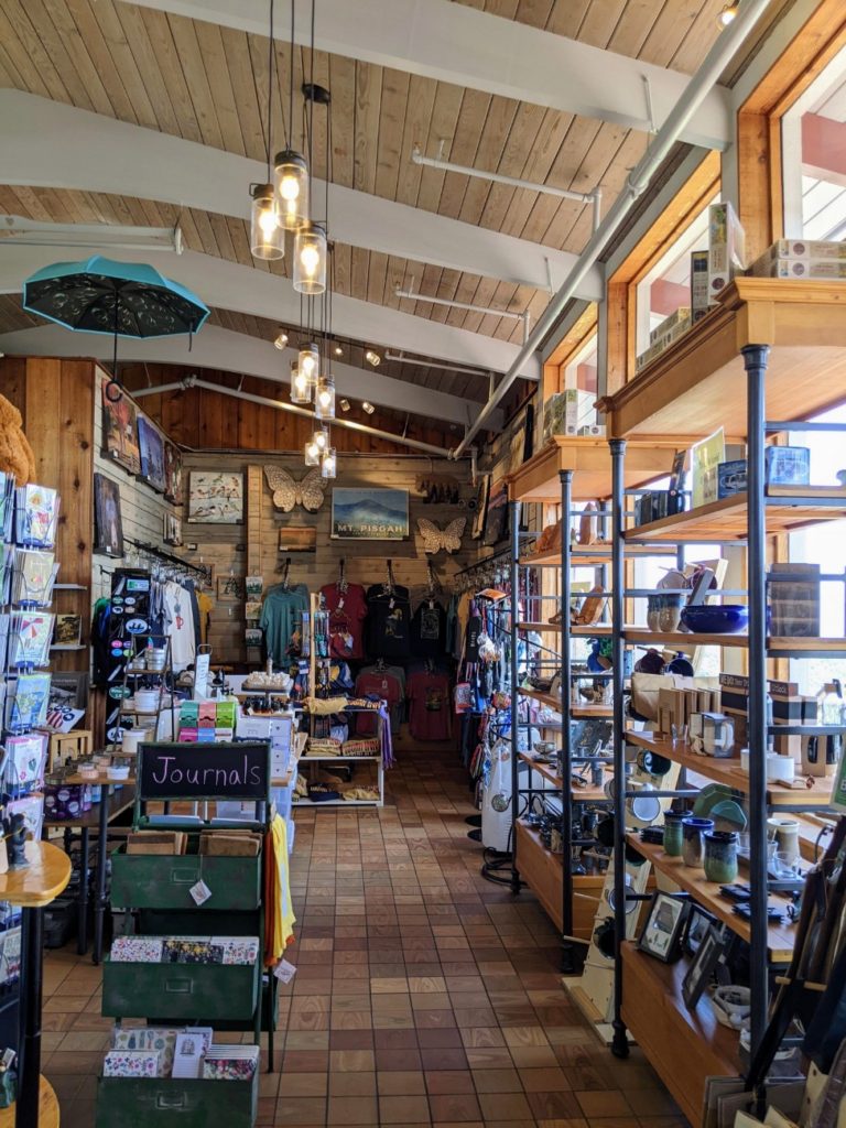
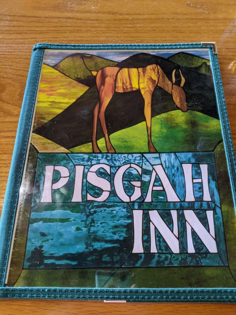
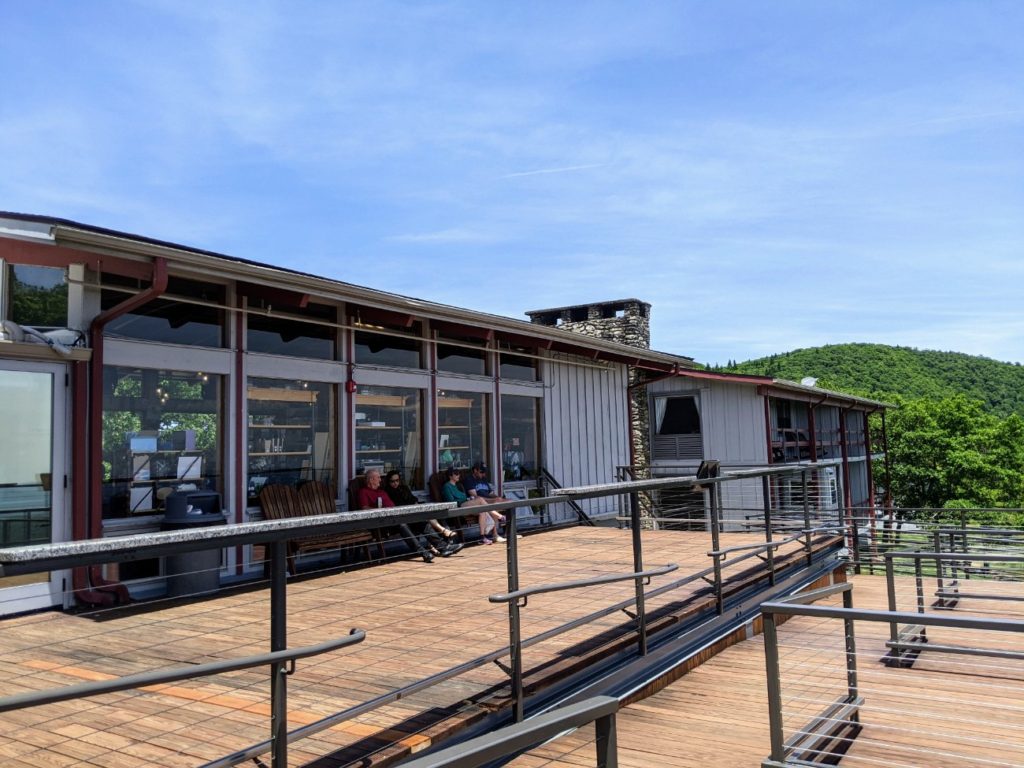
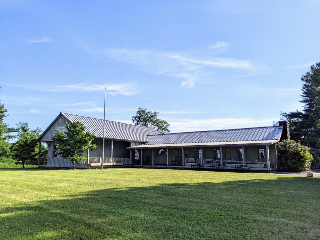
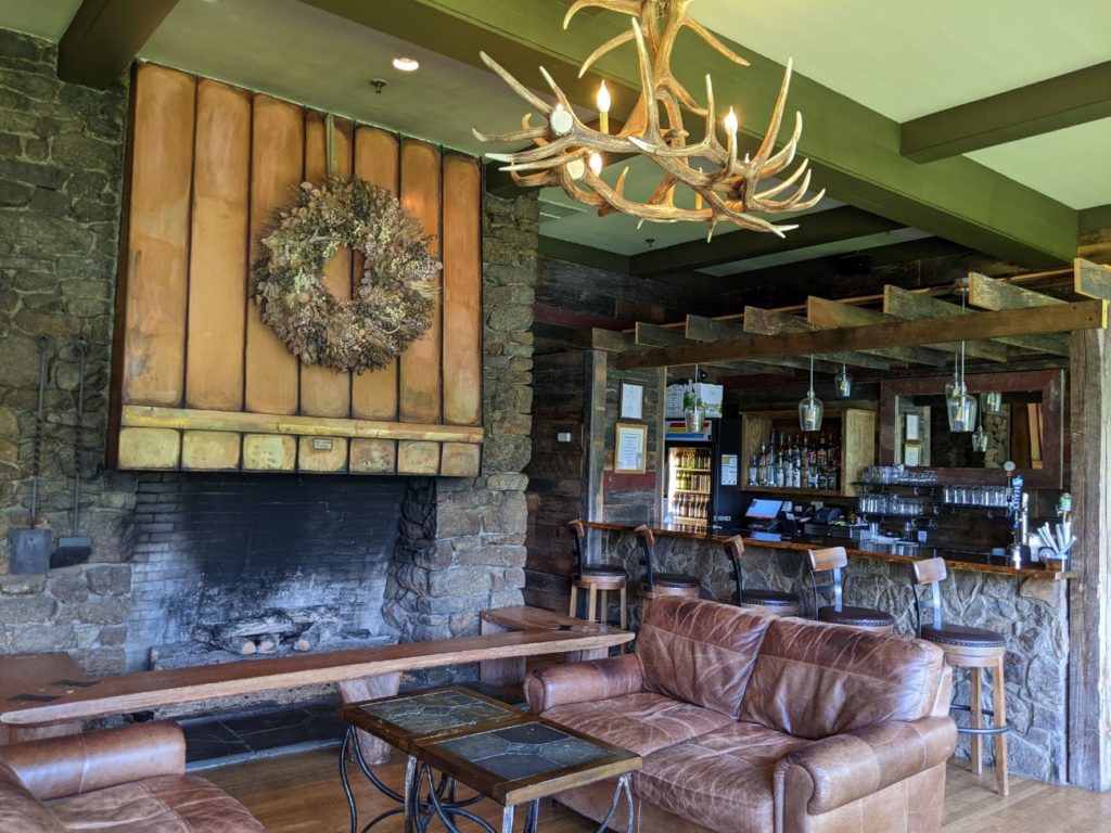
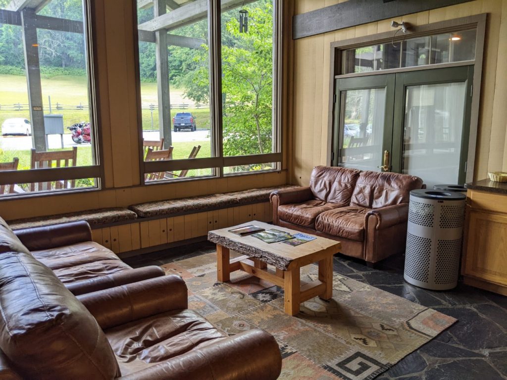
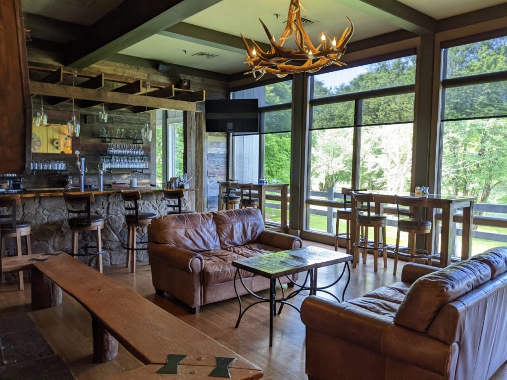
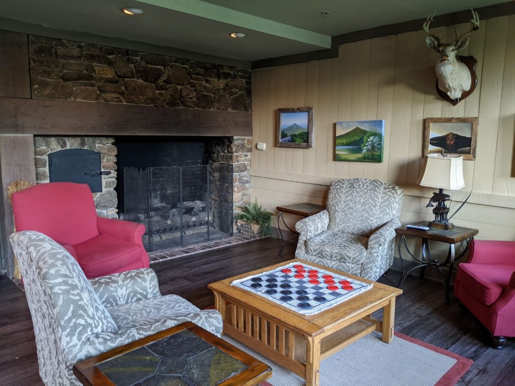
Pisgah Inn
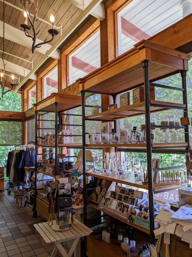
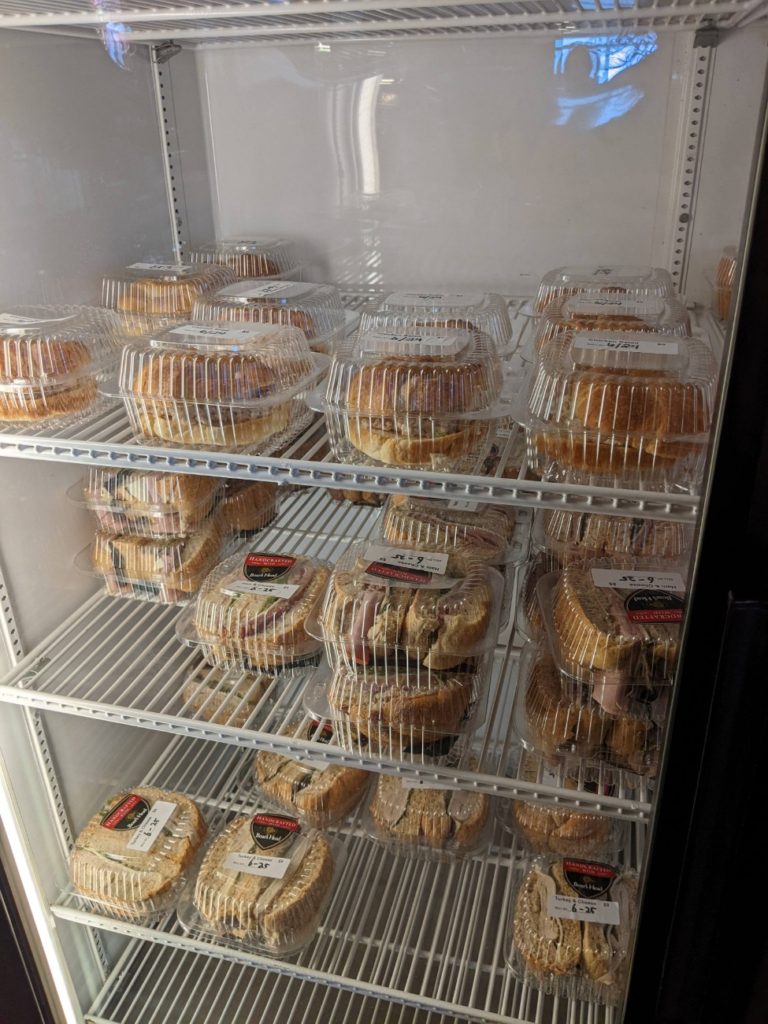
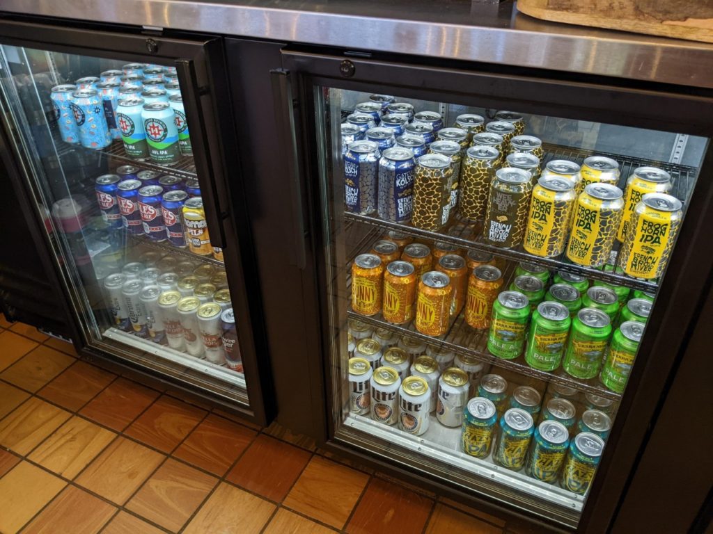
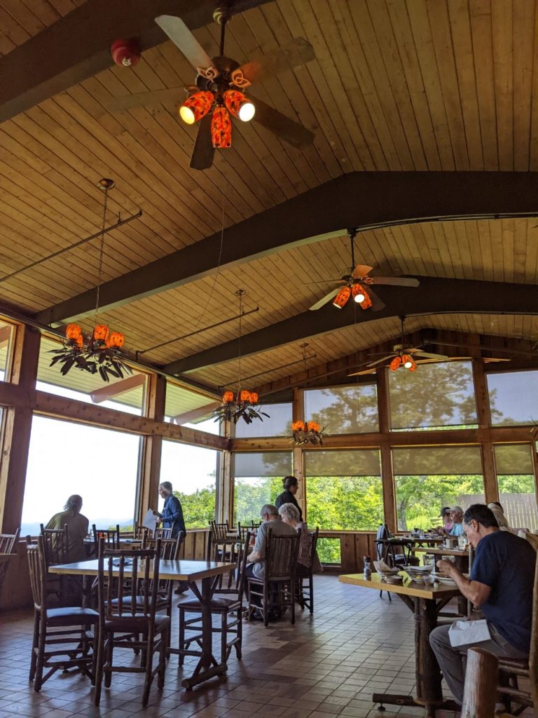
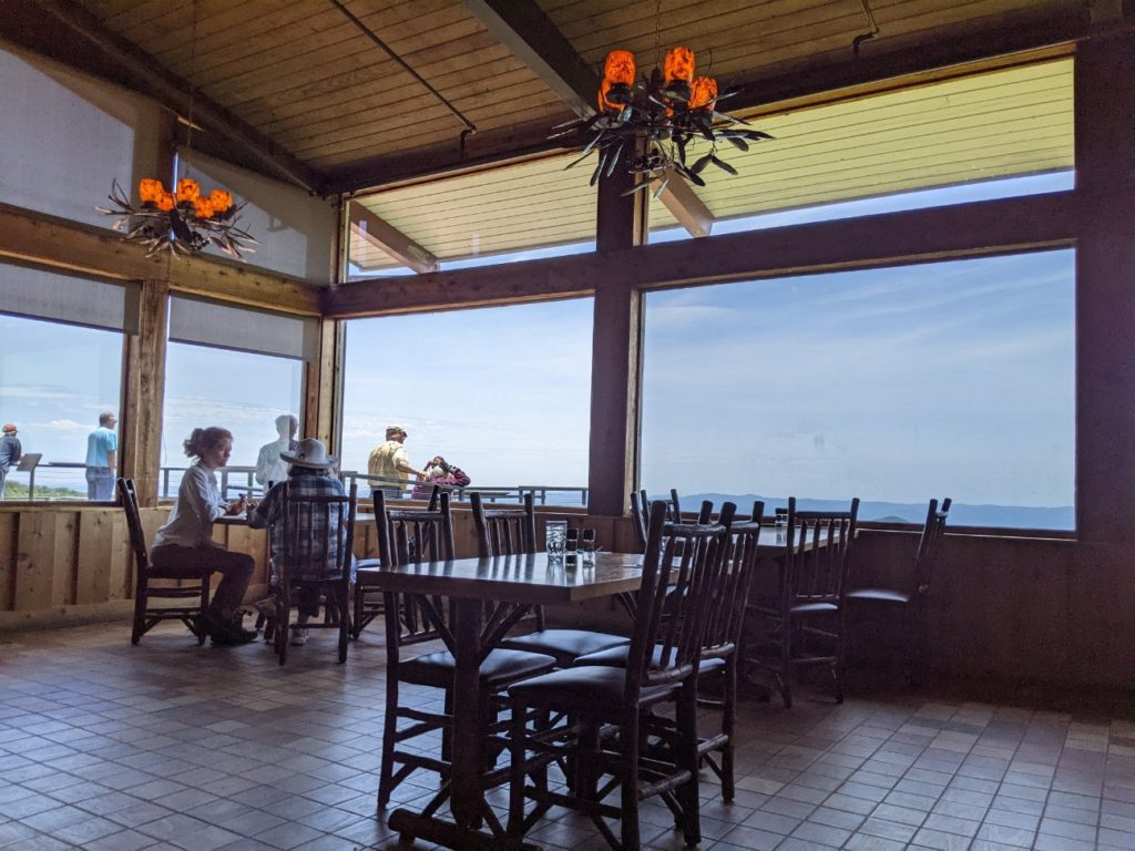
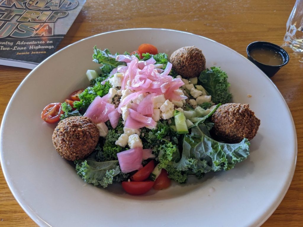
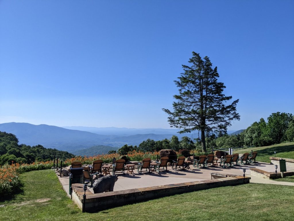
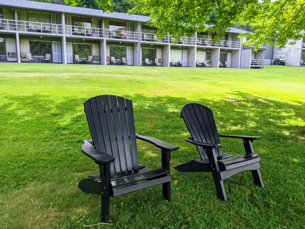
A major stop on the Blue Ridge Parkway is the Pisgah Inn, not too far south of Asheville. There are campgrounds, cabins, hotel rooms, a large gift shop, restrooms, a full-service restaurant, and grab-and-go sandwiches and snacks. It’s obviously a great stop for lunch, even just to grab something to take with you.
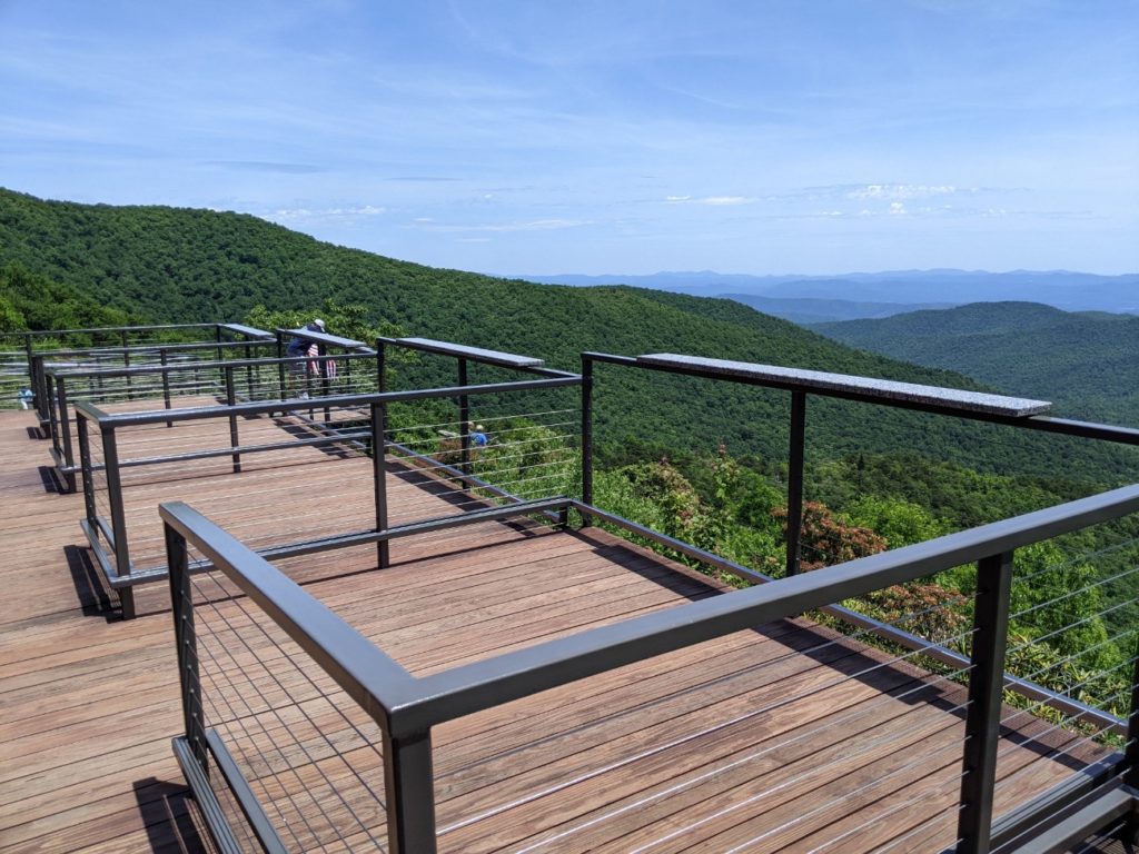
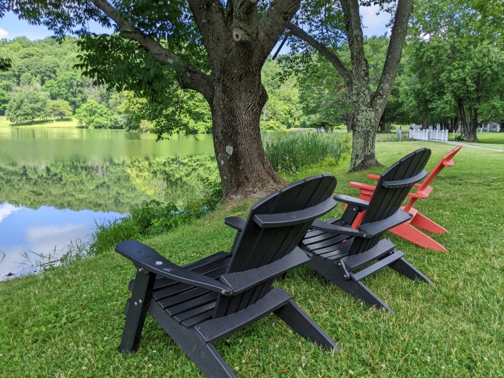
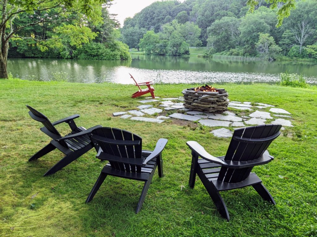
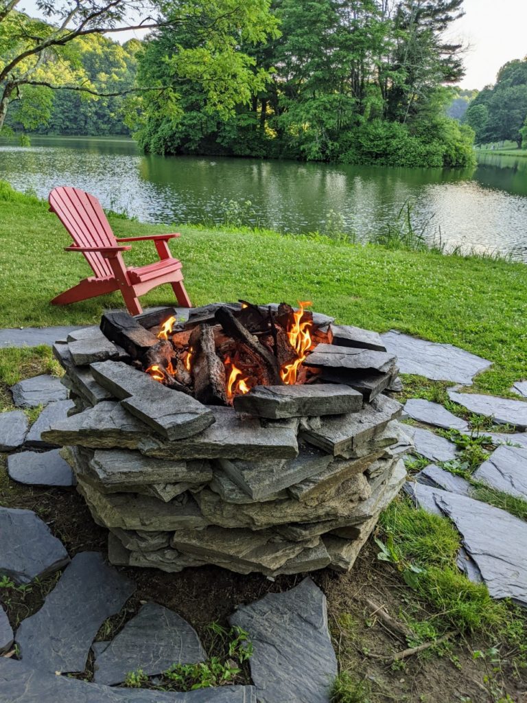
The views along the back of the Inn are stunning, and there are Adirondack chairs and viewing platforms (with drink-height ledges) perfect for taking in the scene. Several trails branch out from the Inn and campground as well. The greater Mt. Pisgah area used to be part of the Vanderbilt estate, along with the Biltmore.
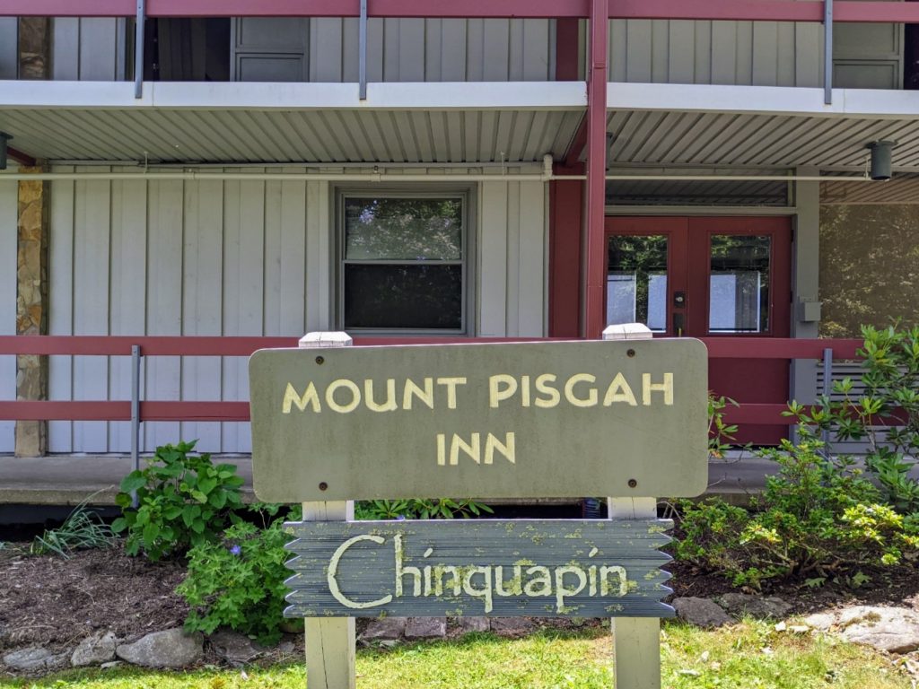

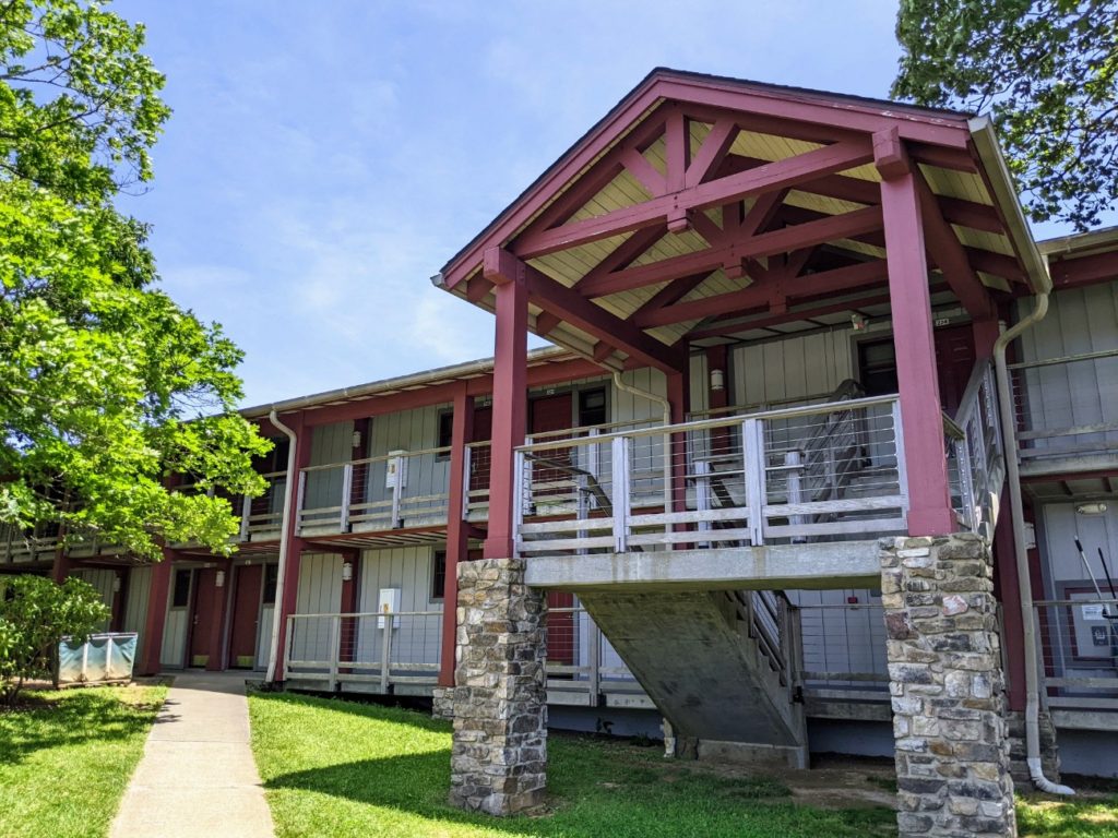


If you want to stay at the Pisgah Inn yourself, room rates are around the $200/night mark and expect holidays to be more expensive. And it tends to stay booked up, so make your reservations well in advance. The Inn is open from April-October.
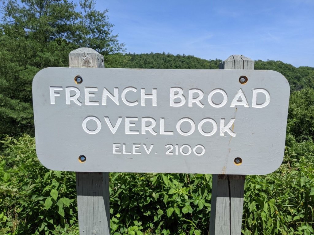
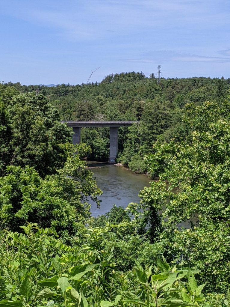
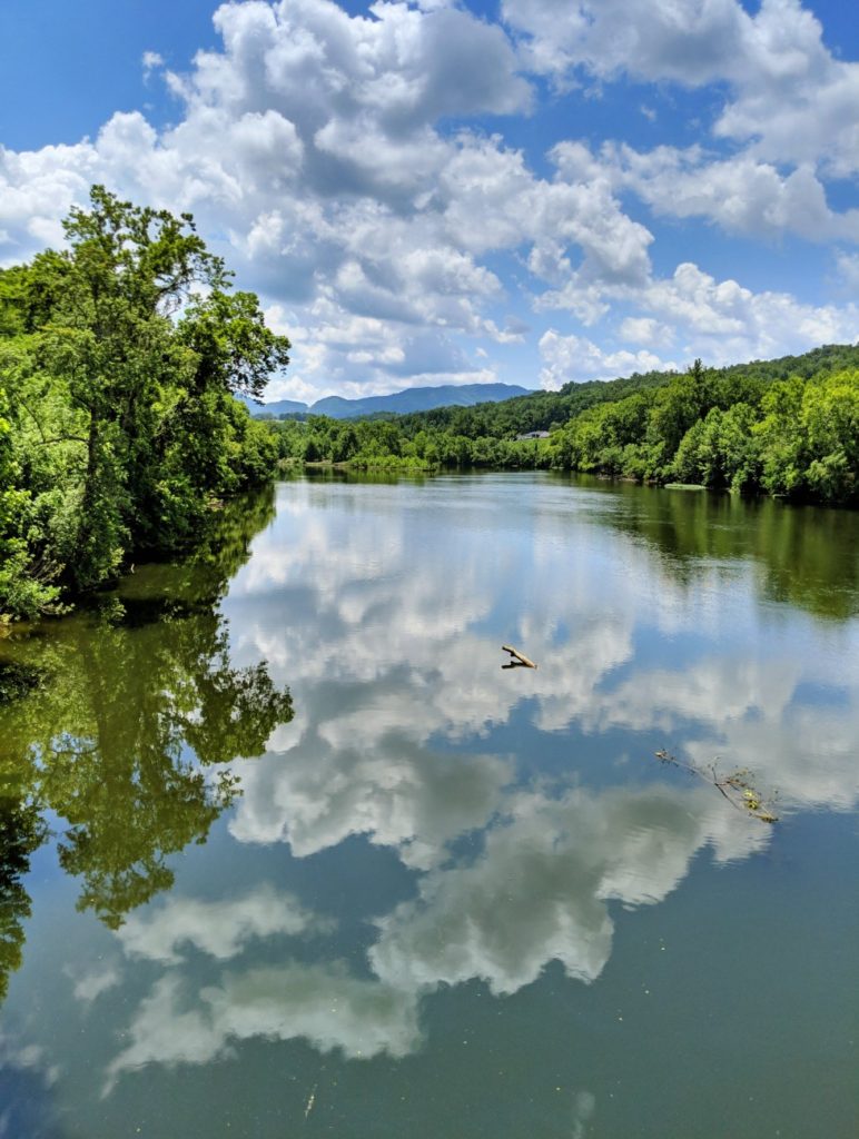
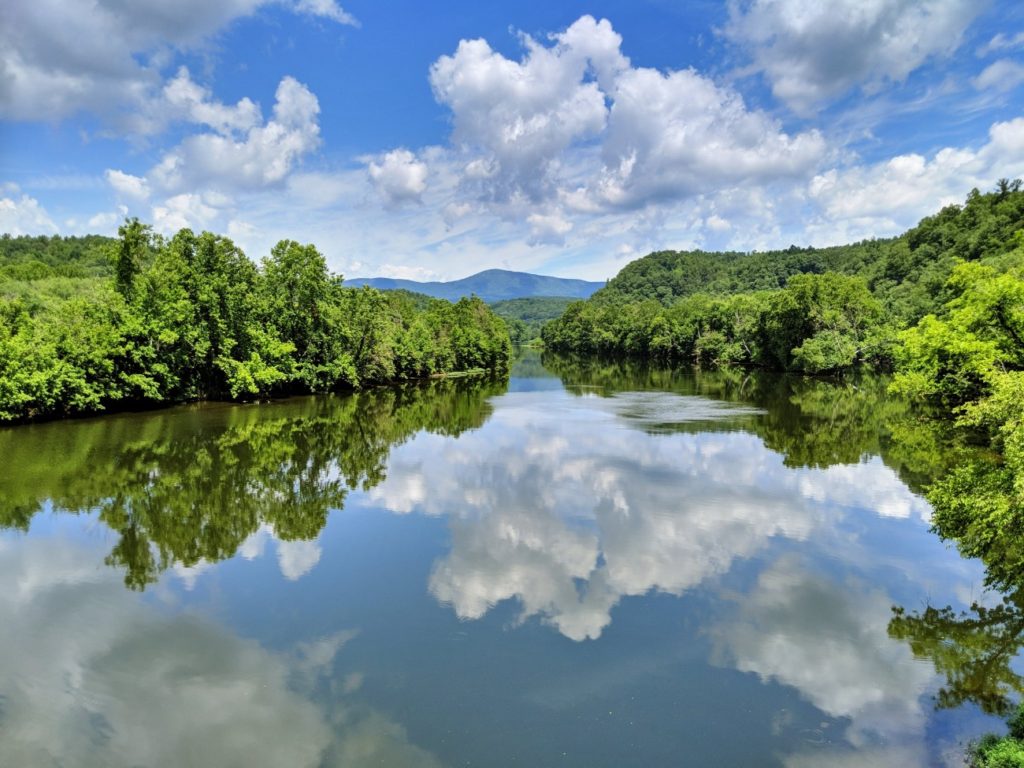
French Broad Overlook
Somewhere around the Asheville area, you get an overlook and bridge over the French Broad River.
North Carolina Arboretum
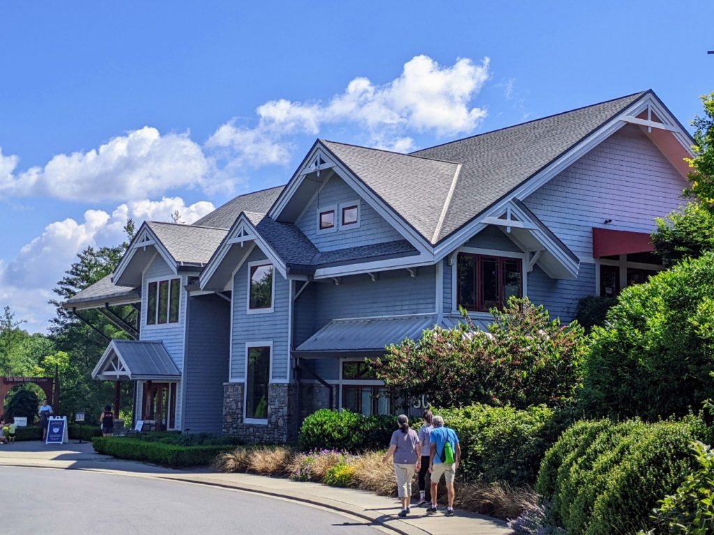
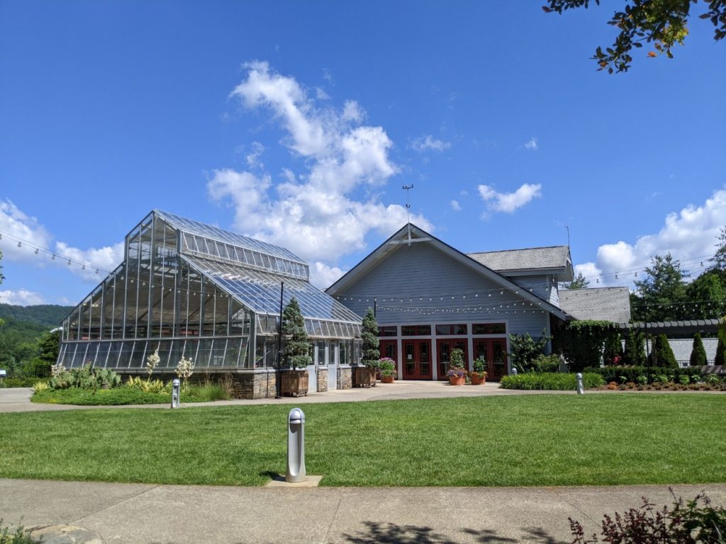
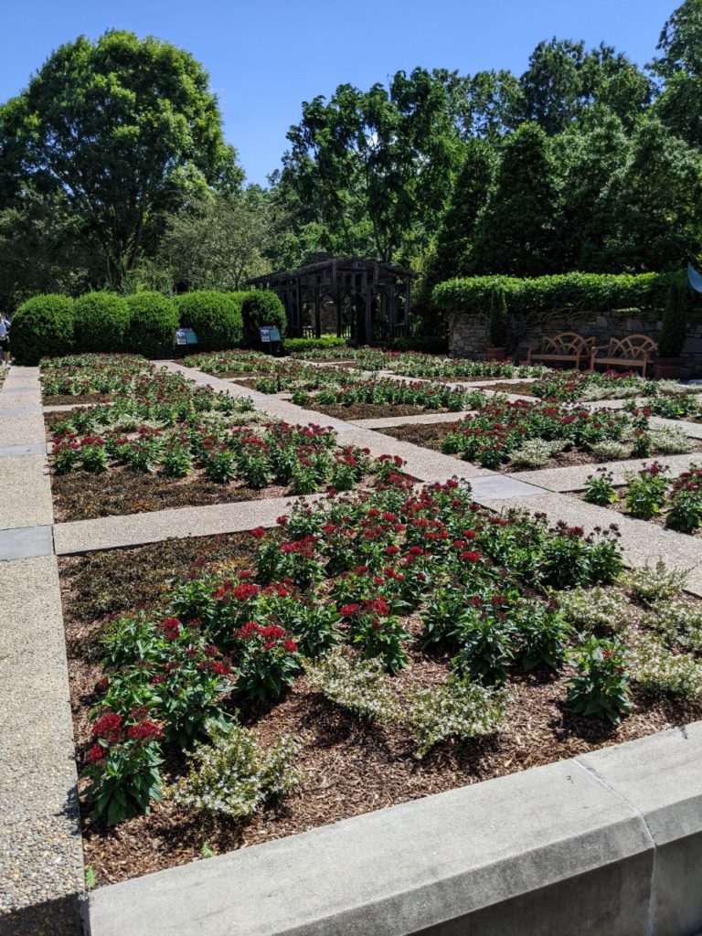
Getting into Asheville proper, you come across the entrance to the North Carolina Arboretum. The Arboretum has 65 acres of cultivated gardens including a walled bonsai garden, and over 10 miles of walking and biking trails among natural rhododendron bushes and along a creek. The education center has bathrooms and a garden shop, and nearby is a bistro during lunch hours. I visited during my Asheville stay, so I didn’t stop during my parkway drive.
If you want to visit (and I highly recommend it!) it costs $16+ per car (more for RVs, etc.) They are open later, so it’s worth visiting in the evening hours when other sights begin to close. Hours are 8 am-9 pm from April-October. They close at 7 pm the rest of the year and are closed on Christmas Day. Leashed dogs are welcome and plentiful.

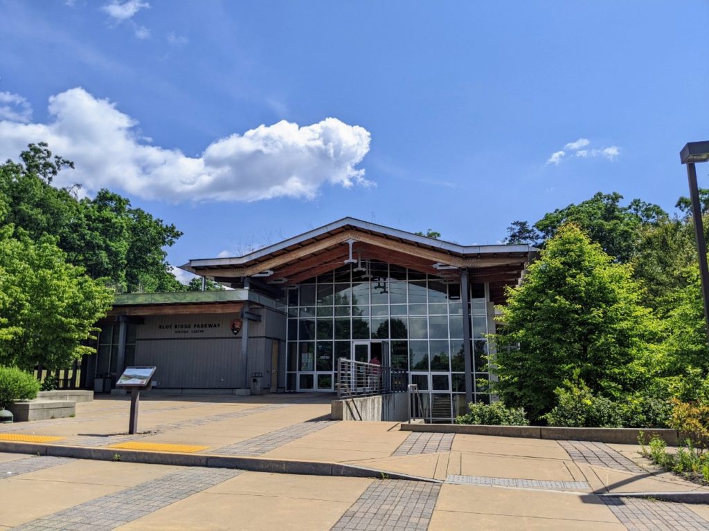
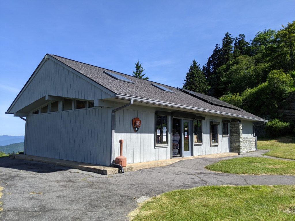
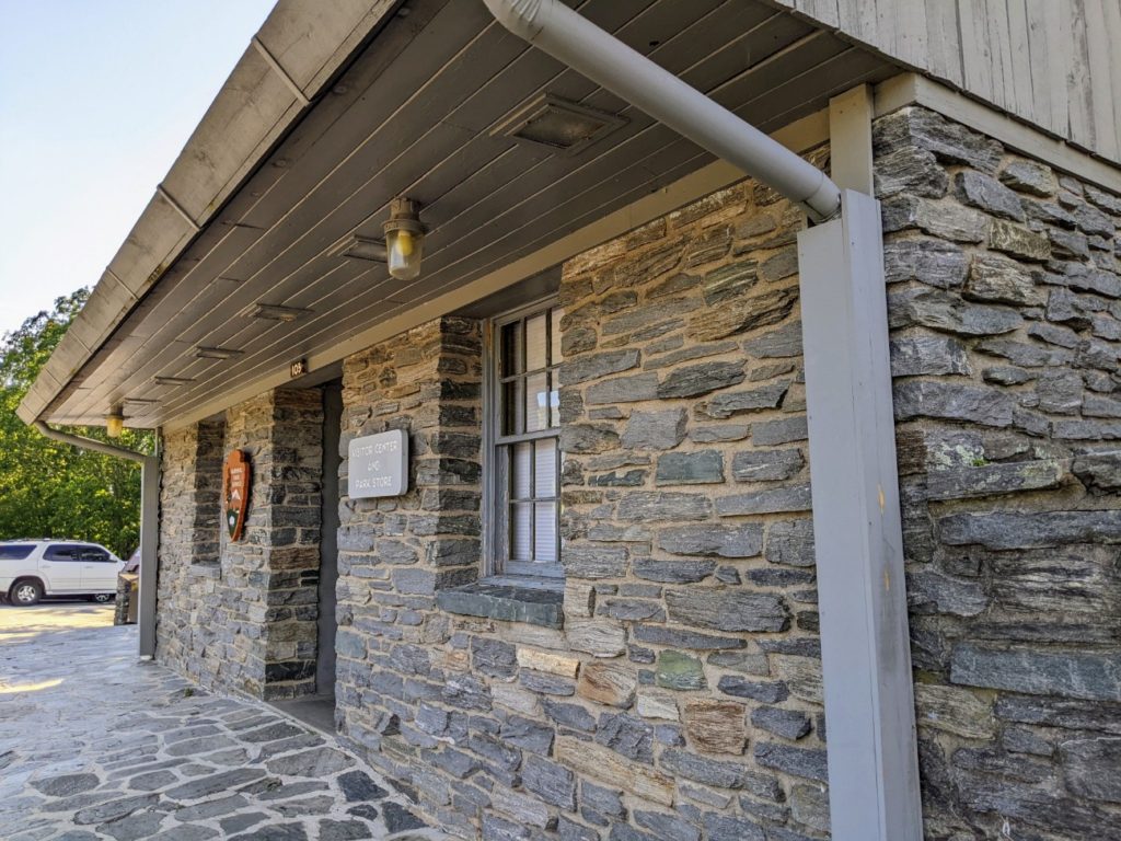
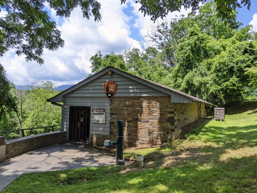
Blue Ridge Parkway Visitor Center
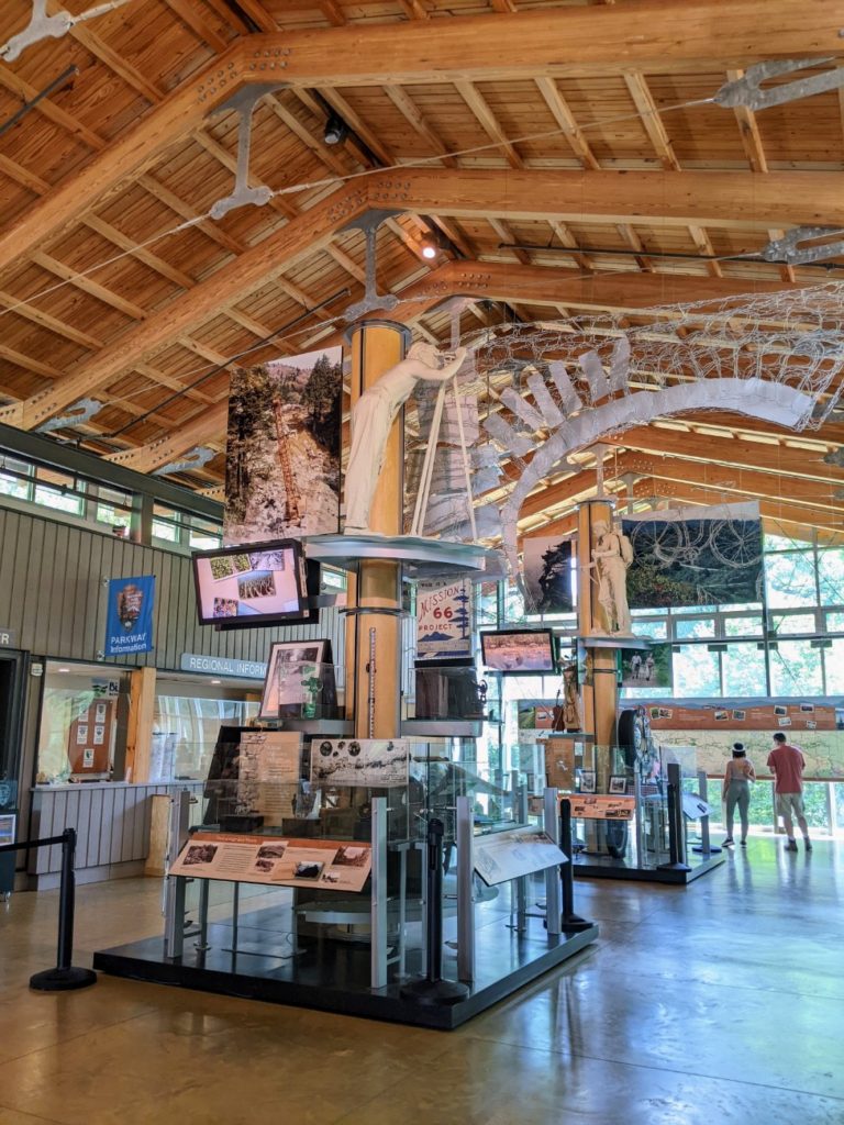
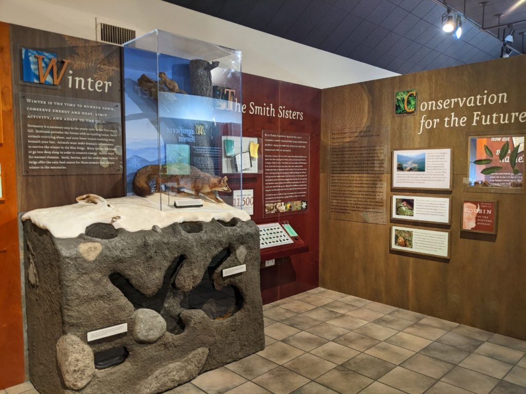
Heading north, the next point of interest is the Blue Ridge Parkway Visitor Center. (See more about it above.) This is THE visitor center for the parkway, with exhibits and info only on the parkway itself.
Besides exhibits and trip planning experts, there are bathrooms and a gift shop here. And usually, you can view a National Parks film about the parkway, but it is currently closed, probably due to Covid.
Folk Art Center
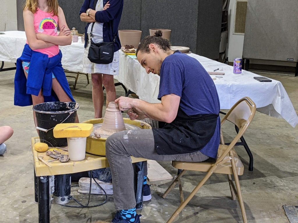
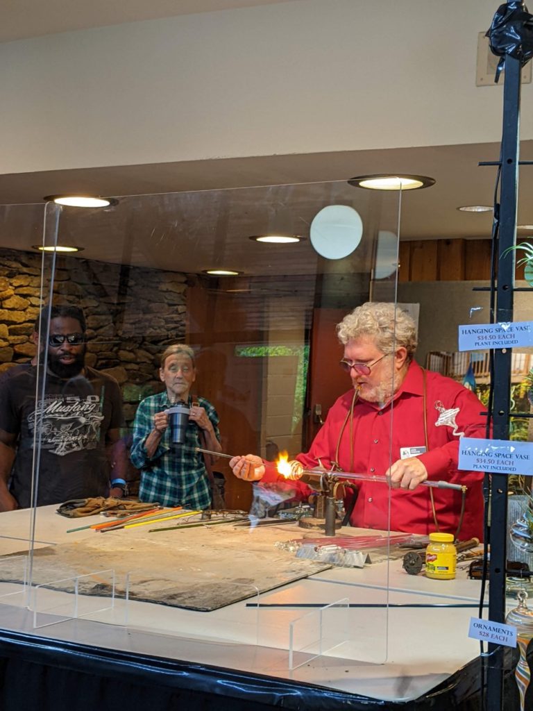
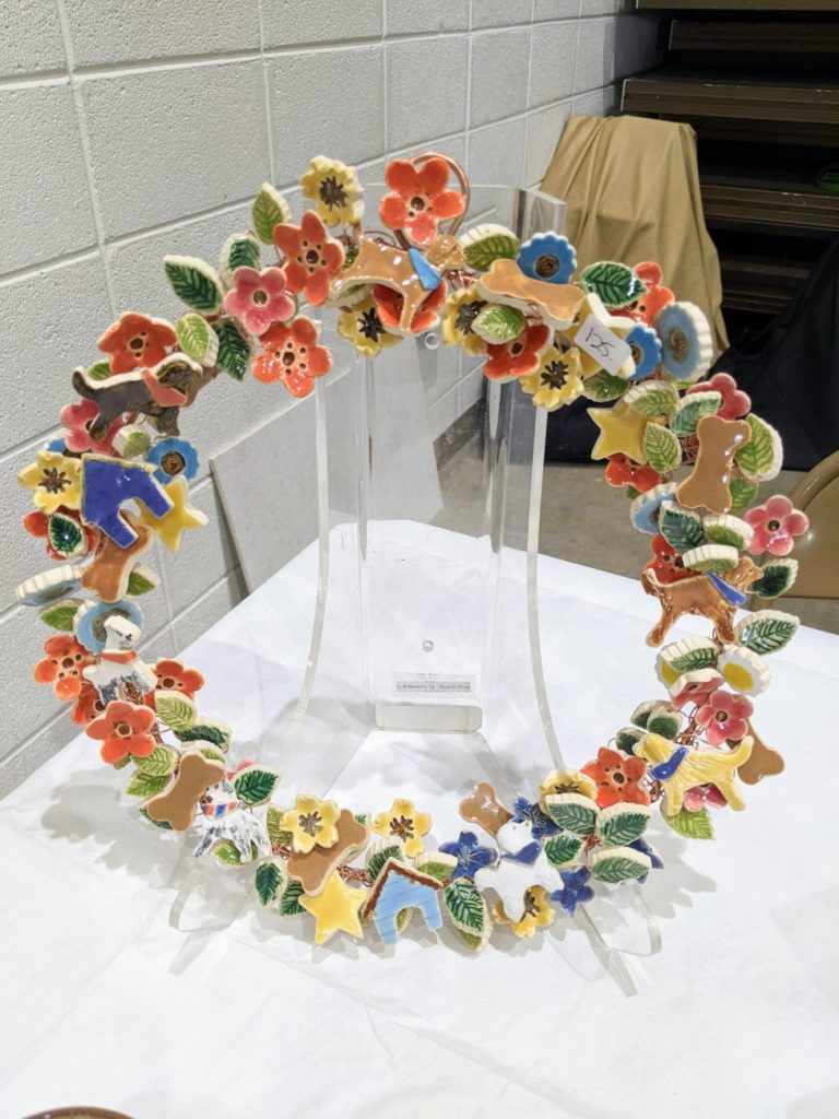
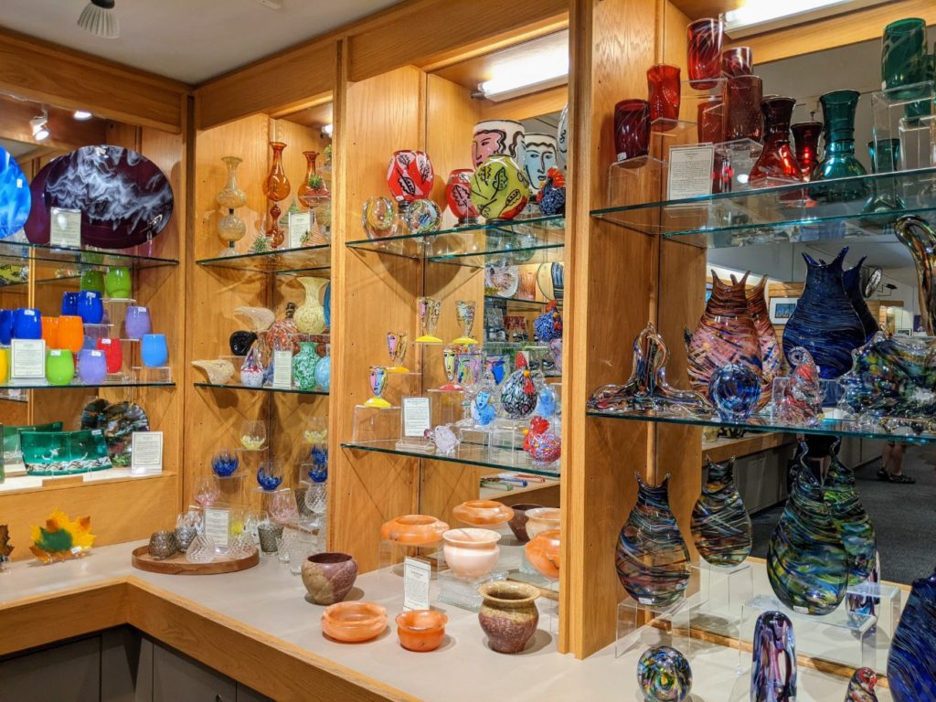
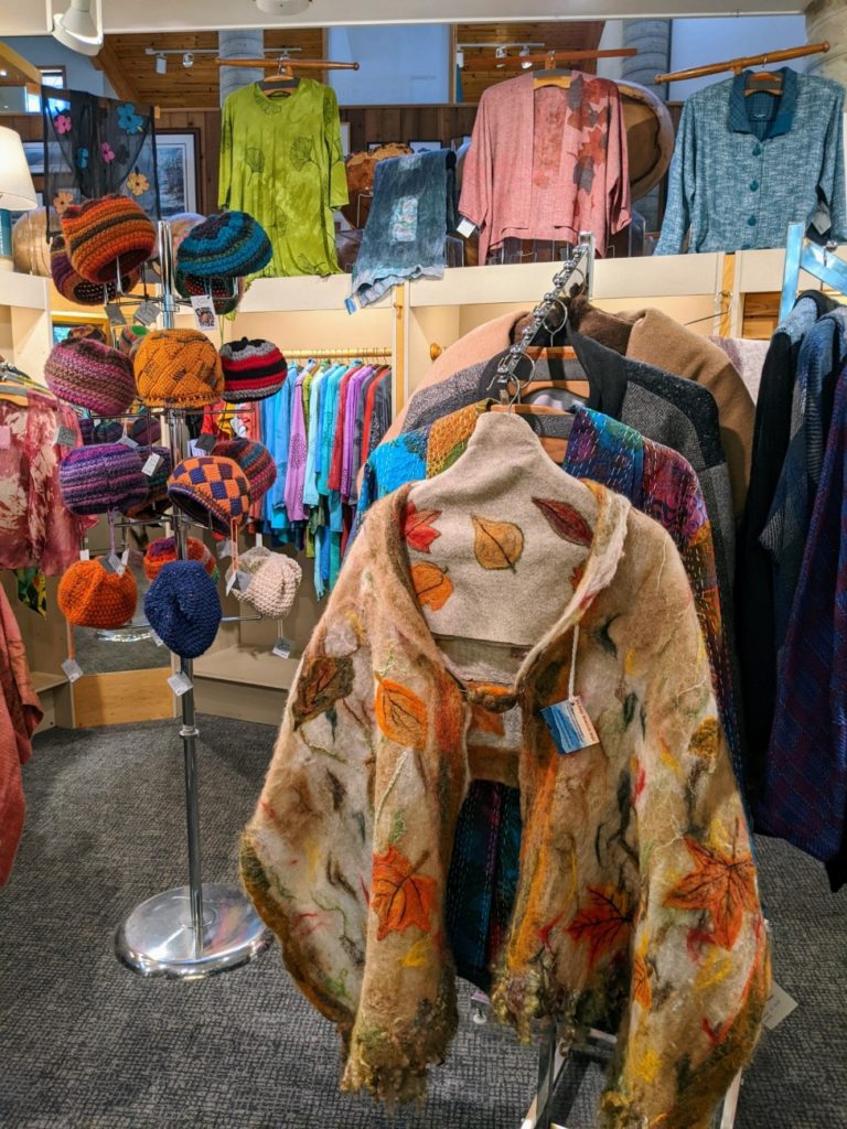
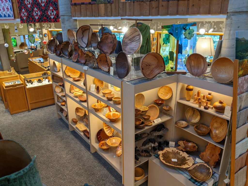
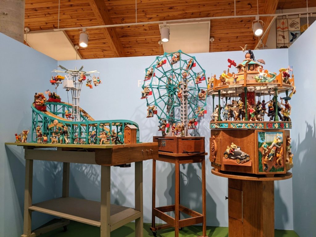
Close to the Visitor Center is the amazing Folk Art Center. I also visited this separately during my stay in Asheville and happened to visit on “Clay Day,” a day when pottery makers of all kinds (so many kinds!) showed off their wares and how they make them. Visit on a Saturday to increase your chances of a special event.
There was also a glass blower during my Saturday visit, which was fun. Otherwise, there is a huge store on the bottom floor and an exhibit space on the second floor (accessible by a ramp) with historical pieces and finer art examples, some of which you can also buy. I was really taken with some whimsical carnival-like woodcarvings by self-taught artist Frank Caracci. (They look like they turn on and I would have loved to see them working!)
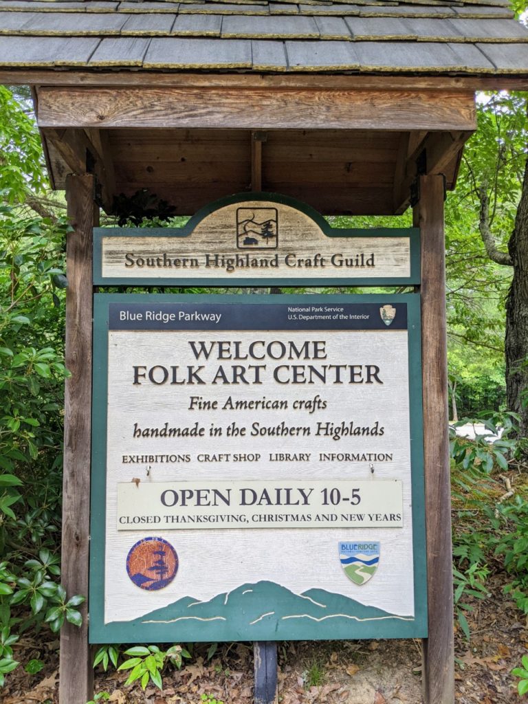
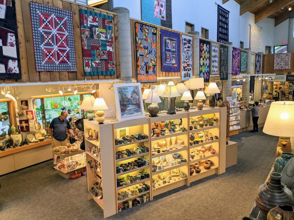

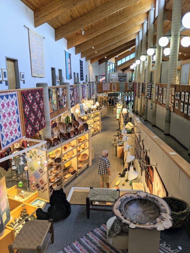
The Folk Art Center is open 10-5 daily, and closed Thanksgiving, Christmas, and New Year’s. And there are bathrooms inside and lots of parking.
Asheville – some general notes
If you spent your morning hiking, got lunch at the Pisgah Inn, and the afternoon at the Folk Art Center and the NC Arboretum, Asheville is a logical stop for dinner and a night’s stay. And if you extend your stay in Asheville a day, there is plenty to see! You can easily spend a day at the Biltmore Estate, visit the historic Grove Park Inn for a drink, meal, or spa treatment, or sip a local brew at one of Asheville’s 30 breweries.
Craggy Gardens
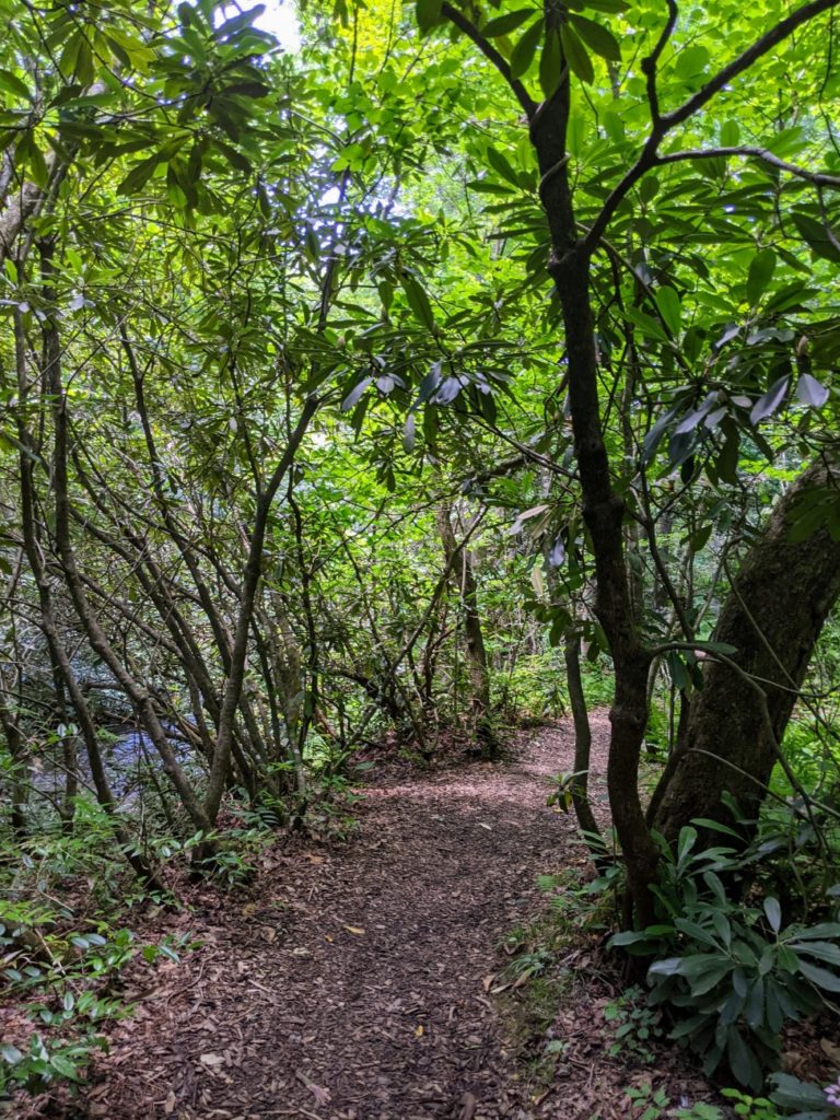
The Craggy Gardens area may be my favorite stretch of the entire Blue Ridge Parkway. This rugged, windswept ridge features wind-twisted trees, thick rhododendron, and a beautiful open heath at the end of the short Craggy Gardens Trail. There is a small visitor center with trail maps, though the bathrooms were out of order and replaced by port-a-potties at the end of the parking lot.
Another popular trail is the Craggy Pinnacle Trail, a half-mile climb to 360-degree views. Parking for that trail is farther north from the visitor center.

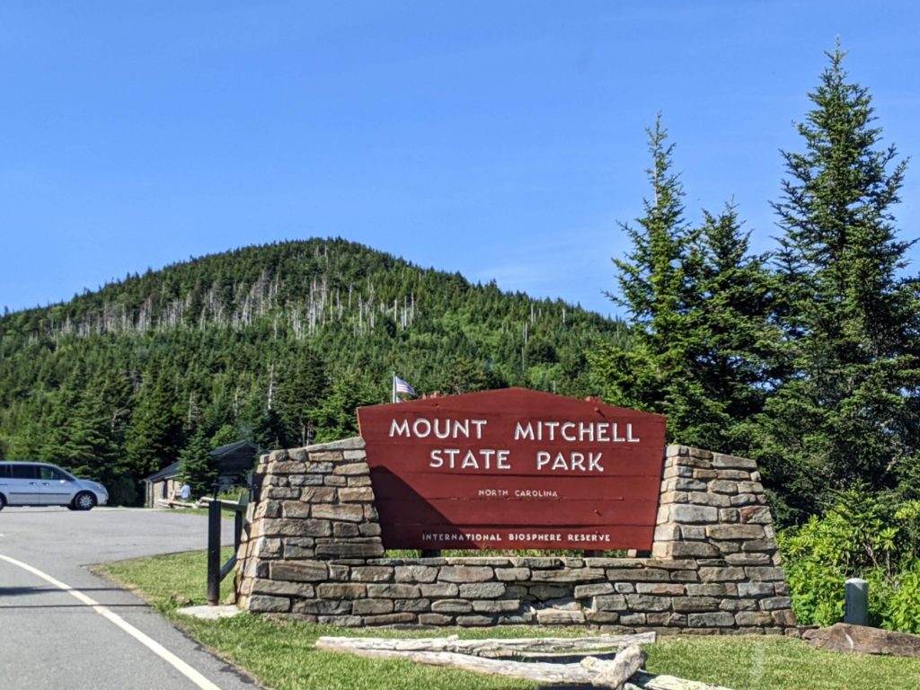
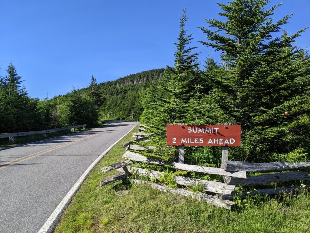
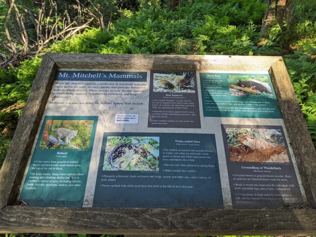
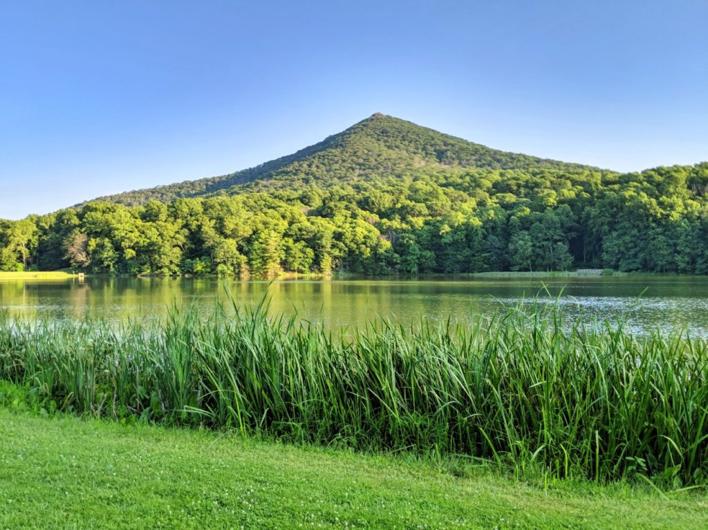
Mount Mitchell State Park
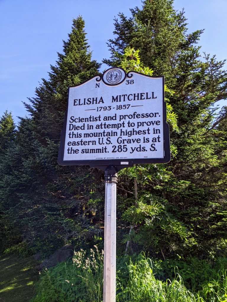
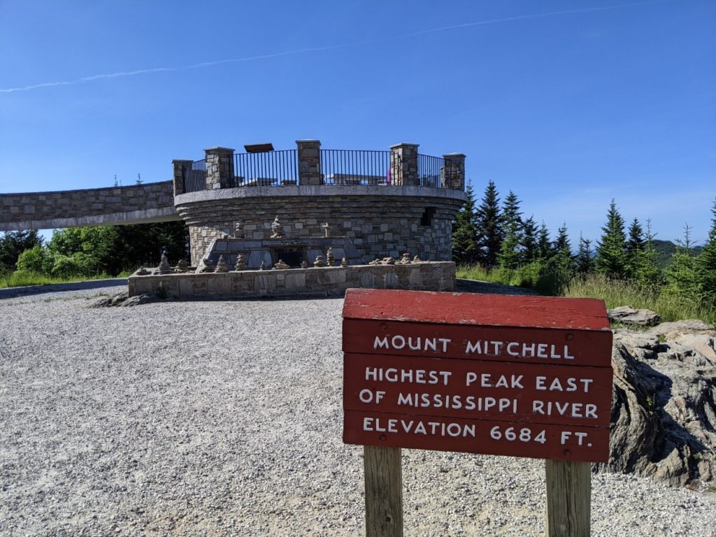
Mount Mitchell State Park is right on the Blue Ridge Parkway, is free to visit, and features the highest point east of the Mississippi! Poor Elisha Mitchell even died to prove it, and his grave is at the top!
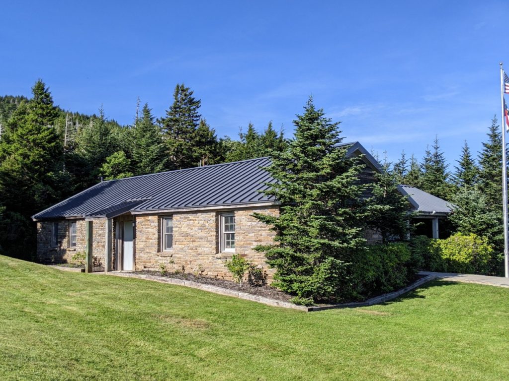
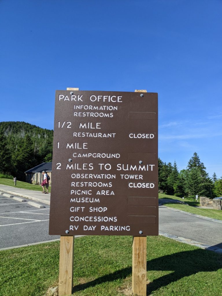
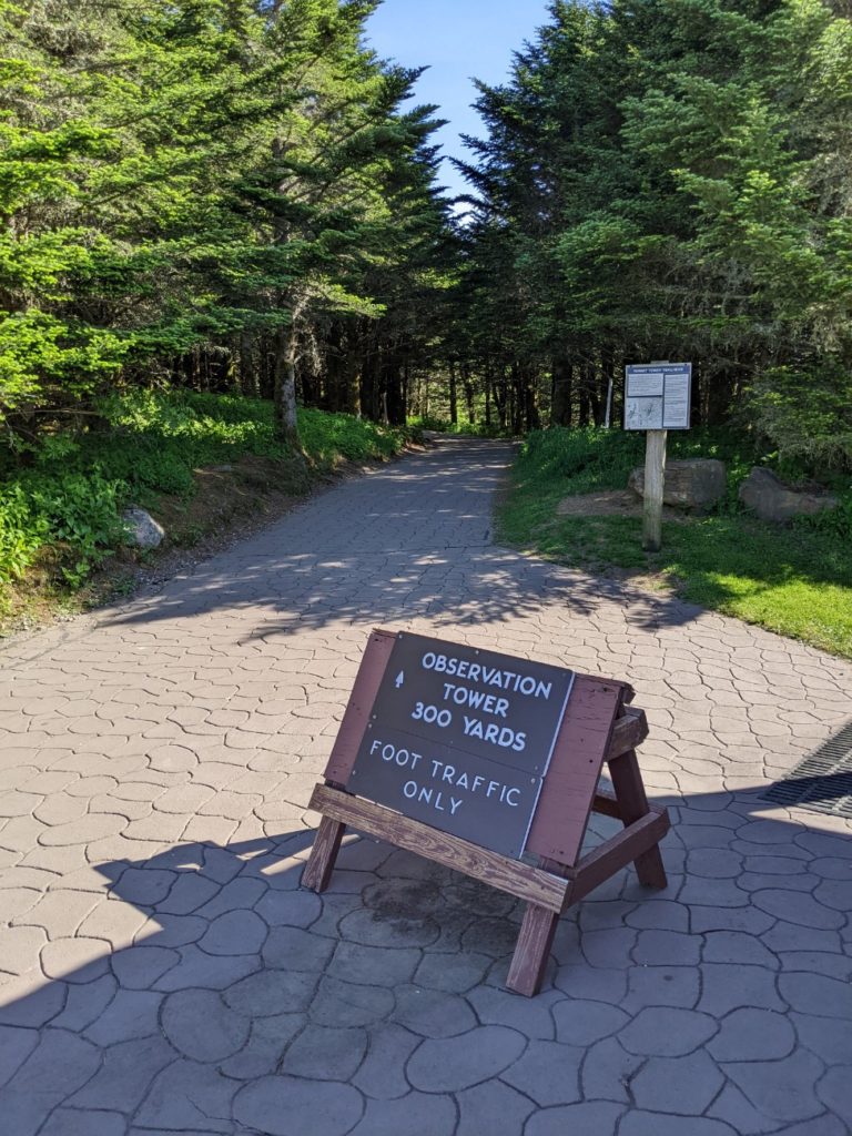
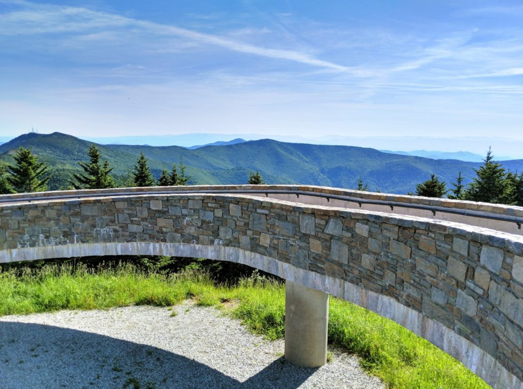
The nice thing about this pinnacle is that you can drive to it. A two-mile road leads past a ranger station, a restaurant, and campgrounds, to a large parking lot, leaving only 300 yards up a wide paved path to an observation tower (and Mitchell’s tomb.) The restaurant and all the buildings at the top (museum, store, concessions, bathrooms) were closed during my visit. Though the bathrooms at the park office were still open.
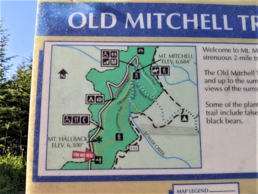
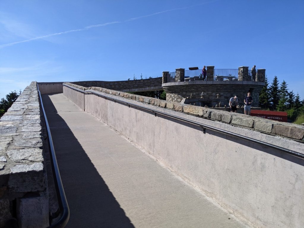


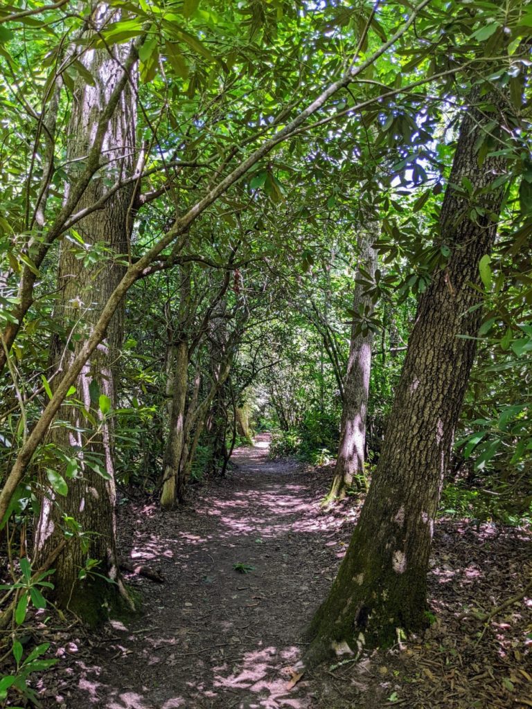
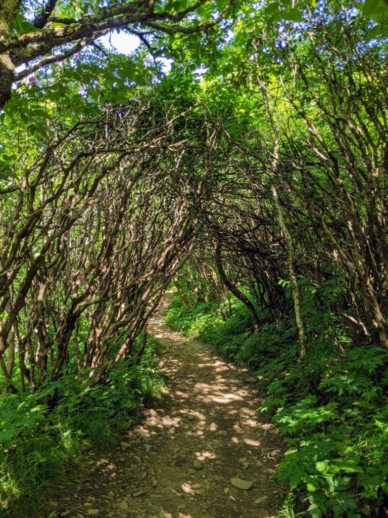
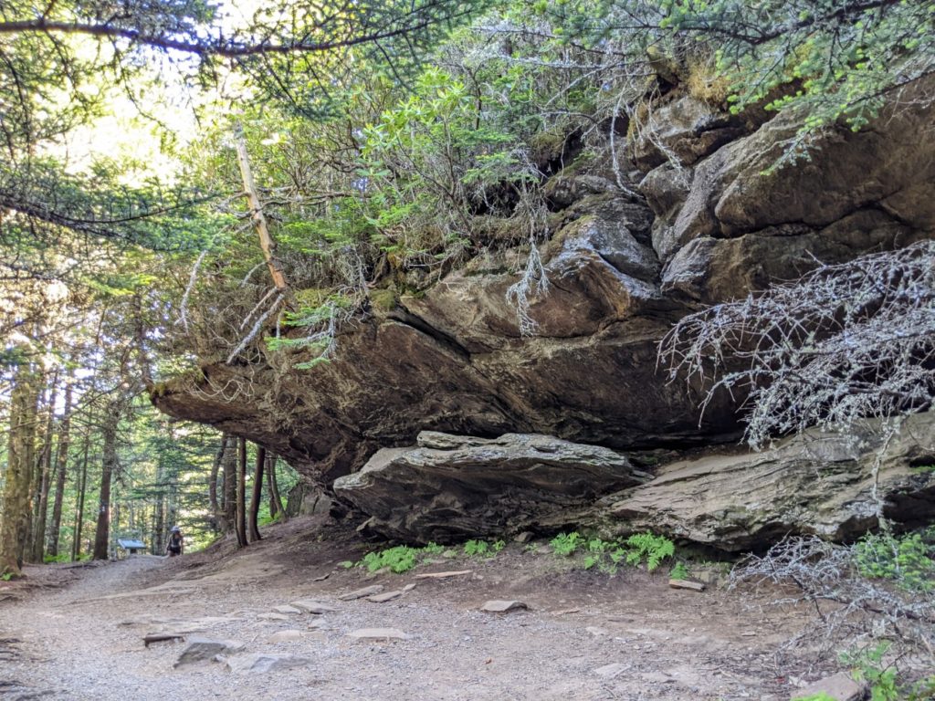
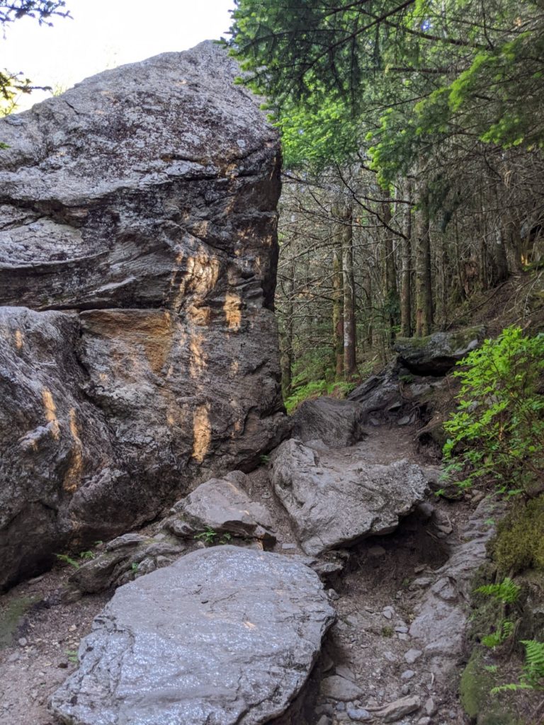
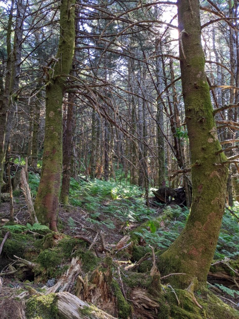
There are a few trails in Mount Mitchell State Park. After walking to the observation tower, I walked back down via the Balsam Nature Trail and enjoyed that very much. It’s thick, green woods, like something out of a fairy tale. And by taking it down, you avoid most of the at-altitude climbing. The trail curves and takes you right back to a lower section of the top parking lot.


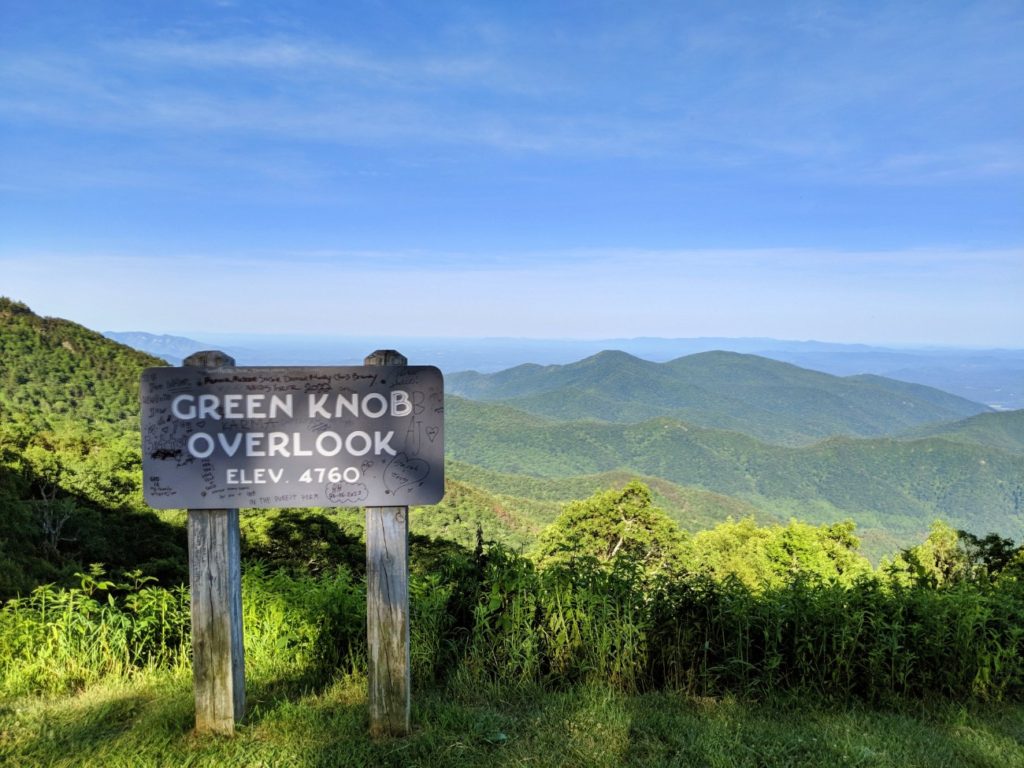
Green Knob Overlook
Besides the bigger stops, there are still overlooks frequently on the Blue Ridge Parkway.

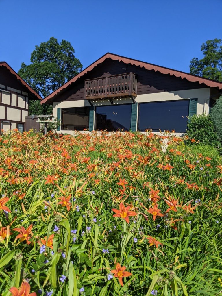
Honorable Mention – the Skyline Village Inn near Little Switzerland
Since I had already visited the Asheville-area stops and wanted to at least get farther than where I started, I ended up in Little Switzerland for the night at a one-of-a-kind place called the Skyline Village Inn. It’s right off the parkway and has covered parking for motorcycles, plug-ins for electric cars, and a killer breakfast. The place is hosted by a fun couple who serve snacks on the patio in the evening, bringing anyone staying in the 16 rooms out to socialize, if they want. I did, and it was so fun!
And when I say “snacks,” I mean cheese (nice cheese) and crackers turned into grilled chicken, steak, and shrimp, and even a couple of beers! By the time you make it to breakfast the next morning, you’ve made a few friends! I love travel surprises like this place. (And let me tell you, this dude can COOK. I mean it, he’s a professional chef!)

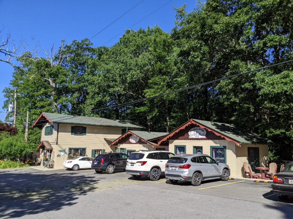
Little Switzerland
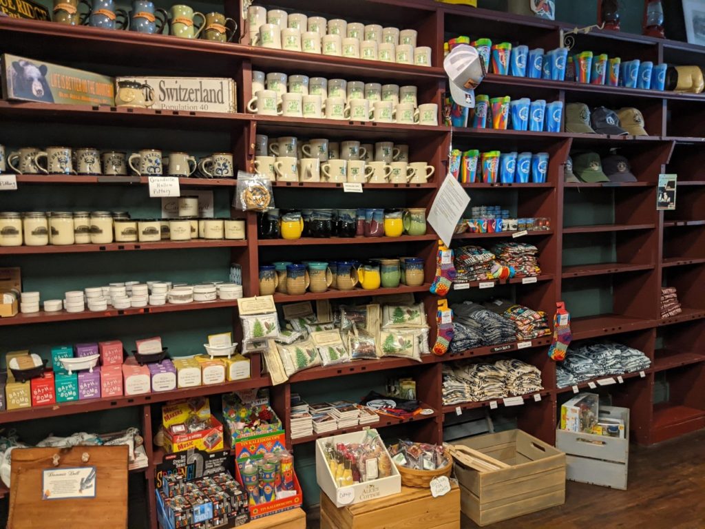
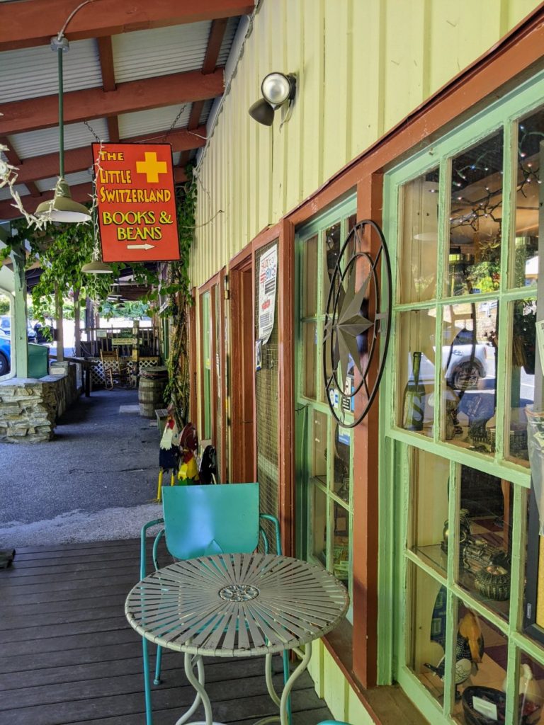
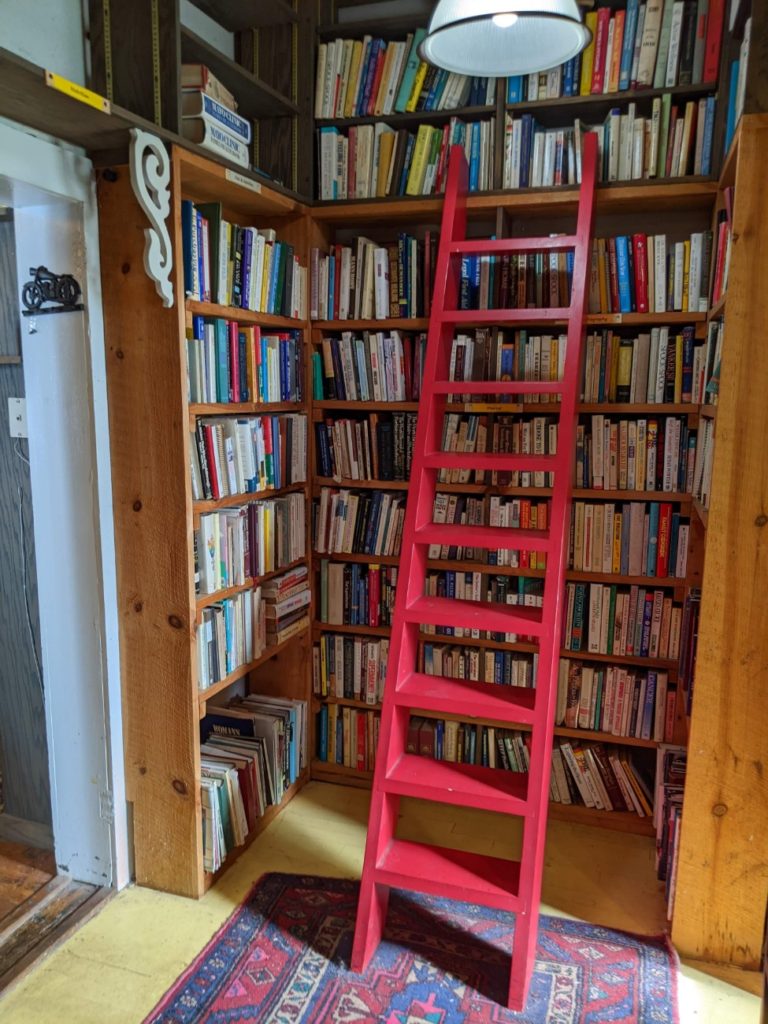
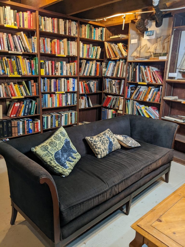
How can you not stop at a place called Little Switzerland? It is, indeed, very little and comprises one shopping/restaurant strip and a cluster of shops around the large Switzerland Inn. My favorite is the Little Switzerland Books & Beans, a combination coffee & book shop. And it’s all right next to the parkway.
If you started your day in Asheville and hiked around Craggy Gardens and Mount Mitchell State Park, Little Switzerland might make a good lunch spot. There’s the Switzerland Cafe or the general store for food in town, and the Switzerland Inn looks like it has a couple of higher-end restaurants. If it’s a mid-morning or late afternoon pick-me-up you’re after, the bookshop has coffee and pastries.


Museum of North Carolina Minerals
One of the more random stops on the Blue Ridge Parkway is the Museum of North Carolina Minerals. I thought I’d check it out because it’s free, and it turns out to be pretty fun! A simulated mine cave leads you back to the science of minerals and stories of old-time miners themselves. It’s all very hands-0n with knobs to turn and buttons to push – a great stop for kids.
There are also good bathrooms in here, a National Park information desk, and a small gift shop. Note that the museum is open from 10-5 daily.
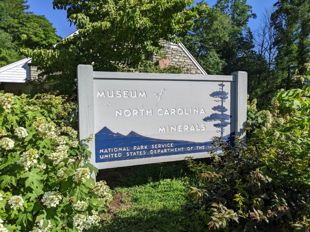
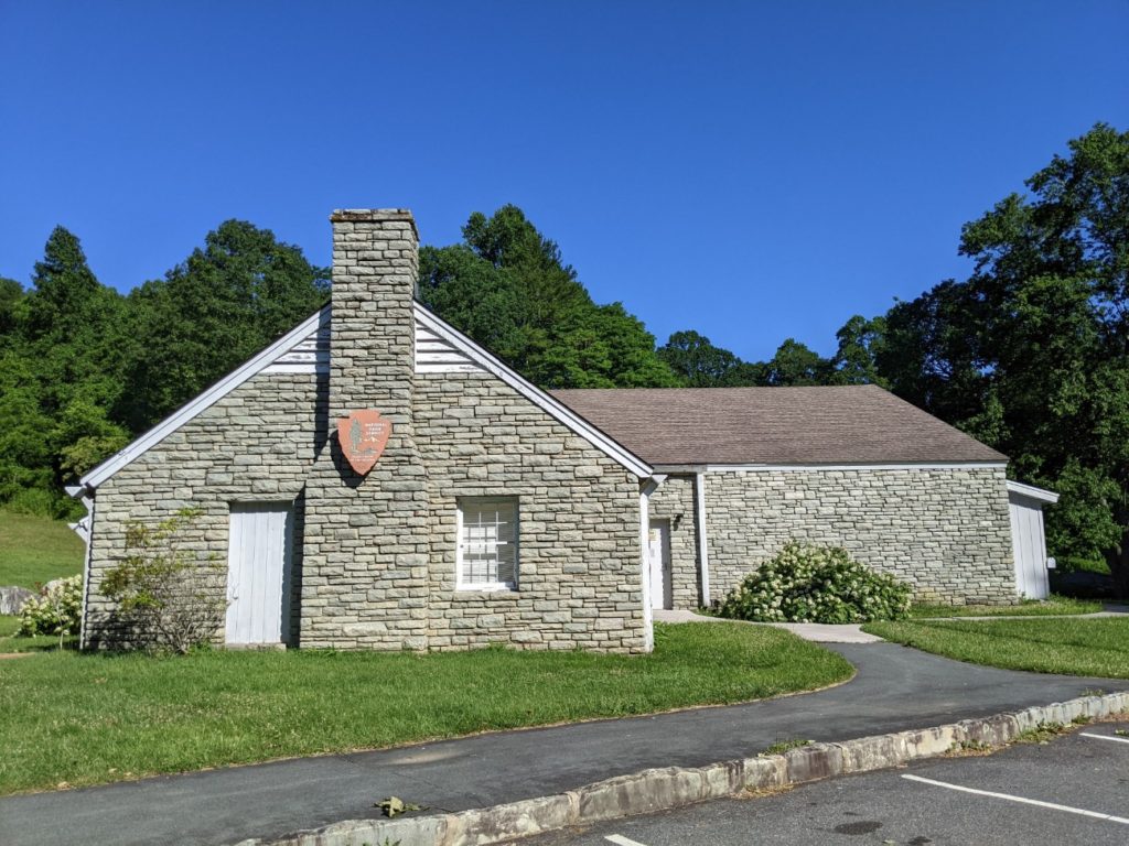
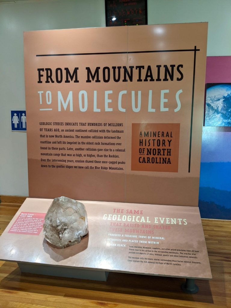
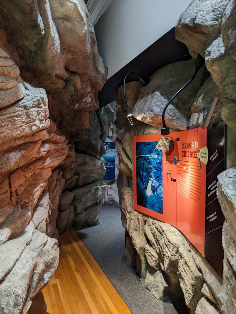
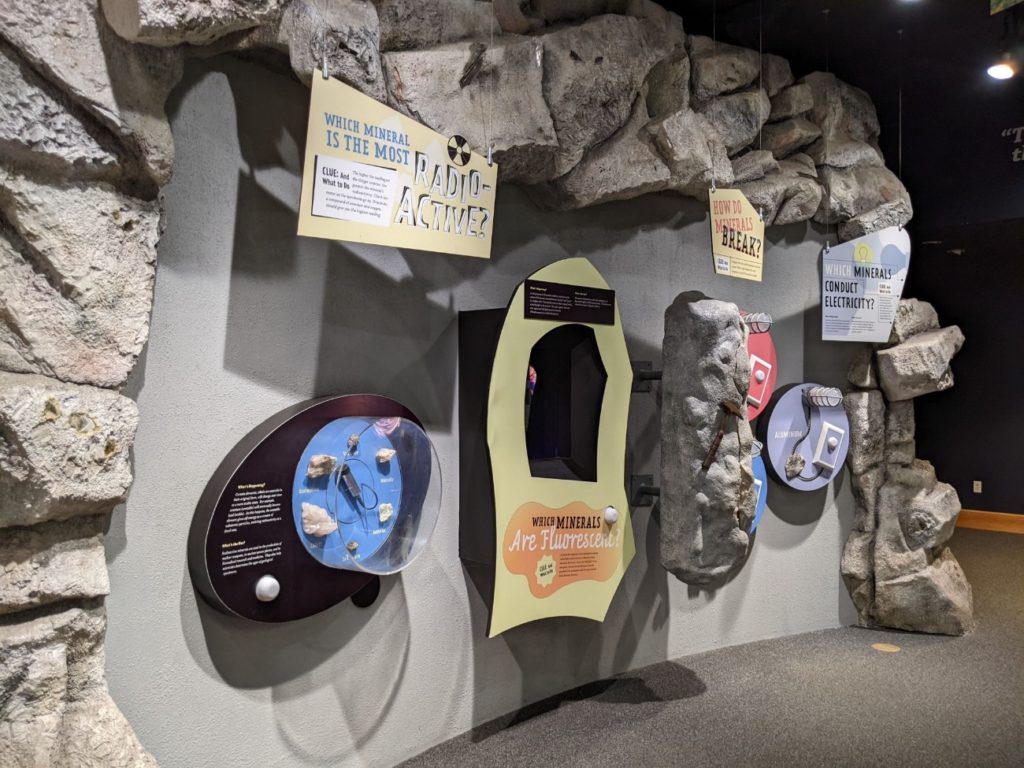
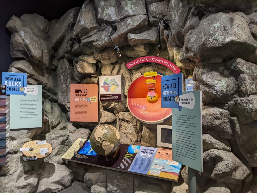
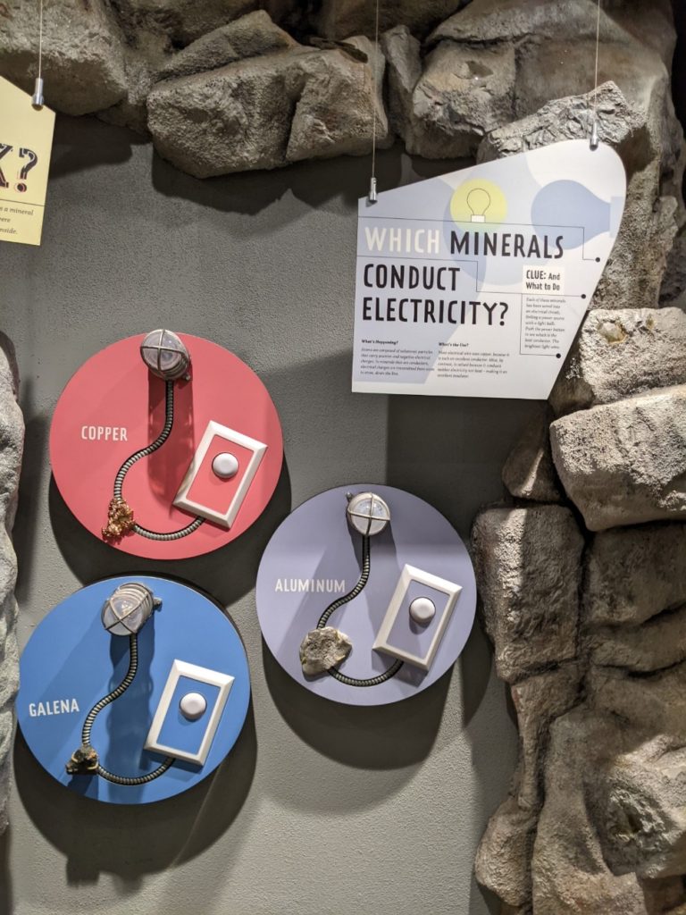
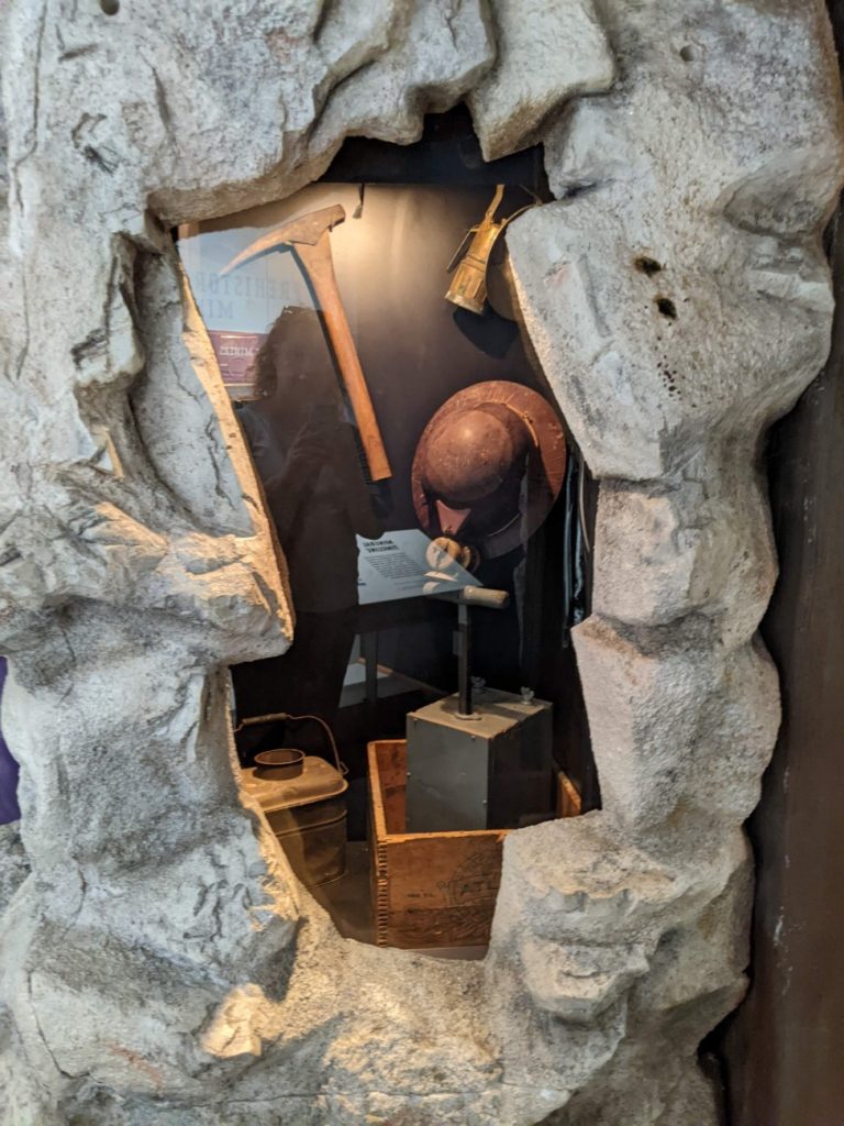
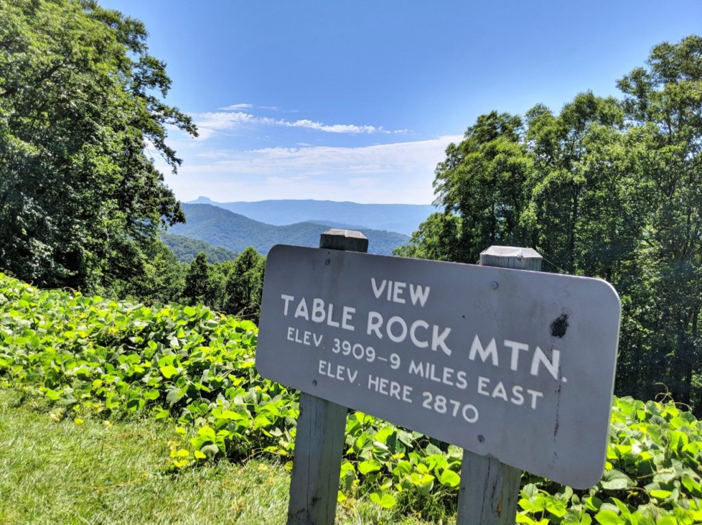
Table Rock Mountain Overlook
I assume Table Rock Mountain is that flat-topped mountain waaaay in the distance, to the left of the sign. Sometimes it’s not 100% clear exactly what you’re overlooking.
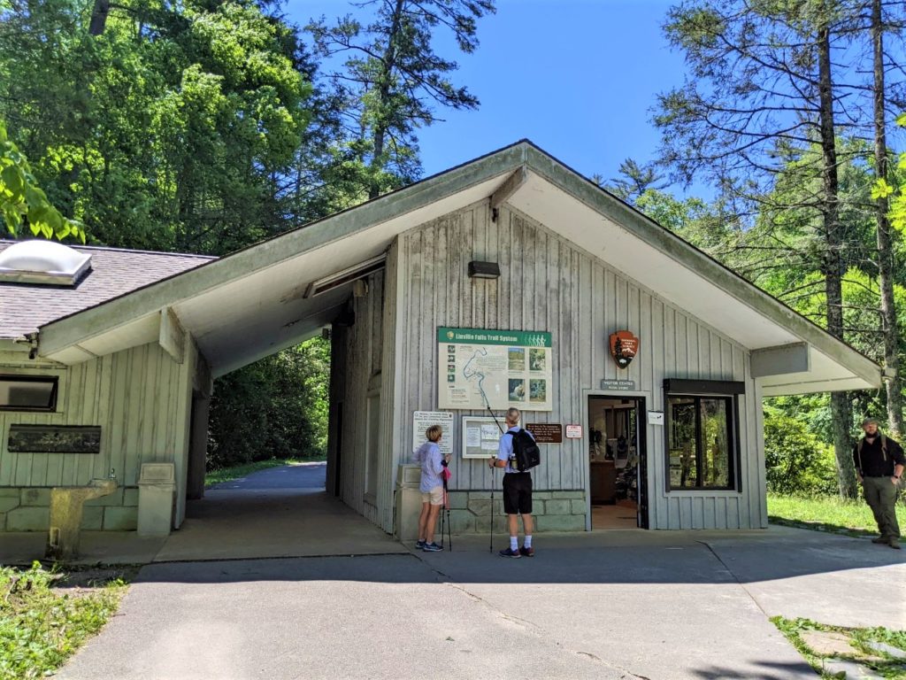
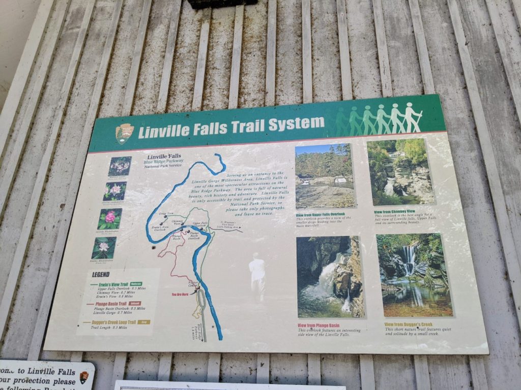
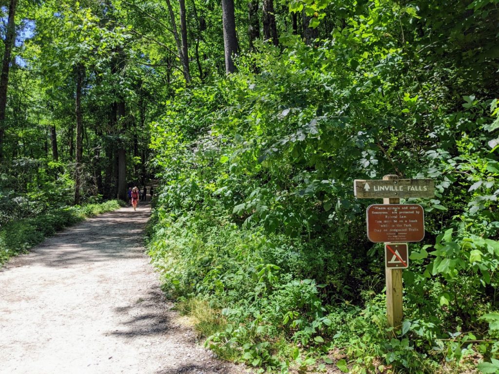
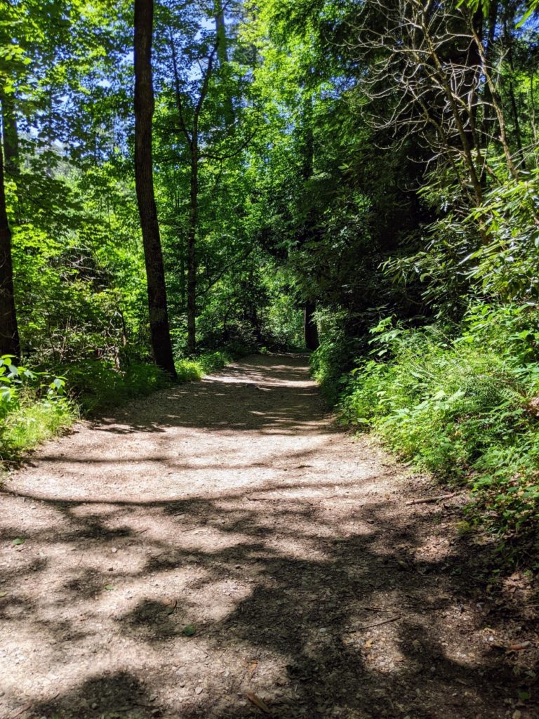
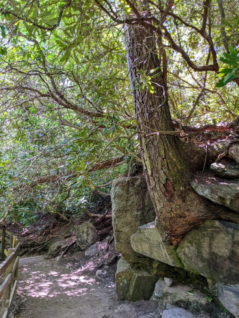
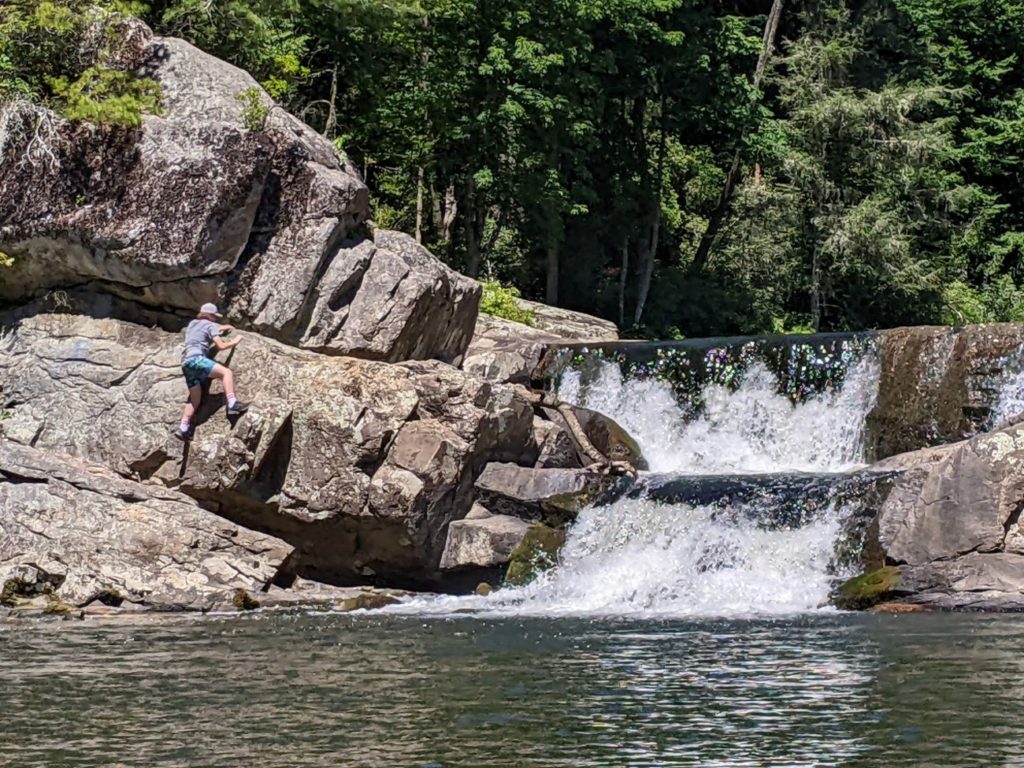
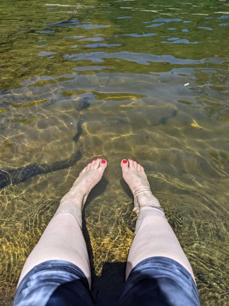
Linville Falls
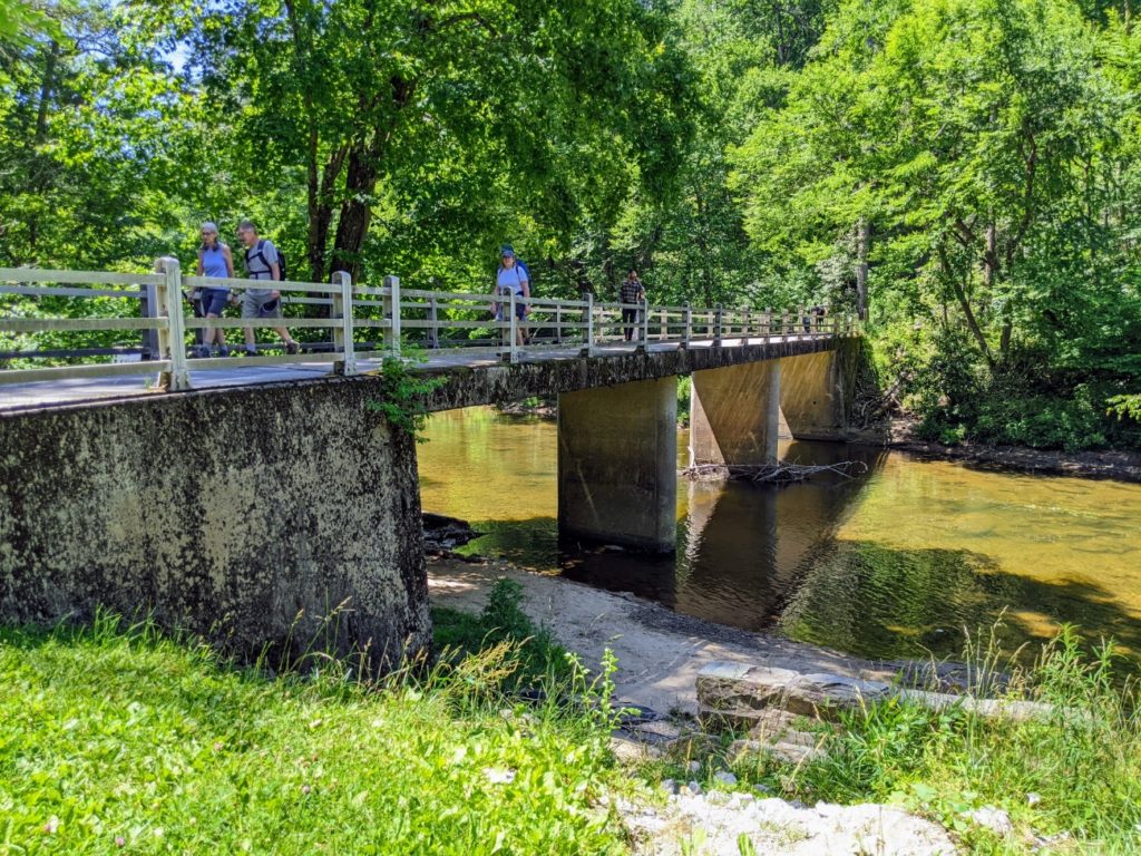
The Linville Falls area offers a few fairly easy hikes along a river to two waterfalls. The nearest overlook is only half a mile and a great spot to put your feet in the water for a few minutes. Farther along offers more views and an even easier trail goes behind the parking area. I like how the sign shows you what you can see from each destination.
There’s a visitor center, bathrooms, and a shop at the main trailhead. And the popular waterfall trails start with a bridge over the river.

Flat Rock Overlook
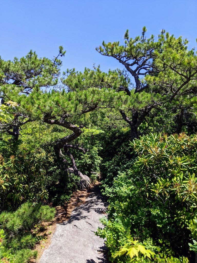
Flat Rock Overlook is a fairly easy 30-minute loop trail out to a – you guessed it – flat rock with a great view! It’s really pretty cool-looking. I like all the craggy trees. I suggest heading to the left at the split on the way out so that you can follow the painted yellow arrows to stay on the trail when you get to the flat rock itself.


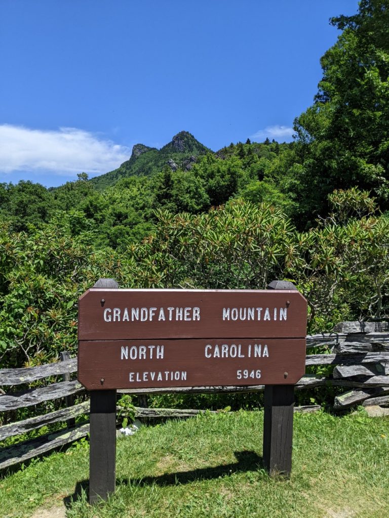
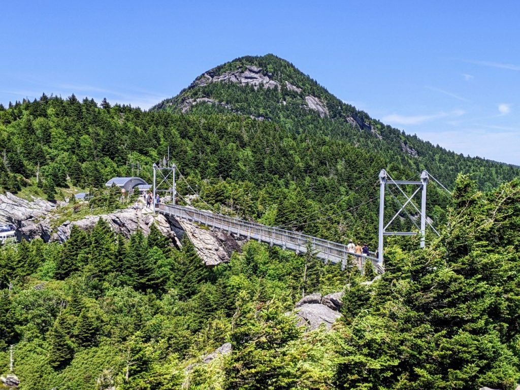
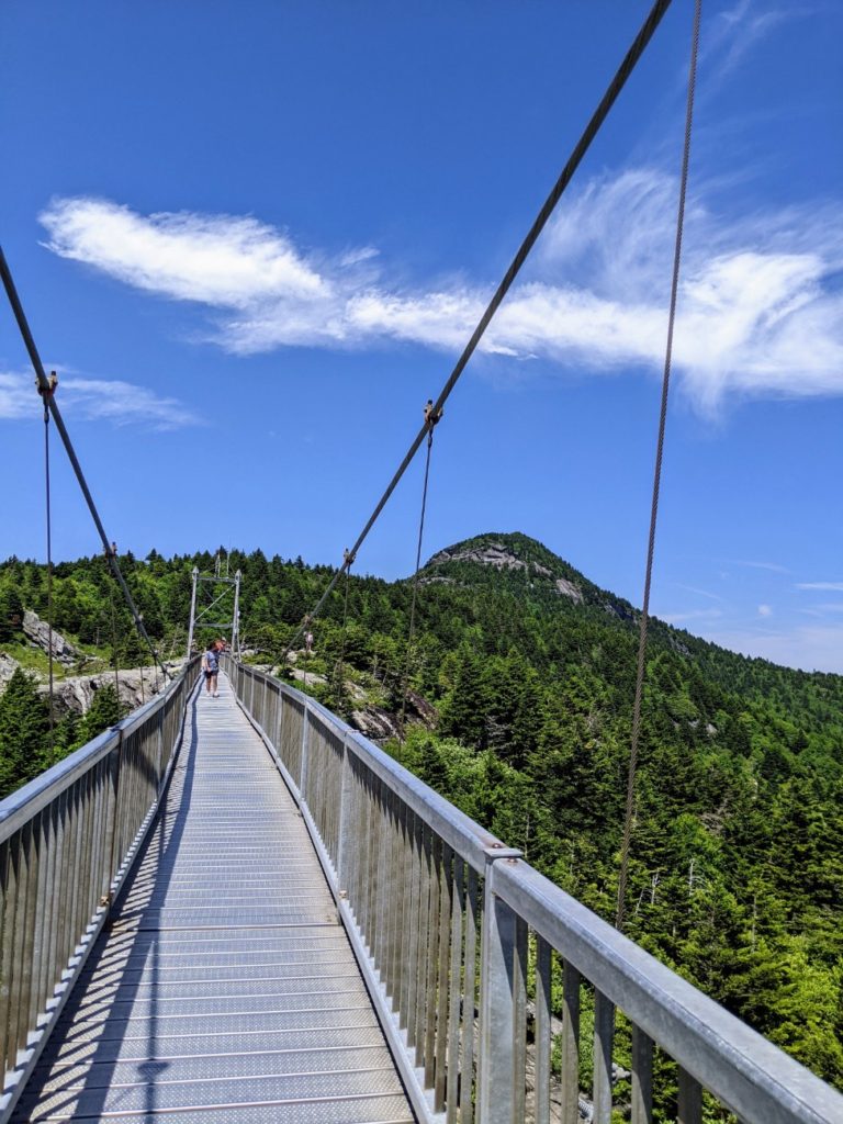
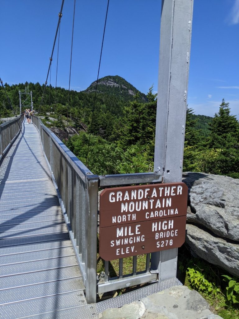
Grandfather Mountain
Grandfather Mountain isn’t so much a state park as it is a set of attractions. There is plenty of hiking and picnic areas, for sure, but the emphasis is on the hairpin drive to the top and what you’ll see on the way.
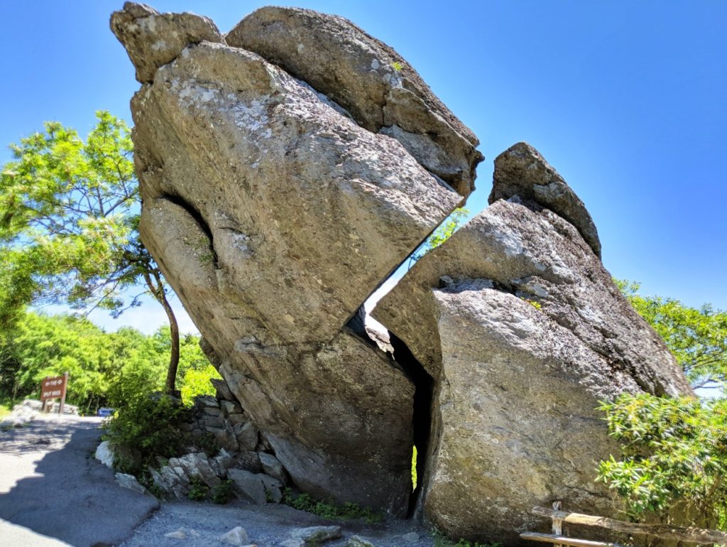
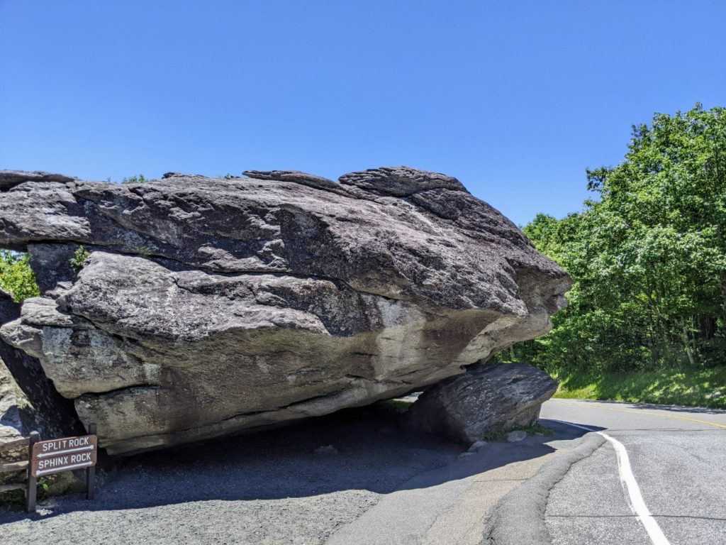
Rocks
The first stop is a real Garden of the Gods moment with Sphinx Rock & Split Rock, two rock formations with plenty of parking nearby. From here, you can drive or walk up to the next stop.
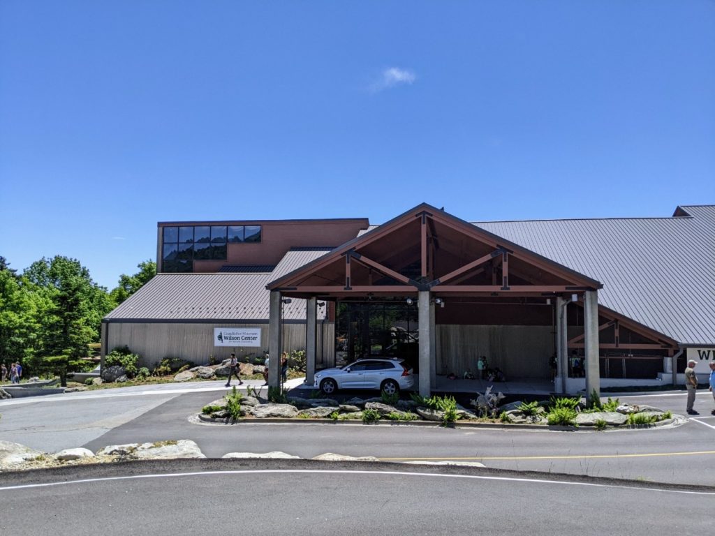
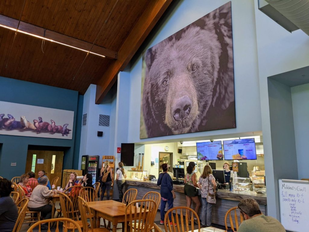
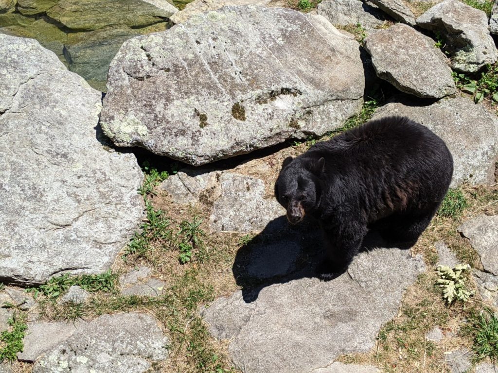
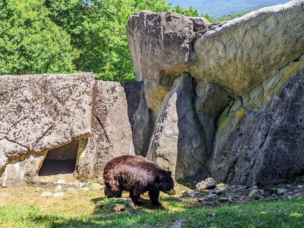
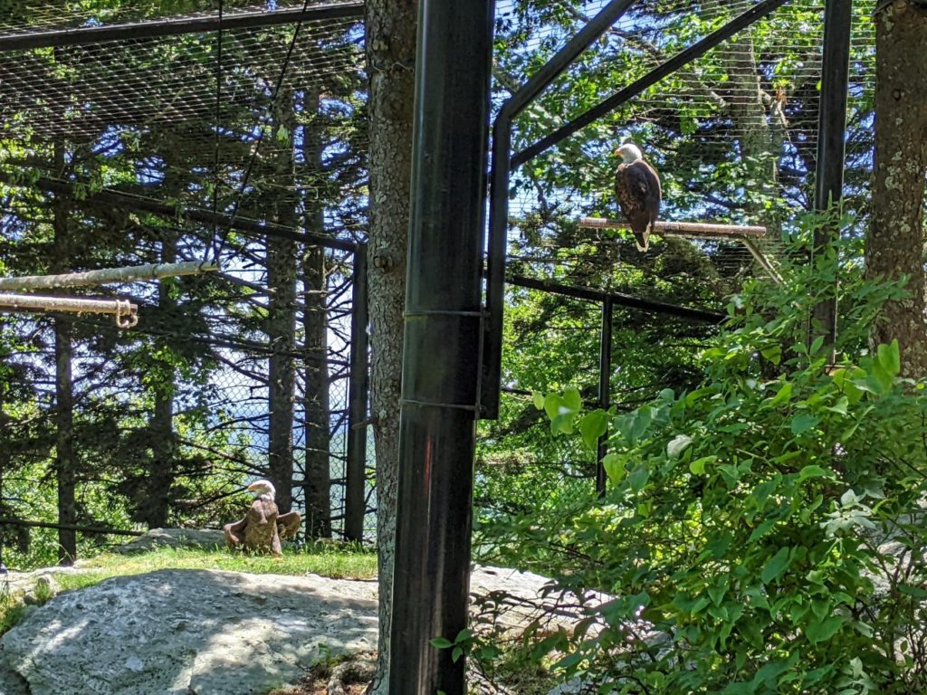
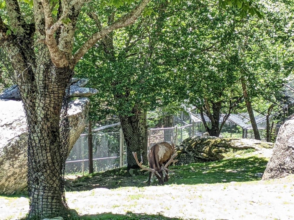
Nature Museum & Zoo
Next, is a big nature museum, gift shop, bathrooms, restaurant, and even a small zoo! During my visit, the nature exhibits and a theater were closed for refurbishment, but they have since reopened.
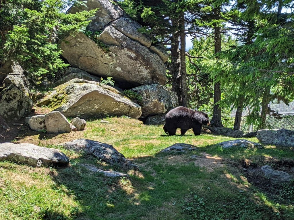
Outside and down the hill (almost to where Split & Sphinx Rocks are) are animal habitats featuring black bears, otters, bald eagles, elk, and cougars. I got a good look and heard a talk about the black bears, saw the eagles and elk pretty well, but cougars and otters were out of sight. There’s also supposed to be a fudge shop down here, but it’s also closed.
Mile-High Bridge
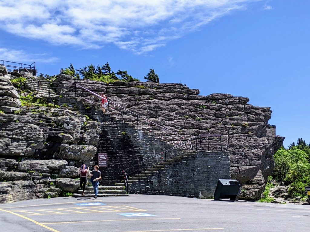
At the very top is the mile-high swinging bridge. Apparently, it really used to swing quite a bit! Now, it’s pretty sturdy metal and hardly swings at all. Instead, listen close for the sound of the wind acting on the bridge like a harmonica. And it’s very windy up here – definitely hang on to your hat and phone. You can take stairs or an elevator to reach the bridge, so it’s pretty accessible. On the far side, you can walk out to a rock outcropping but make sure you have sturdy shoes and be mindful of the wind and the edges. There aren’t any safety rails at the very top. (Though there is a staff person.)
In front of the bridge is the Top Shop with gifts, snacks, and bathrooms. Don’t miss the photo gallery on the second floor. It’s inside this building you would take the elevator to the bridge if needed.


Hours & Admission
Grandfather Mountain is open from 8 am-7 pm, with the last entry at 5:30 pm. It costs $24/adult and $2 less for seniors 60+ and AAA members. Kids 4-12 are $10. When you enter, you get a CD to play in your car for a guided audio tour. And I think that’s what really ruined my visit – the CD promises all sorts of things that were closed, like all the things to do at the nature center and free samples at the fudge shop. They obviously haven’t updated it since Covid! So I ended up miffed at paying full price and feeling that too much was closed. Since they’ve reopened the nature center, maybe the (mile) high price is worth it. And the staff is top-notch at every stop.
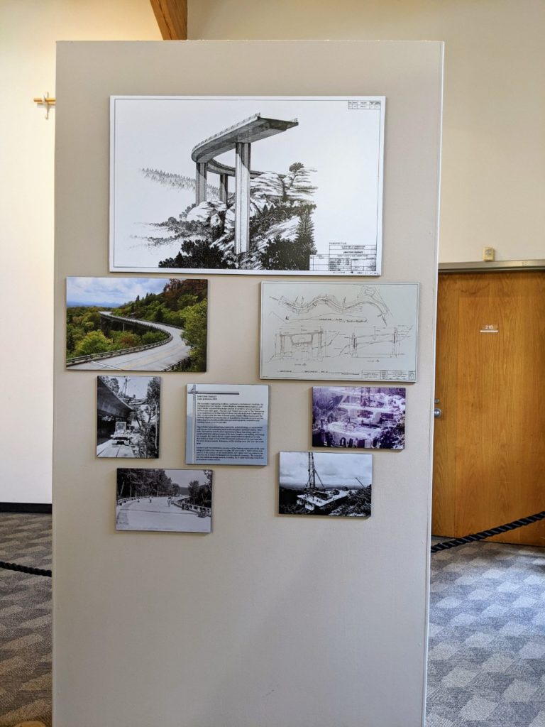
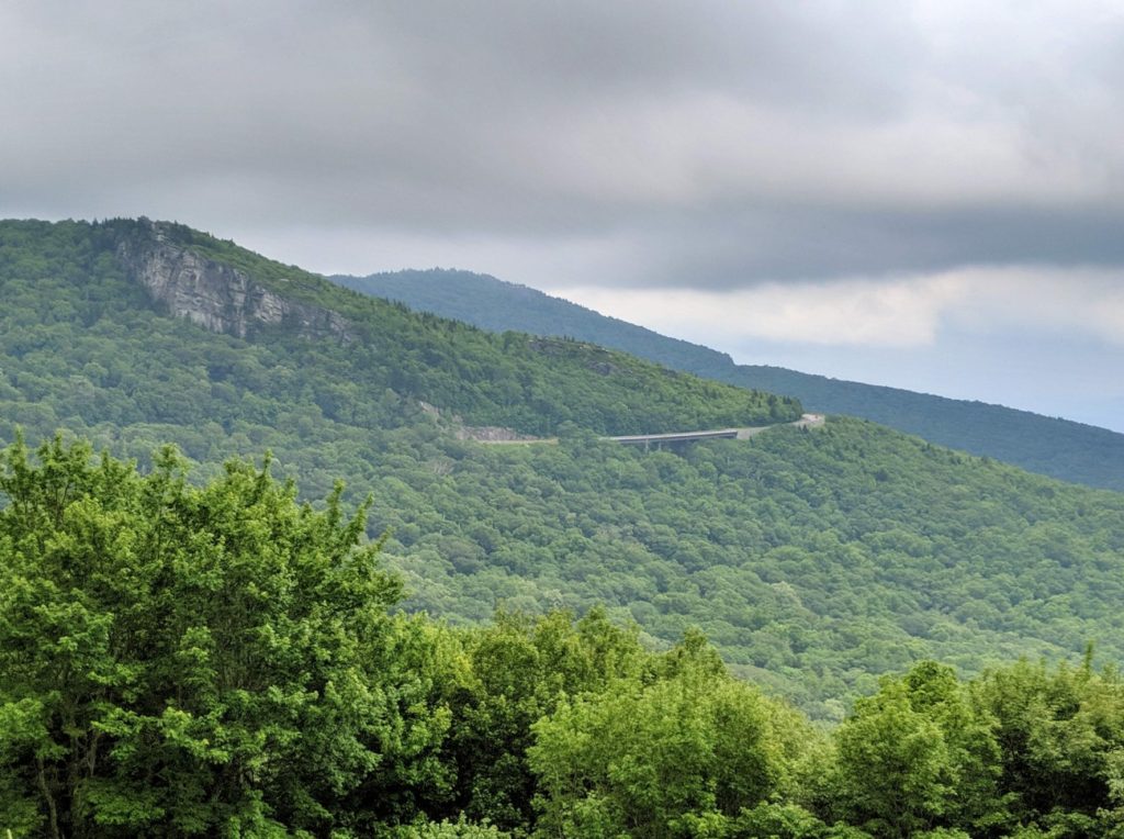
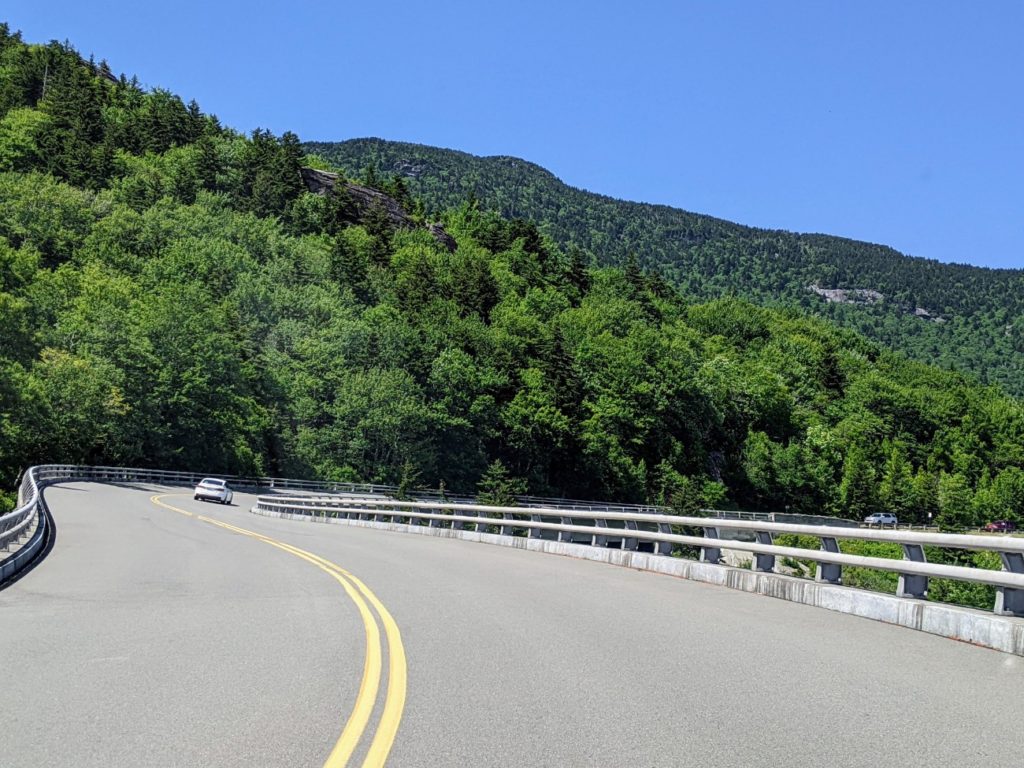
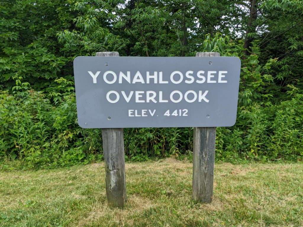
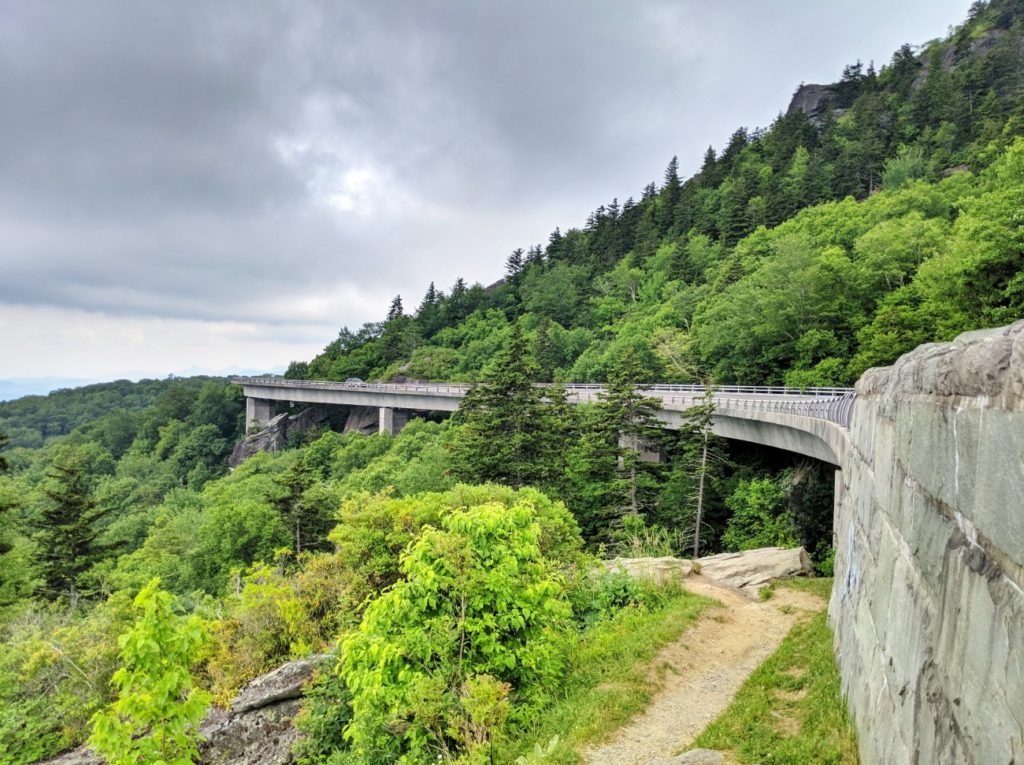
Linn Cove Viaduct
The Linn Cove Viaduct that skirts the base of Grandfather Mountain sat unfinished for 20 years until environmentalists and engineers agreed on a way to connect the Blue Ridge Parkway without destroying the habitat. The result is an elegant sweep of the parkway, lifted from the side of the mountain like a bridge.
There is a visitor center just south of the viaduct with a short trail that goes under the structure. On the north side is the Yonahlossee Overlook providing some side views. (And possibly a trail to a swimming hole – I saw people in bathing suits.) But if you want a photo from above the viaduct like you see in the brochures, it takes a bit of scrambling on an adjacent trail – follow these instructions to reach the rock outcropping with the perfect view.

If you started your day in Asheville, had lunch in Little Switzerland, and visited Linville Falls and Grandfather Mountain, Linville is a decent place to stop for the evening. There are some nice restaurants, golf courses, lodges, and inns, as well as cheaper hotels and food in the area. Though I will say that if you try to get that brochure-worthy photo of the Linn Cove Viaduct, the light is reported to be better in the morning than in the evening.
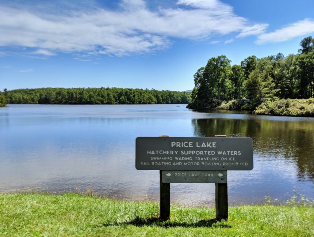
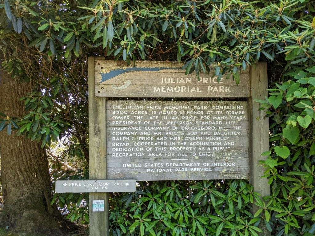
Julian Price Memorial Park
At the base of Grandfather Mountain is Julian Price Memorial Park, with camping, picnic grounds, trails, and a lake with seasonal canoe rentals. A trail around the lake is under 3 miles.
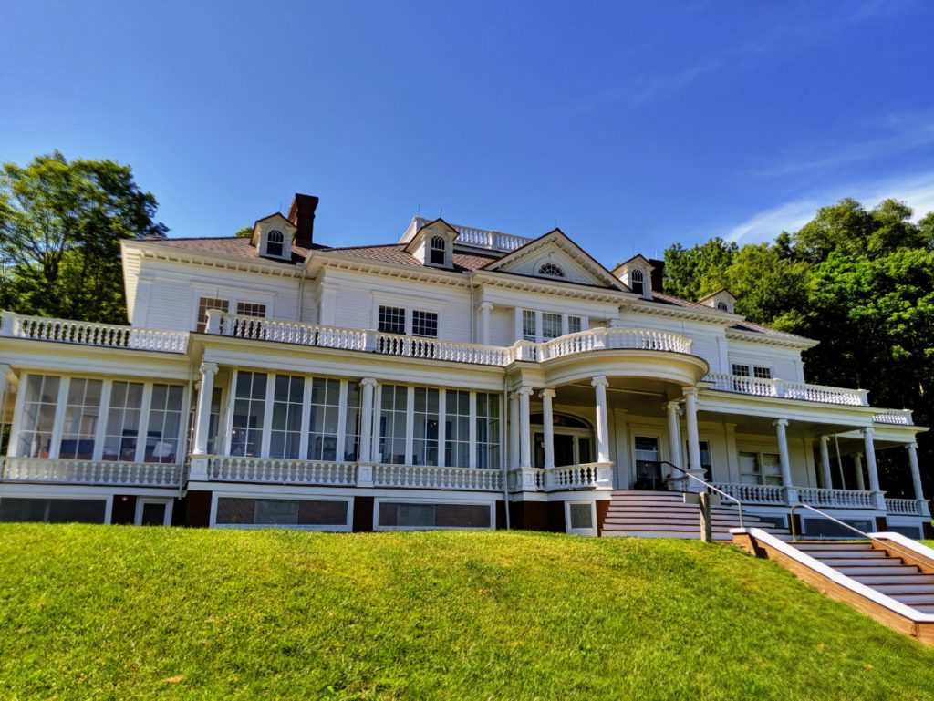
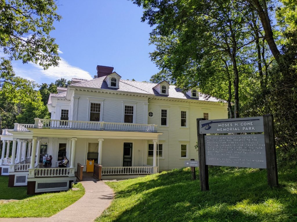
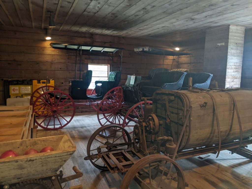
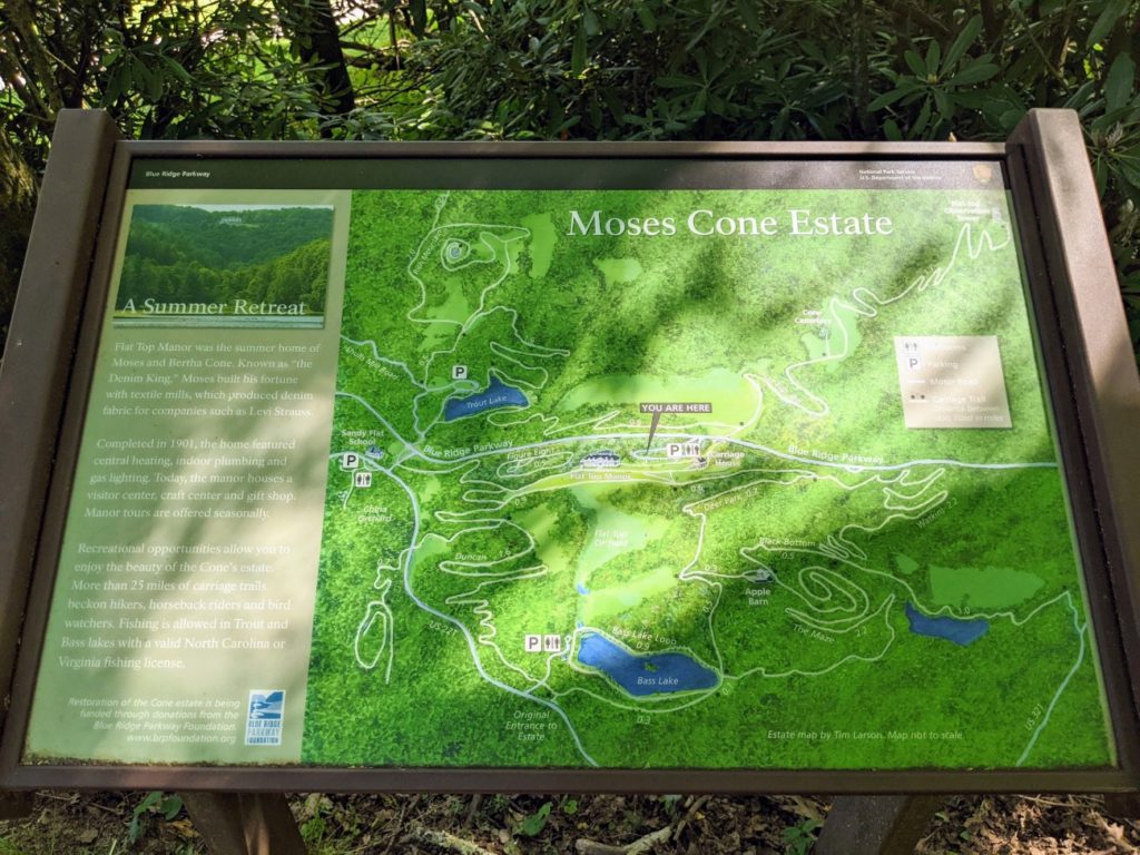
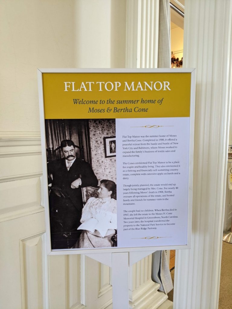
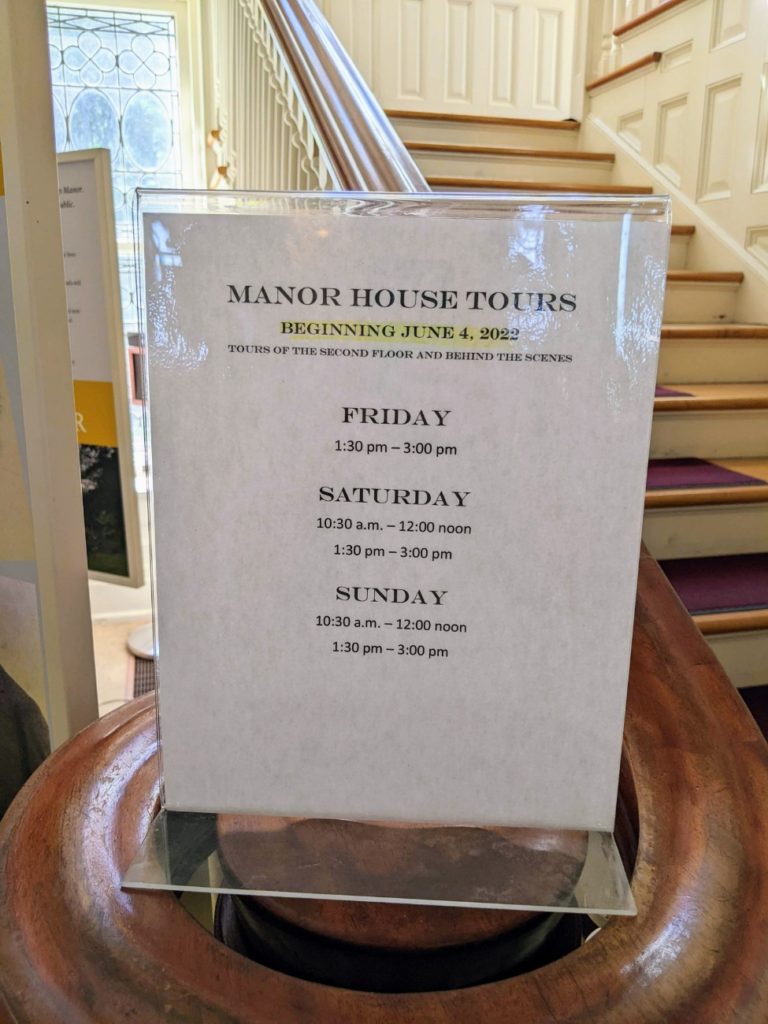
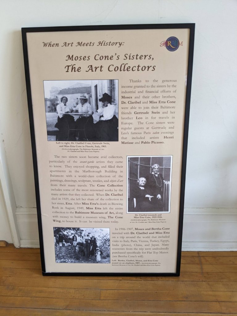
Moses H. Cone Memorial Park
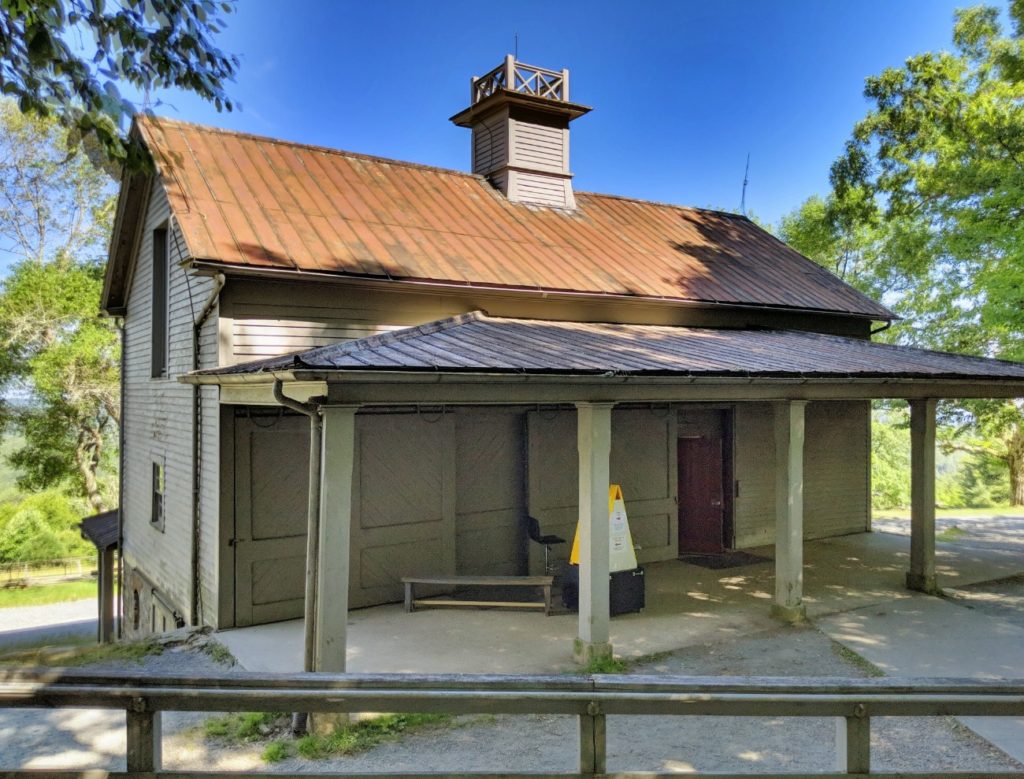
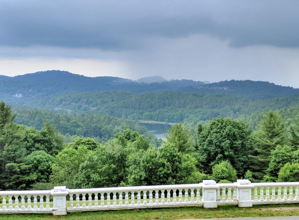
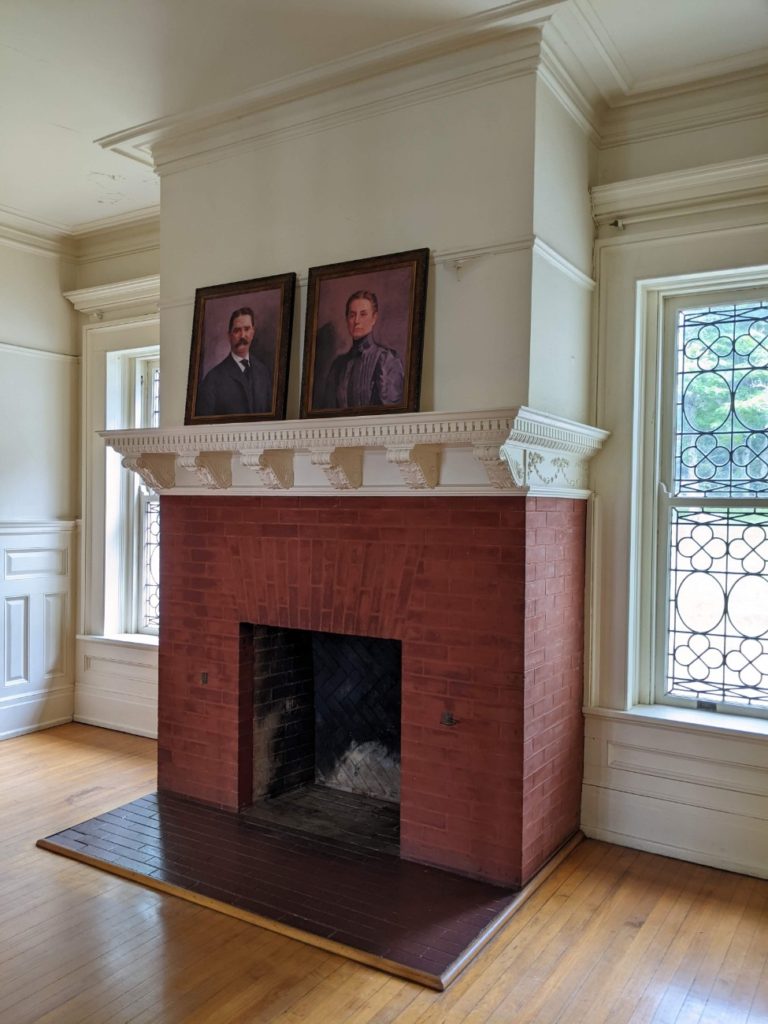
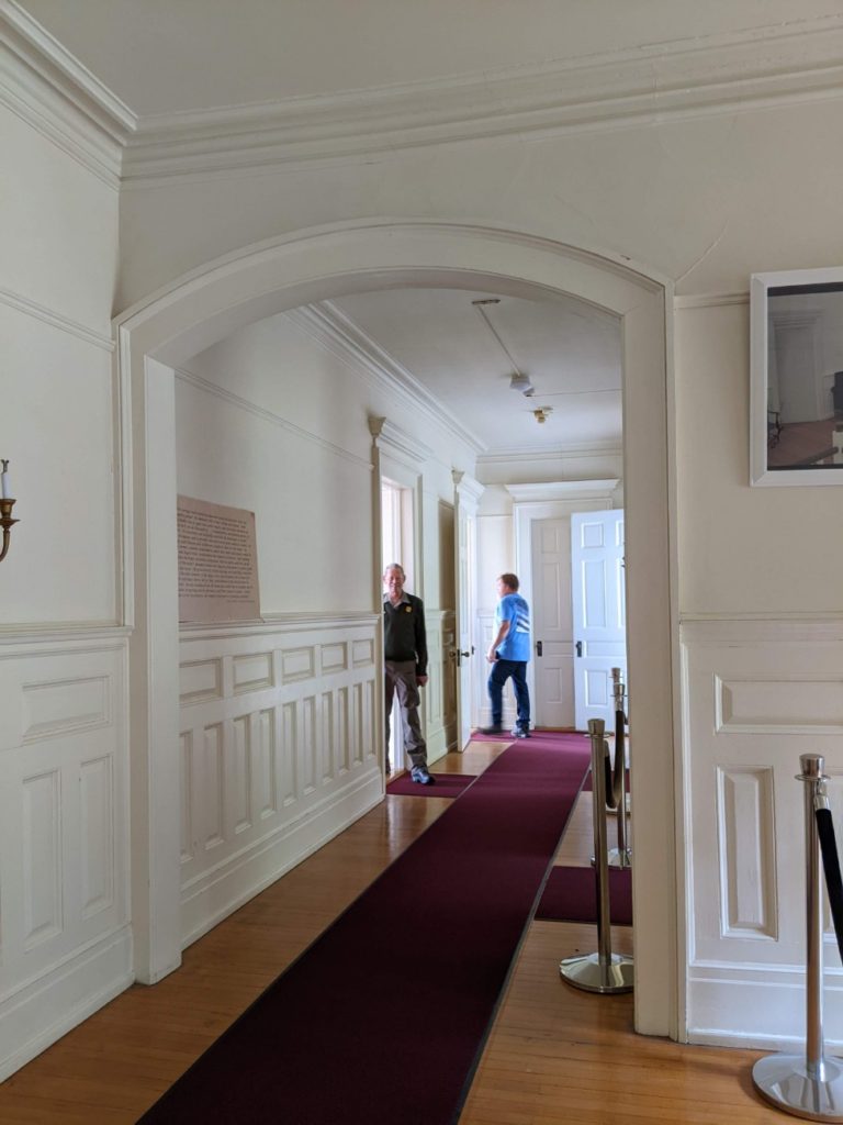
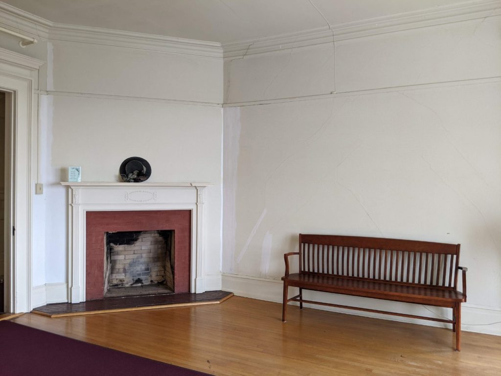
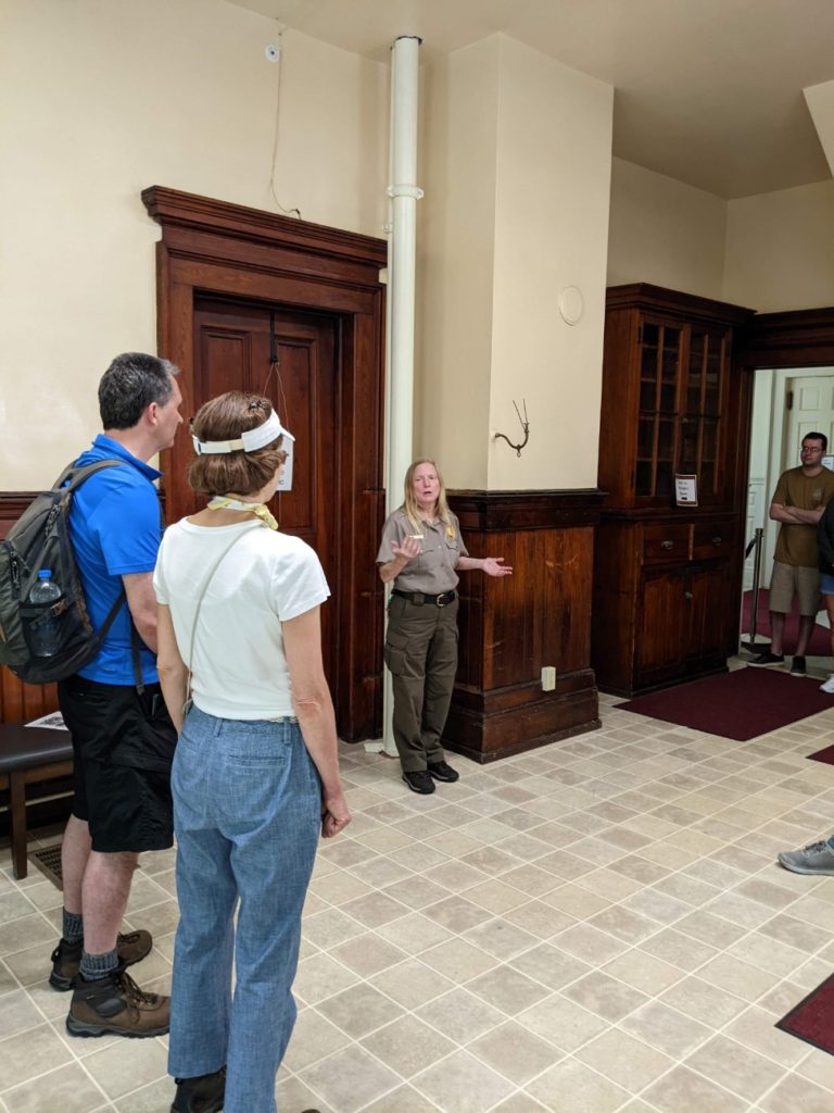
Adjacent to Price Park but much more impressive is the Moses H. Cone Memorial Park. This park features the Cone Manor House, a carriage house (now bathrooms), and 25 miles of carriage roads past lakes and up mountains.
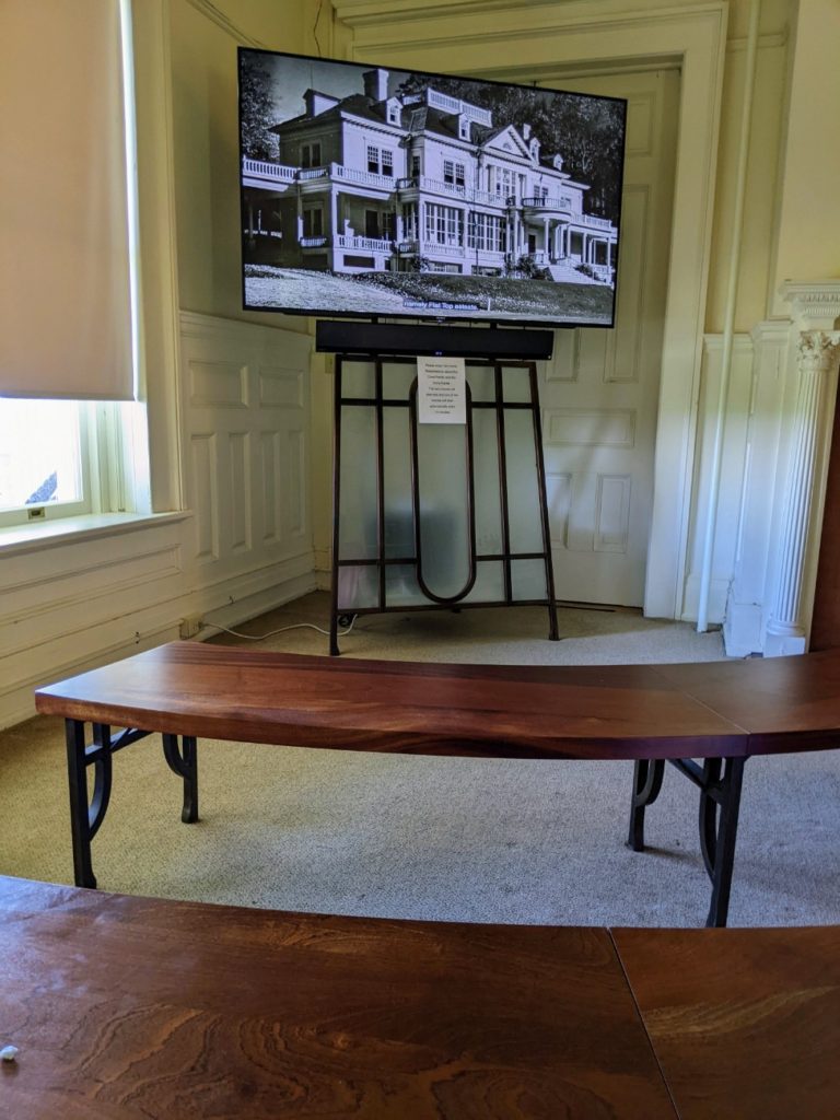
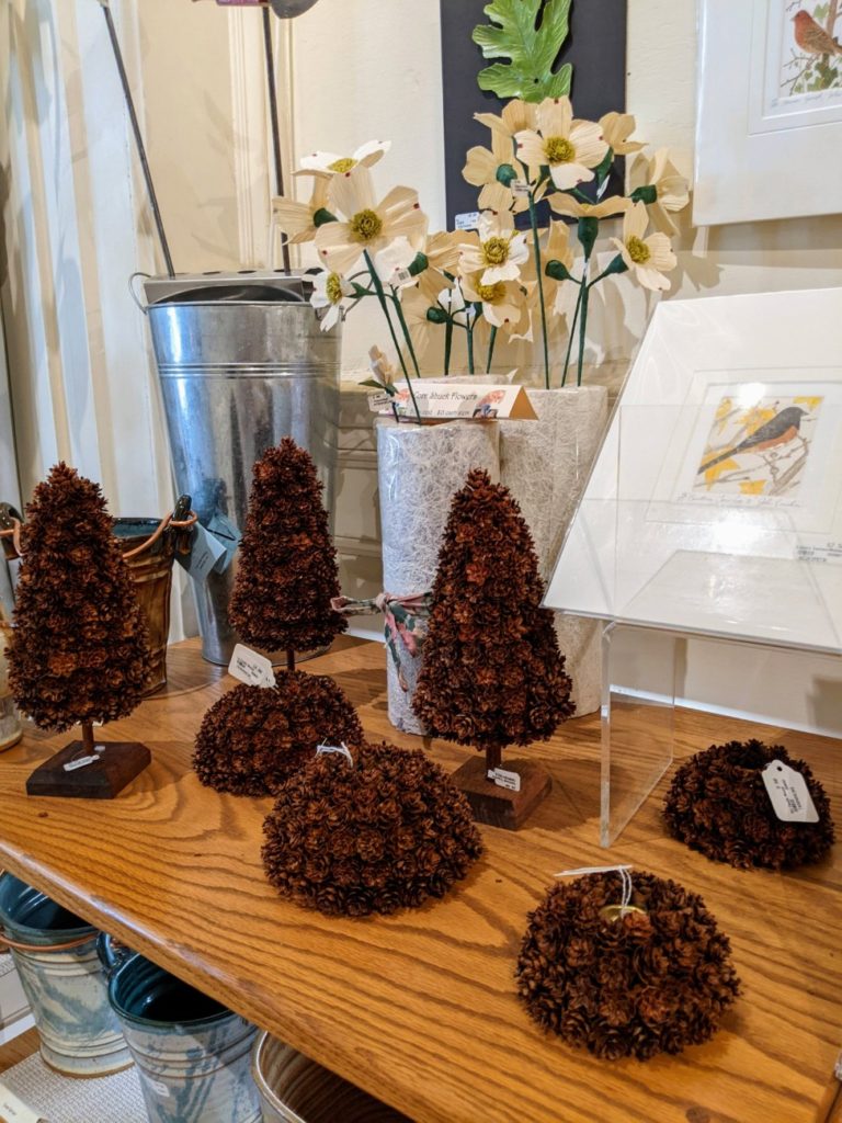
The house itself is beautiful and worth a stop even if you don’t plan to do any intensive walking of the grounds. In the Manor House is a large gift shop with local crafts and a room with a video about the estate. If you visit on the weekends, you can walk through the second floor and into some of the back rooms while stationary rangers give information and answer questions.
Tours are given during the summer months on Fridays 1:30-3:00 pm; and on Saturdays and Sundays from 10:30 am-noon, and 1:30-3:00 pm.


Detour – Blowing Rock
I don’t recommend too many off-parkway detours, but nearby Blowing Rock, NC has a couple of attractions that pique my interest. The Blowing Rock itself looks like a tourist trap, but there’s also Mystery Hill and Tweetsie Railroad. They’re also tourist traps, to be sure, but they look a little more interesting! I don’t think Tweetsie has any big amusement rides, but they have a nice train. All three locations charge admission.
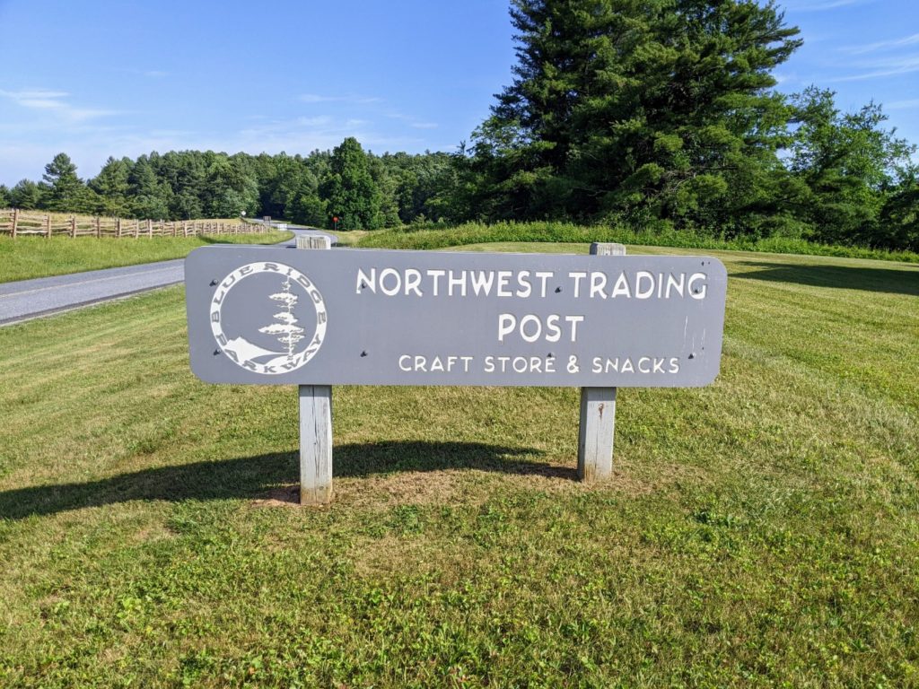
North to the Northwest Trading Post
Between Moses Cone Park and the north end of the Blue Ridge Parkway in North Carolina, there aren’t quite as many “attractions” per se. There are overlooks and picnic areas, most notably the E.B. Jeffries Park with bathrooms. But generally, the road gets less mountainous and twisty the farther north you go.
Just before you get to the Northwest Trading Post is a short trail to Jumpinoff Rocks. I didn’t find it, but it’s around mile marker 260.6.
The Northwest Trading Post is a gift & information stop with restrooms and snacks. All were closed when I drove by in the evening hours. According to Google, it’s open 9-5 but closed Monday & Tuesdays.
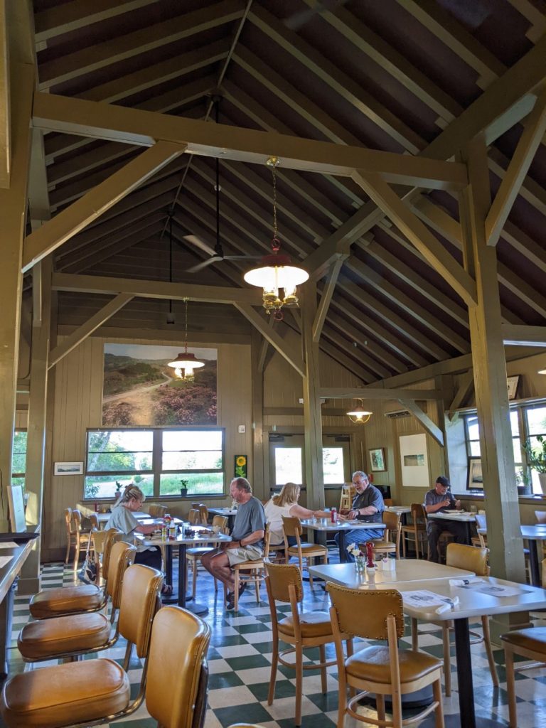
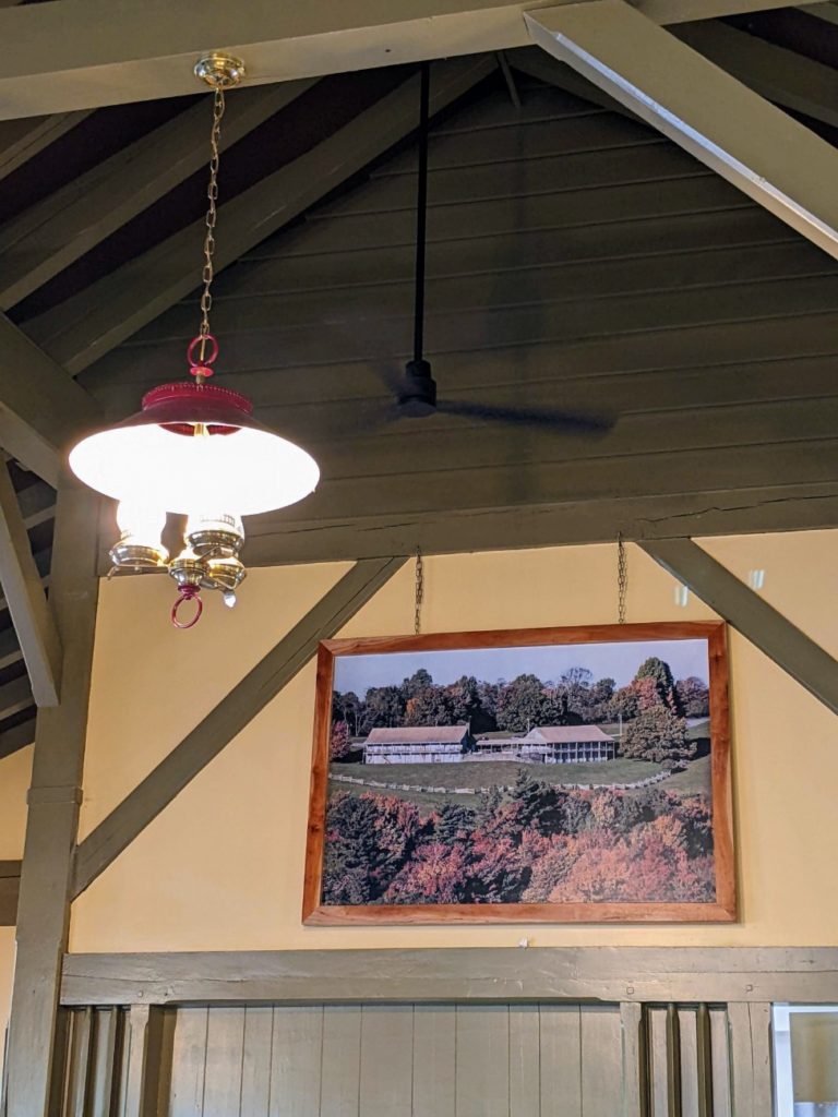
Doughton Park & The Bluff Restaurant
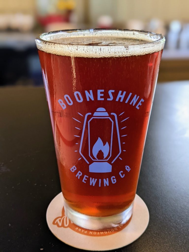
Further north, around mile marker 240, you find Doughton Park with 30 miles of hiking trails. Pick up a map at the visitor center, or better yet, have a meal at The Bluffs Restaurant. I stopped in here for dinner and it was my favorite meal of the trip! The vibe is friendly and laid back – I fully enjoyed sitting at the bar and interacting with the fun staff.
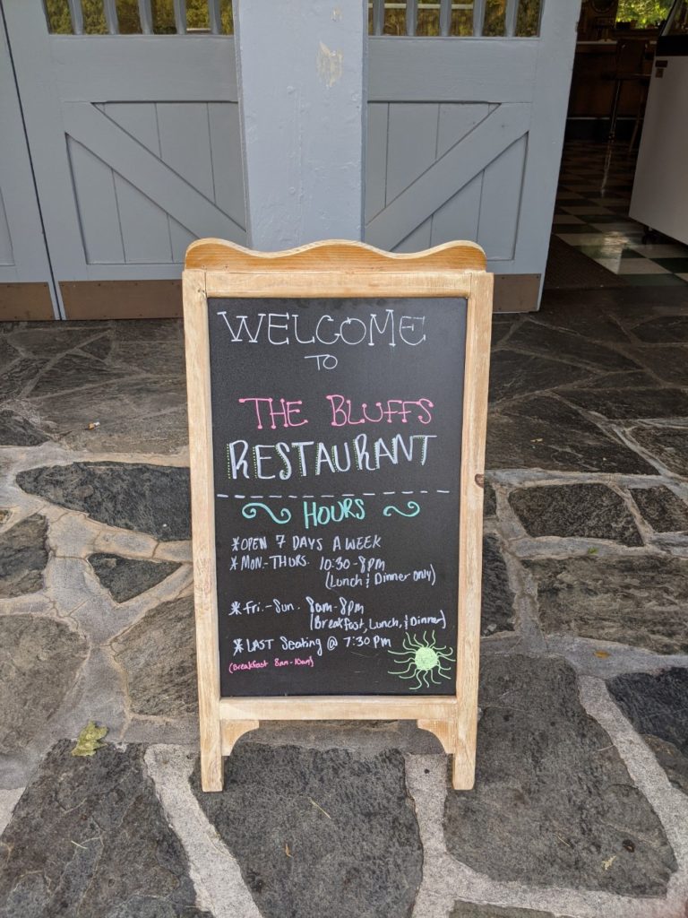

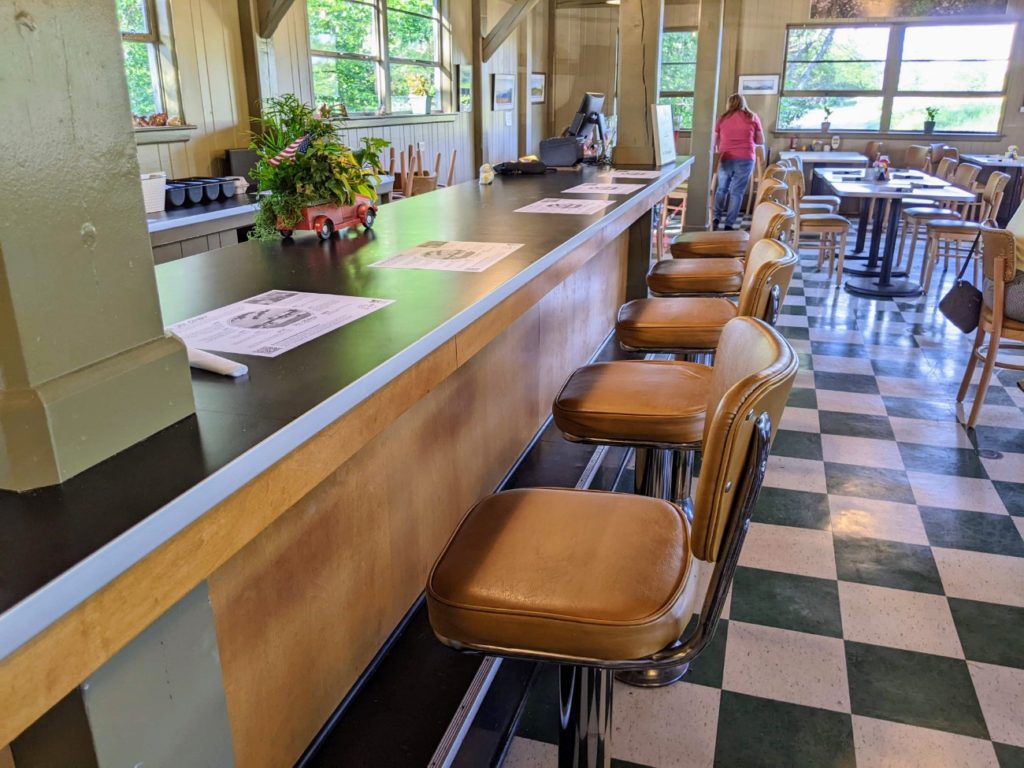
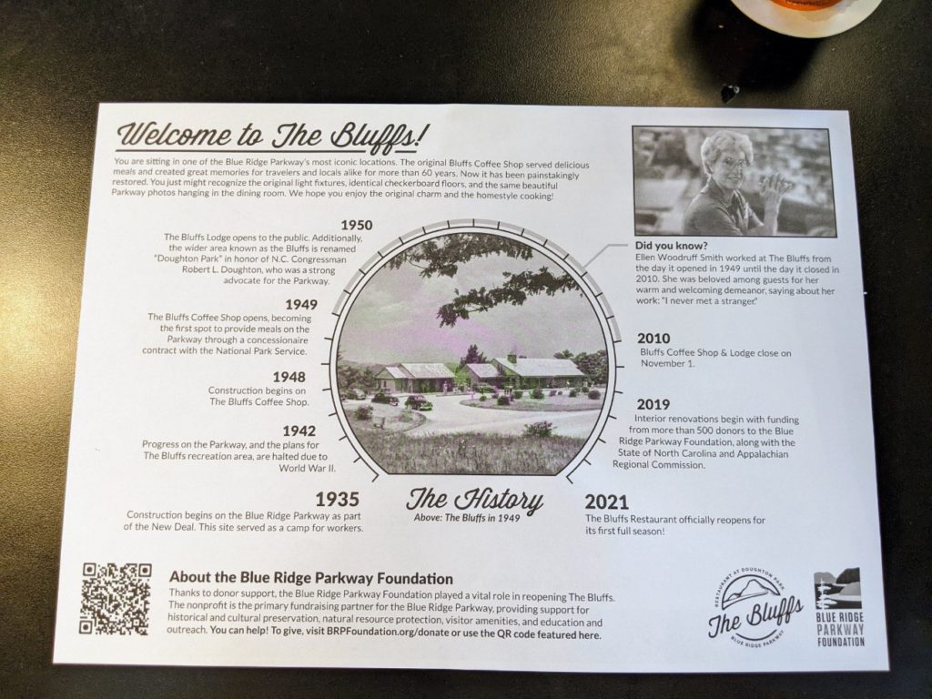
The Bluffs Restaurant is open from 8 am-8 pm Friday-Sunday for breakfast, lunch, and dinner. The rest of the week, breakfast service is skipped and they open at 10:30 am. The last seating is at 7:30 pm.
There used to be a Bluffs Lodge, like an old motor court, but it fell into disrepair and has yet to reopen. It would have been only three hotel lodgings directly on the Blue Ridge Parkway itself, along with Pisgah Inn, above, and Peaks of Otter Lodge, below.
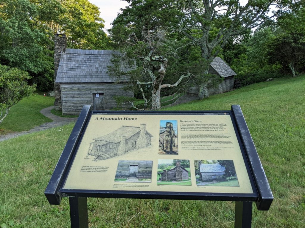
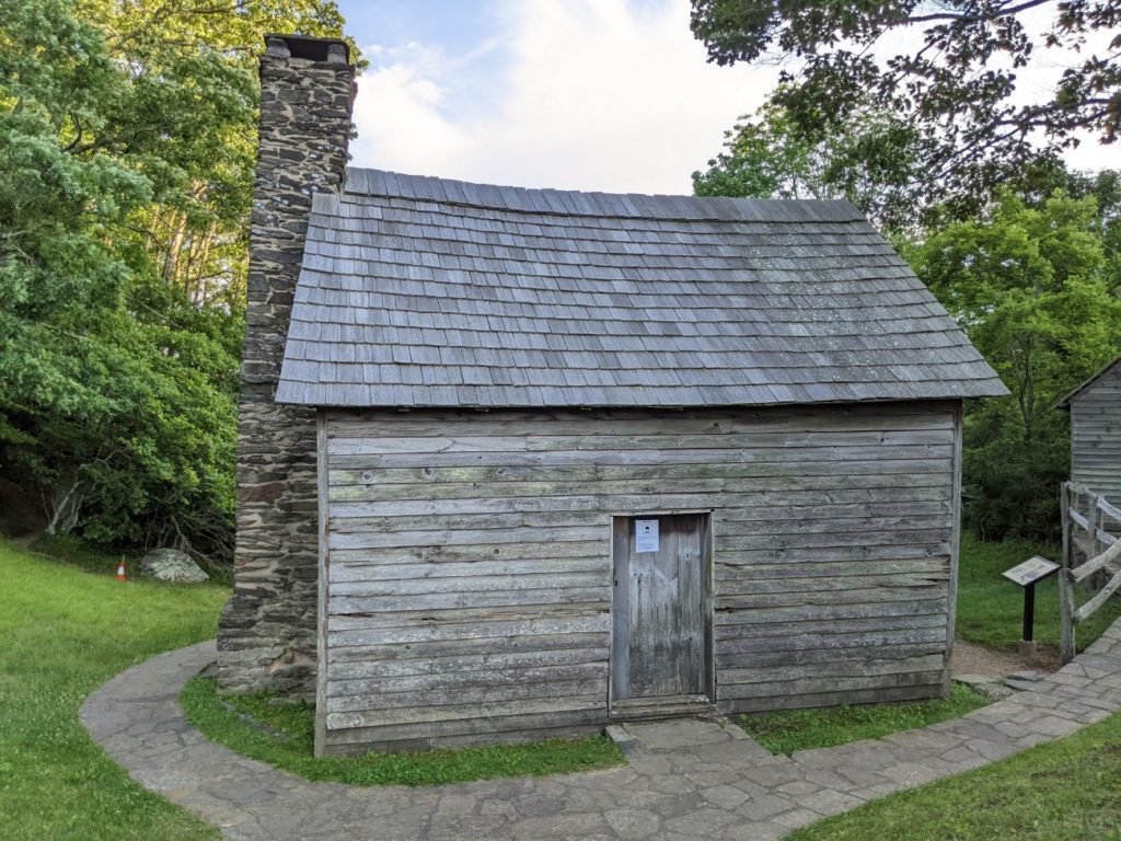
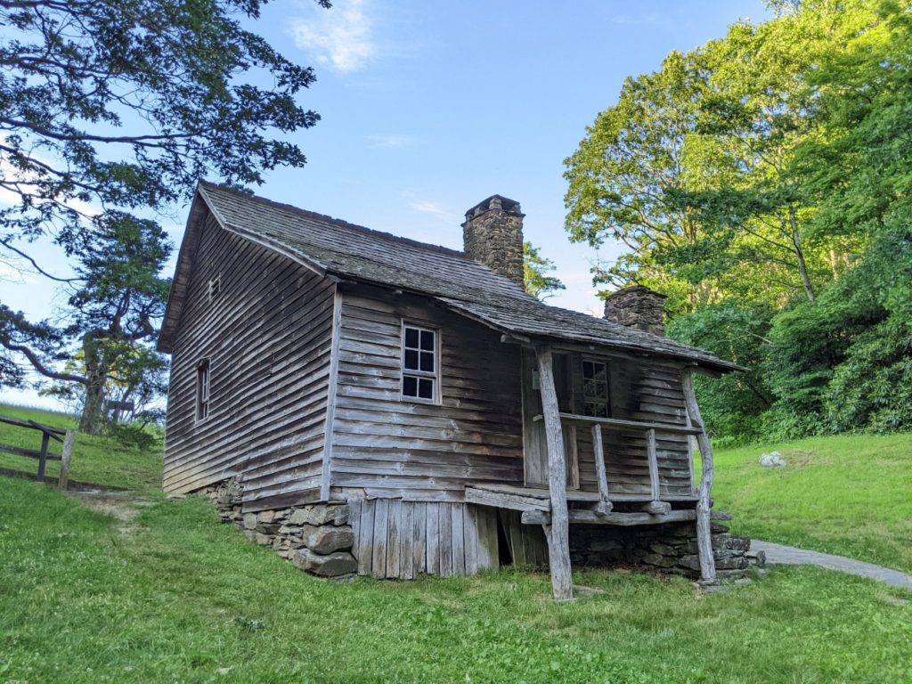
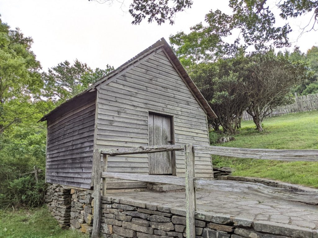
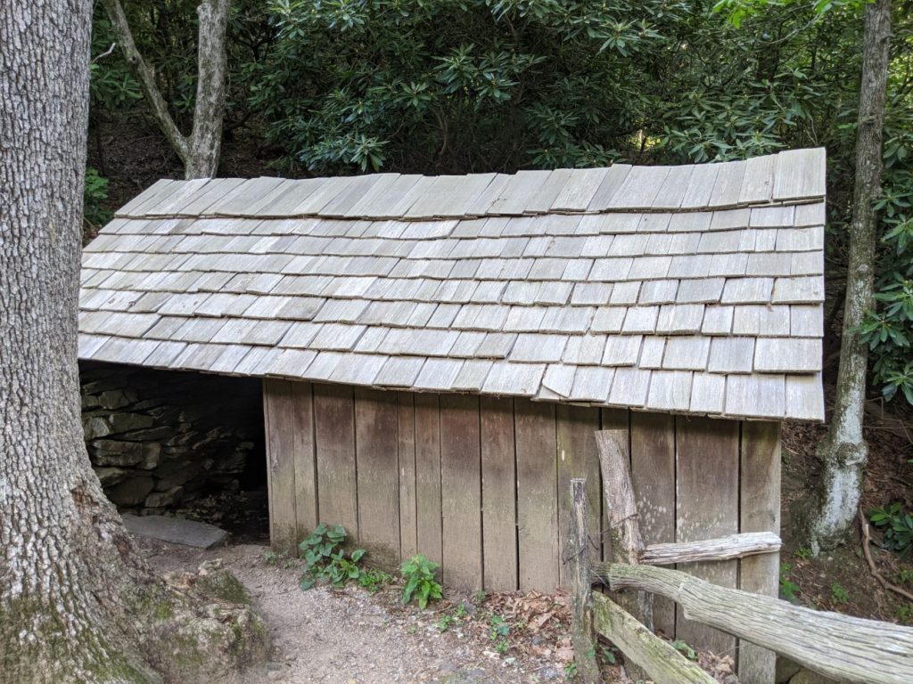
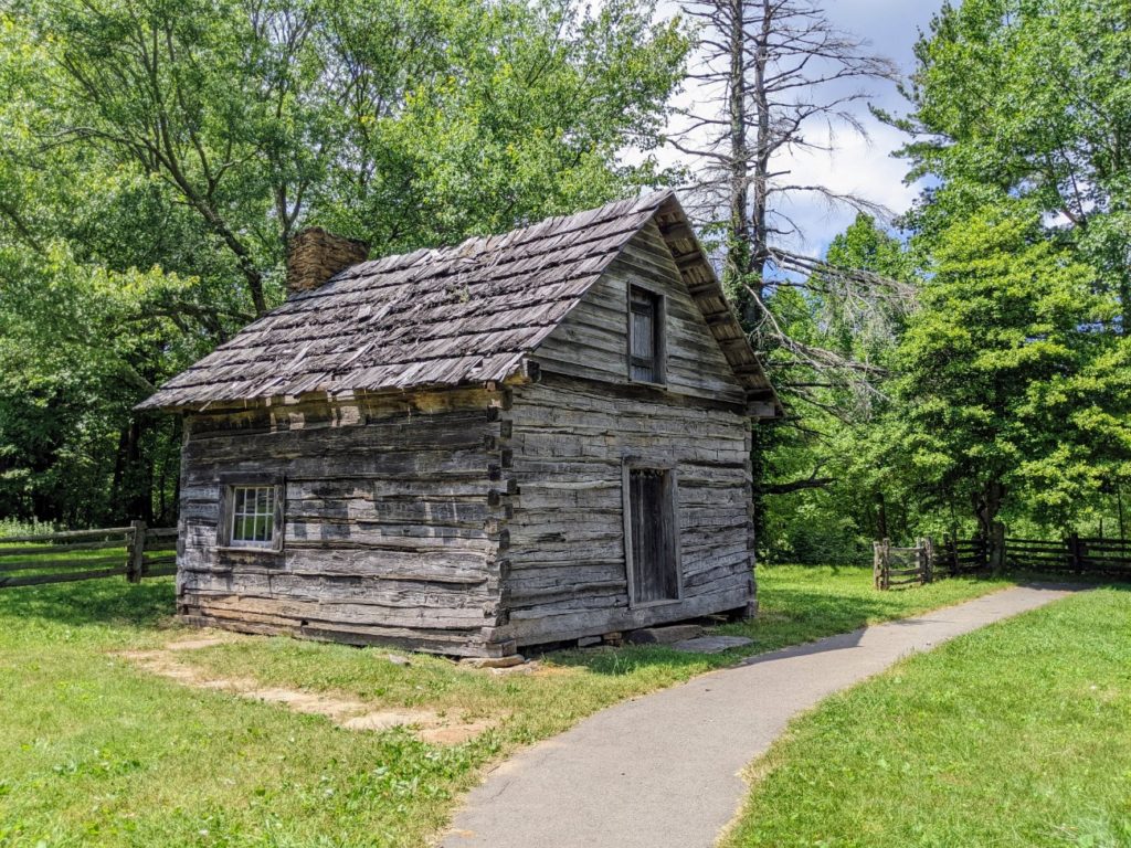
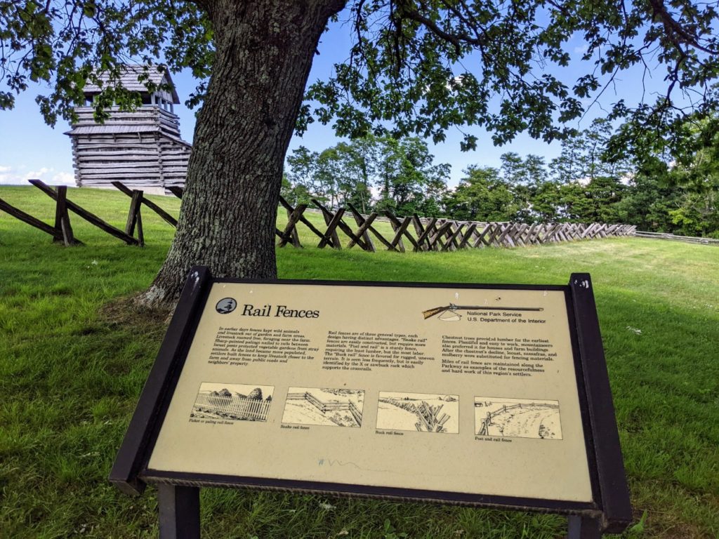
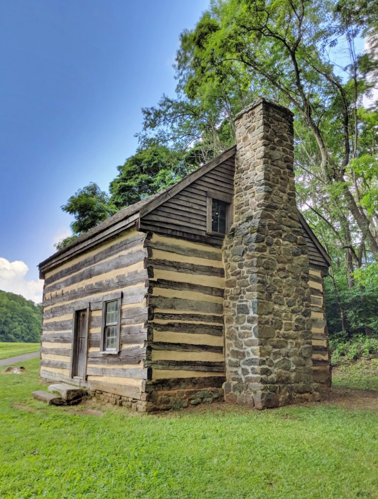
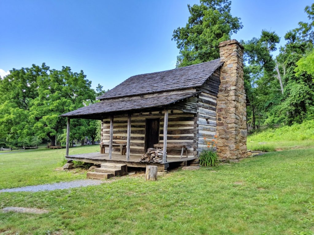
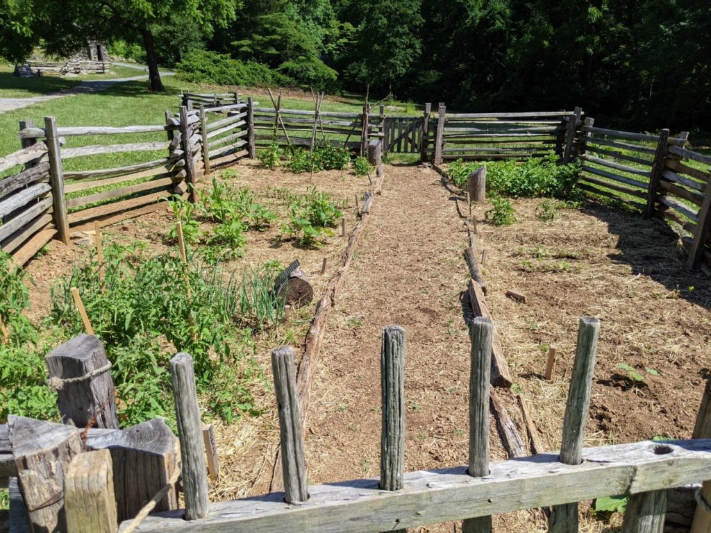
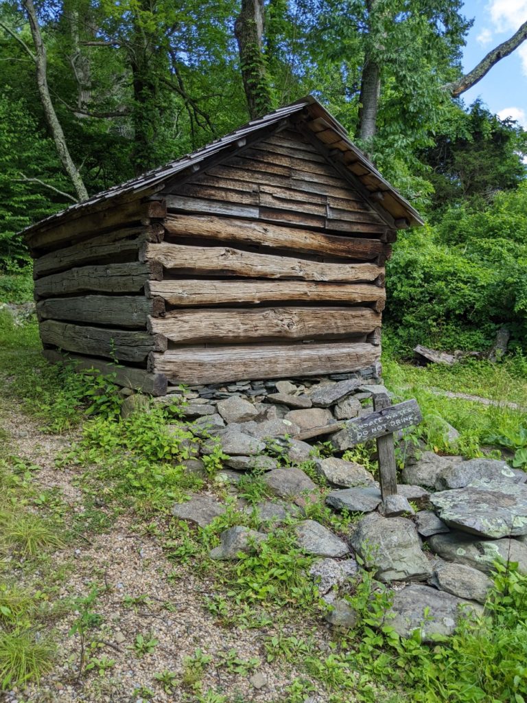
Brinegar Cabin
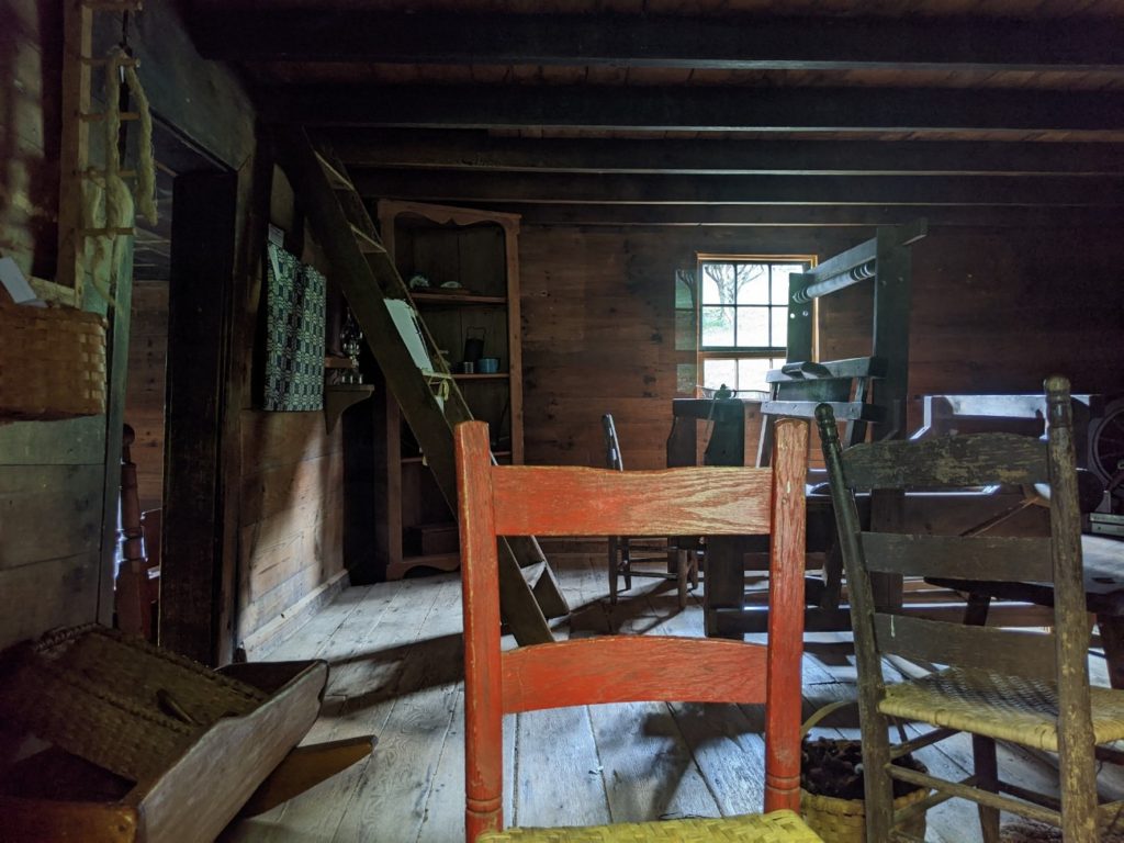
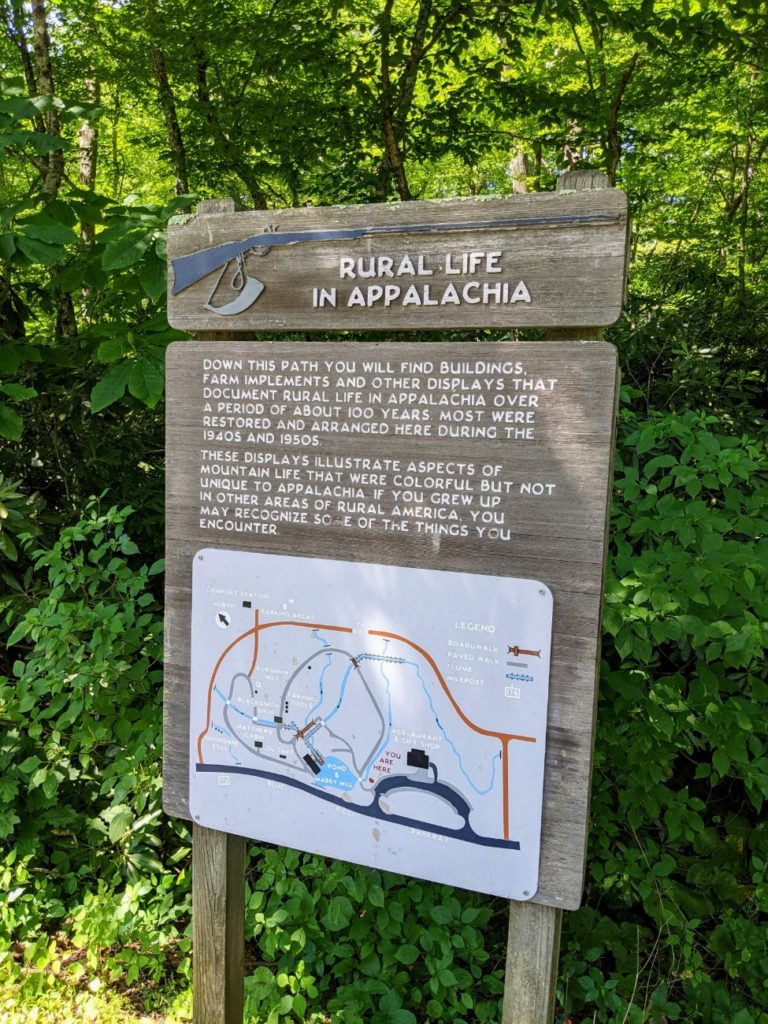
The farther north on the Blue Ridge Parkway you go, the more the focus shifts to Appalachian living. In Doughton Park, you find the Brinegar Cabin, a well-preserved collection of pioneer buildings, built around 1878. There’s the main cabin, a storehouse, and a spring house over a stream.
The cabin is only occasionally open, and maybe only on the weekends. When it is open, visits are from 10:00-11:45, and 1:30-4:00. If it’s closed, you can still walk around and see the buildings. You just can’t go inside the cabin.


Fox Hunter’s Paradise
As you get close to the Virginia State Line, there are a few spots good for getting out of the car. Fox Hunter’s Paradise is a short walk to a stone overlook. Apparently, hunters would hang out here and still be able to keep tabs on their dogs.
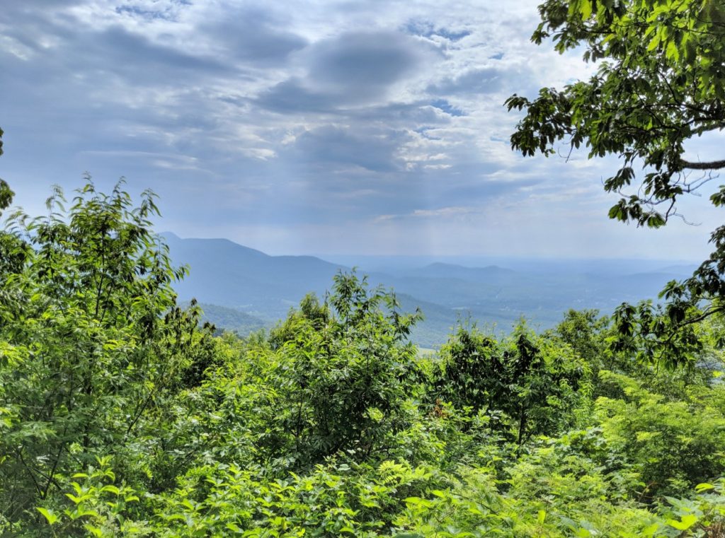


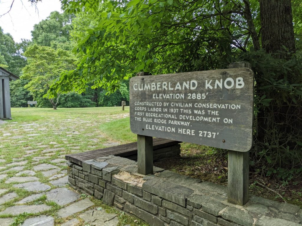
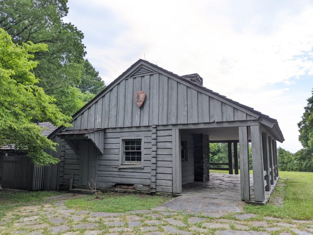
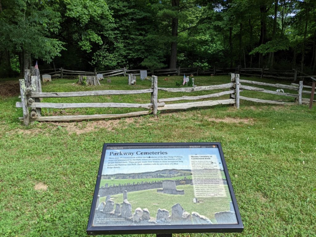
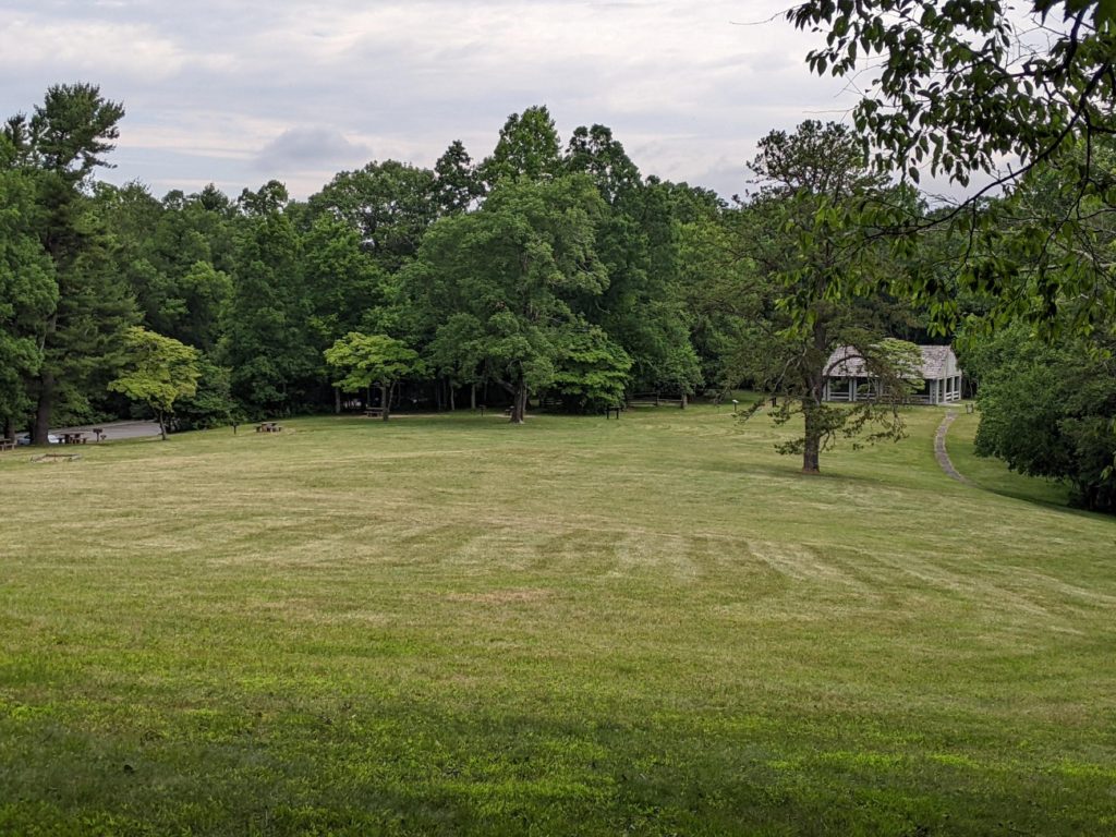
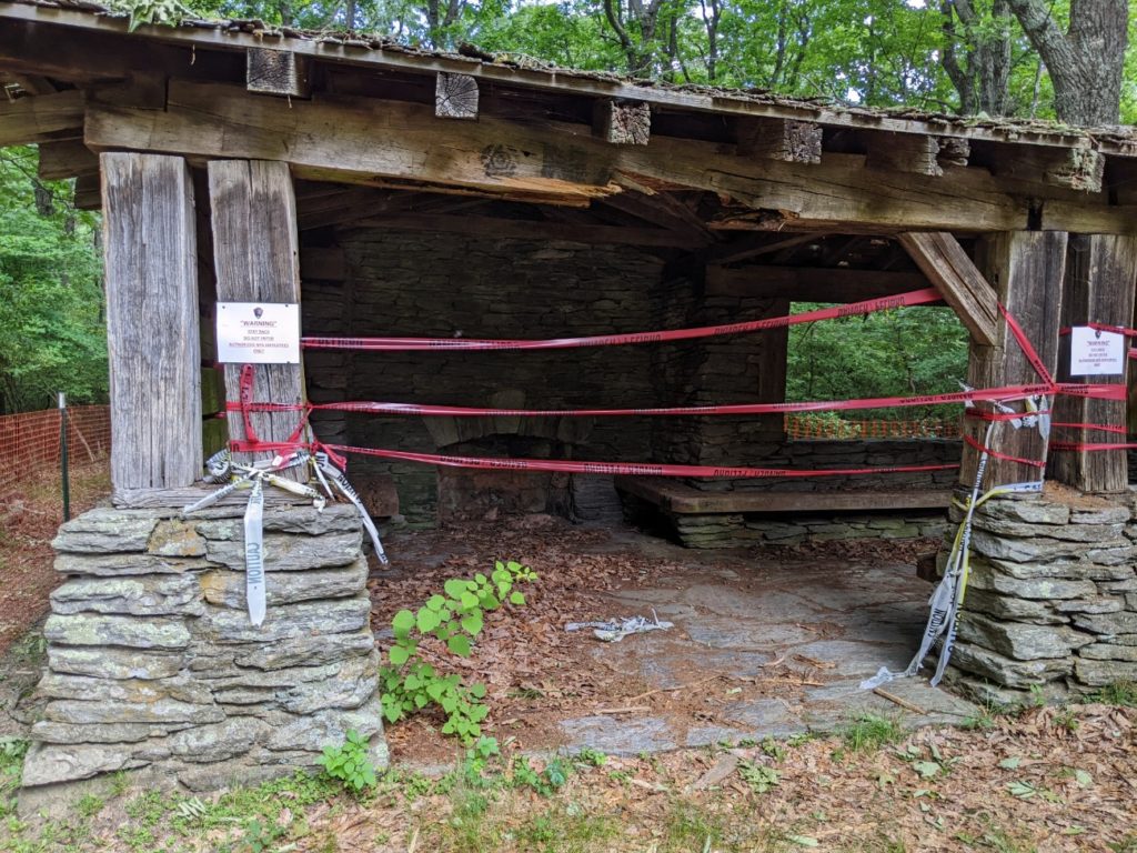
Cumberland Knob
The second good spot is Cumberland Knob, a large picnic field with a short hike to the top of the knob. There are no views there, just a run-down old shelter. But the bathrooms are nice and there are water fountains.
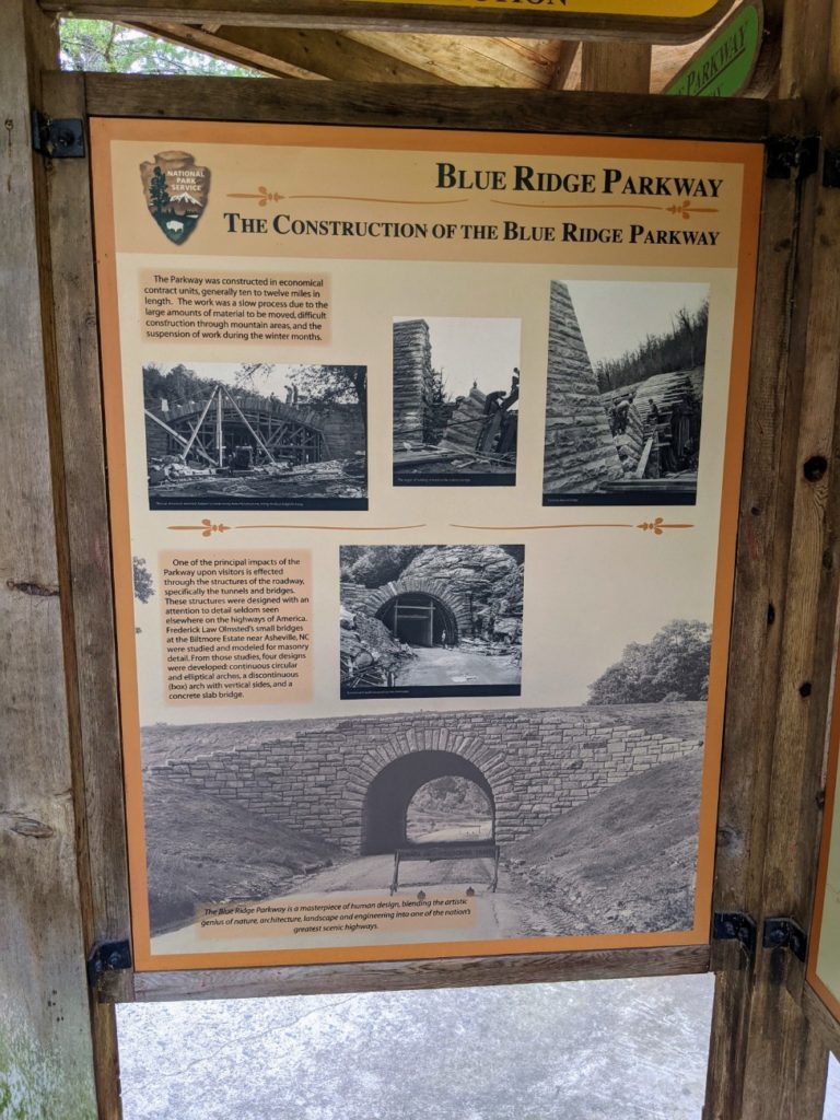
This is the spot where they started construction on the Blue Ridge Parkway, so there are some extra signs about the construction of the parkway here.

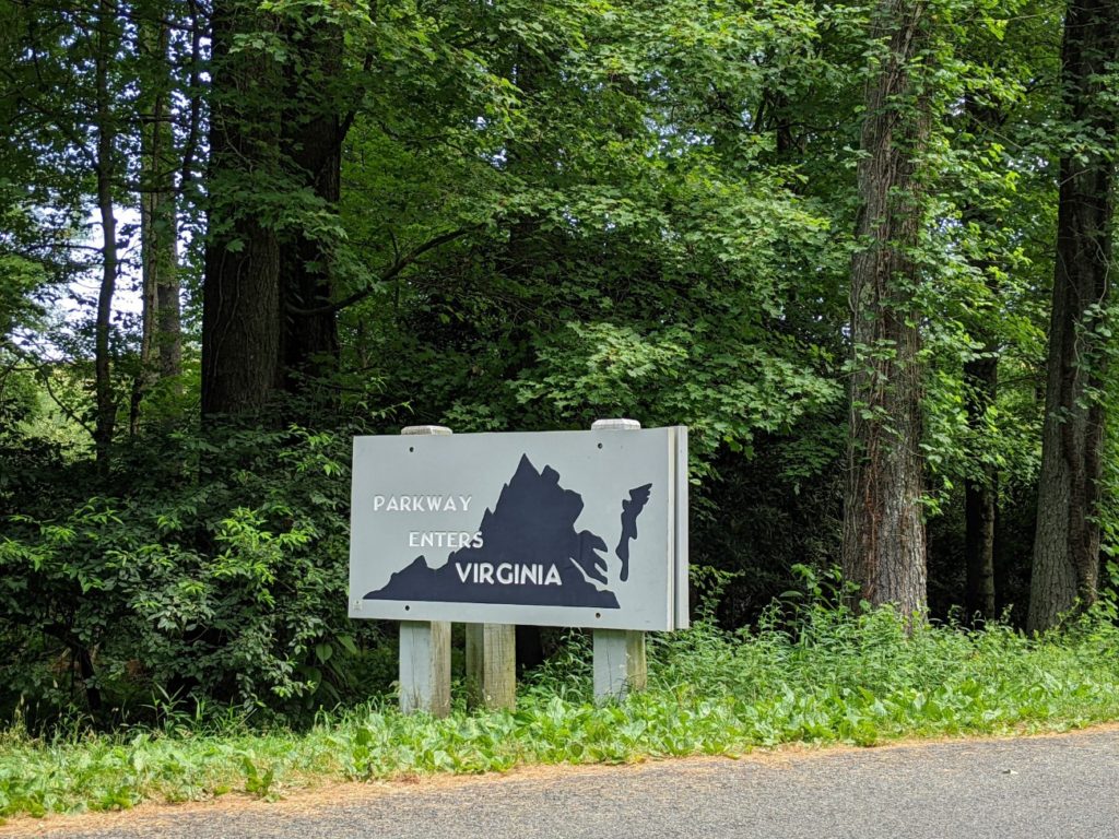
The NC/VA Border
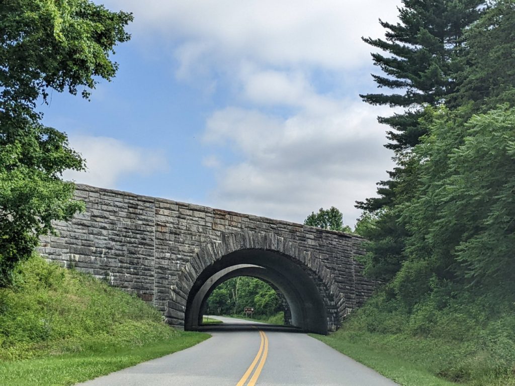
Just above Cumberland Knob is the state border into Virginia. The land around here gets flatter and you can see more neighborhoods from the parkway, which ruins it a bit, I think. But it’s still a pretty drive with trees overarching the road and stone bridges.

If you started this day around Linville, checked out the Linn Cove Viaduct and the Moses Cone Manor in the morning, and maybe lunch and an attraction or two in Blowing Rock, you might be on track for dinner at The Bluffs and to stop for the night in Mount Airy, NC. Alternately, you could skip Blowing Rock, eat a late lunch/early dinner at The Bluffs (maybe helped by a snack from the Northwest Trading Post), and land in Mount Airy early for some walking around. The point is to spend some time in Mount Airy before heading on to the Blue Ridge Music Center so that you don’t miss hearing the live mountain music that starts at noon.
I more or less started my day at the Blue Ridge Music Center, ate lunch in Mount Airy, then backtracked to the Music Center to hear the live music. The whole endeavor wasted a couple of hours and I didn’t get to see as much of Mount Airy as I could have otherwise.
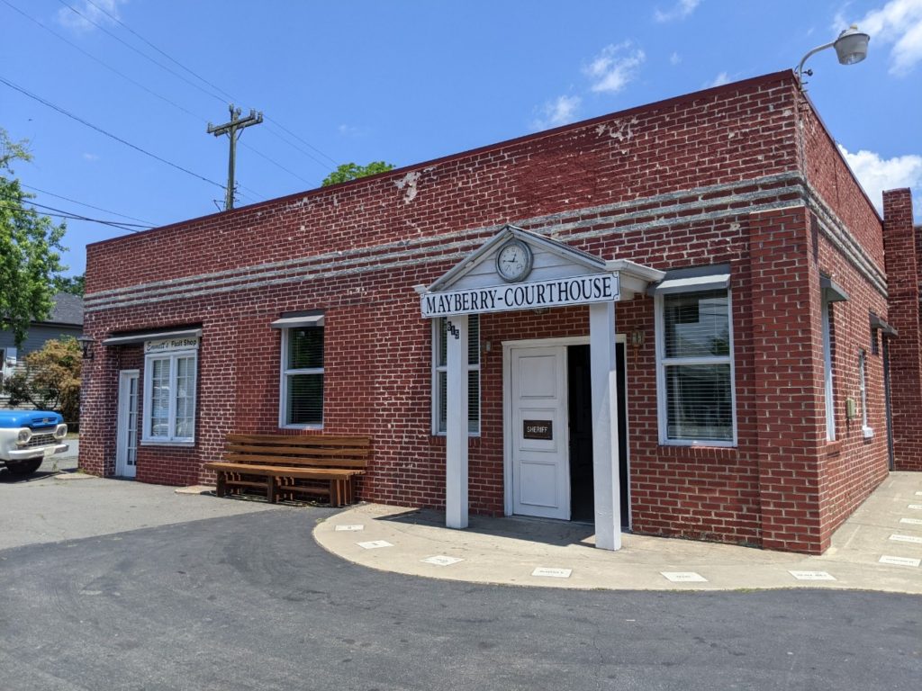
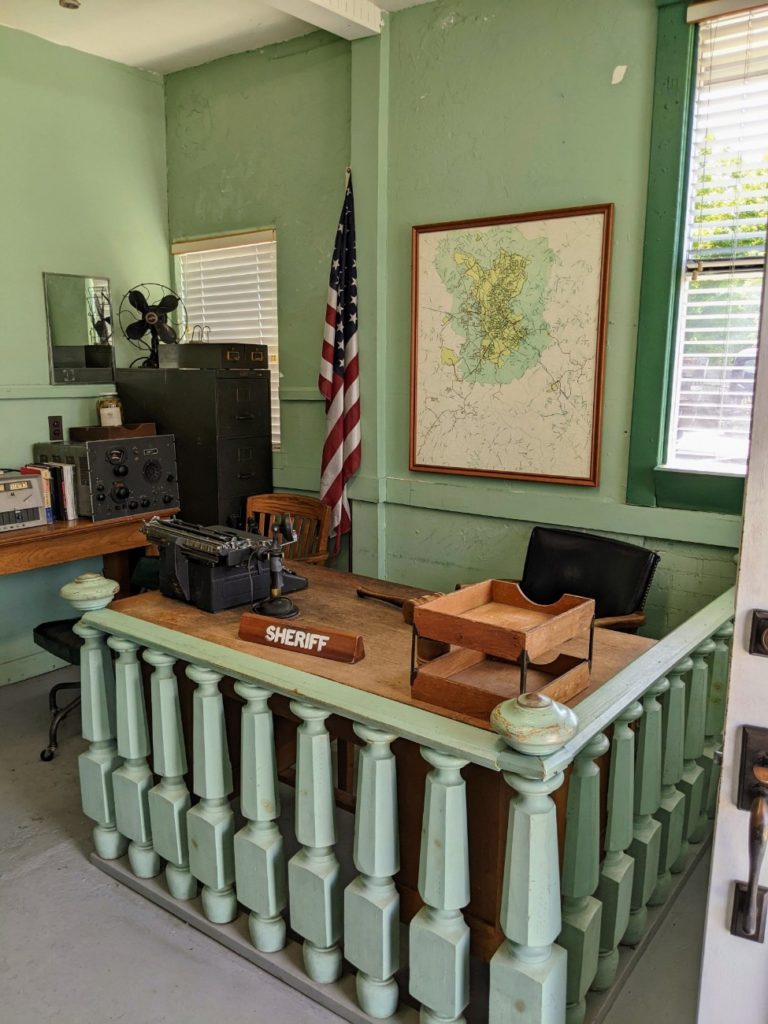
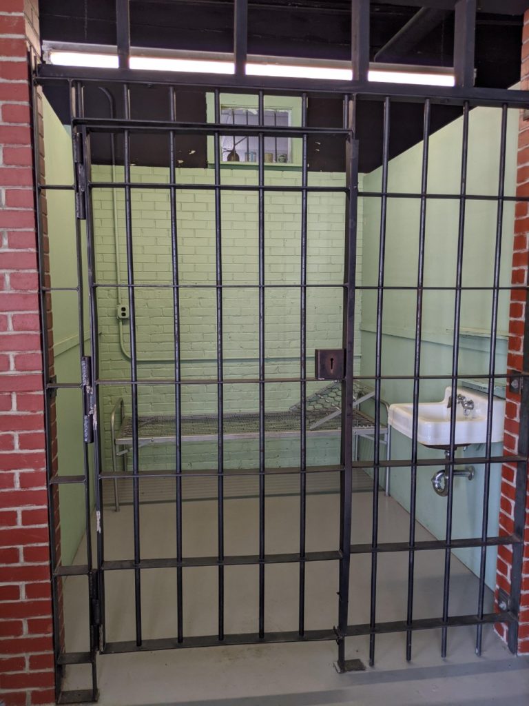
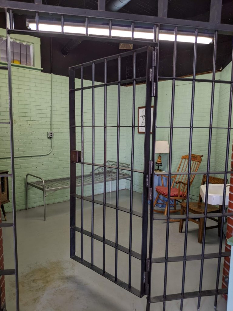
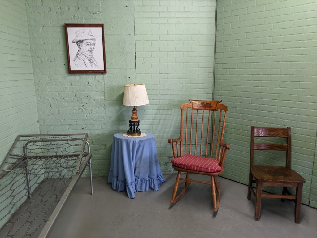
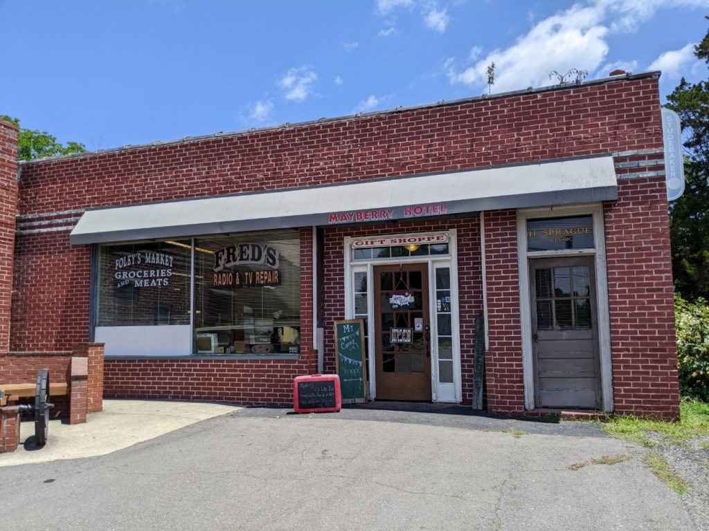
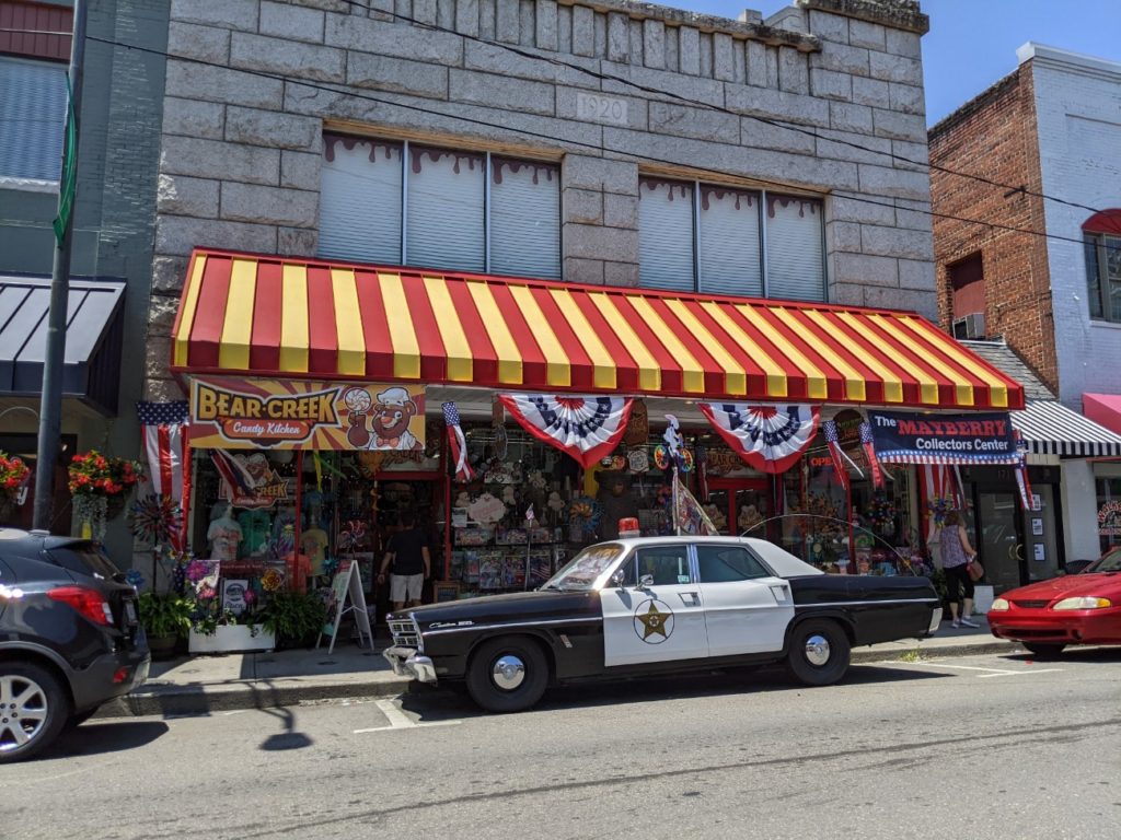
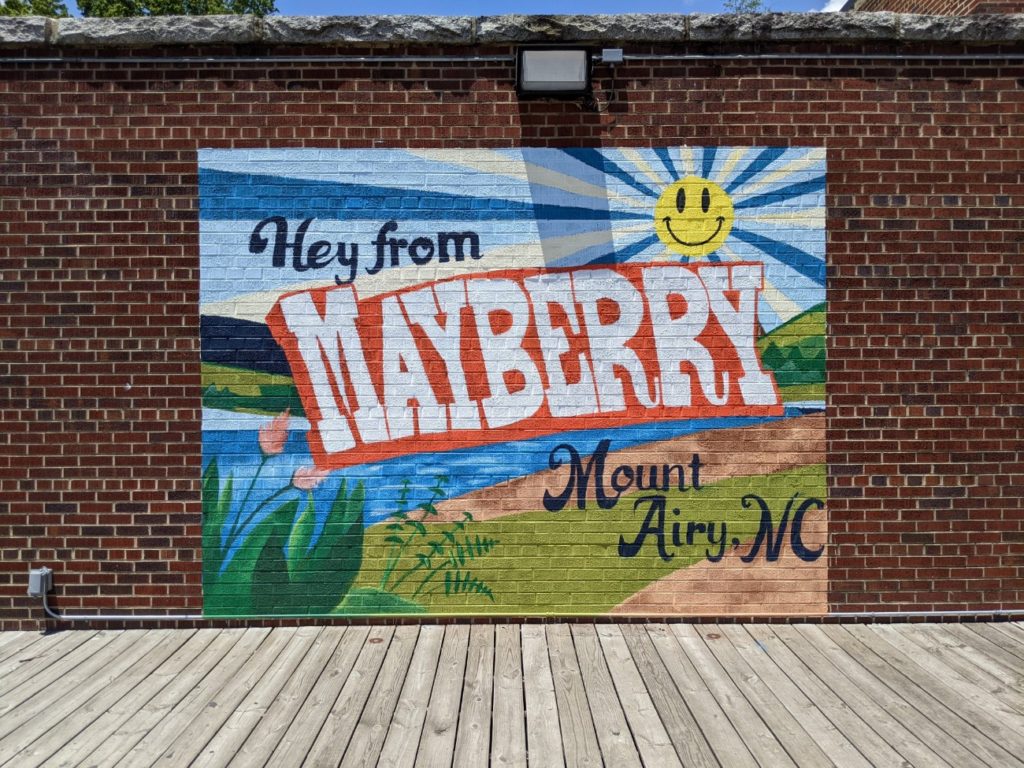
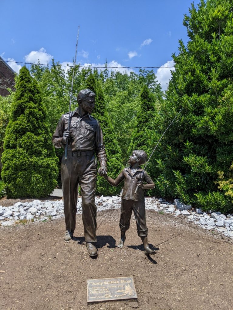
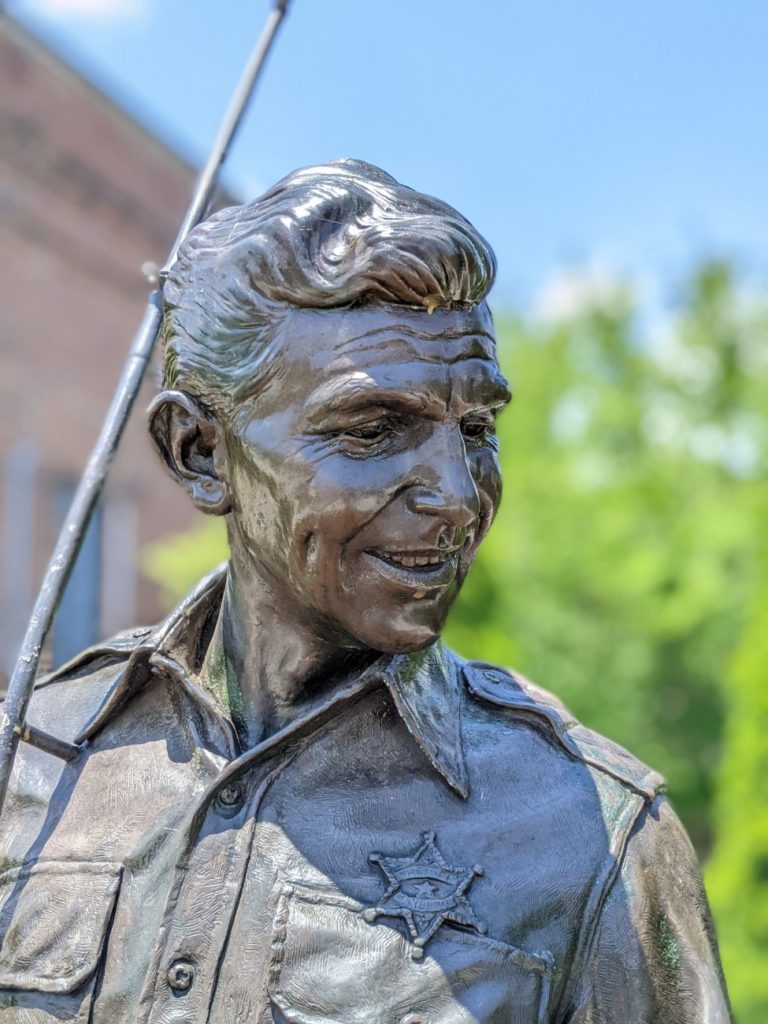
Mount Airy, NC
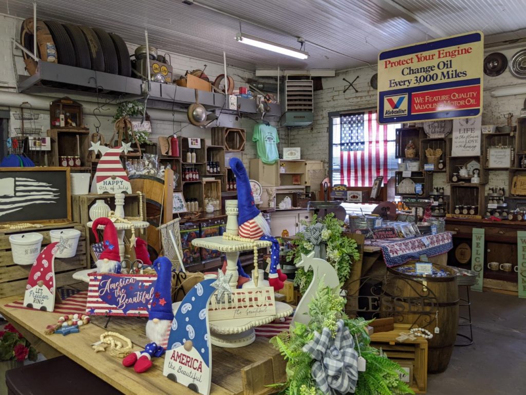
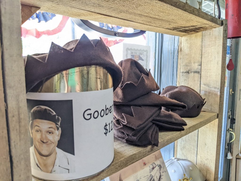
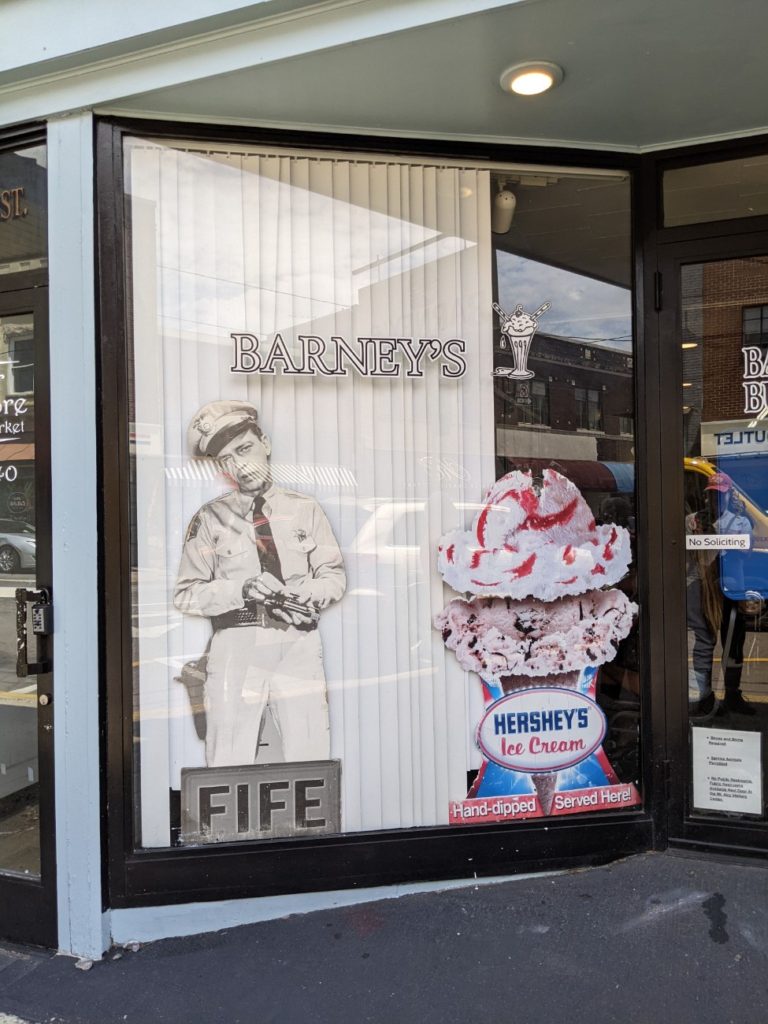
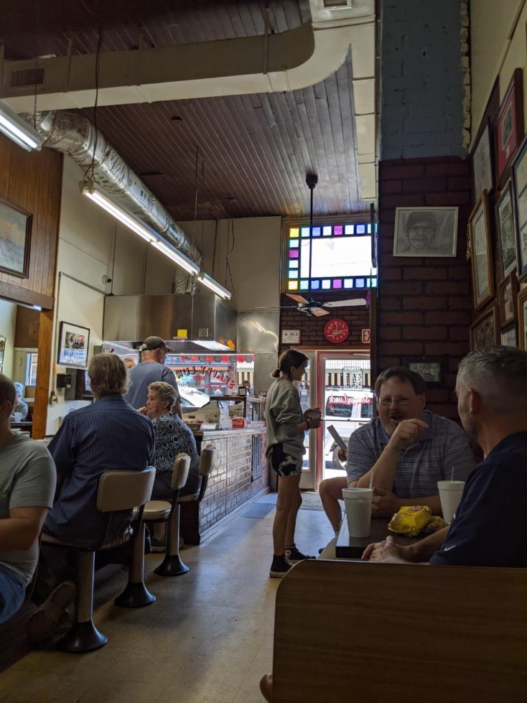
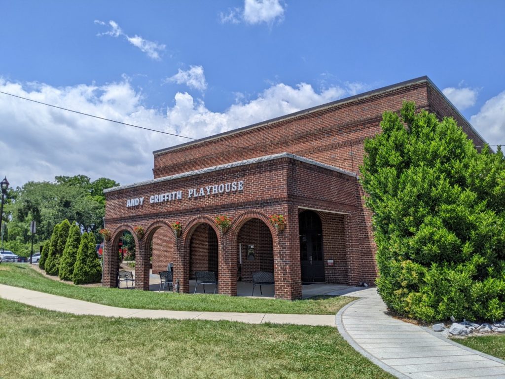
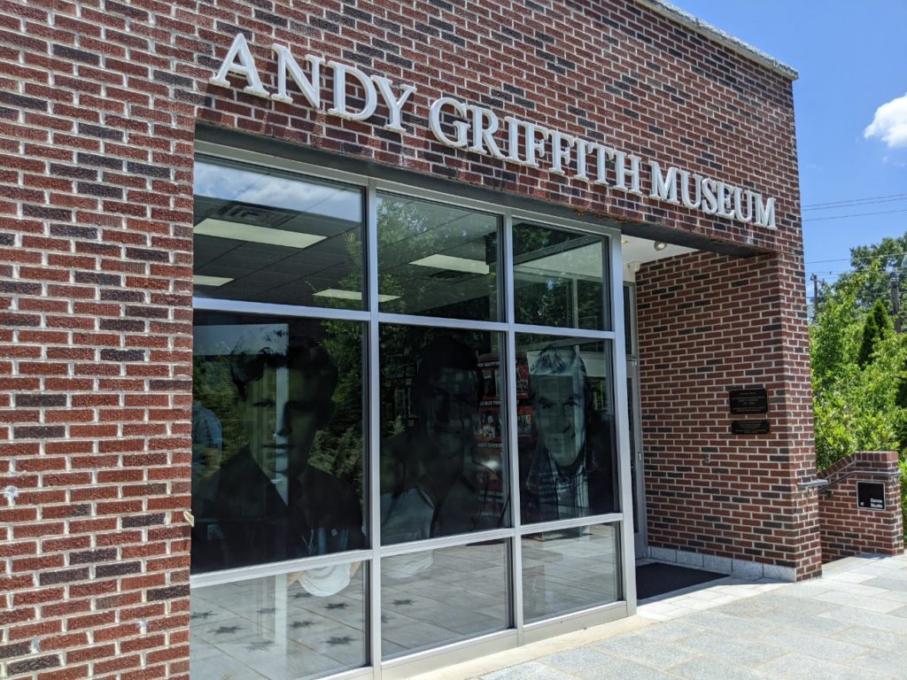
Even if you didn’t grow up with Andy Griffith on TV, Mount Airy is worth a visit. But if you did, Mount Airy is as close to Mayberry as you’ll ever get. The hometown of actor Andy Griffith features a courthouse/sheriff’s office/jail cells straight out of the show, with Wally’s Service Station right next door. They’re free to visit and great for photos. There’s an Andy Griffith Museum, an Andy Griffith Playhouse, Floyd’s Barbershop, Andy’s childhood home, and you can eat at the Snappy Lunch (I did, it was snappy!) And you can take a tour of the sights in an old police squad car! (For $50 per car load.)
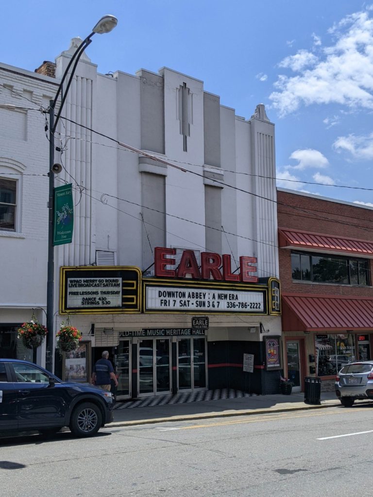
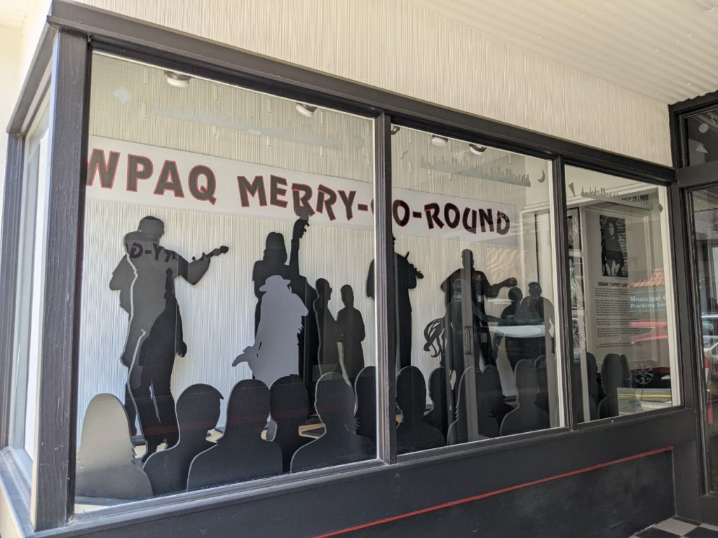
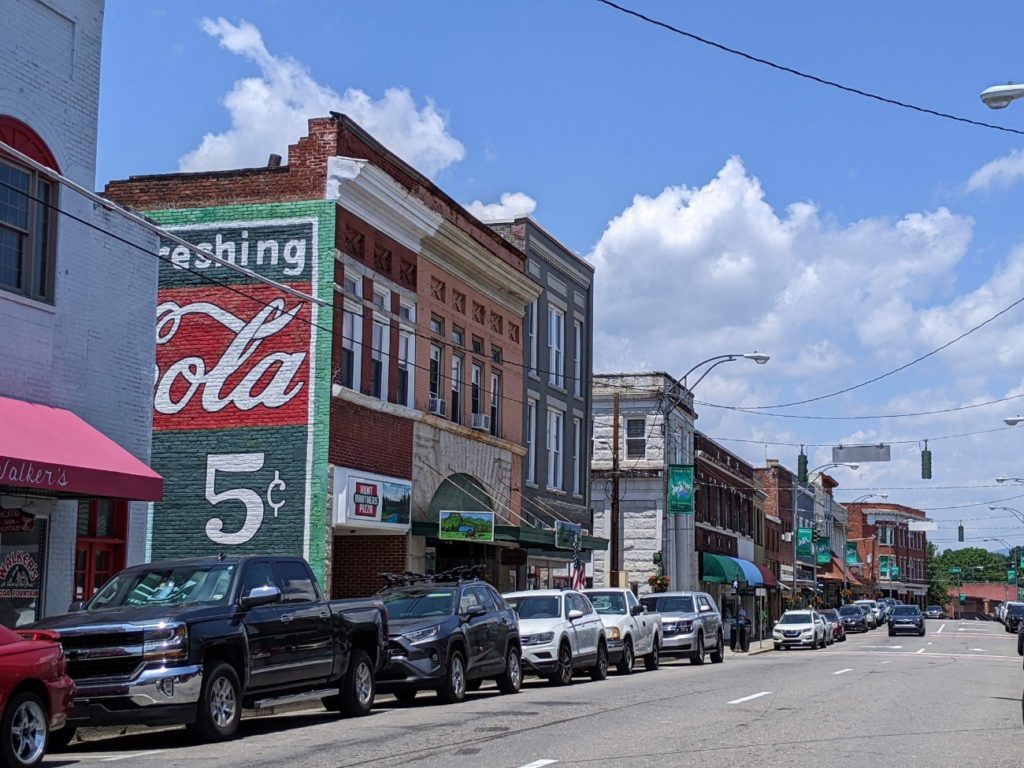
Besides the Andy Griffith/Mayberry stuff, there is a cute downtown with lots of shops and restaurants, the Mount Airy Museum of Regional History, and the Historic Earle Theater. Thursday nights at 7 pm, the Earle hosts a free jam session and every Saturday at 11 am is the taping of an old-time music radio show. The $8 admission for the taping includes the Andy Griffith Museum. The downtown area is pretty self-contained to one strip, but the Andy Griffith stuff is down the street a few blocks. It’s an easy walk but there is also plenty of parking.


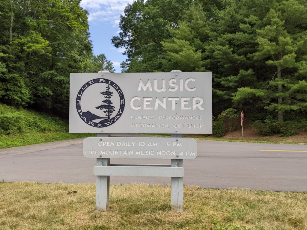
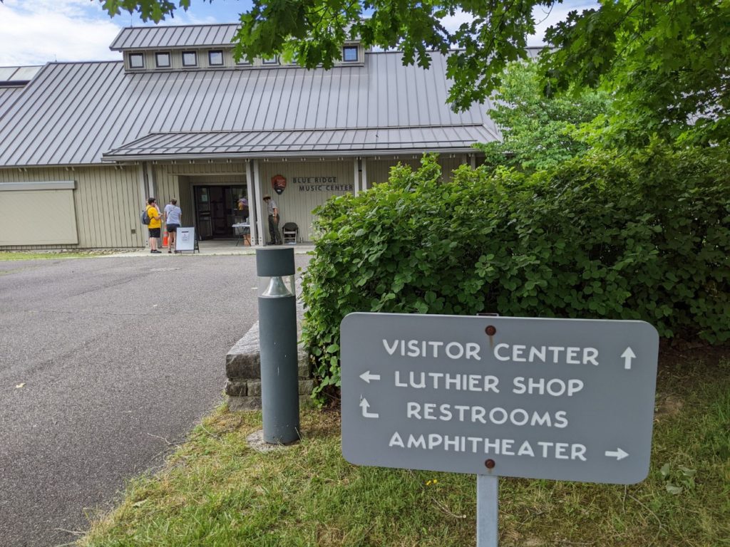
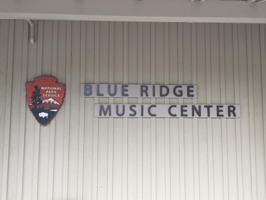
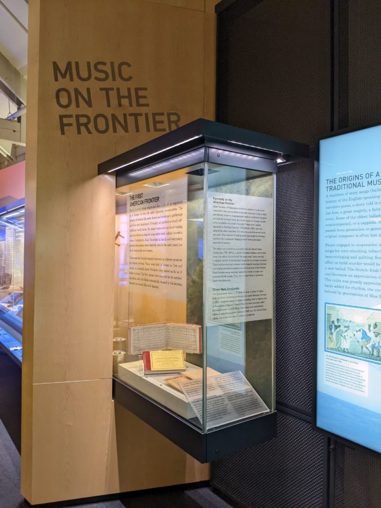
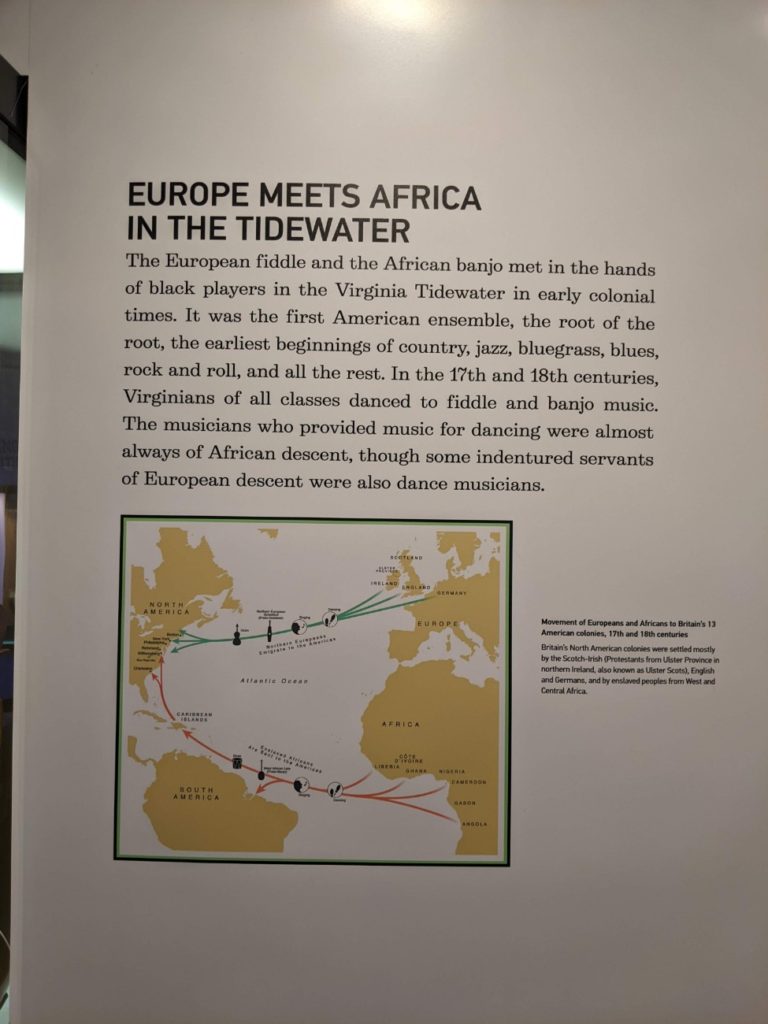
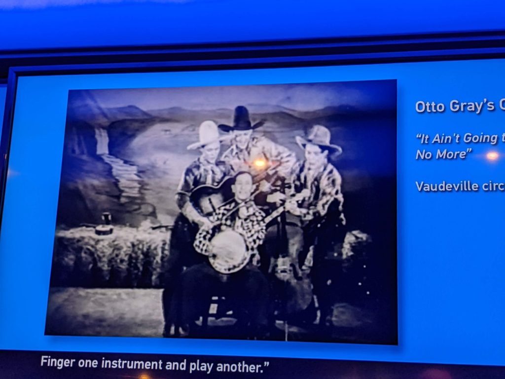
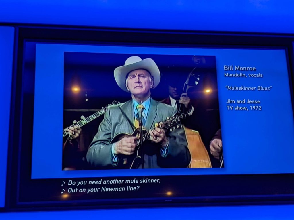
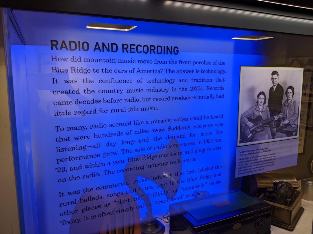
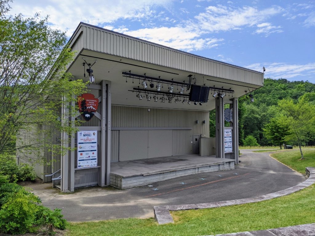
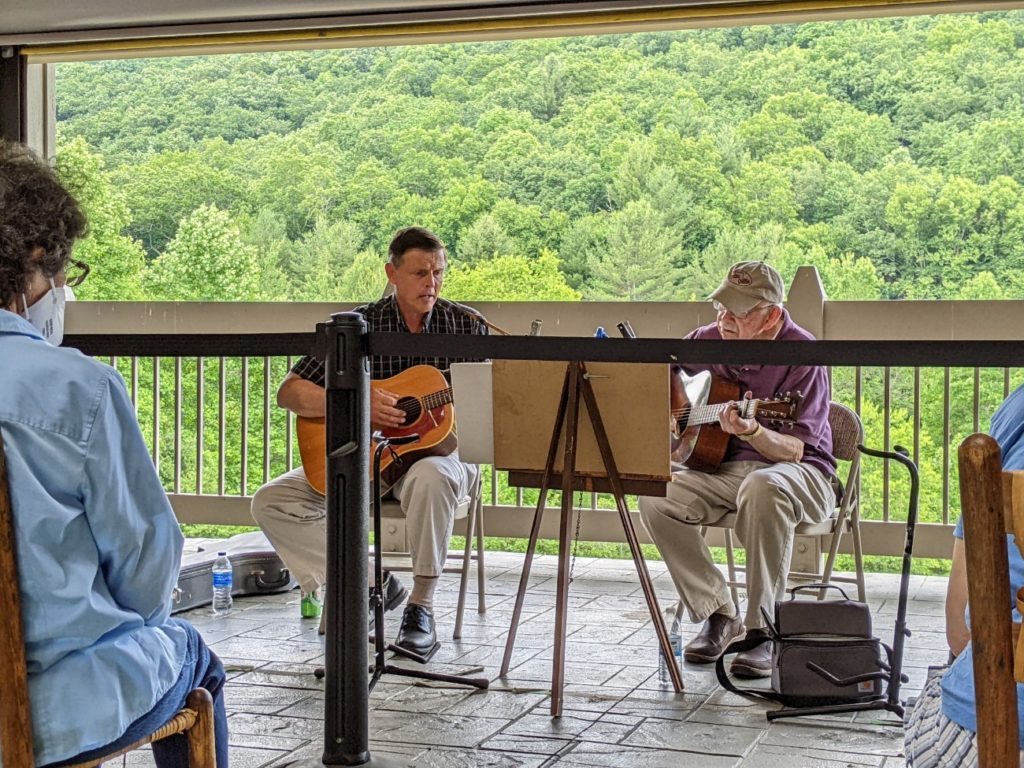
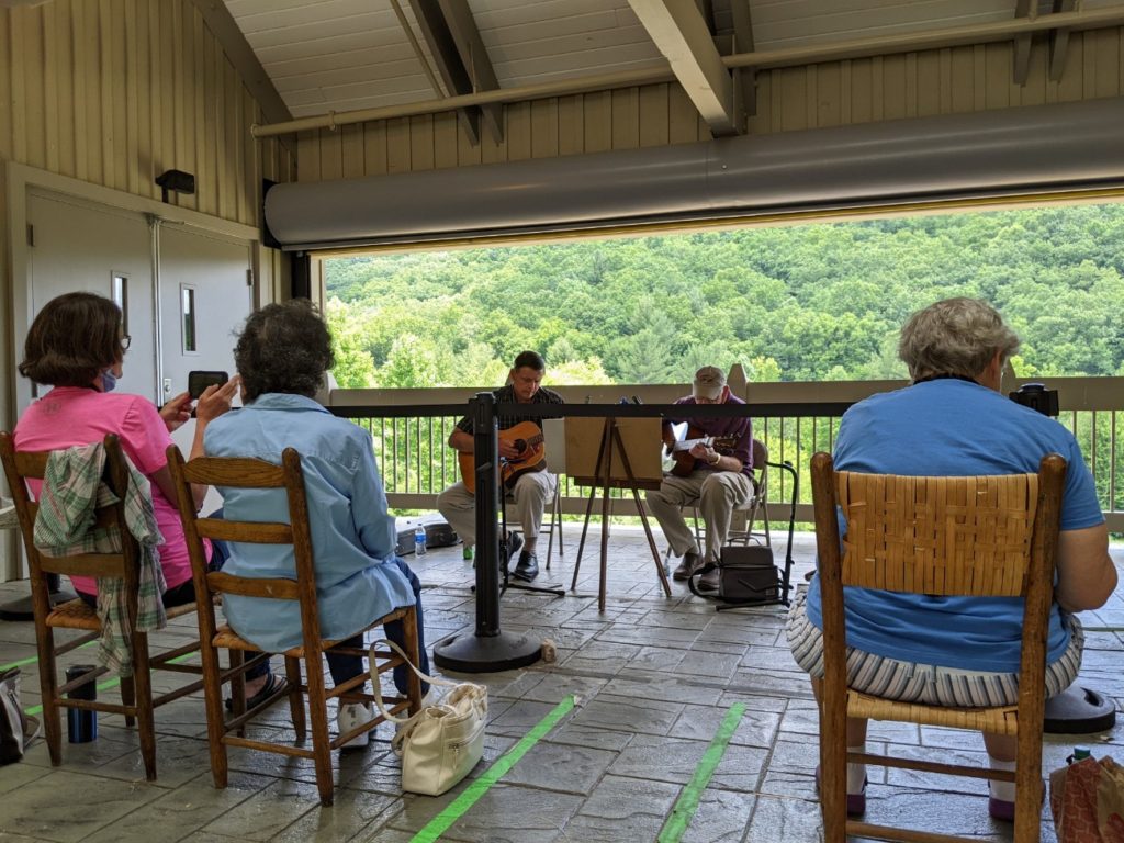
Blue Ridge Music Center
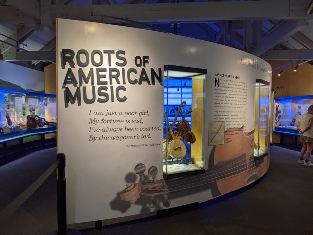
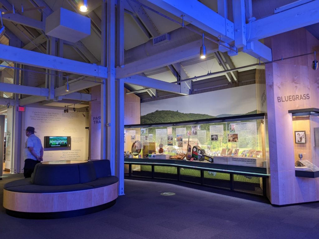
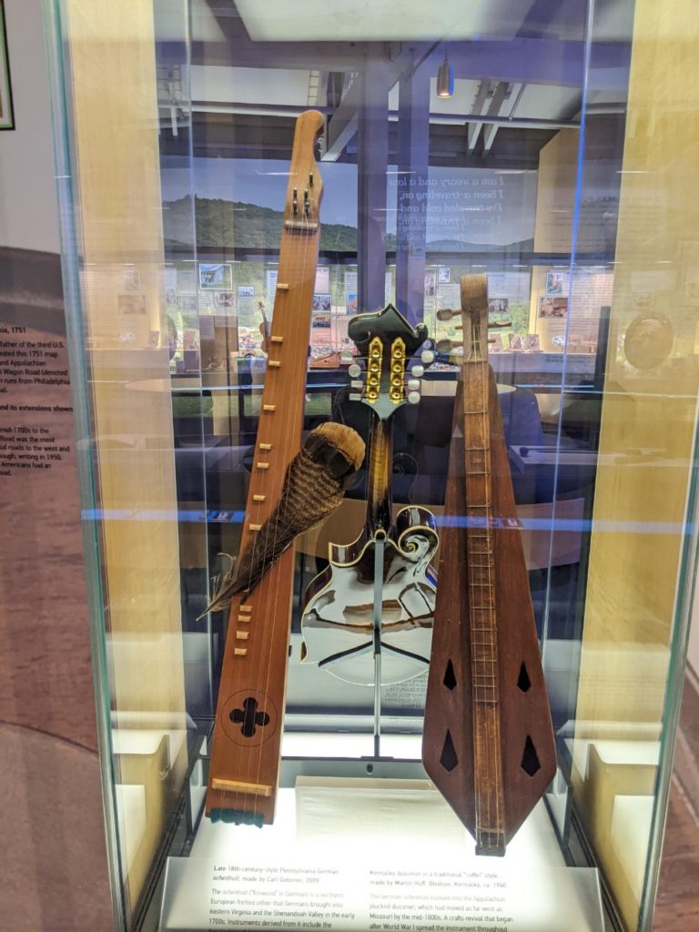
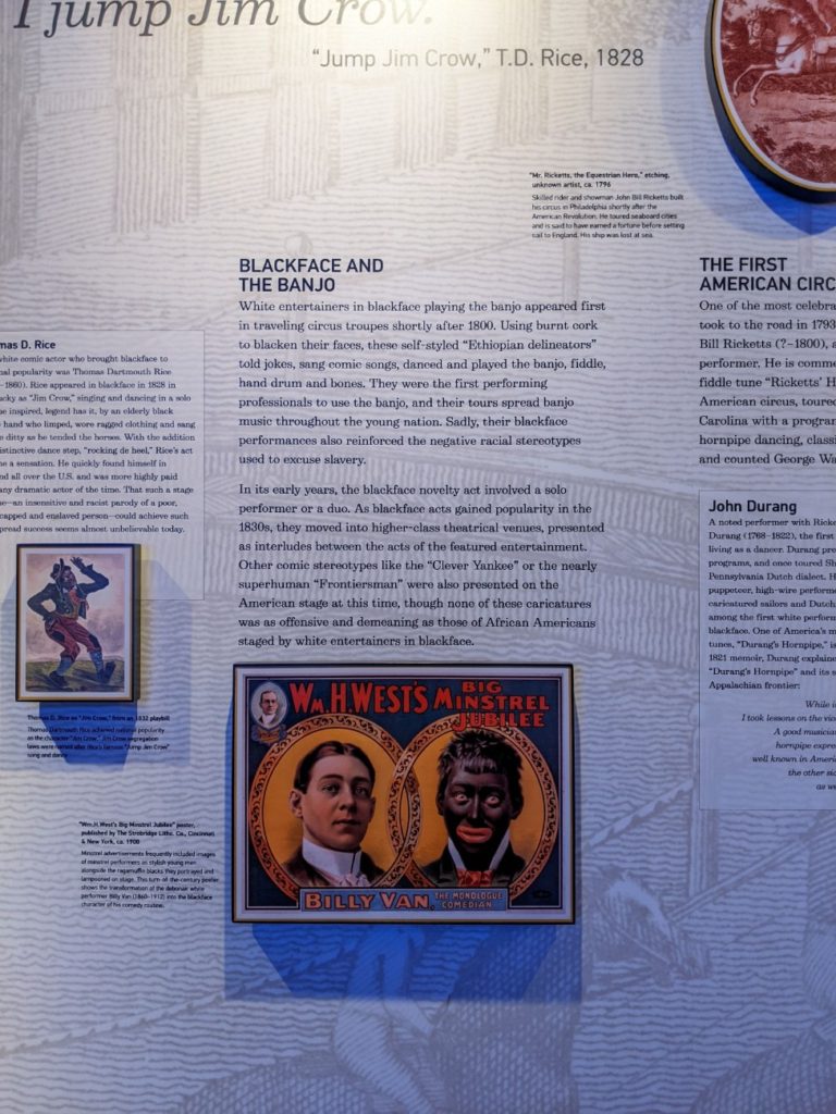
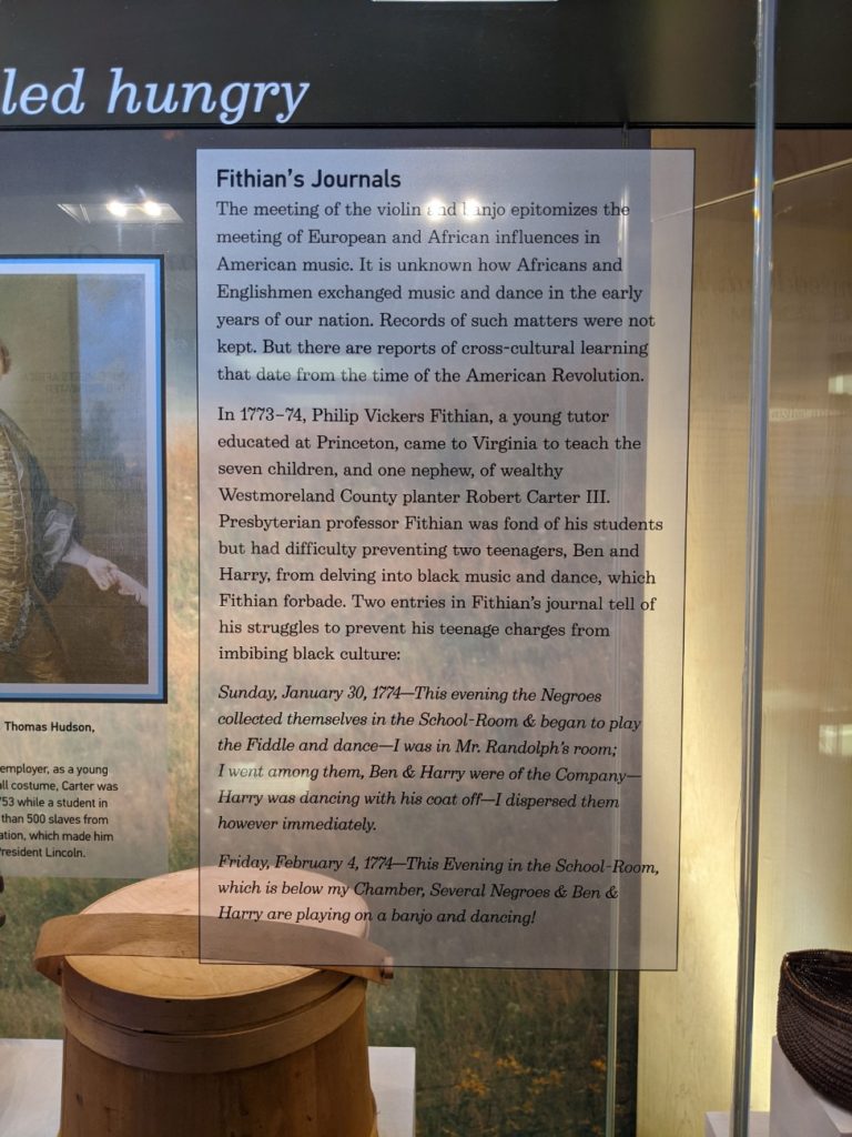
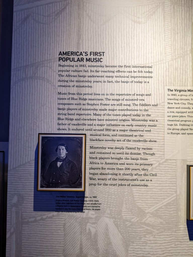
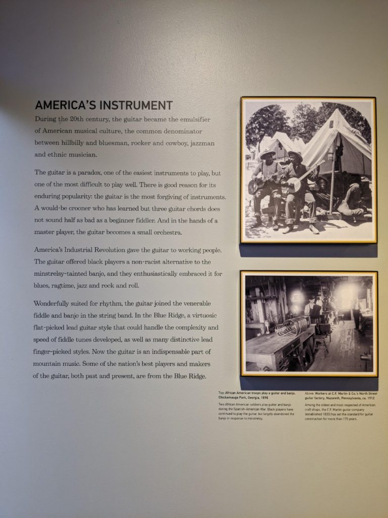
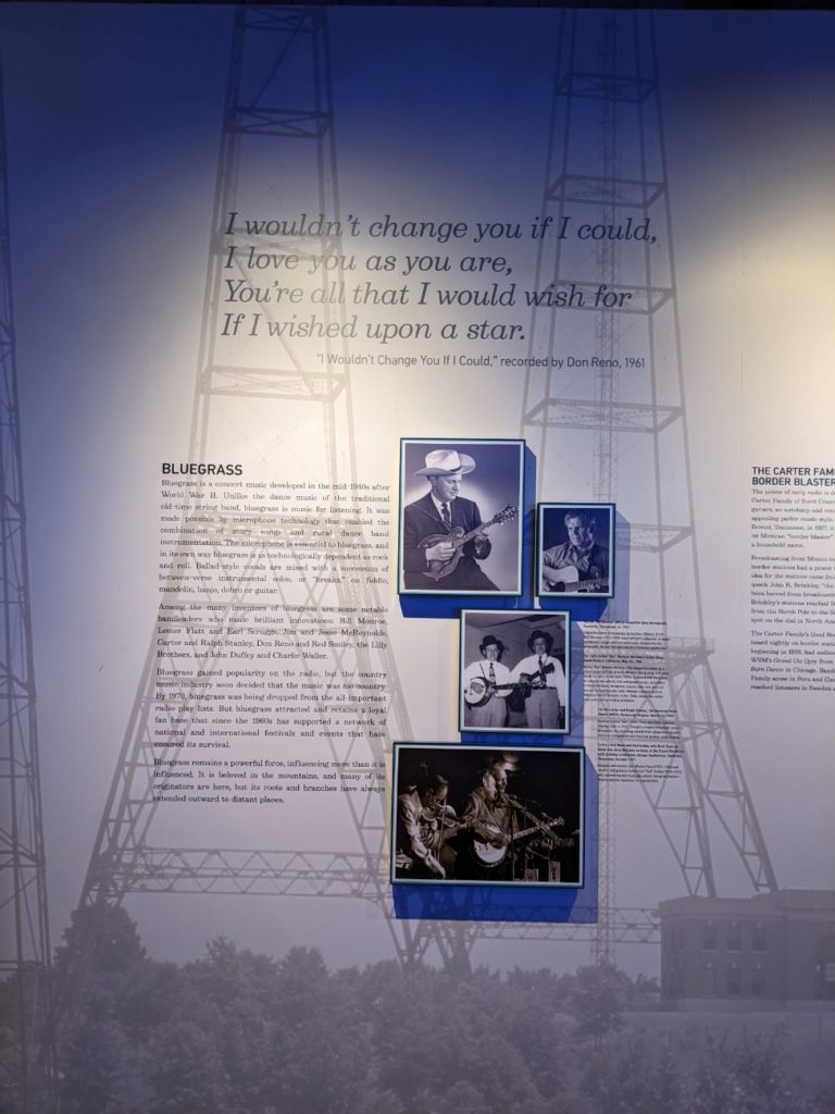
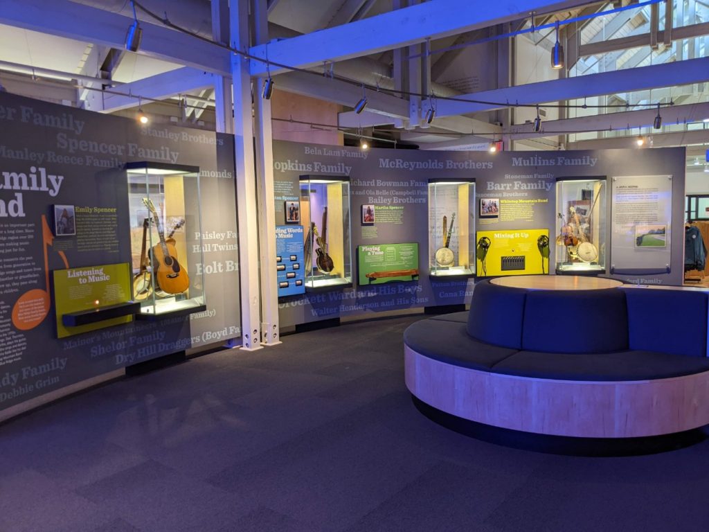
Back on the Blue Ridge Parkway, a must-see is the Blue Ridge Music Center. Just past the state border into Virginia, this museum dedicated to Appalachian music features a lot of push-button music examples and an easy-to-follow timeline from traditional music sung at home with homemade instruments to the popularity and radio boom of bluegrass and country music as a uniquely American art form. I really enjoyed a large display in the back that has two screens where you can call up different video clips.
Live Music
The Music Center also features a music & gift shop, and large bathrooms. And while the Center is open from 10-5 every day, there is live music daily from noon-4 pm. I highly recommend making an effort to visit while the live music is on, which means you might want to arrive at 11:30 am at the earliest, to tour the museum and then listen to the real thing. There are also some short meadow trails around the center if you have more time to kill. The longest loop is about 2 miles. A large Amphitheater hosts outdoor concerts on evenings throughout the year. Tickets for events are in the $20-40 range. Make sure to pick up a brochure here of all the music available on the Blue Ridge Parkway.
I only wish they sold all the music used in the museum as a set to take with you, so you can listen to the whole songs at your leisure. My biggest regret is that I bought a 2-disc compilation of ballads that were seriously all about death and murder. It wasn’t quite what I was after. The songs in the museum aren’t all like that.


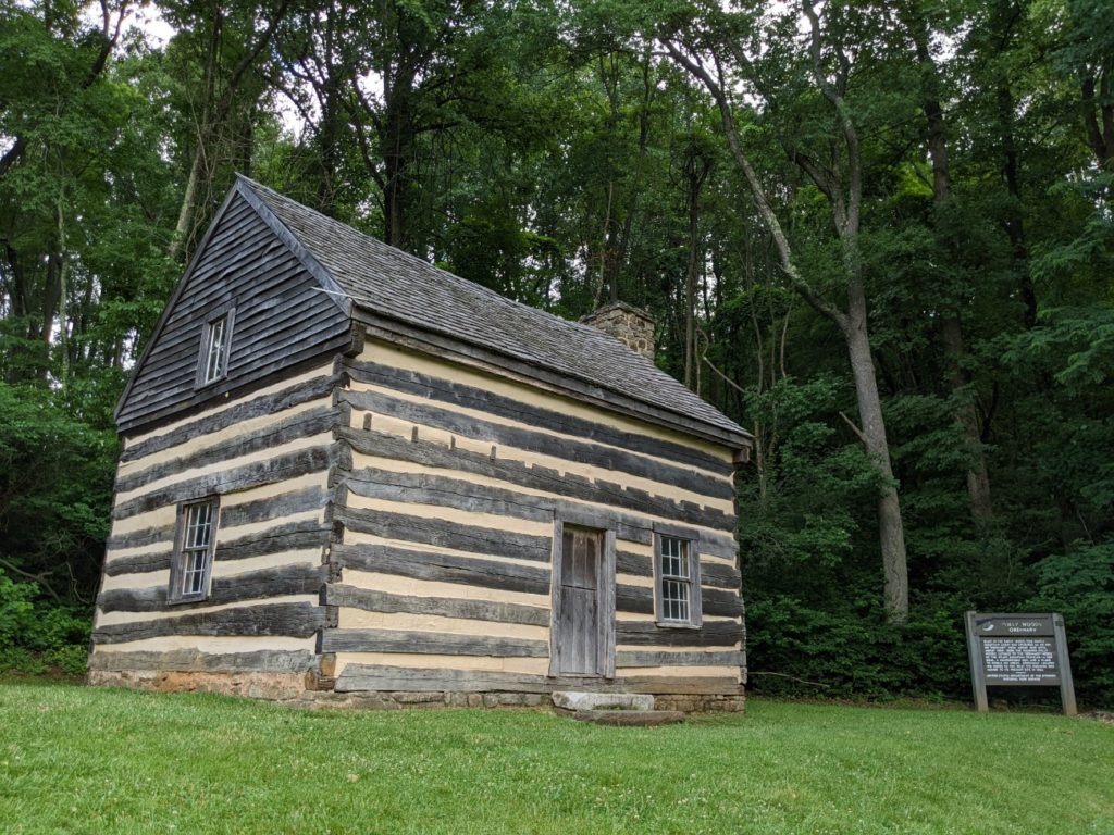
Puckett Cabin
A few miles north of the Blue Ridge Music Center and Mount Airy is a small cabin once belonging to Aunt Orleana Hawks Puckett, a renowned area midwife. She helped birth over 1000 babies, while none of her own 24 children survived infancy.

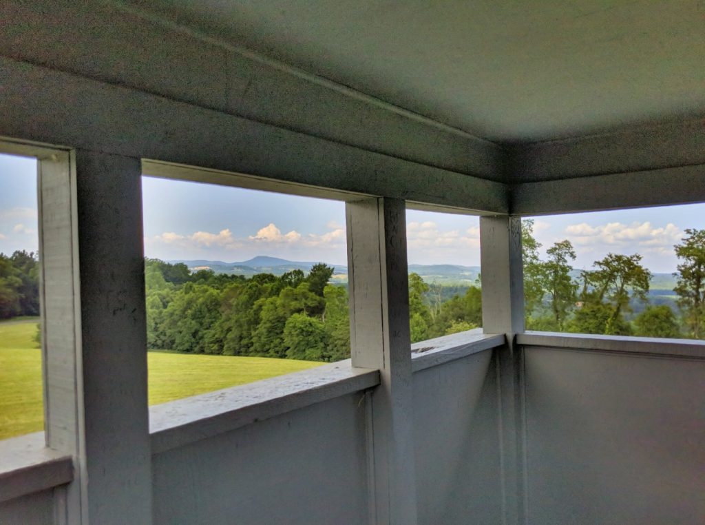
Groundhog Mountain & Observation Tower
The area in southern Virginia is far less mountainous than the rest of the Blue Ridge Parkway. So Groundhog Mountain/Hill features an observation tower that allows for a better view of the surrounding countryside.


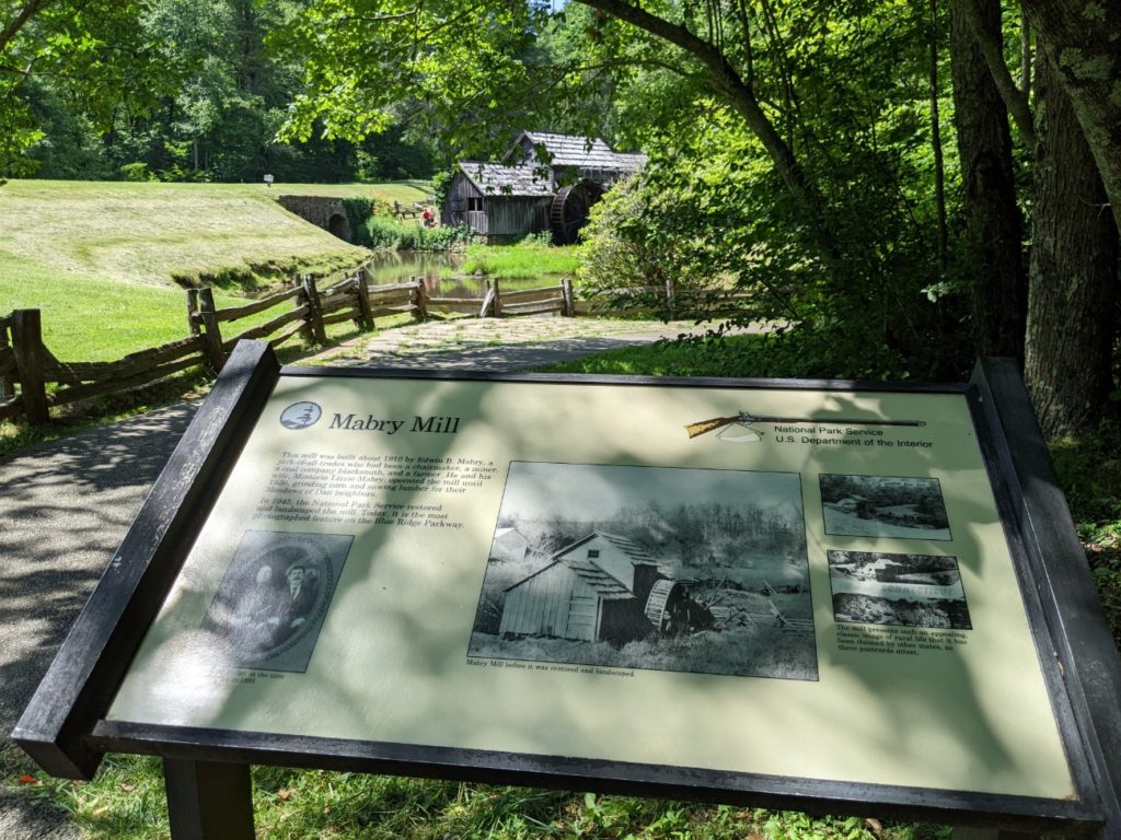
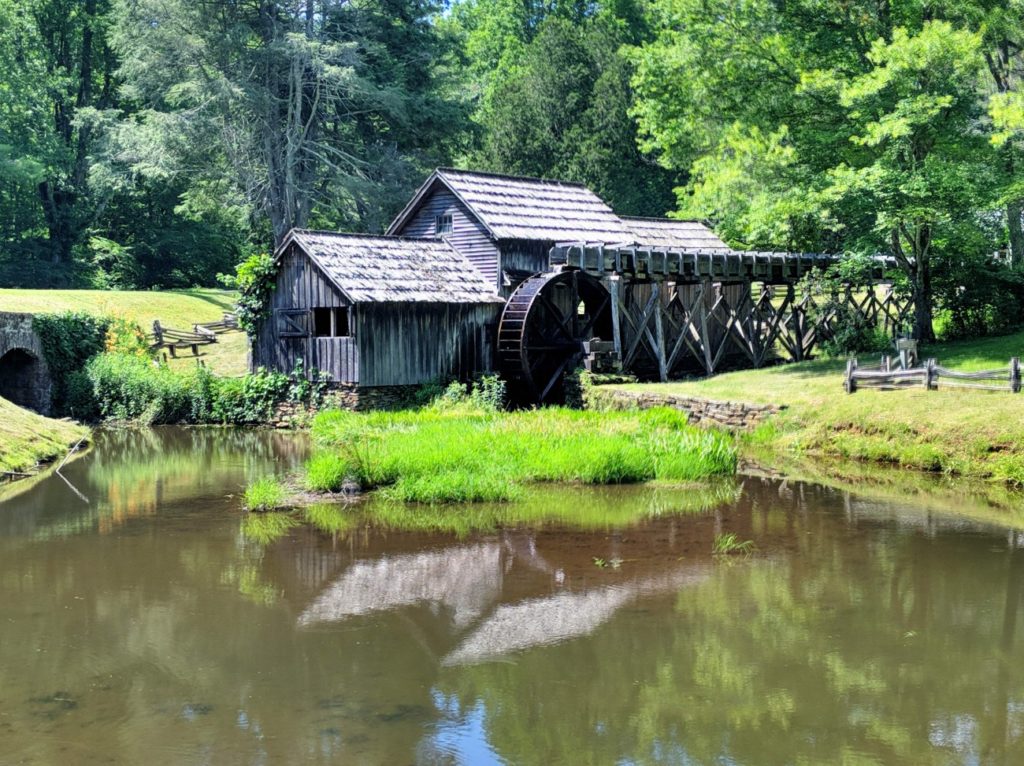
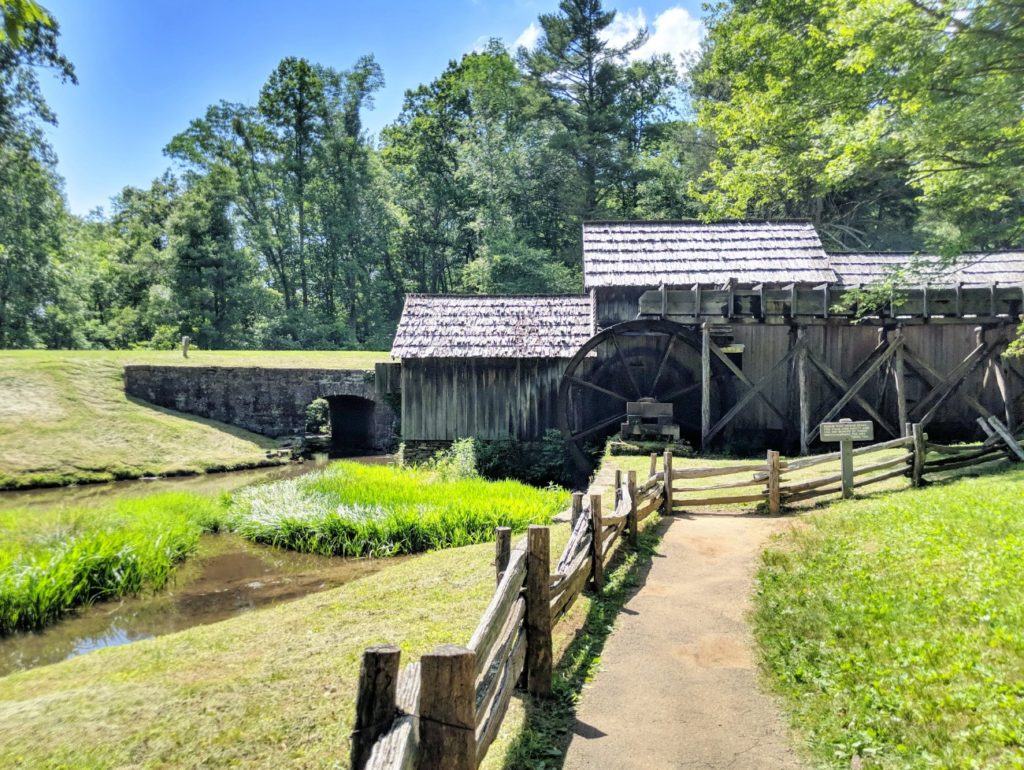
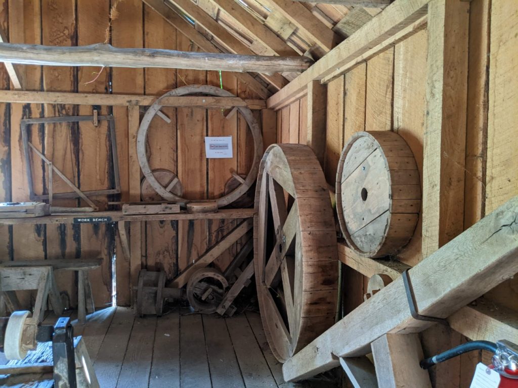
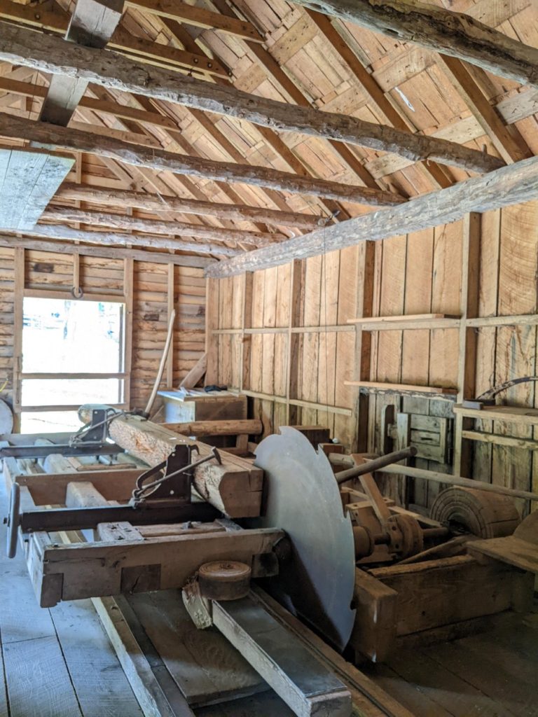
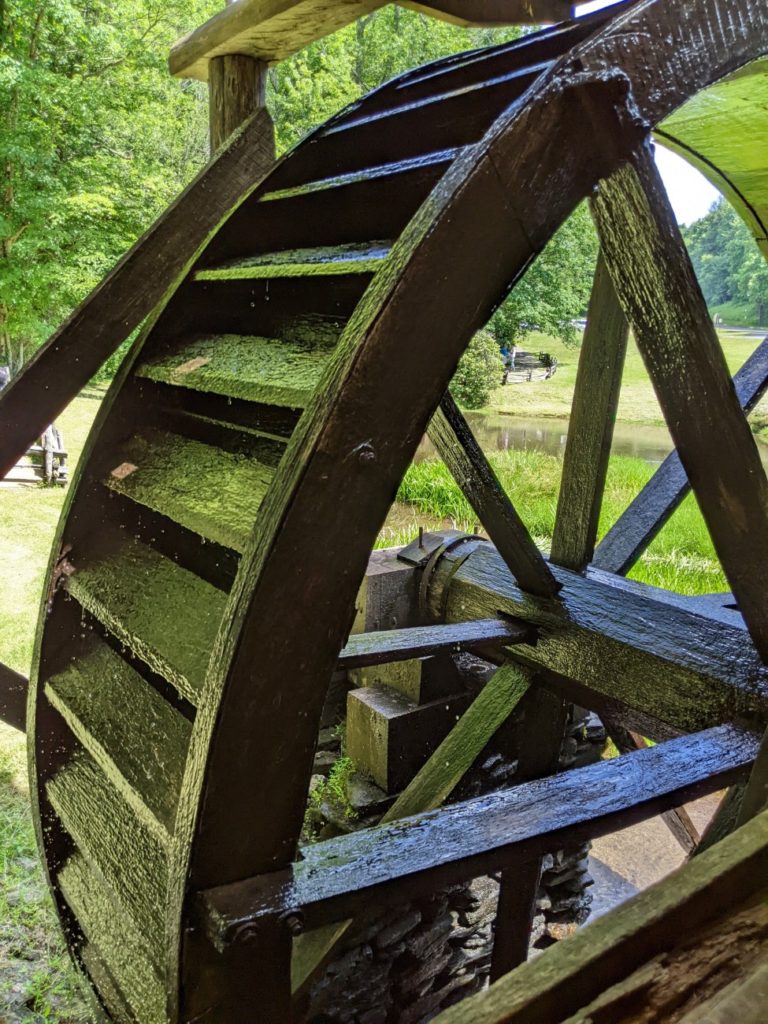
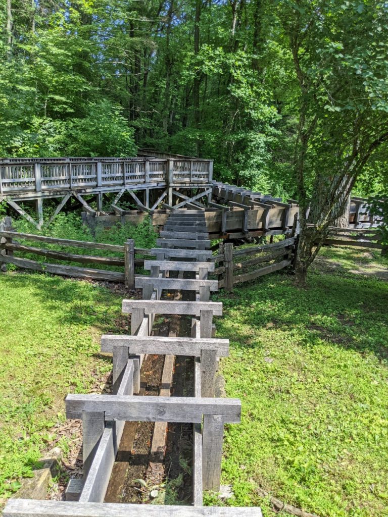
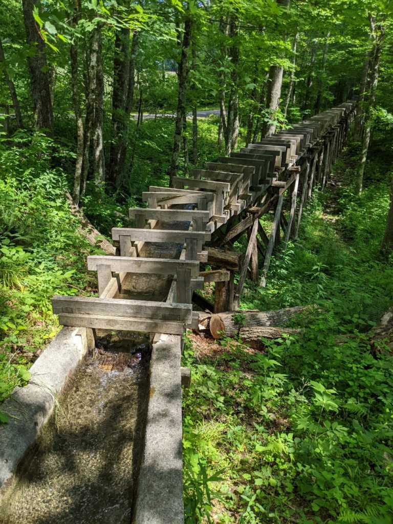
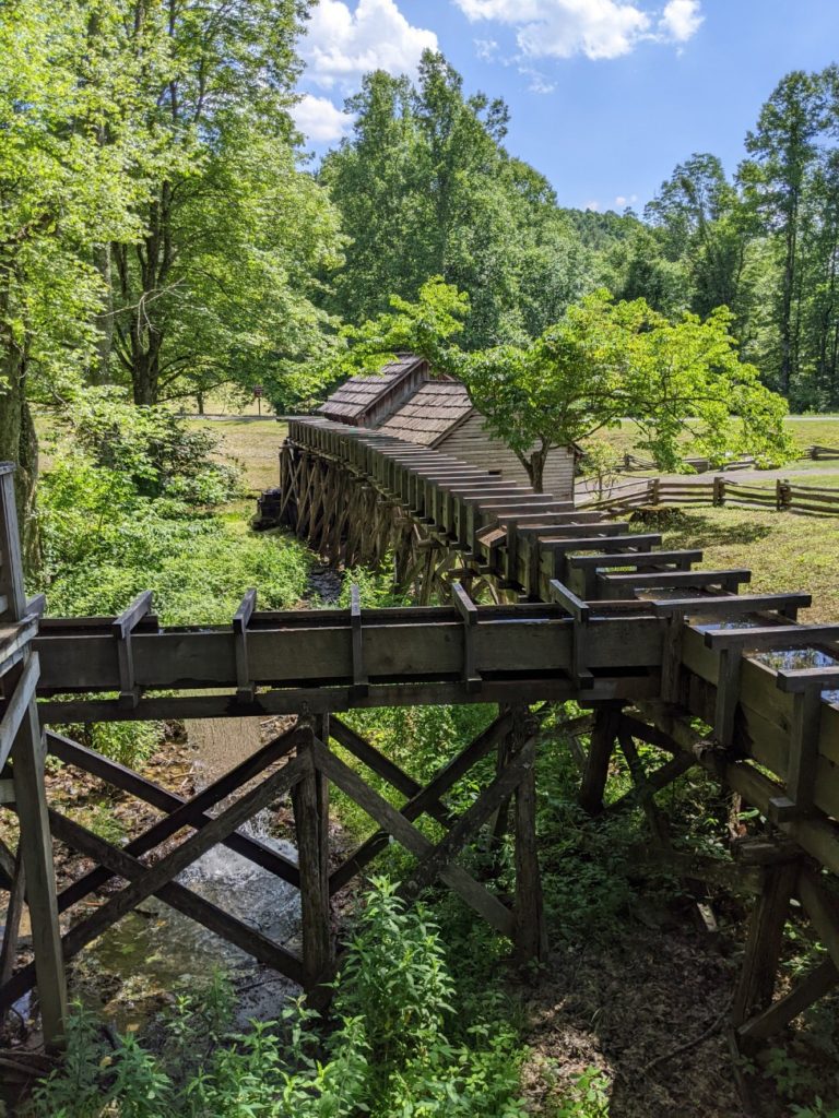
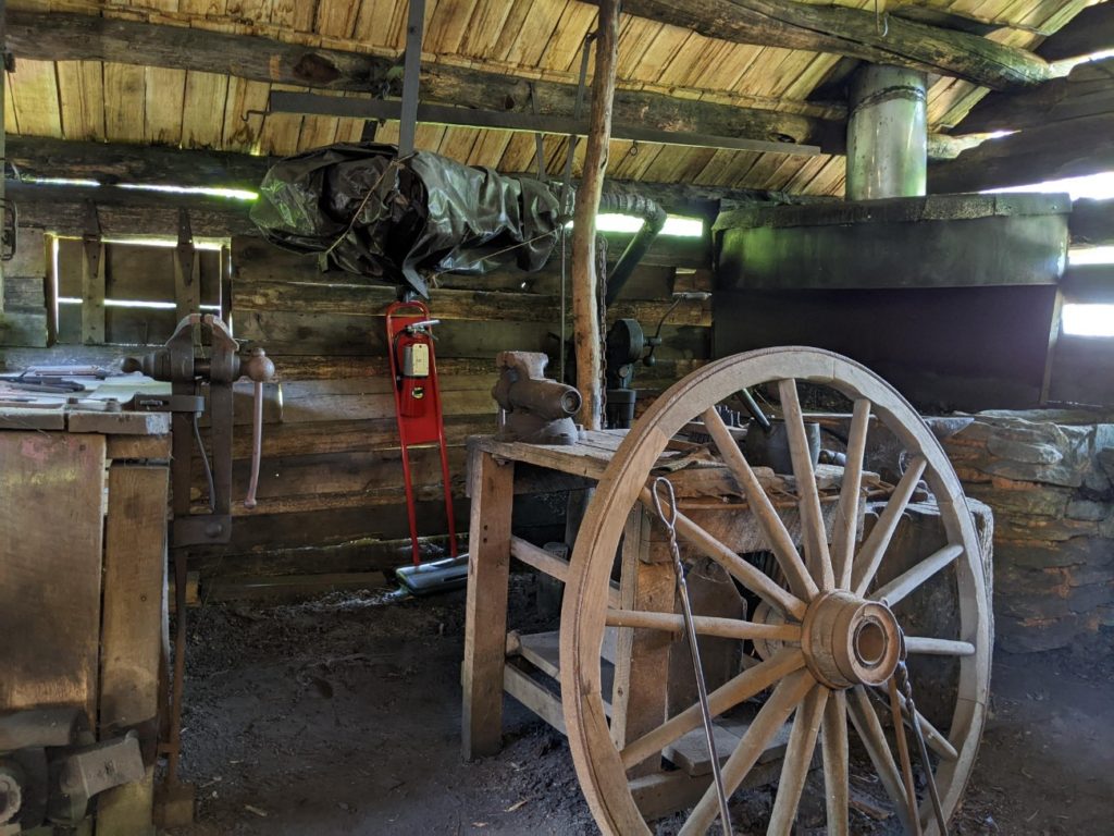
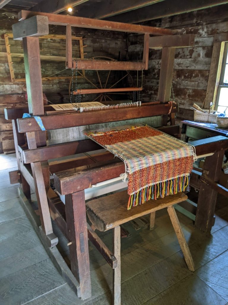
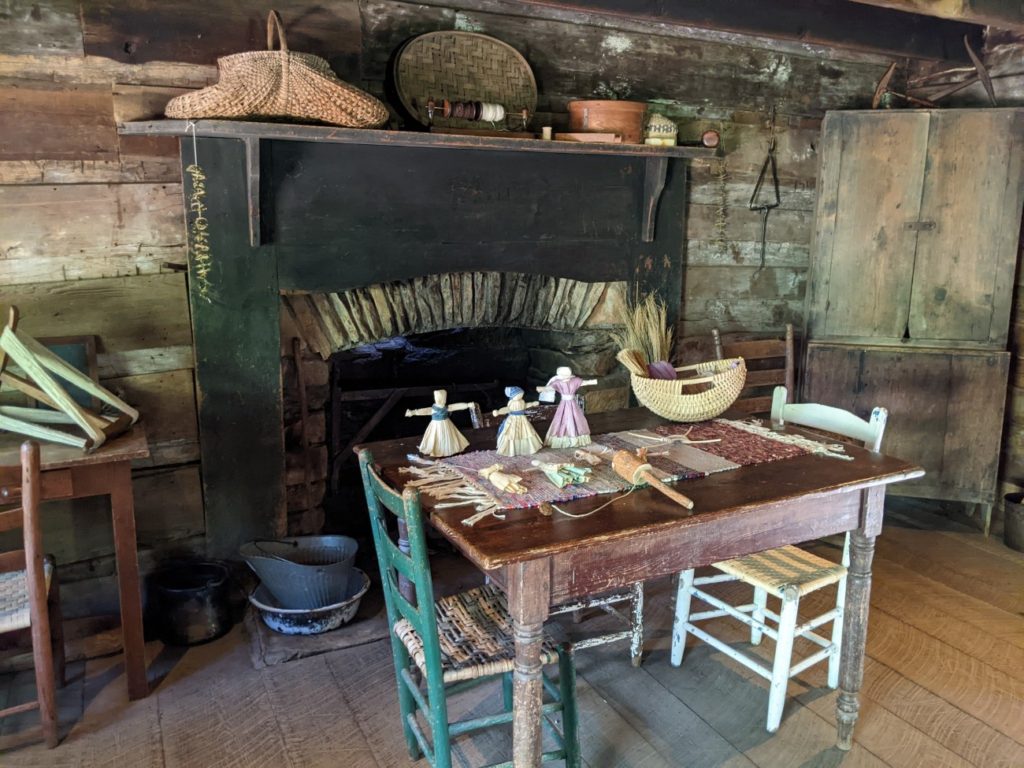
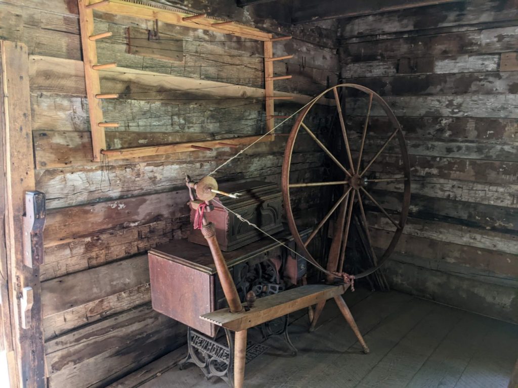
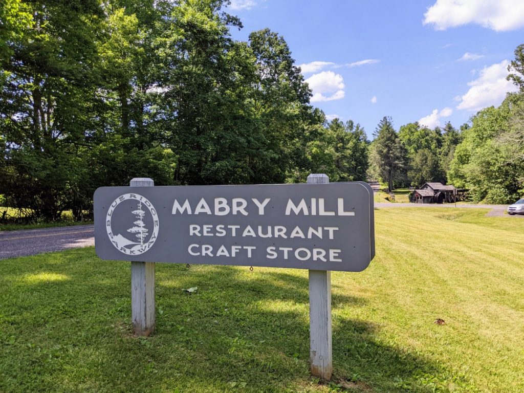
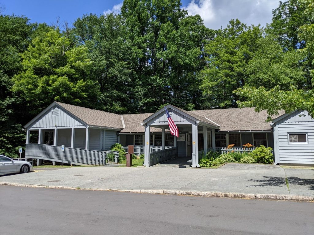
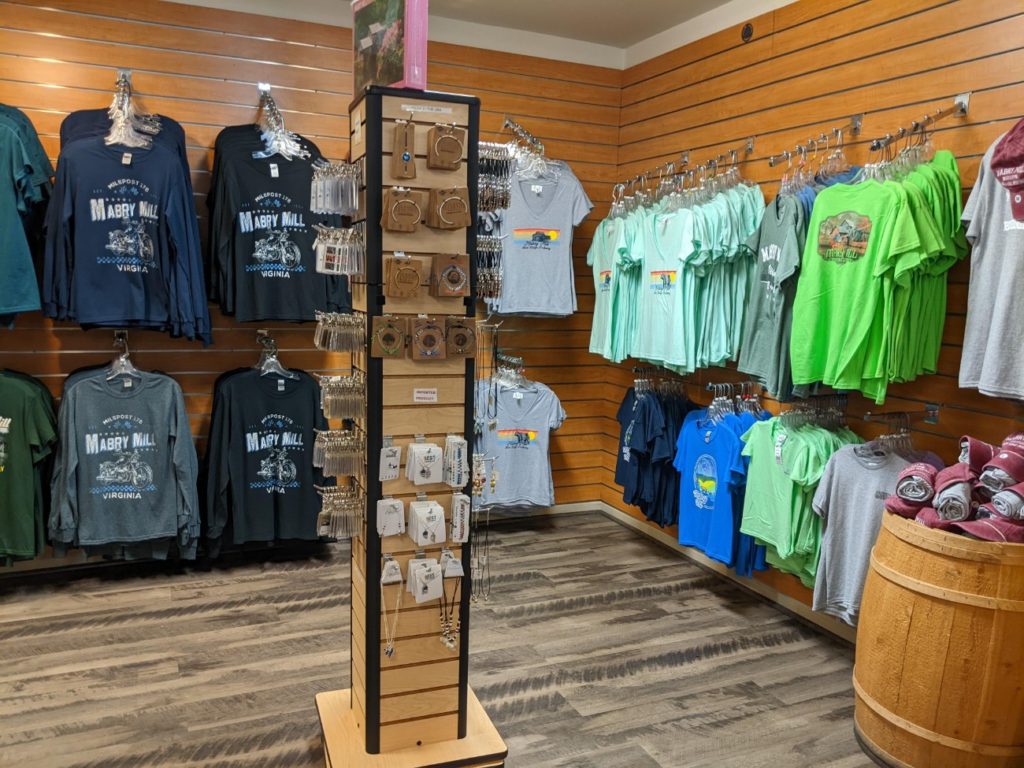
Mabry Mill
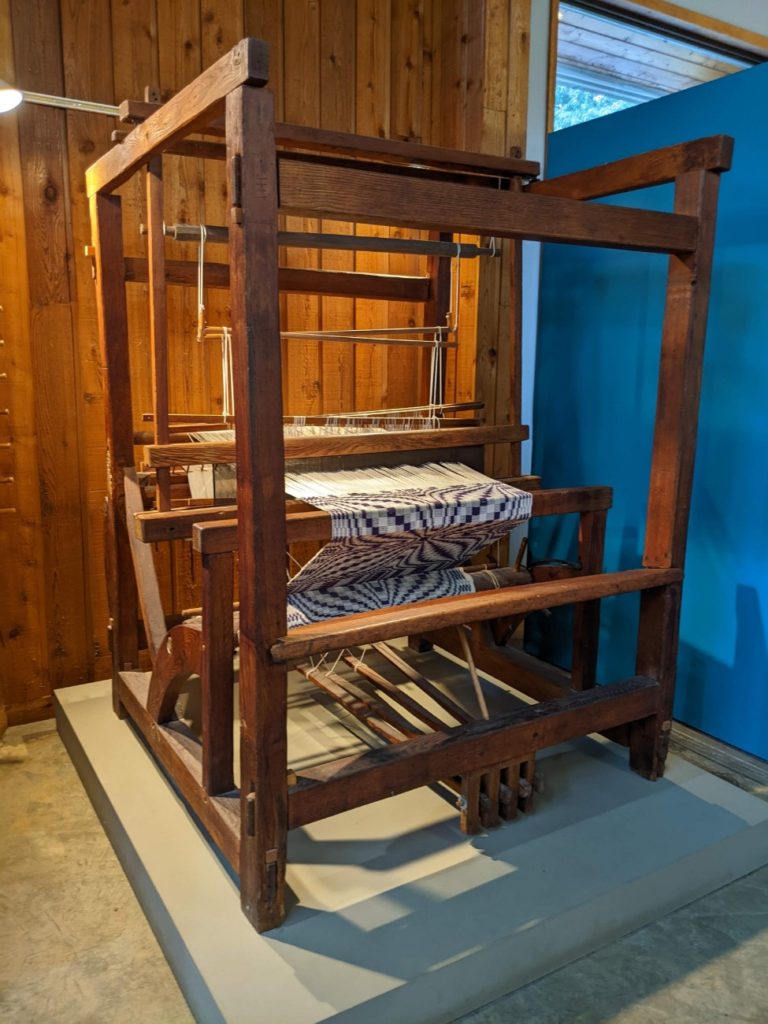
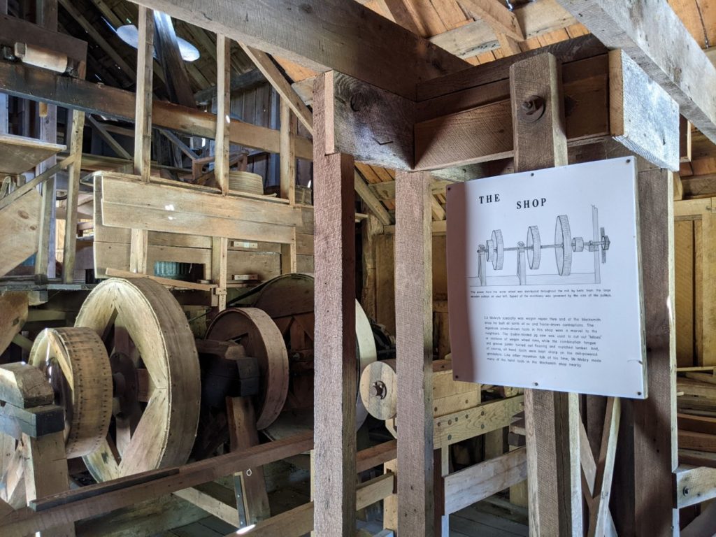
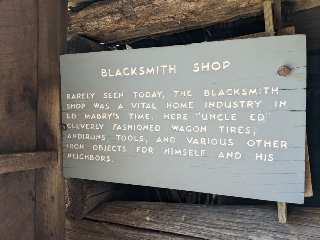
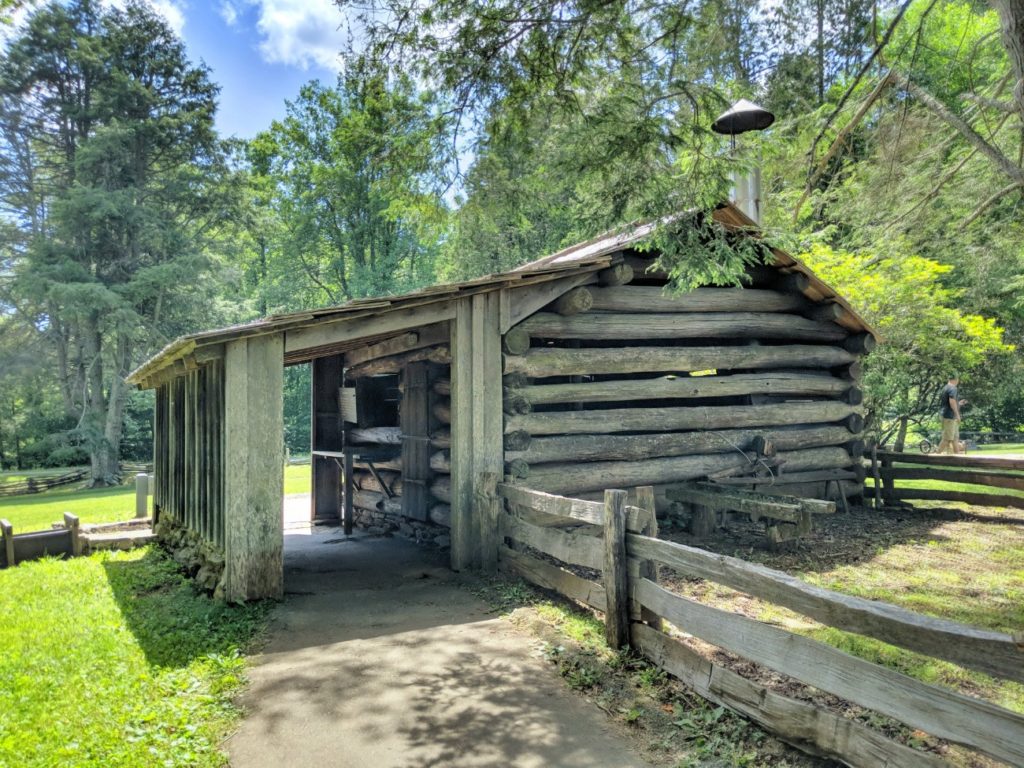
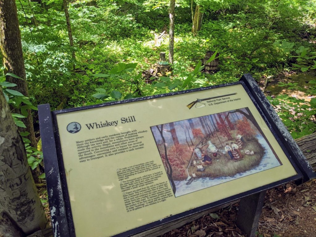
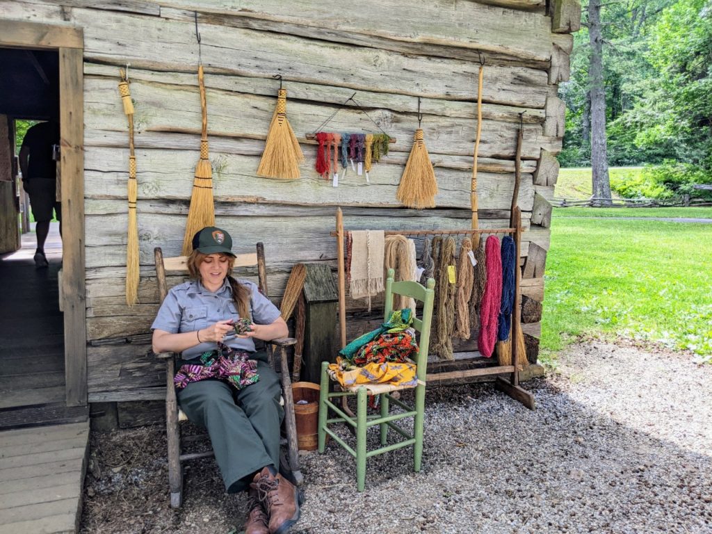
The next big stop on the parkway is Mabry Mill, an impressive 3-in-one mill (sawmill, grist mill, and woodworking shop) with a lengthy mill run and several outbuildings. There’s a blacksmith shop, a cabin set up for weaving, a whiskey still, and paths connecting all.
At the parking area is a gift shop and restaurant, which is a good place to stop for lunch if you started your day in Mount Airy. They serve breakfast until noon, as well as lunch and dinner. (Though they close at 5 pm; 6 pm on weekends.)


Rocky Knob
Just past Mabry Mill is the Rocky Knob area for camping and picnicking. There are also 15 miles of trails and backcountry campsites.
Smart View
Smart View farther north has more picnic grounds and trails, bathrooms, and a cute little cabin belonging to a Mr. W.J. Trail.

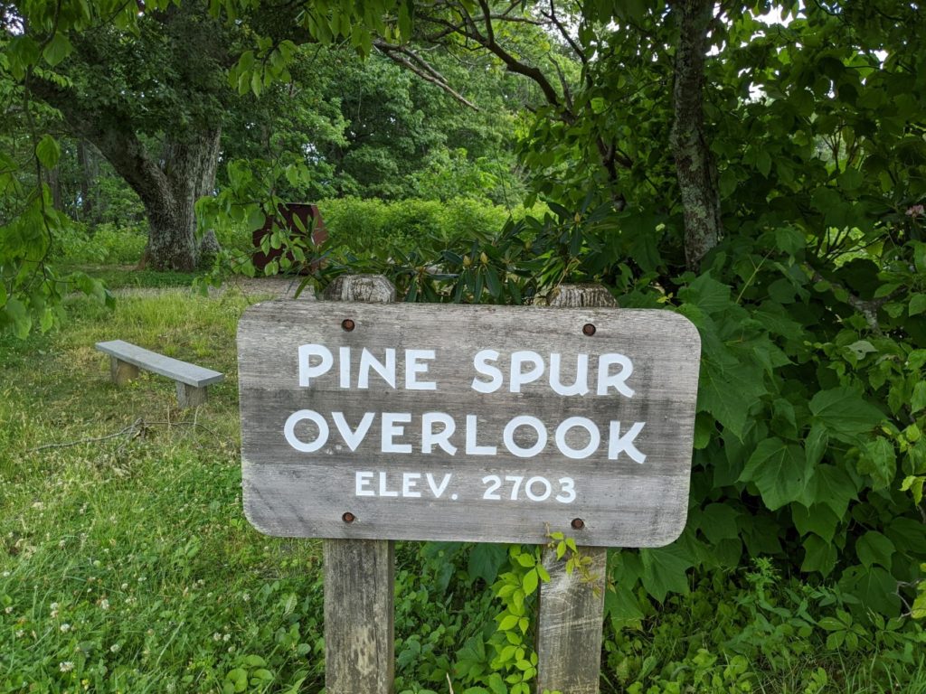
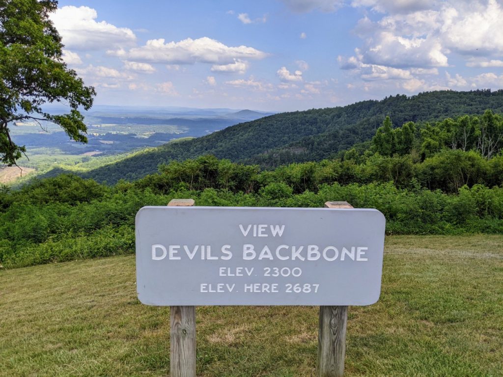
Pine Spur & Devil’s Backbone Overlooks
From Mabry Mill north to Roanoke, it gets more mountainous again, with more overlooks. The pine trees at Pine Spur are said to have inspired the tree on the Blue Ridge Parkway signs. The Devil’s Backbone offers a ridge view.


Roanoke Area
During your drive on the Blue Ridge Parkway, you are likely to be detoured at some points. On my drive in the spring of 2022, there were three detours. By far the biggest one is around Roanoke. All the detours are well-marked, but for this one, you are routed straight through the city, making it a good place to stop for the night, since you’re already off the parkway.
The detour can get a little confusing, especially since while the Blue Ridge Parkway is closed on either side, there is a major Visitor Center at Explore Park open in the middle of the closure. This seems to be the other big visitor center for the parkway, along with the one in Asheville. I didn’t manage to make it there on my drive, mainly because I was confused by the various parkway detour signs. If you do make it, there are campgrounds, trails, bathrooms, a museum, and a gift shop. (You can decorate an entire Christmas tree with the different ornaments found at all the gift shops along the parkway!)


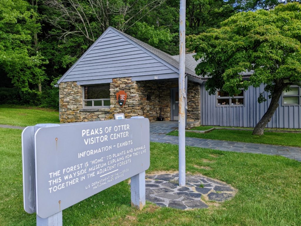
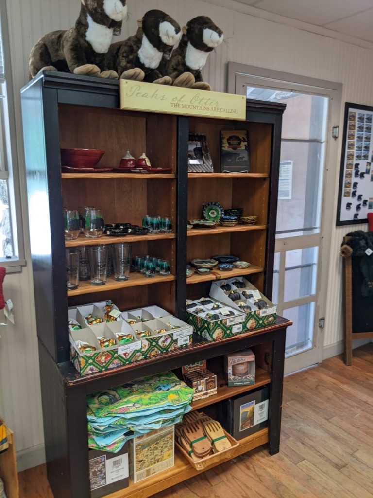
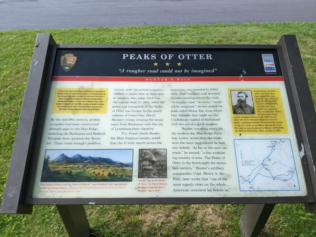
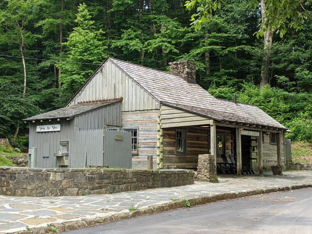
Peaks of Otter
The next major area north of Roanoke is Peaks of Otter. Driving north, you first come to the Peaks of Otter Visitor Center which features a small museum, shop, and info desk. Behind the visitor center is a small amphitheater and some trails including a > 1-mile loop, a 2-mile loop, and a 3+ mile loop.
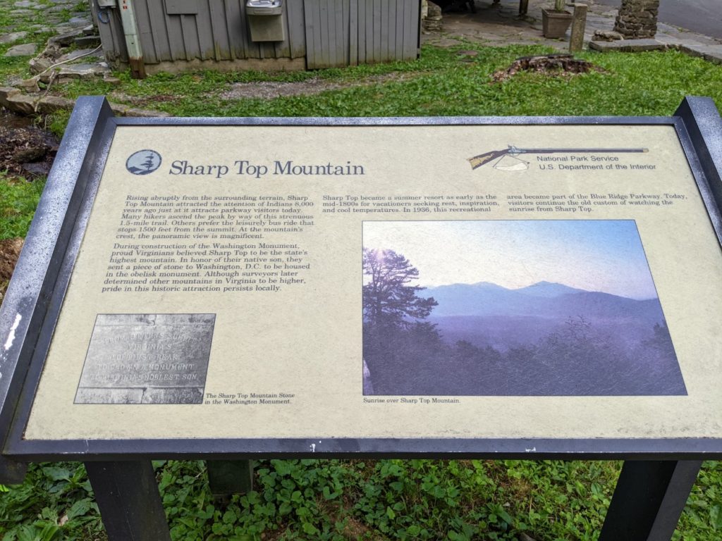
Across the street is a campground, a camp store and picnic patio, and a trail and bus to the top of Sharp Top Mountain. The trail is 1.5 miles one-way, is steep, and takes about 2.5 hours. Alternately, you can take a 15-minute bus ride, with only about a 1500-foot hike left at the top. Buy tickets for the bus at the camp store. I forgot to write down how much they are, but I think the bus costs around $25 per person. Busses leave the store every 1.5 hours. To give you an idea of the timing, I figured out that if I left on the bus at 10:40, I’d get back at 12:15.


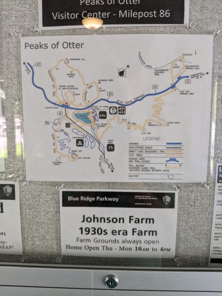


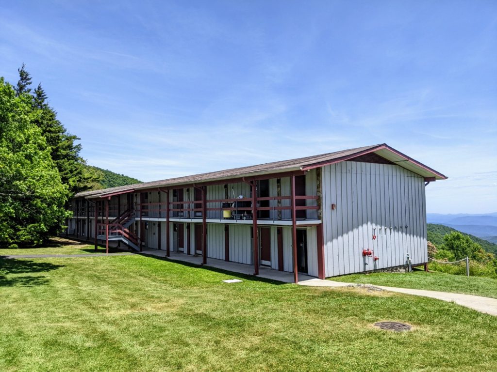
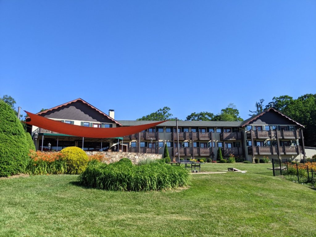
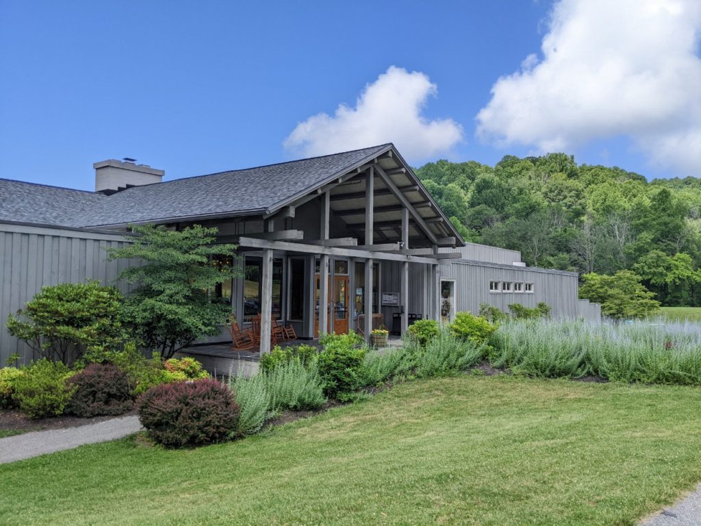
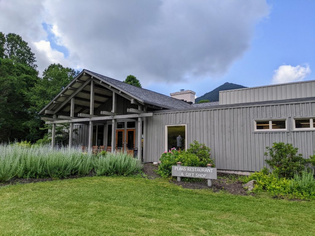
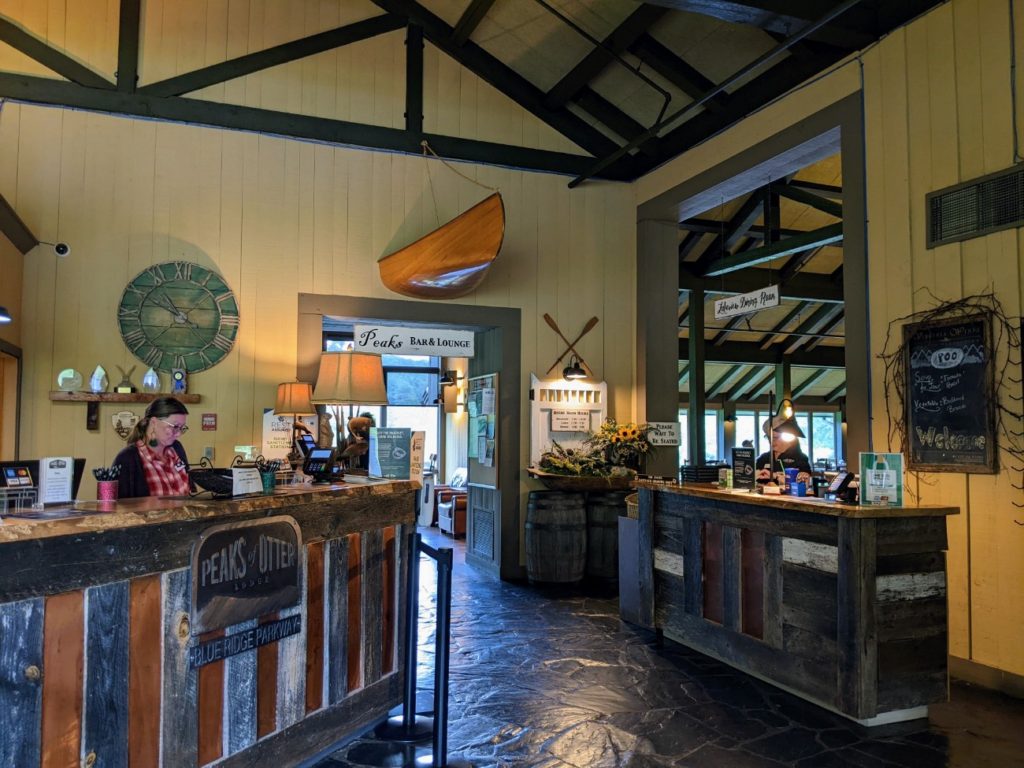
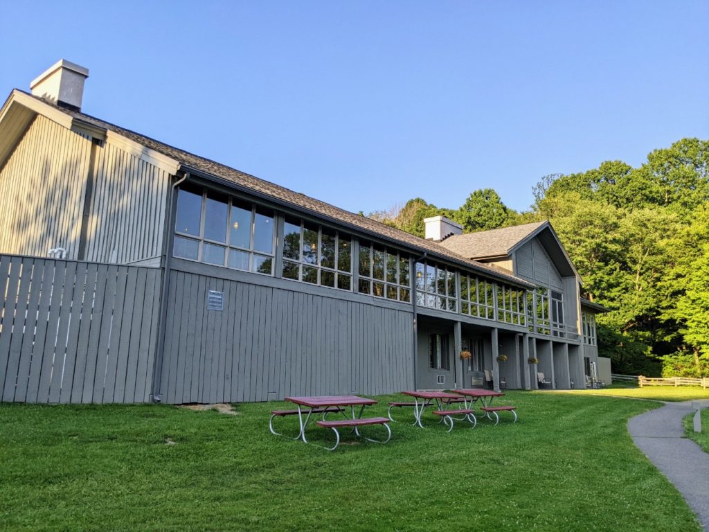
Peaks of Otter Lodge
A touch farther north is the Peaks of Otter Lodge, the only other National Parks Lodge on the Blue Ridge Parkway other than the Pisgah Inn near Asheville. This one is a bit nicer, with rustic hotel rooms on a lake, a beautiful lodge with a restaurant and bar, all overlooking the lake and mountain view. A short trail around the lake makes a nice after-meal stroll, and there is a relocated cabin on the far side.
Rooms here run around $200/night, similar to Pisgah Inn, and I imagine they stay just as booked up. I stayed in Roanoke for the night and arrived at the lodge too early for lunch. If you spent a little more time in Roanoke or sought out the Visitor Center at Explore Park first, the Peaks of Otter Lodge would make a good lunch stop.


Overlooks, Hikes, and Heights
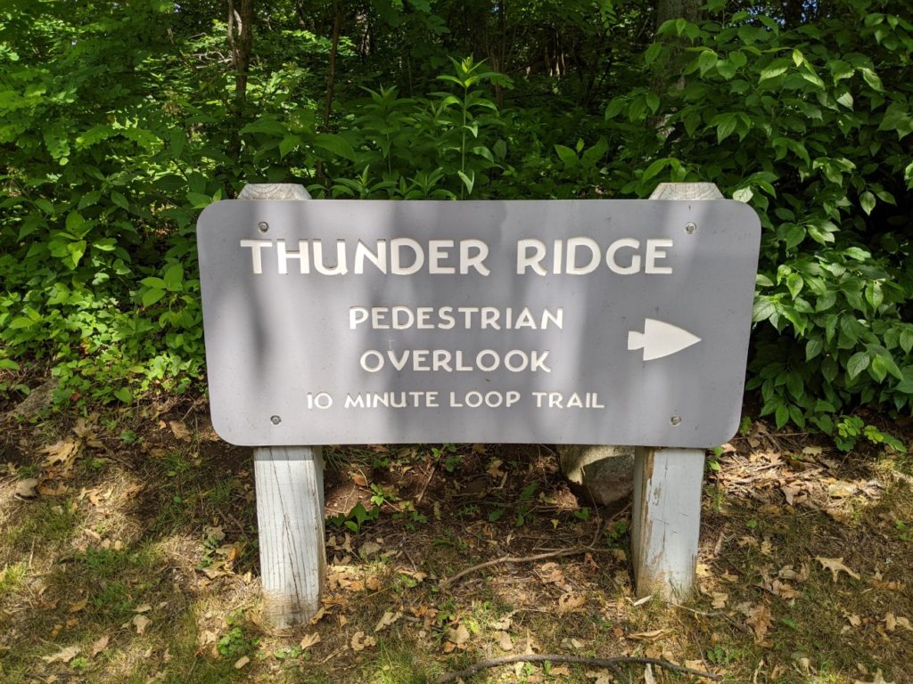
Heading north from Peaks of Otter are more opportunities for hiking and looking. Just north is a 1.5-mile Fallingwater Cascades trail. A bit farther is the highest point of the Blue Ridge Parkway in Virginia, though it’s not very well marked. Just a little farther on is a short trail from Thunder Ridge.
It’s around this area that you see more signs for the Appalachian Trail. While you find the MST in the south, the AT parallels the Blue Ridge Parkway from above Roanoke all the way through to Shenandoah National Park to the north.

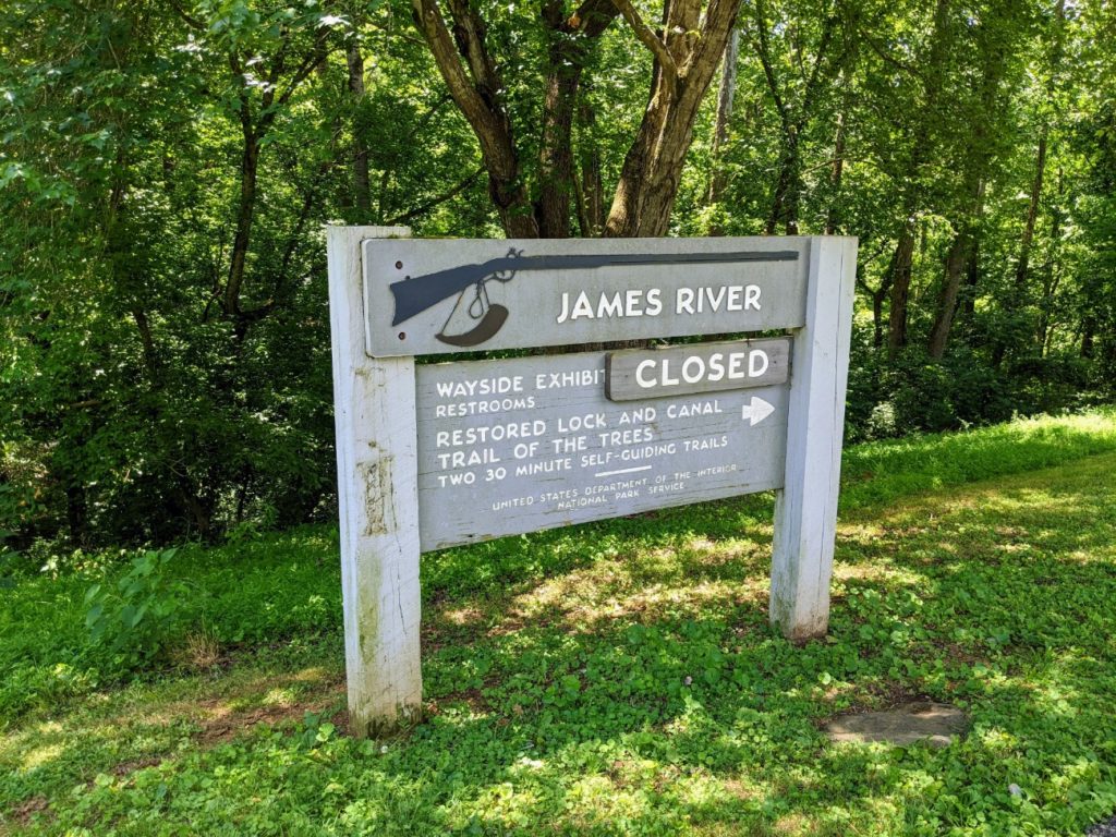
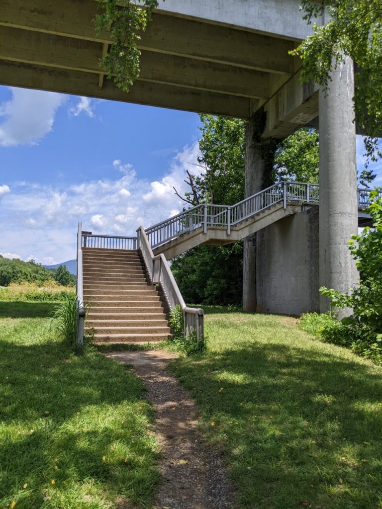
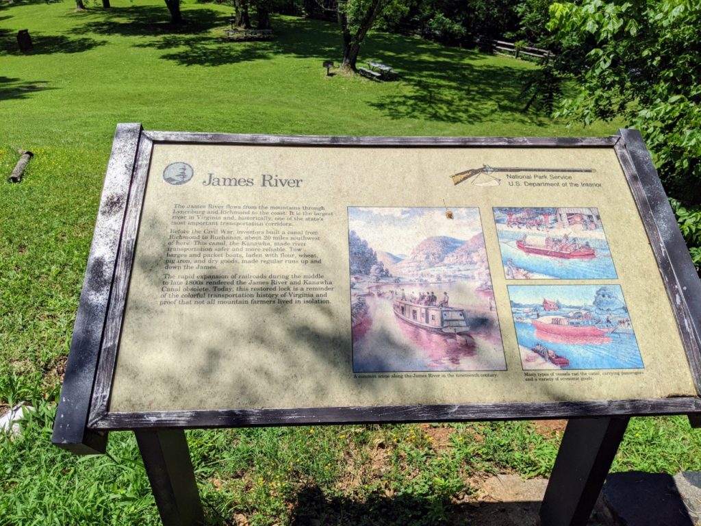
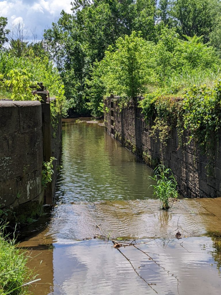
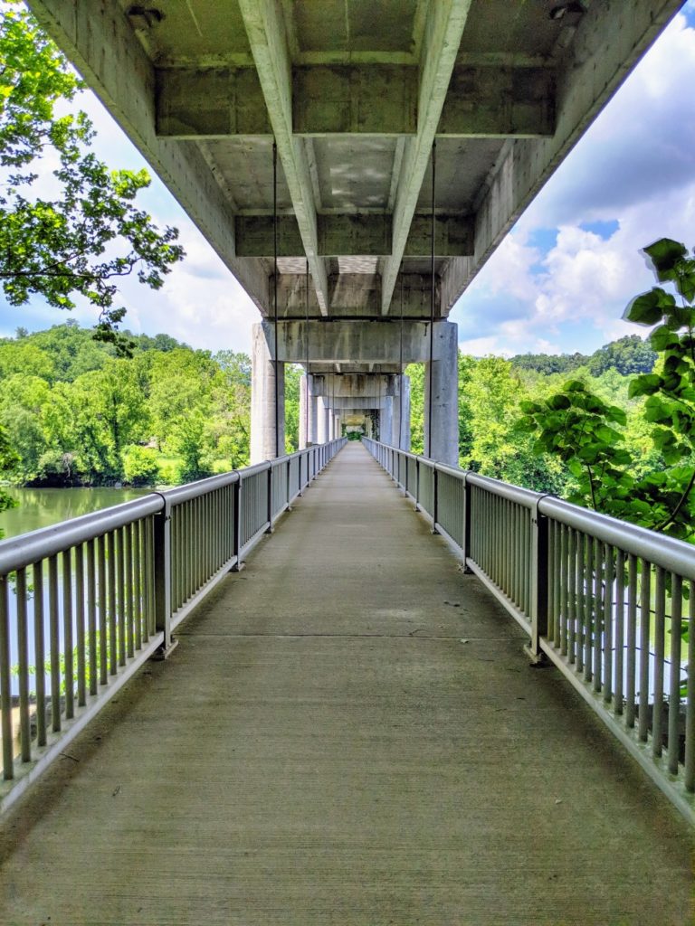
James River Canal
Not 15 miles from the highest point on the Virginia side of the parkway is the lowest point of the entire Blue Ridge Parkway, at James River. There is a small visitor center and store here but the interesting part is the walk across the river to a small canal system. A pedestrian bridge under the vehicular bridge takes you to a small, historic canal lock with some exhibit signs. A longer trail makes a path through the trees.
The visitor center was closed during my trip, but the bathrooms were open and there are picnic tables on the near side of the river.


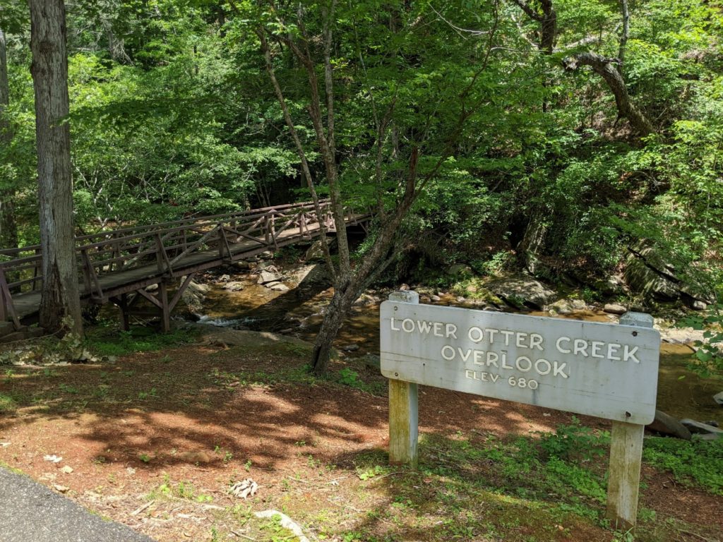
Lower Otter Creek
As you travel farther north from Peak of Otter, you see sections of the lower Otter Creek. Some of these have been dammed into small fishing ponds or feature bridges and picnic areas.
The Otter Creek Campground has creekside campsites and plenty of trails. A roadside visitor center is boarded up.

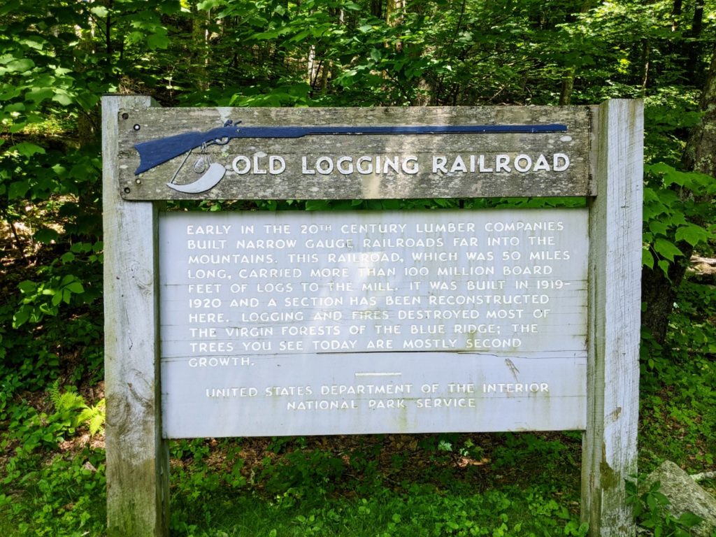
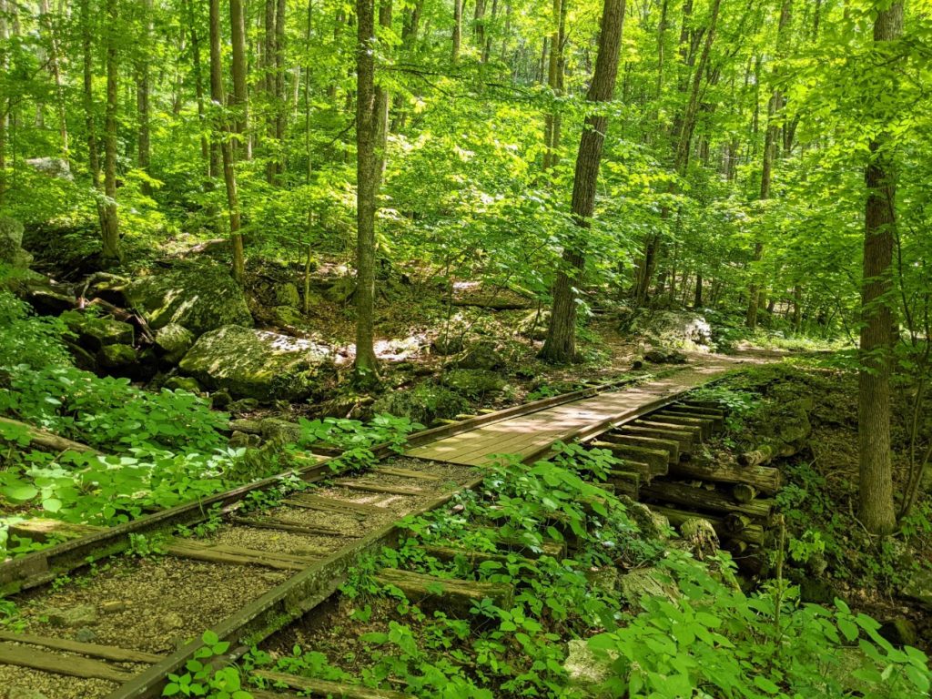
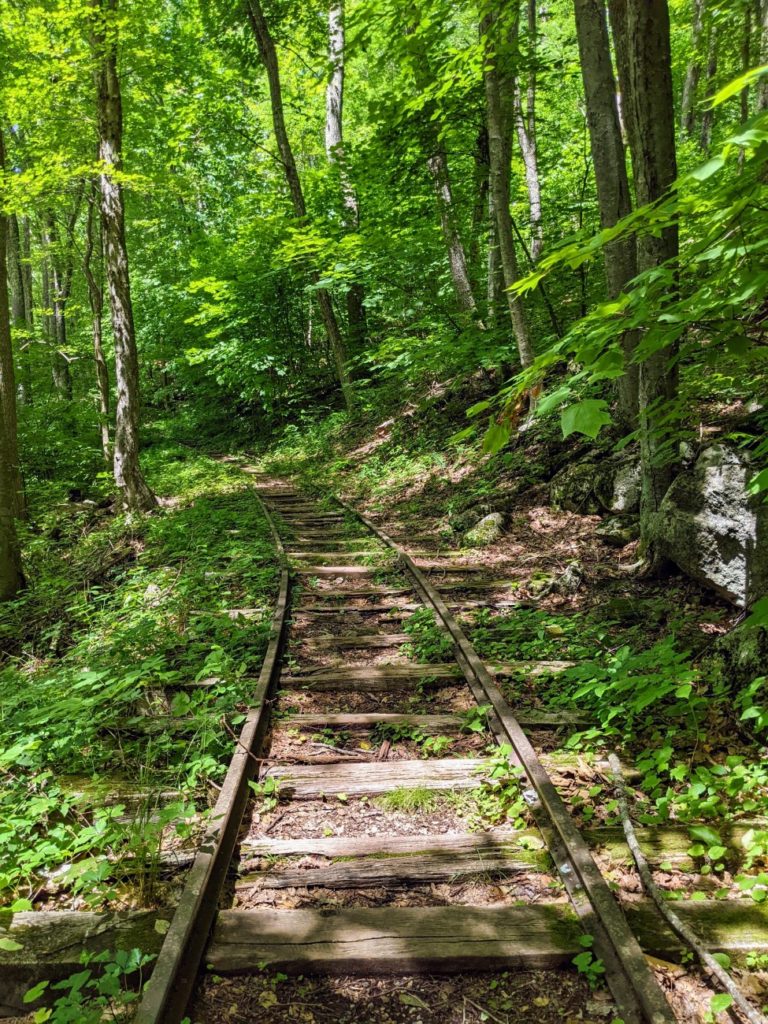
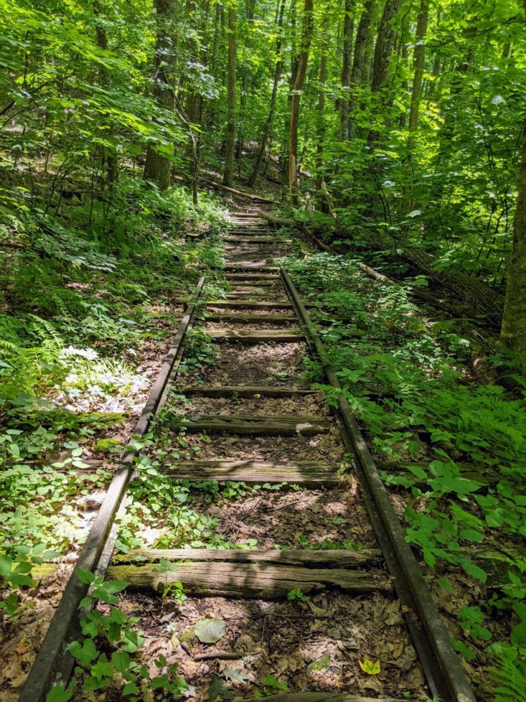
Railroad Exhibit at Yankee Horse Parking
One of the pull-offs in this area features an exhibit on the old logging rail lines that ran through the Appalachian Mountains. It’s not much more than a sign and a few feet of restored train tracks, but it’s fun to walk along. The trail continues after the track ends for a few more yards.


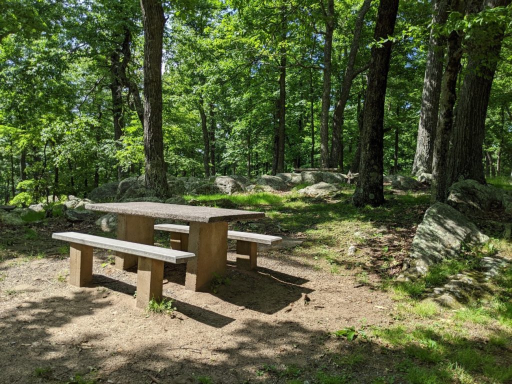
a typical “comfort station” at a picnic grounds – this one is probably at Whetstone Ridge
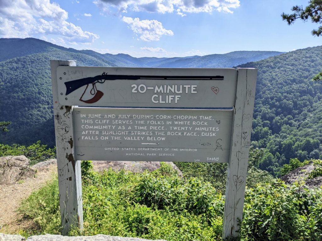
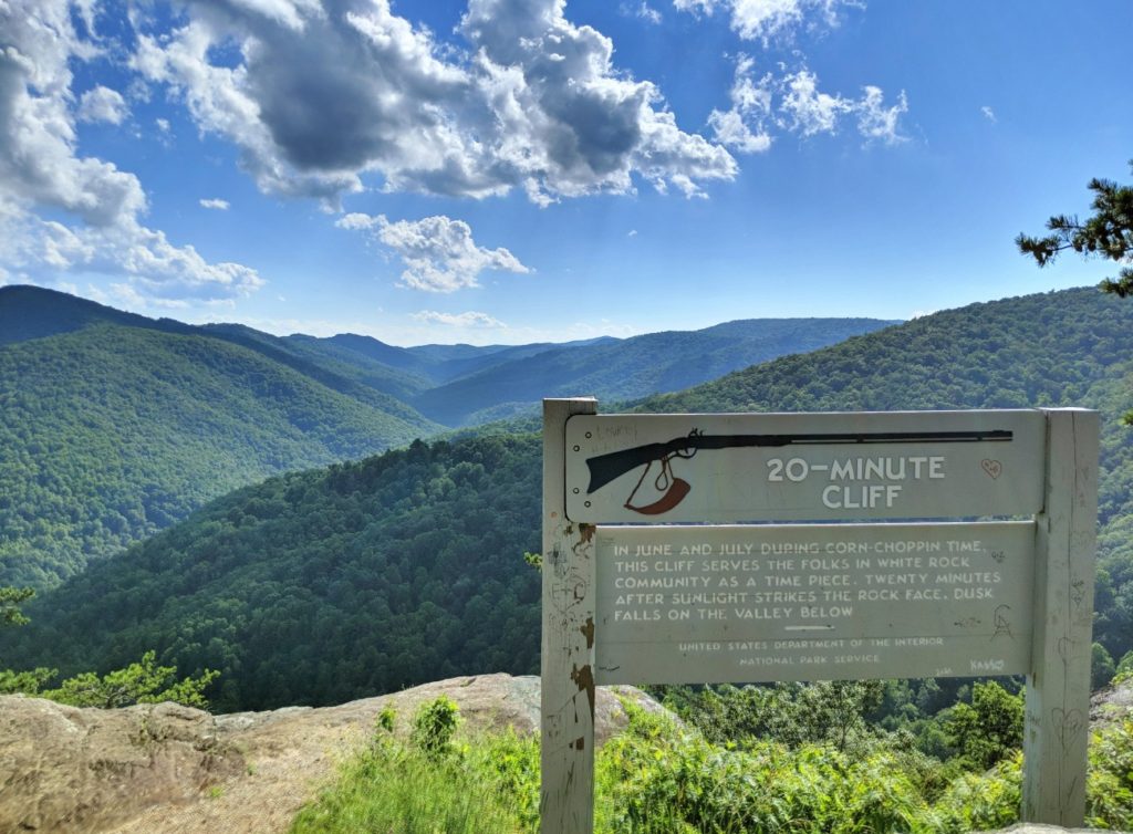
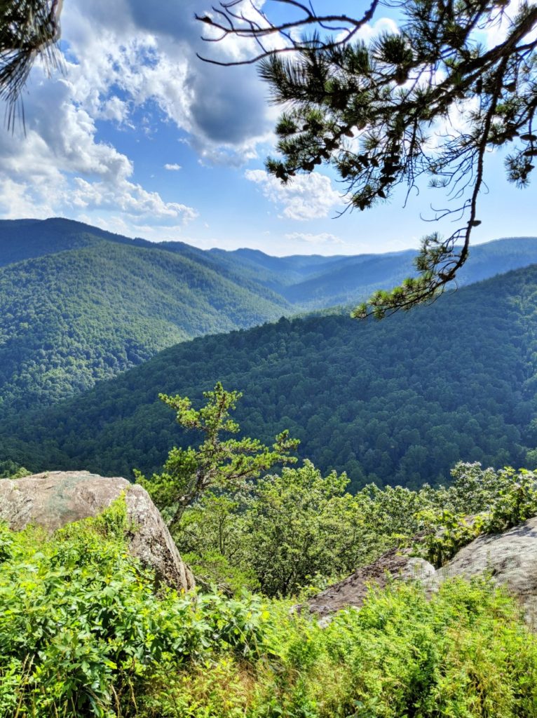
20-Minute Cliff
This one I had to double back to see: this pull-off is not much more than a parking area on top of a boulder. Apparently, farmers could tell when they were about to lose the sunlight when the sun hit this cliff.
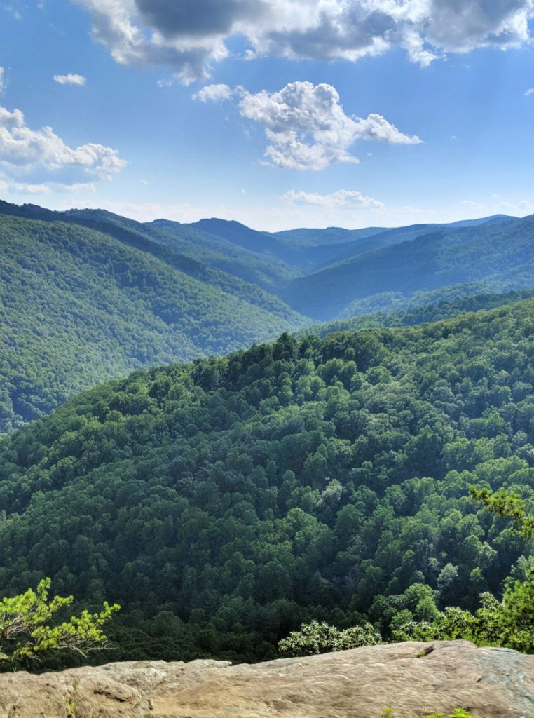
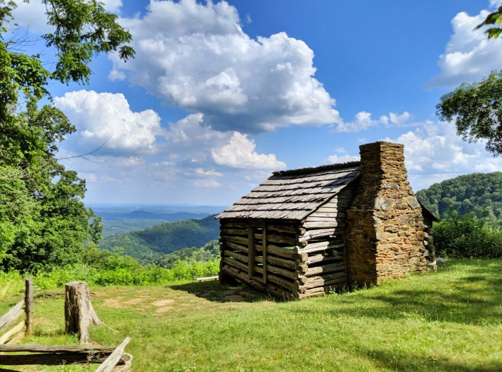
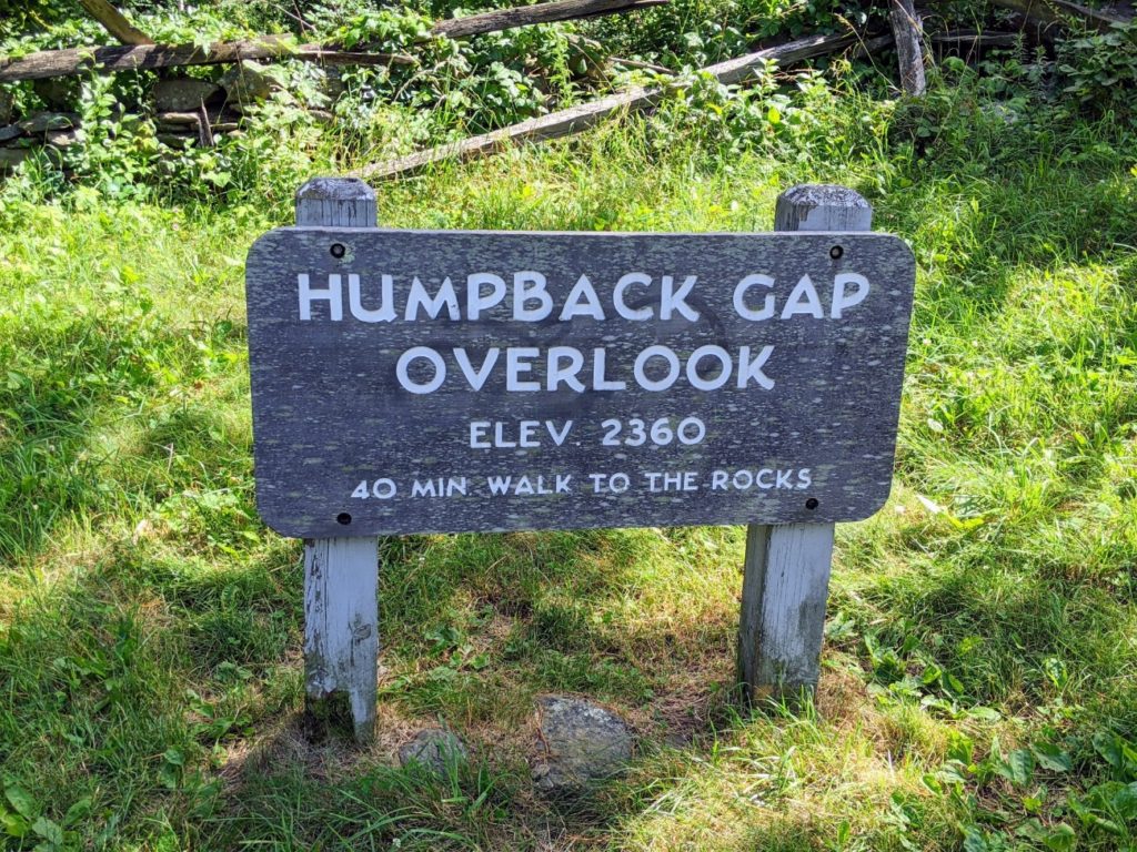
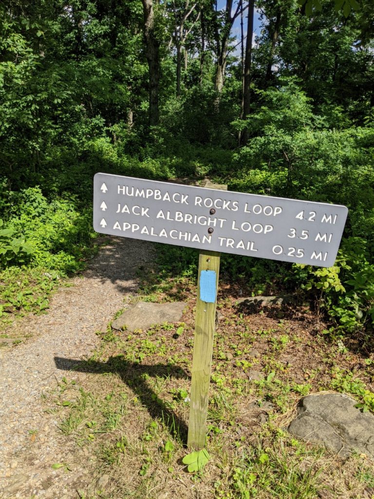
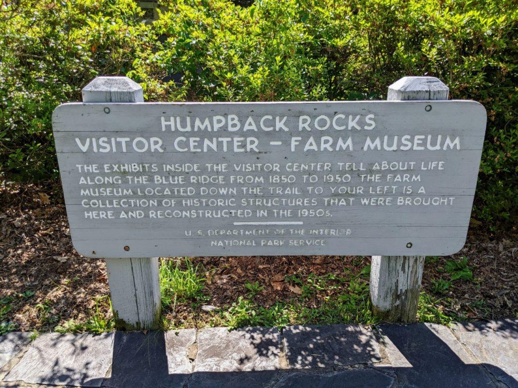
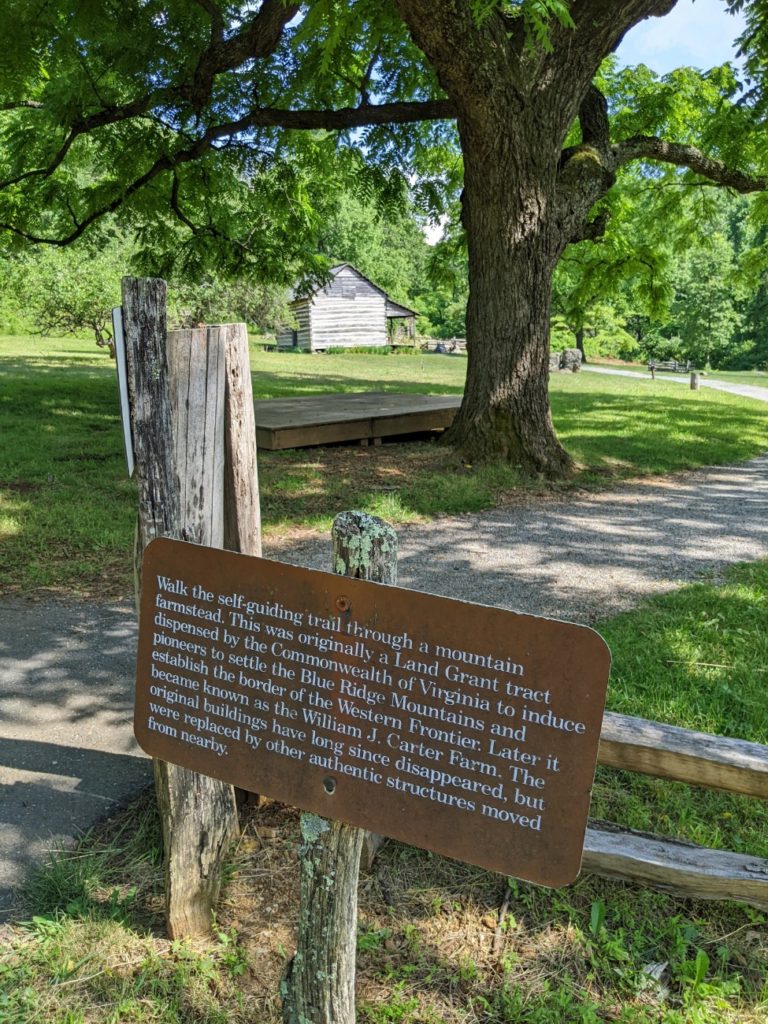
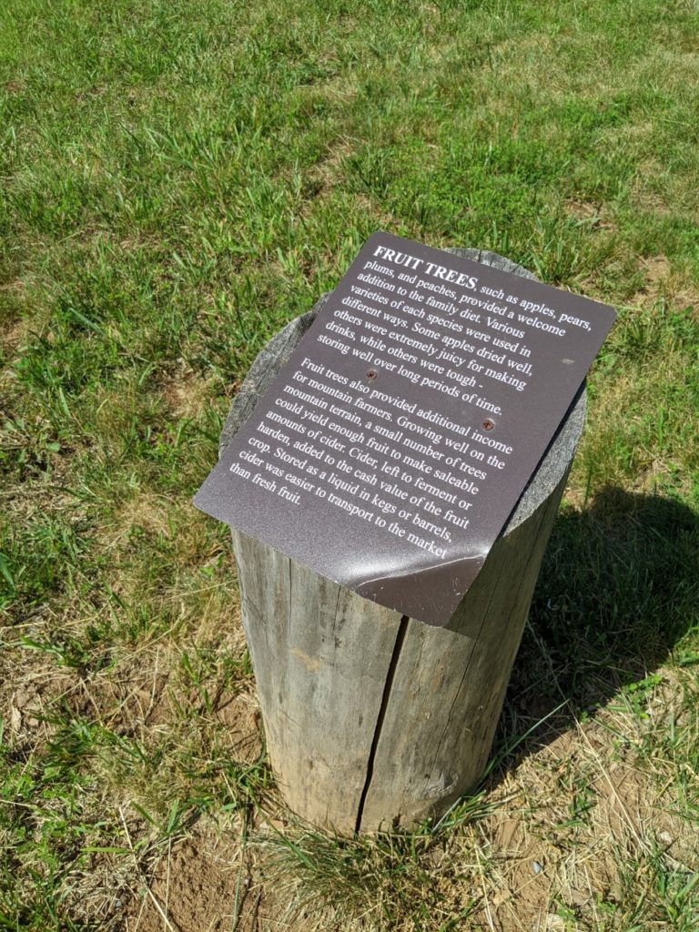
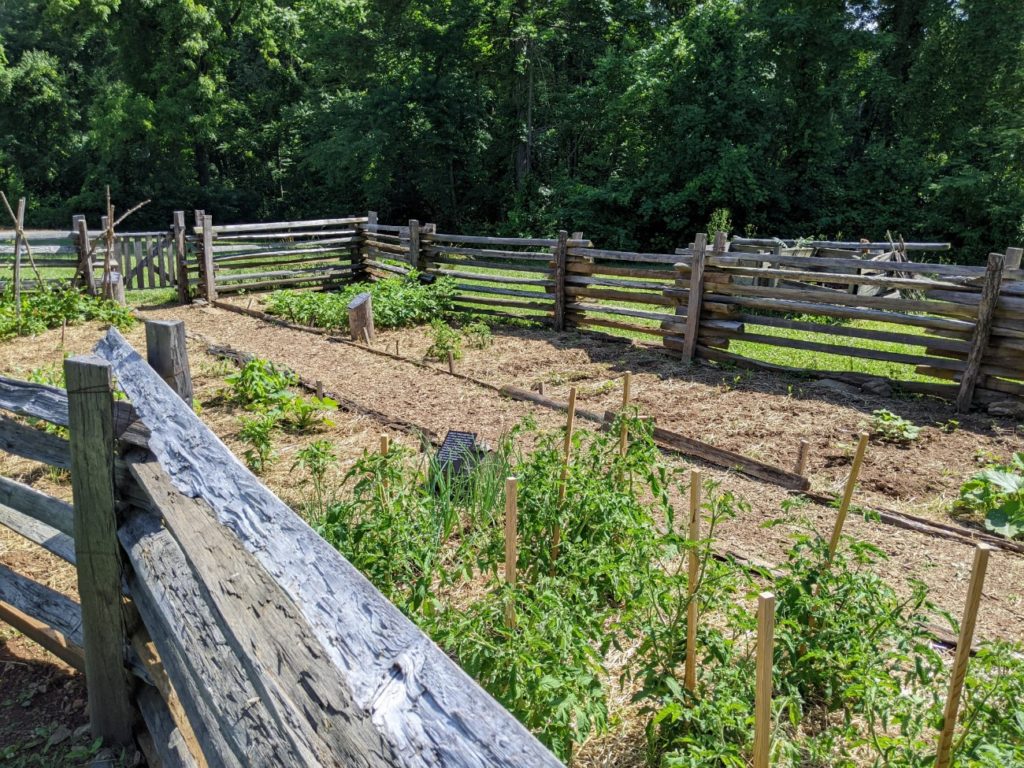
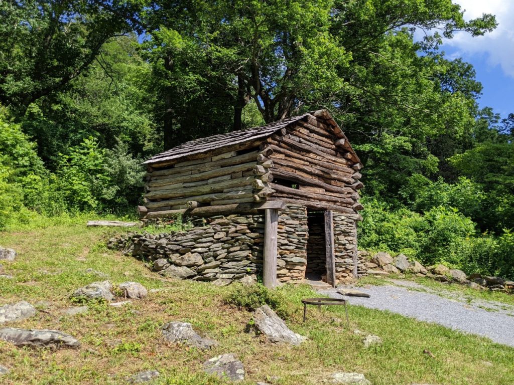
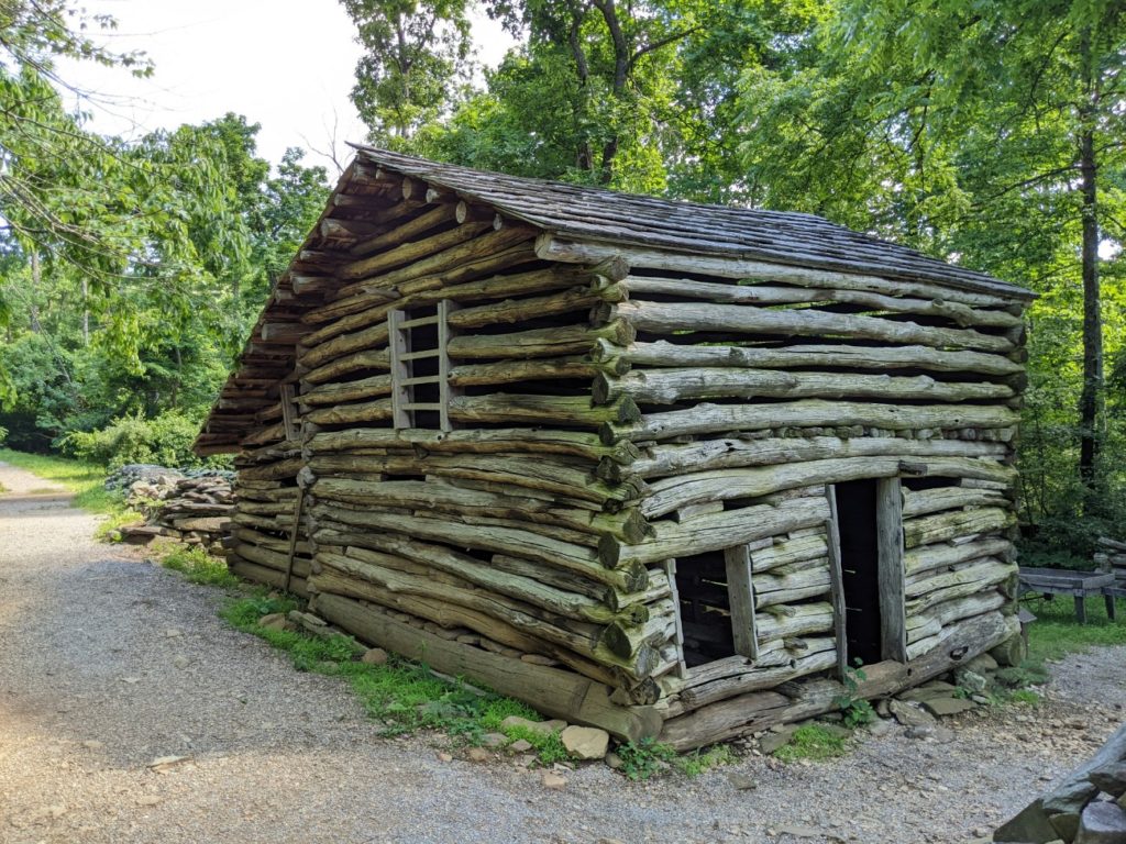
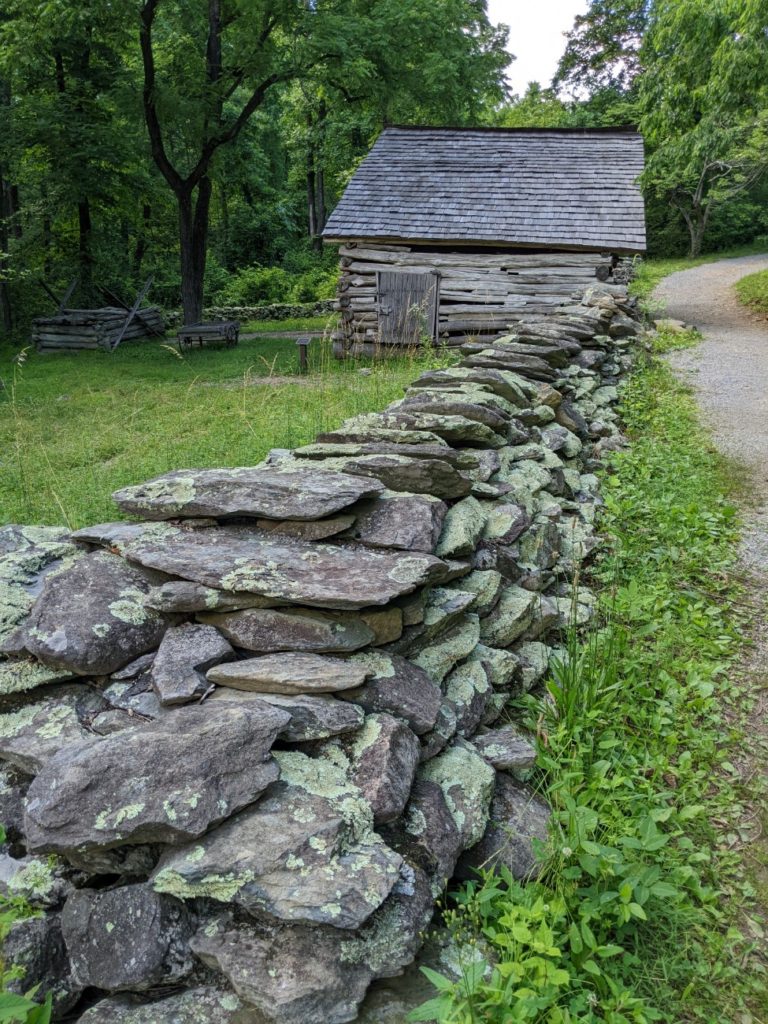
Humpback Rocks & Farm
The last big stop on the Blue Ridge Parkway is Humpback Rocks and Humpback Gap Farm. There’s a visitor center and bathrooms here, but the big attraction is the farm spread out to the left of the parking lot. There’s a cabin and several outbuildings to walk around and a few trails branch out from here.


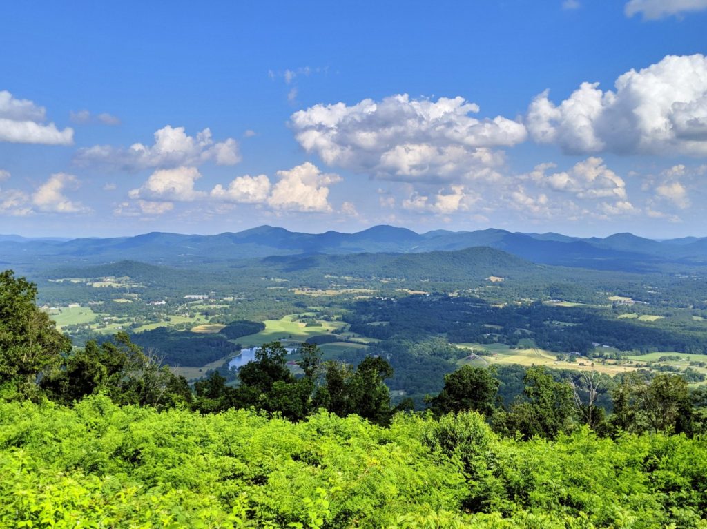
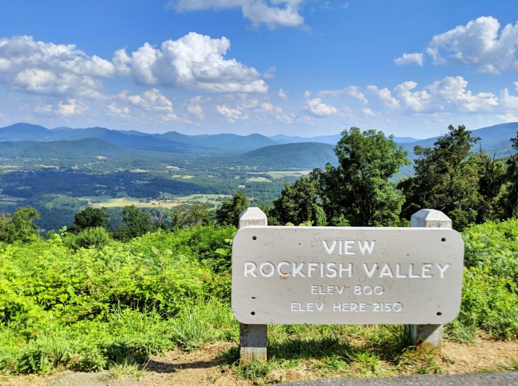
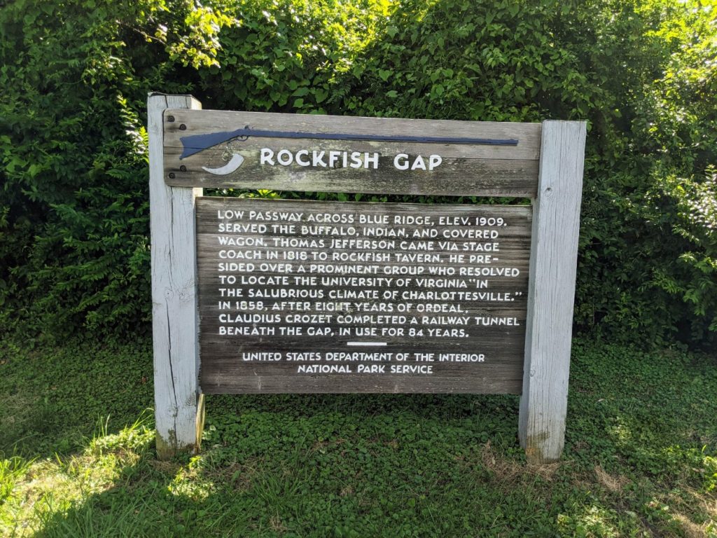
Rockfish Gap and the Top of the Parkway
Finally, after three and a half days, I reached the end of the Blue Ridge Parkway at mile zero. It ends pretty much right at the mouth of Shenandoah National Park, near the town of Waynesboro. I’d recommend the final night to be a local stay around here. I confess, I drove from Roanoke to the top of the parkway and back again in a day, but I can’t recommend it.
Recommended Strategy
If you have a whole week to drive the Blue Ridge Parkway, I’d propose the following plan. (Basically, this is a succinct version of what I laid out above.) This gives you plenty of time for overlooks and stops, plans out the sit-down meals available on the parkway, and focuses on sightseeing and short hikes. There are certainly far, far more hiking opportunities than this plan would allow for, and a camping & hiking trip would look totally different. The focus here is doing the entire drive, from south to north.
Before/Day 1
The night before you embark, spend the night in Maggie Valley, or the weekend in Maggie Valley and Cherokee. After breakfast, enter the Blue Ridge Parkway in Cherokee, do some light hiking at Waterrock Knob & The Devil’s Courthouse. Eat lunch at Pisgah Inn. In the afternoon, check out the Folk Art Center, the parkway Visitor Center, and the NC Arboretum. Spend the night in Asheville, or two nights if you want to check out Asheville for a day.
Day 2
The next morning, hike around Craggy Gardens, go to the top of Mt. Mitchell, and have lunch in Little Switzerland. After looking around, visit the Minerals Museum, hike around Linville Falls, and visit Grandfather Mountain. Spend the night in Linville.
Day 3
On day three, check out the Linn Cove Viaduct, Moses Cone Manor, and have lunch and see an attraction or two in Blowing Rock. Drive up the parkway to Doughton Park and have dinner at The Bluffs. Make evening stops at Fox Hunter’s Paradise and Cumberland Knob and drive to Mount Airy for the night.
Day 4
Spend the morning in Mount Airy until lunch, visit the Blue Ridge Mountain Center and make sure to hear some live music. Make smaller stops at Puckett Cabin and Groundhog Mountain and spend some time at Mabry Mill for lunch. Continue up the parkway until Roanoke, where you’ll spend the night.
Day 5
After checking out the Visitor Center at Explore Park and taking the bus to Sharp Top Mountain, eat lunch at the Peaks of Otter Lodge. Then check out the James River, Otter Creek, the Railroad exhibit, and the Humpback Rocks farm. End your trip with a night in Waynesboro.
If you start with a weekend in the Maggie Valley area and embark on the parkway on Monday, you’d end up in Waynesboro on Friday night, or Saturday night if you spend two nights in Asheville. If you plan way ahead, you might shift your Asheville night to the Pisgah Inn and your Roanoke night to Peaks of Otter, but I think those are best visited on their own for a weekend.
Extending Your Trip
If you want an even longer trip, The Blue Ridge Parkway connects Skyline Drive in Shenandoah National Park with the main drive through the Great Smoky Mountains National Park. Each park would add a day or two on each end, I would think.
And of course, you can drive straight through for a thrilling, but tiring, drive with few to no stops. On my trip, I took almost four days to drive the length of the parkway, without a plan and stopping as much as I wanted. I turned right around and drove straight back in only the evening of one day and a very long second day. I can’t say I recommend that version, but it can be done.
Conclusion
Most people only drive sections of the Blue Ridge Parkway at a time or visit for a day of hiking or a family day at a picnic ground. But it’s a real treat to drive from end to end! It may be one of the more underrated National Park Experiences, even though sections of it see heavy use.
If you’re considering a National Park Vacation and have a week in the southeast, I would highly recommend driving the Blue Ridge Parkway. It feels like going back in time, and the views just can’t be beat.
This is a first-class tour with helpful info and fantastic pics. Better than anything else online concerning Parkway!
Thanks!
Those hiking trails looked really neat! I’m glad you had a good time 🙂
Thanks for all the leg work! We’ve been on the Parkway several times & plan on spending a week to drive its entirety. Your recommended strategy & details is exactly what we need to make it happen.
I am so glad it is helpful!
Great article with fantastic information and pictures. Travellers along the parkway will benefit from your blog. I do want to suggest that BRP visitors check out Fancy Gap, VA. Located close to the center of the BRP, the community offers restaurtants, 3 campgrounds, motel options, golf and several shops. Mt. Airy is right down the mountain from Fancy Gap,and the Blue Ridge Music Center is only 13 miles south of the community. It’s worth a stop over. Thanks so much.
Hi Sara, your blog made it into my feed this morning and it certainly made my day! I live in NC, about 2 hours from the BRP. In 2017, my husband and I and two friends biked the parkway and it was so much fun reading your experience driving it. Your pictures are wonderful and just capture the parkway so nicely. Wishing you and your travel adventures the best of luck. Looking forward to reading more form you. Elke
Thank you so much!