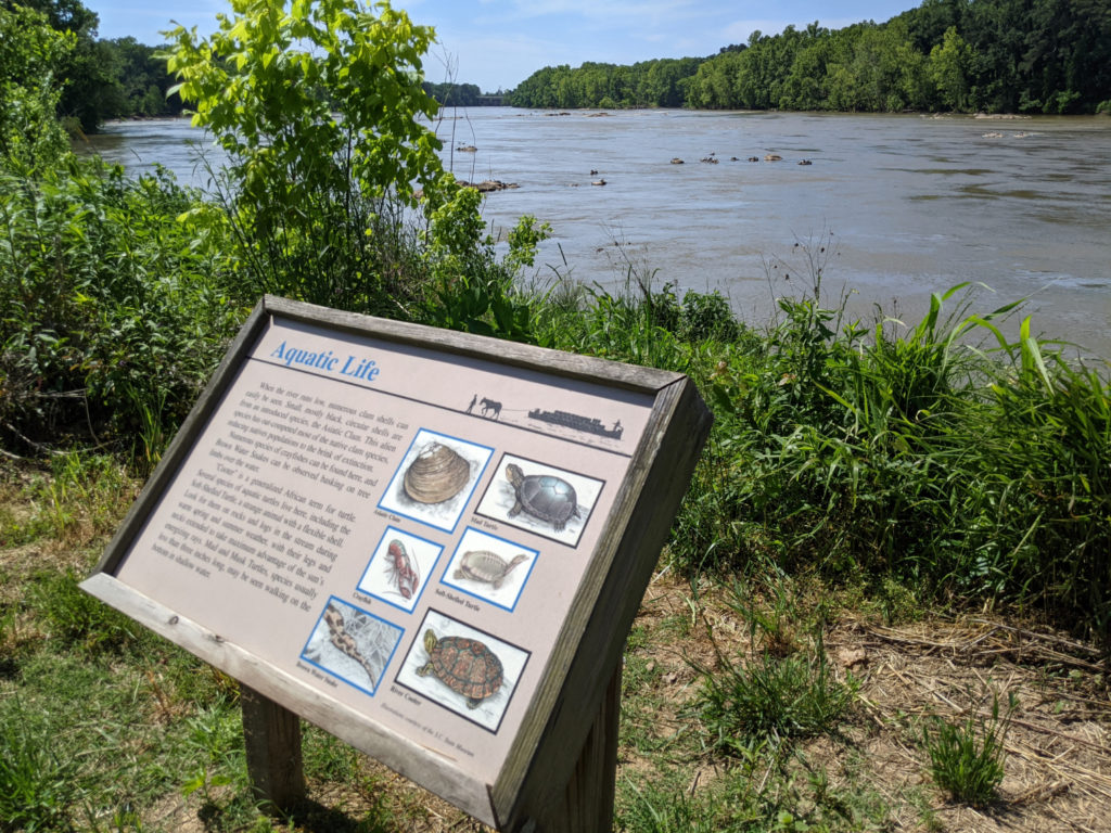
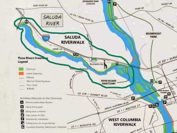
When I was first looking around Columbia, I knew there was a riverwalk somewhere. It turns out there are multiple Columbia Riverwalks. Most of them are part of the Three Rivers Greenway system since the Congaree, the Saluda, and the Broad Rivers converge in the middle of Columbia. Or, rather, the Saluda & Broad converge to form the Congaree, which flows into the Congaree wetlands and eventually out to sea near Charleston.
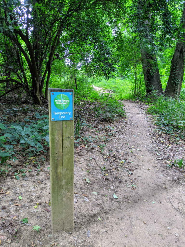
It seems that every time I walked on a section of the riverwalk, I would find another section I had missed. At first, I thought there was just one major walk along a canal. Then I discovered there are at least two more, one for each river. Then I realized there was a section farther down from where I had walked twice that I was totally missing! There are maps posted of the whole system near the entrances of the trails, but they vary a little from each other. AND the Three Rivers Greenway system is expanding all the time, opening up new sections and connections.
So YOU don’t miss all the riverwalks that Columbia has to offer, here’s a taste of each one, ranked in order of how much I enjoyed them. (Though they’re all pretty nice, tbh.)
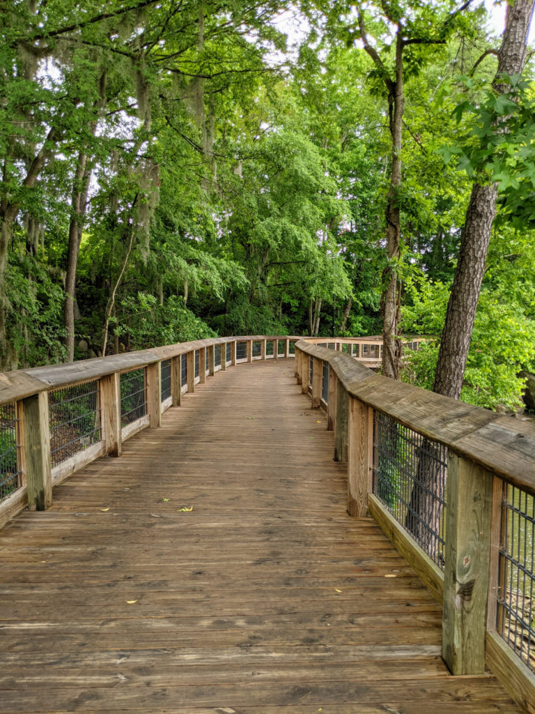
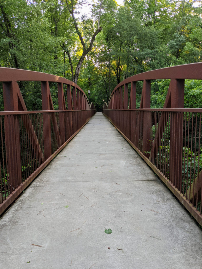
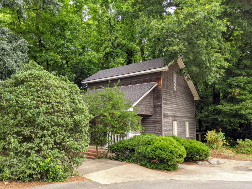
West Columbia Riverwalk Park
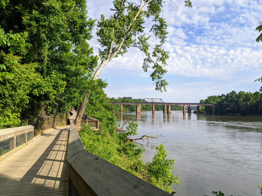
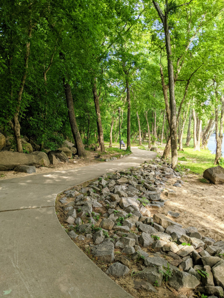
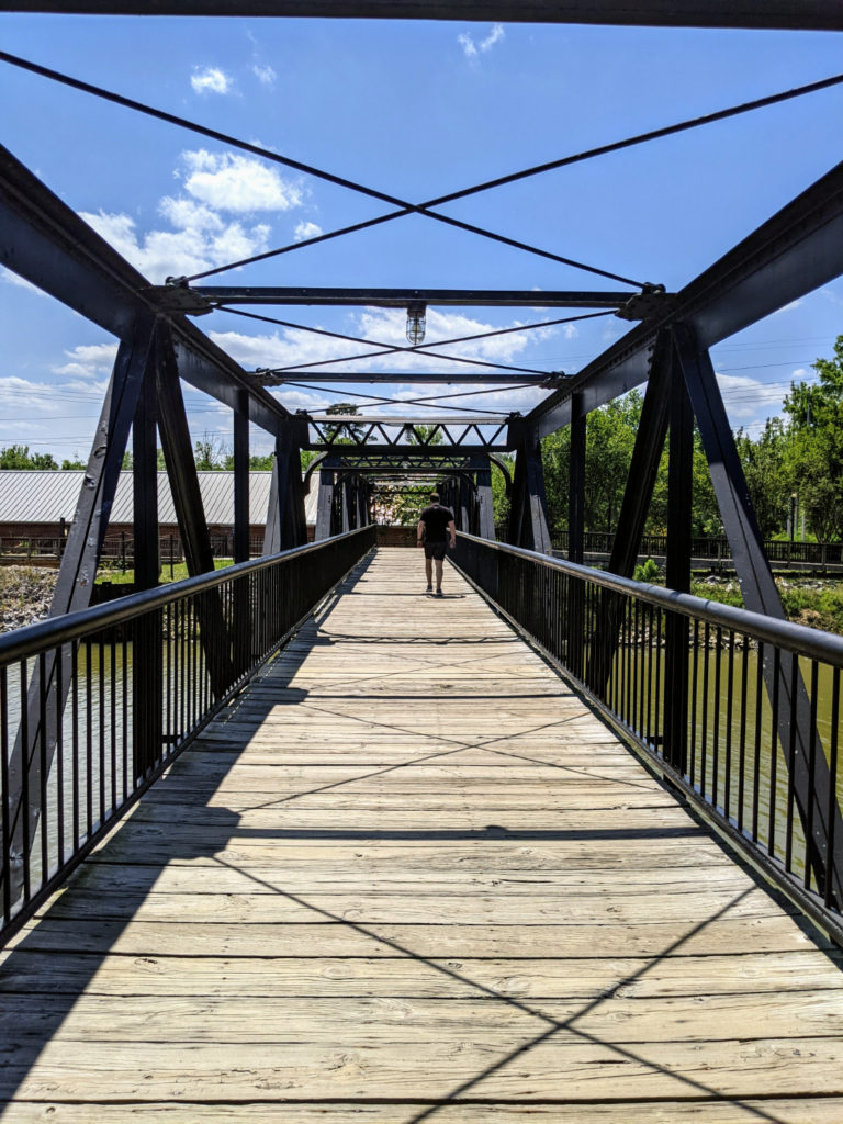
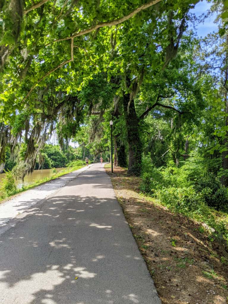
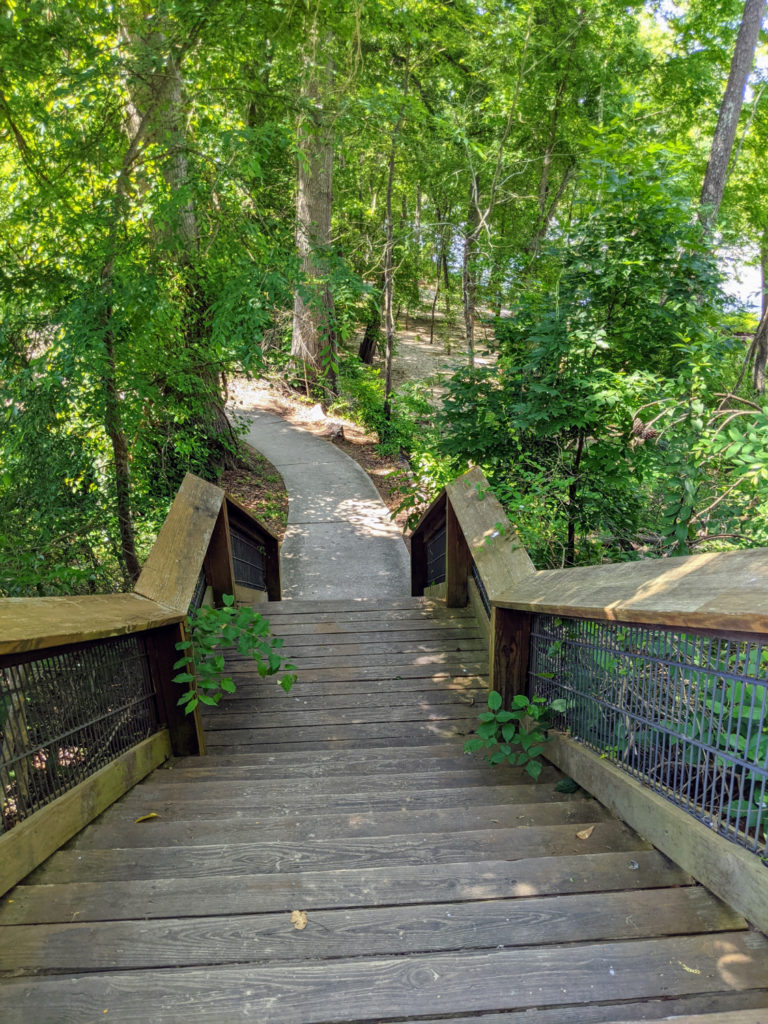
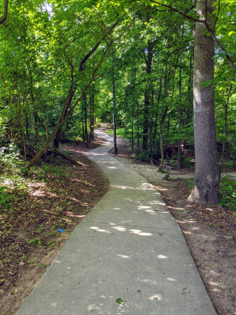
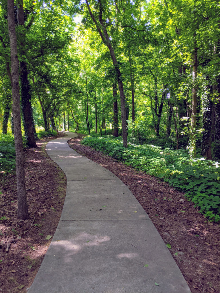
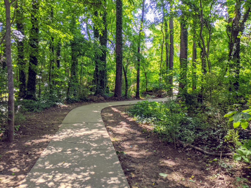
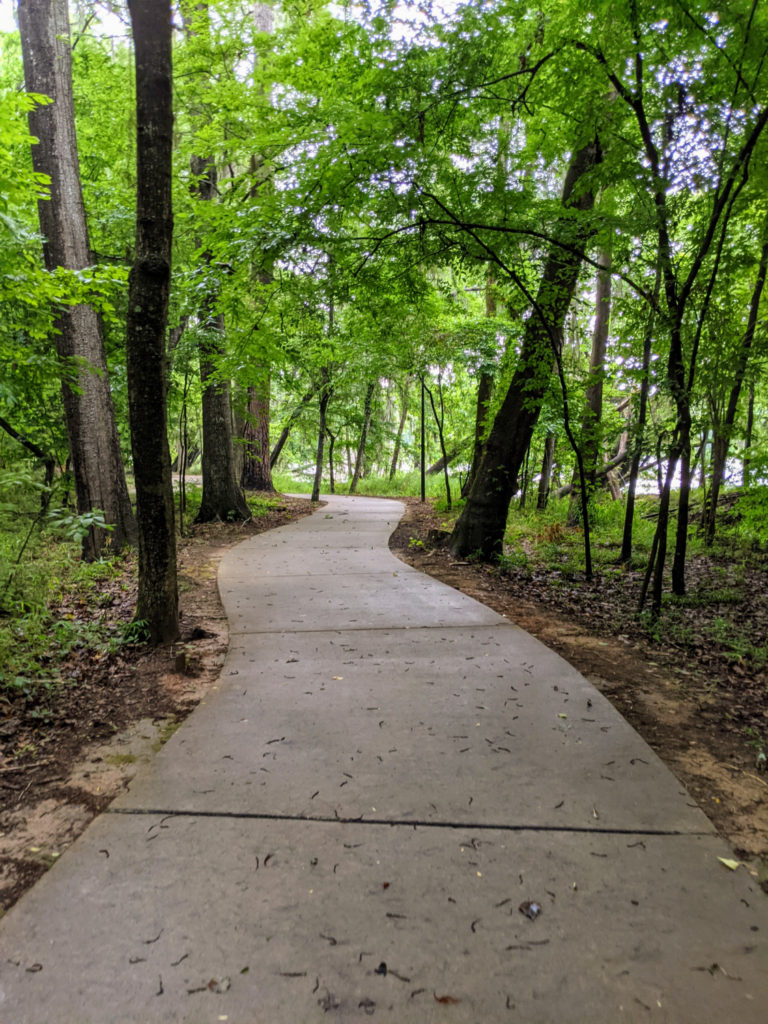
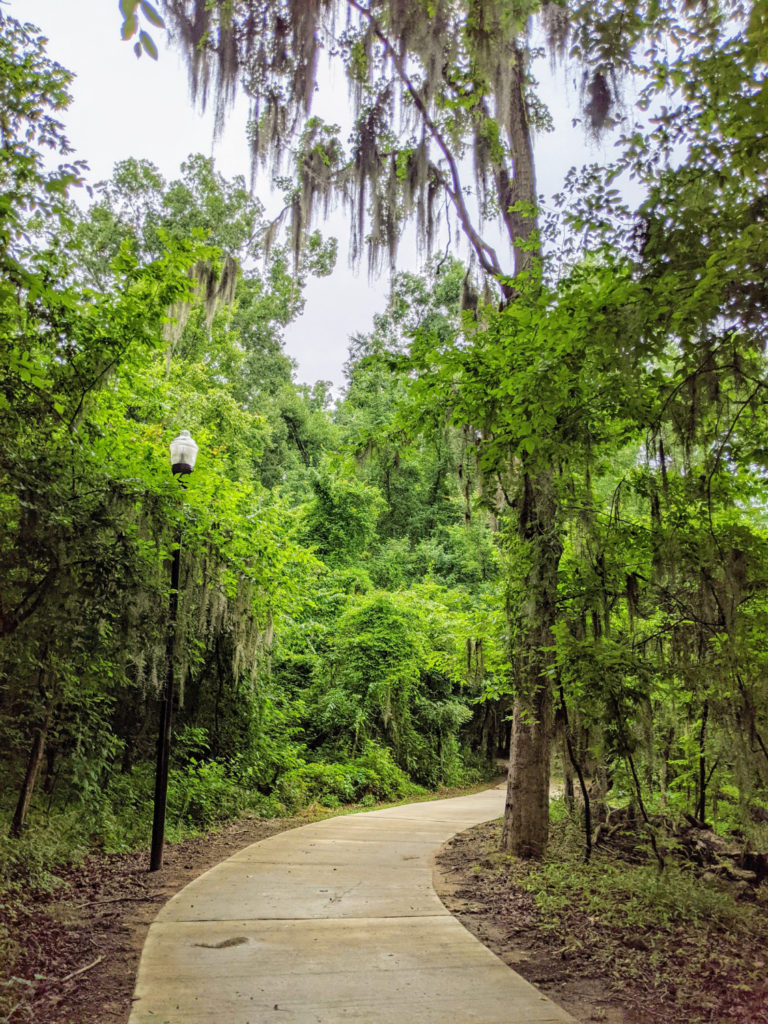
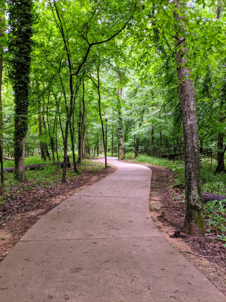
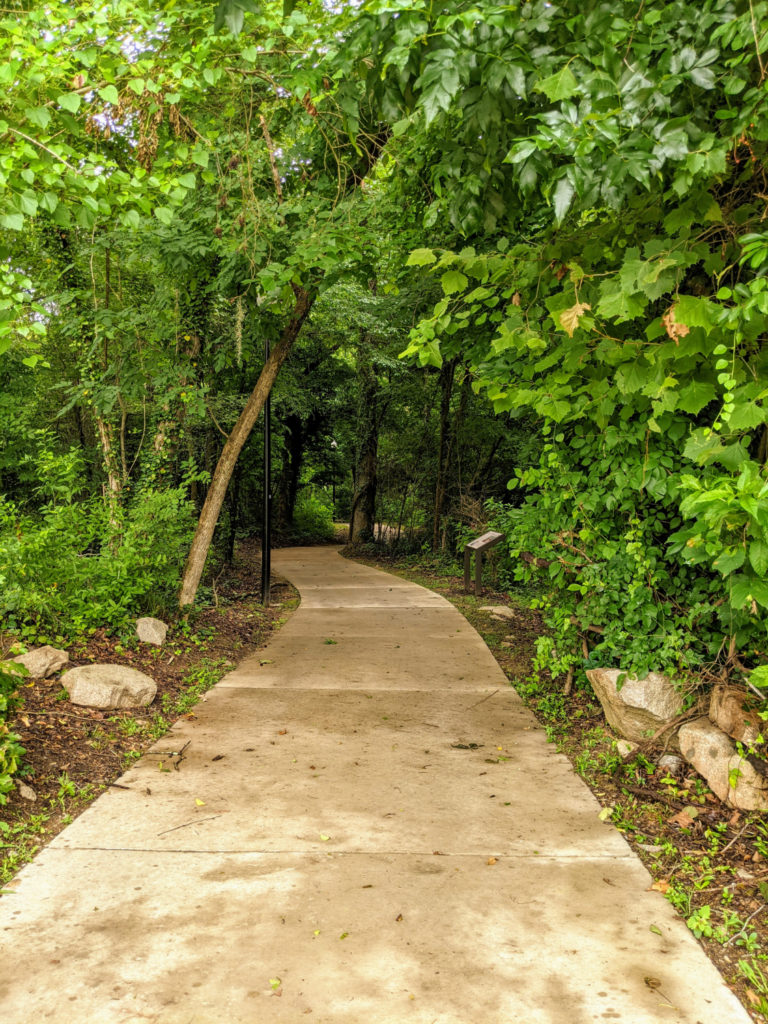
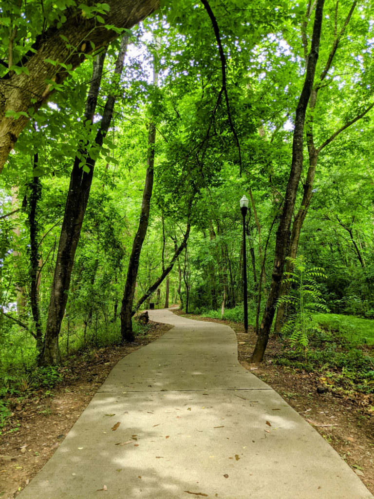
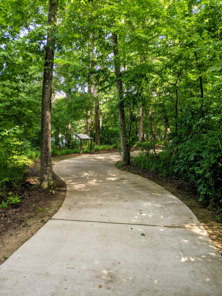
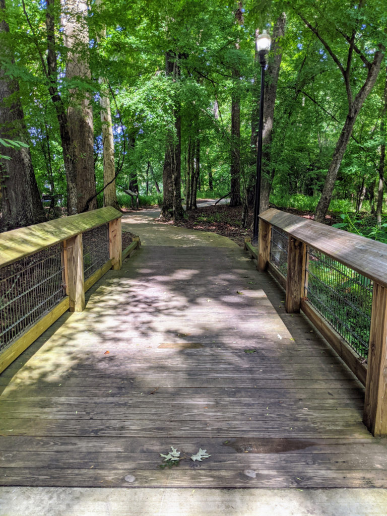
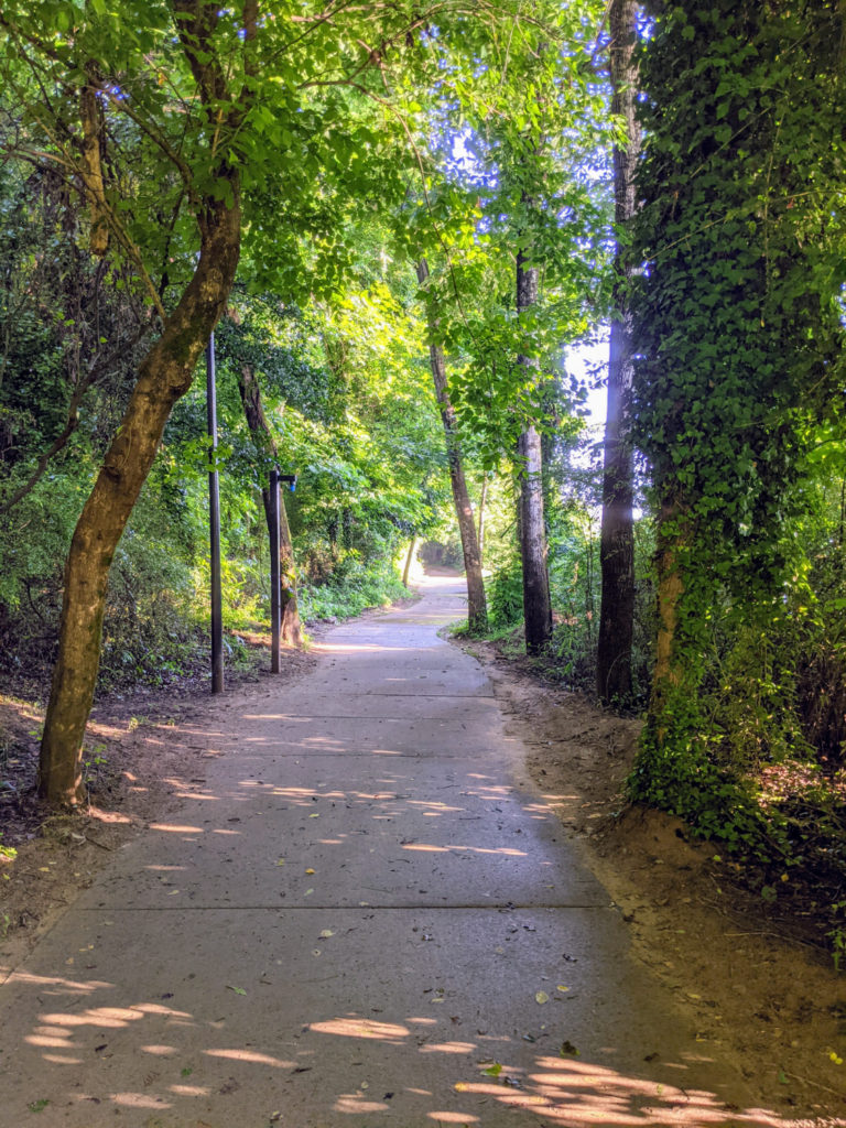
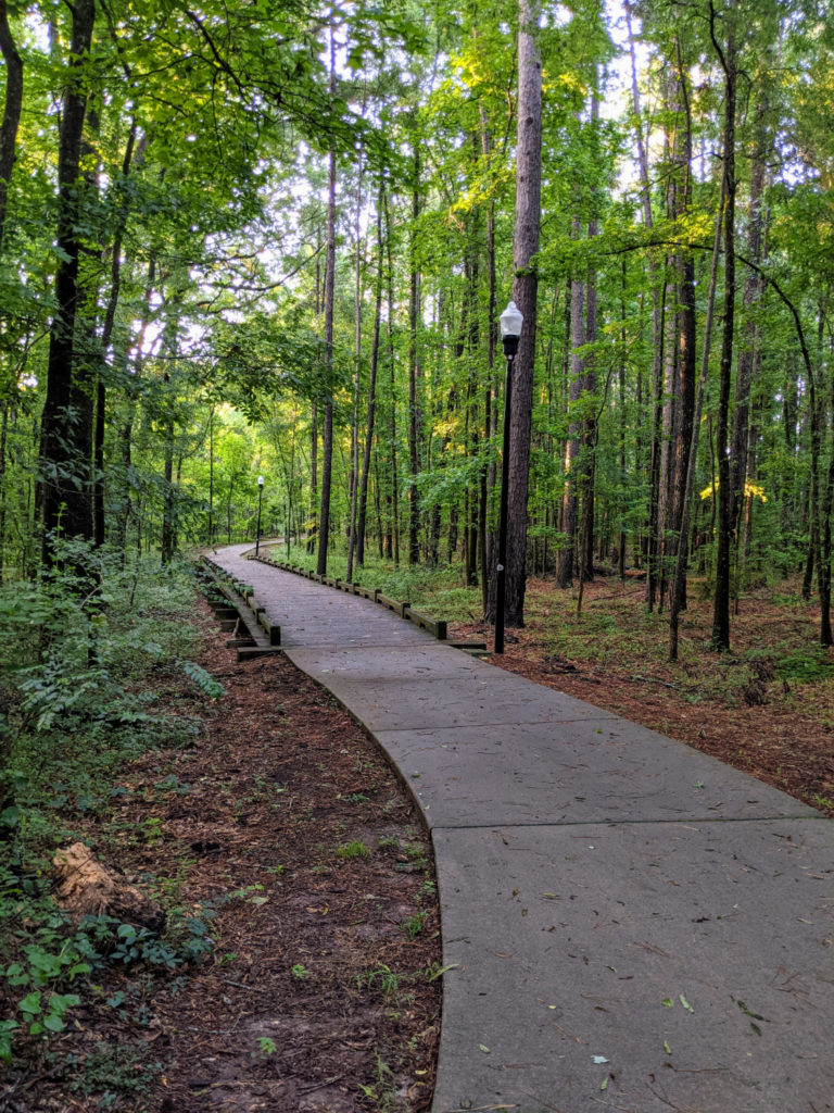
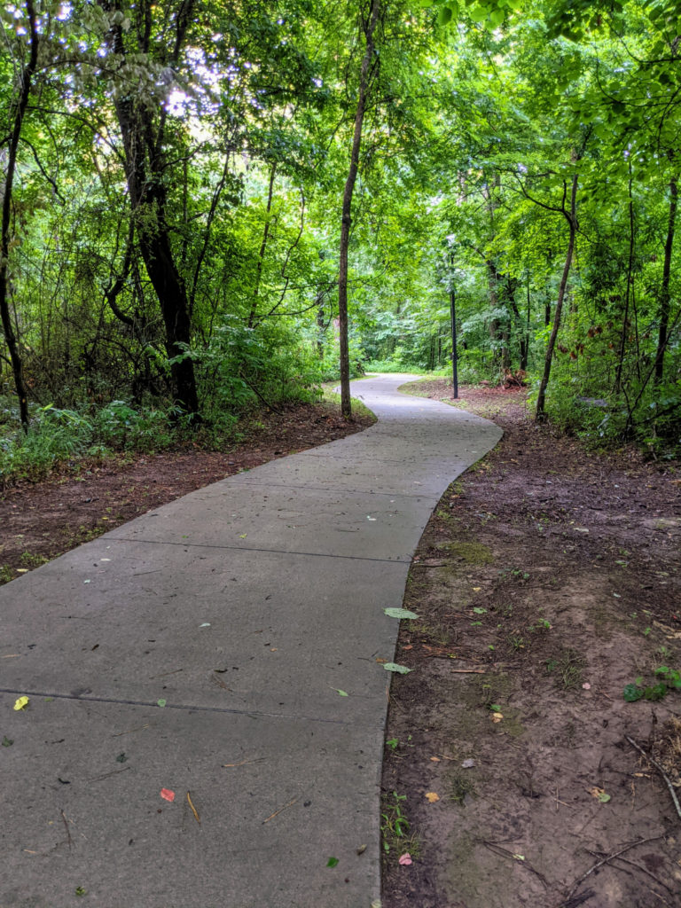
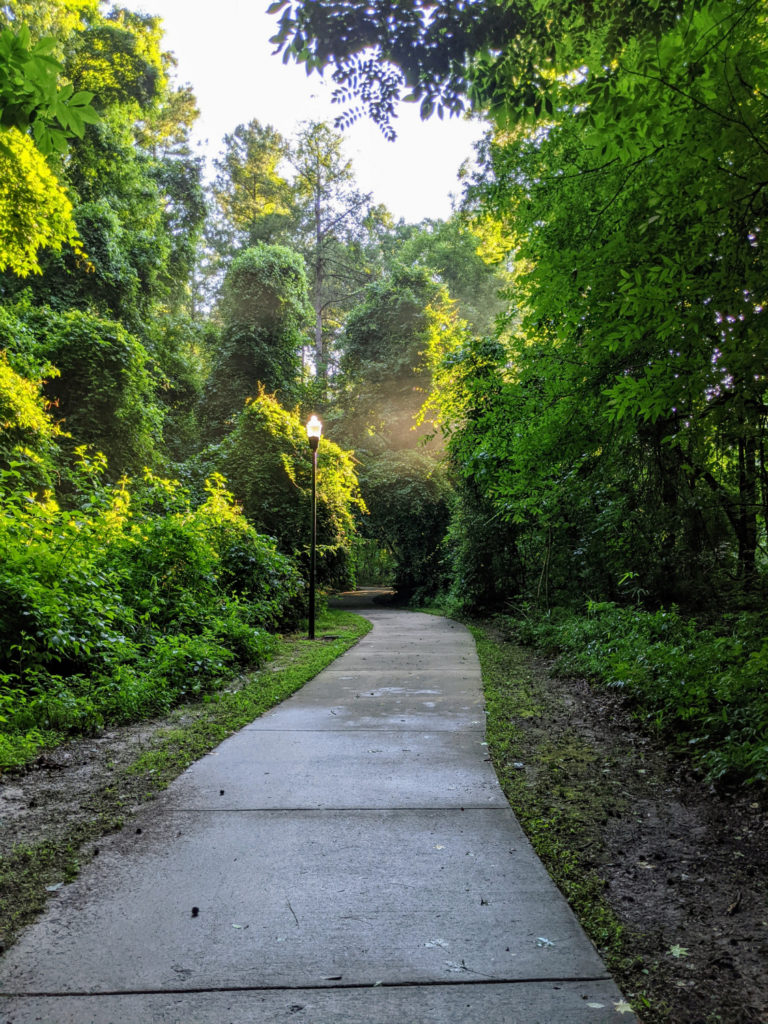
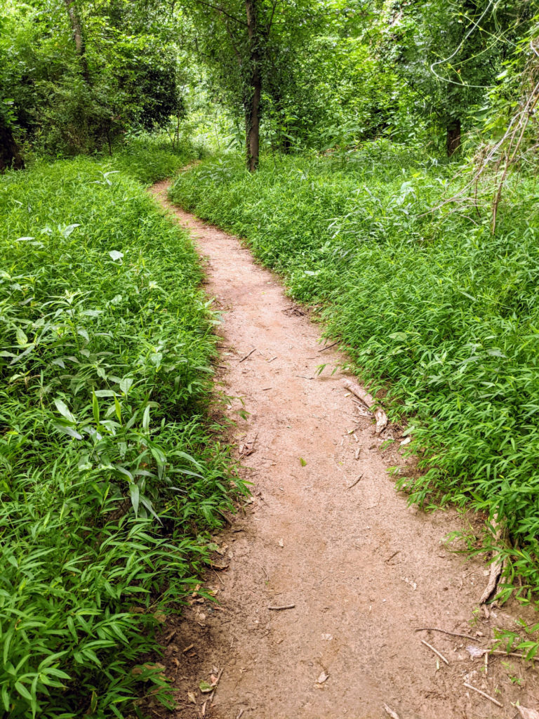
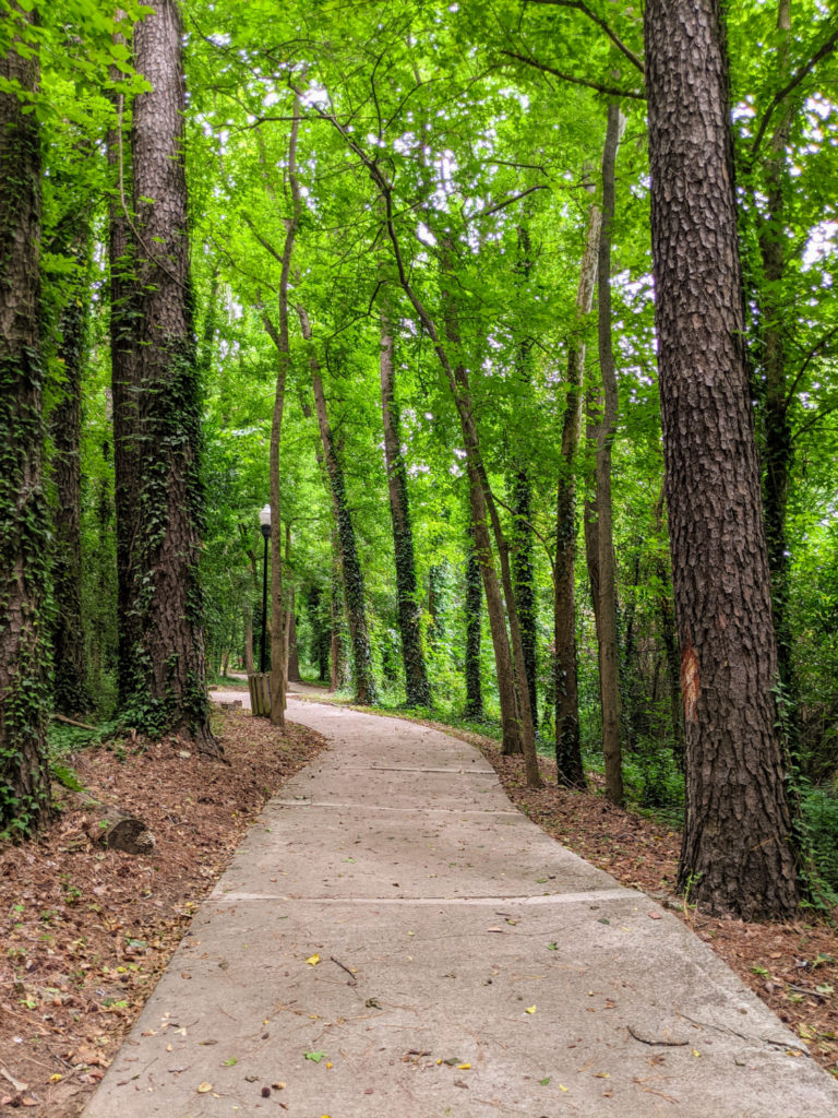
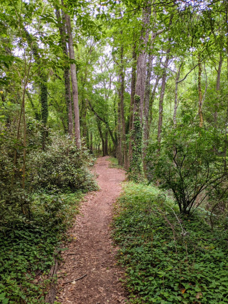
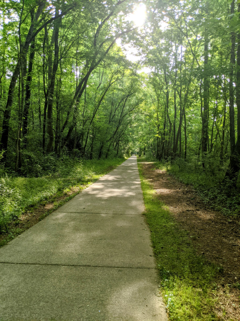
The West Columbia Riverwalk is my favorite and the only one I walked the entire length of twice. There aren’t mile markers on the path, but Google says it’s 2.2 miles from the amphitheater to H. Kelley Jones Park. If you walk from a smaller parking lot off Sunset Road (which I’ll explain below), it’s about 3 miles one way, making it a 6-mile round trip.
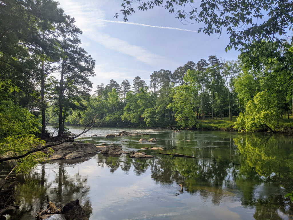
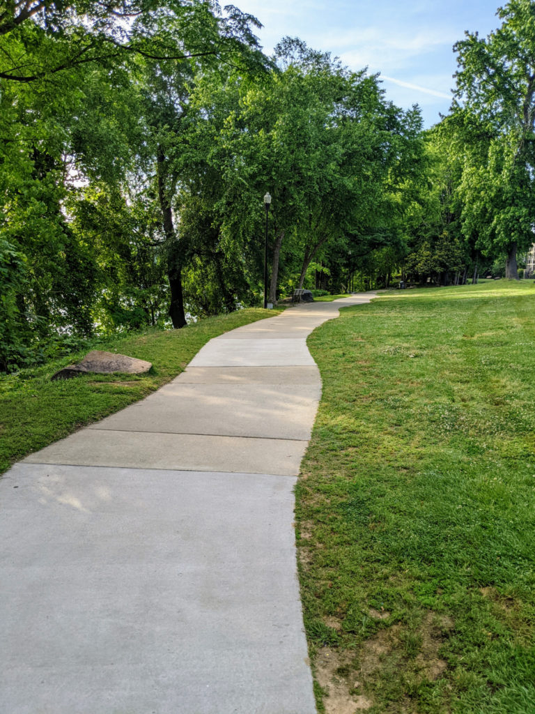
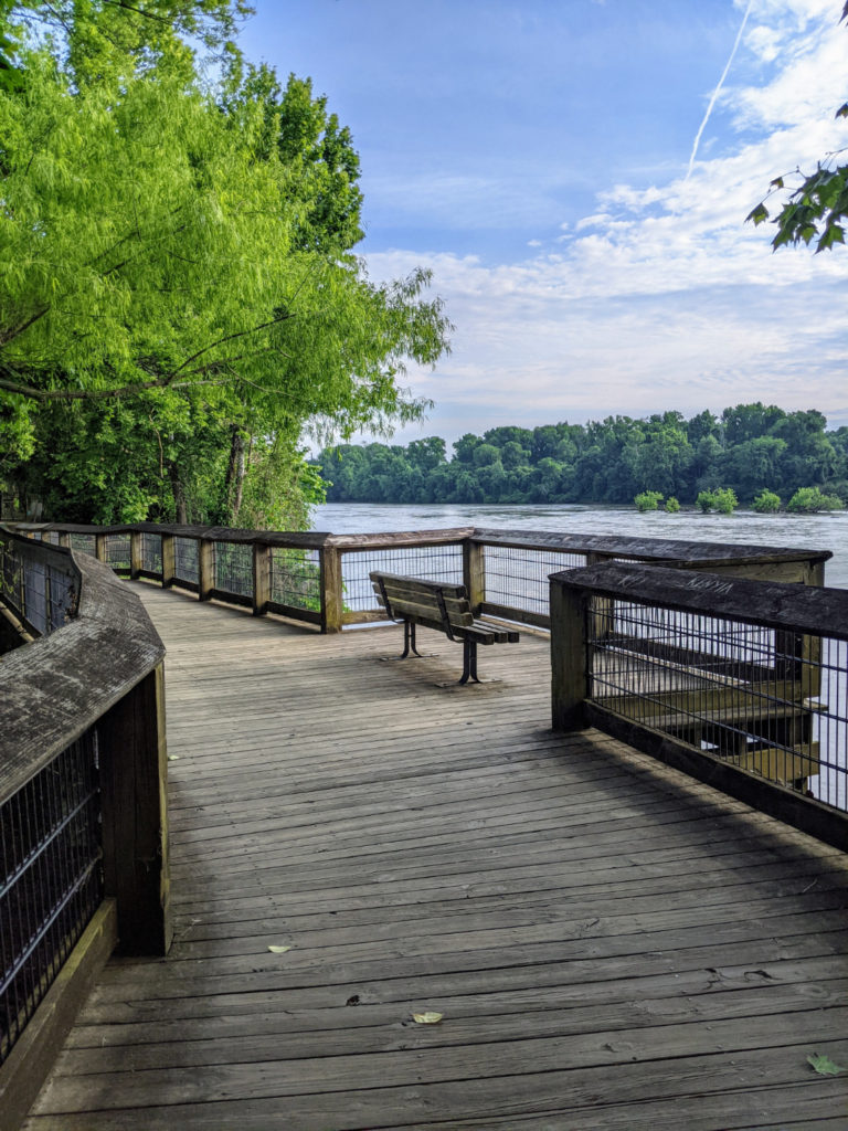
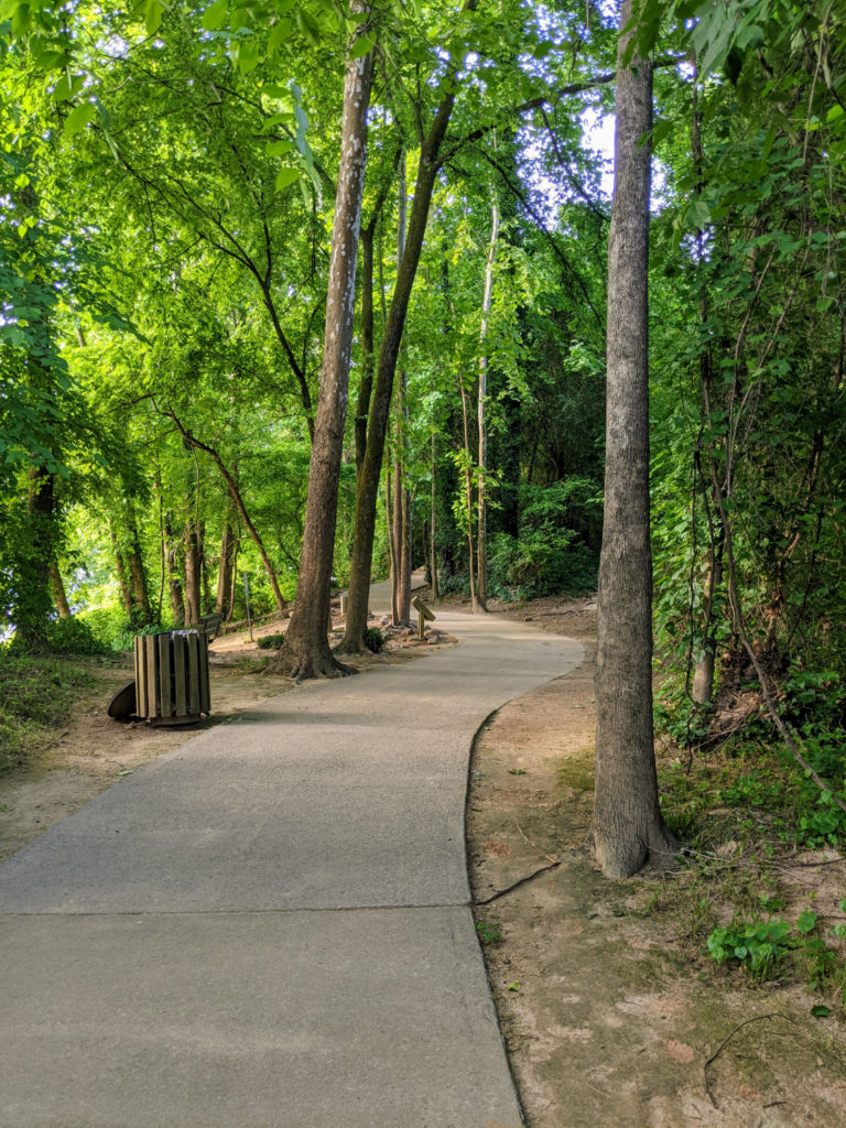
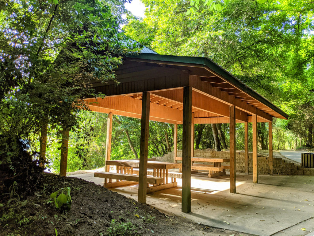
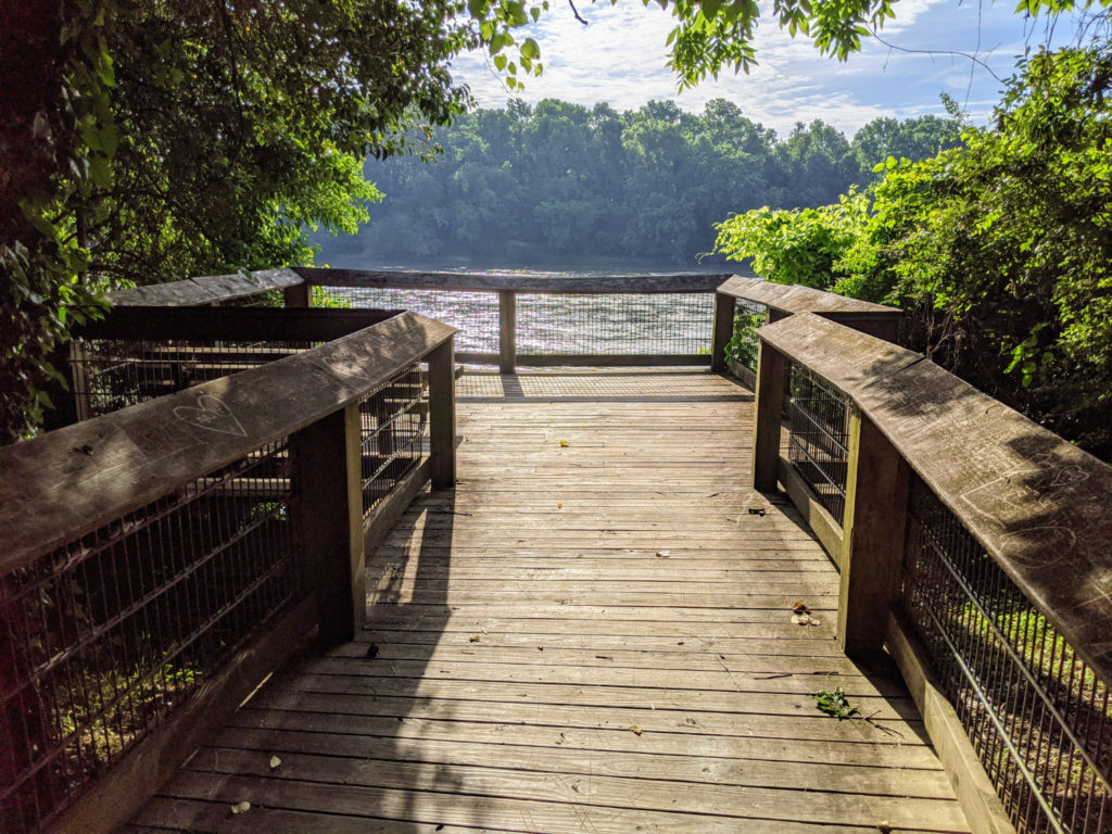
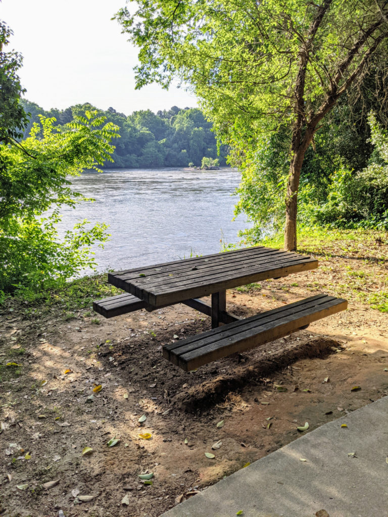
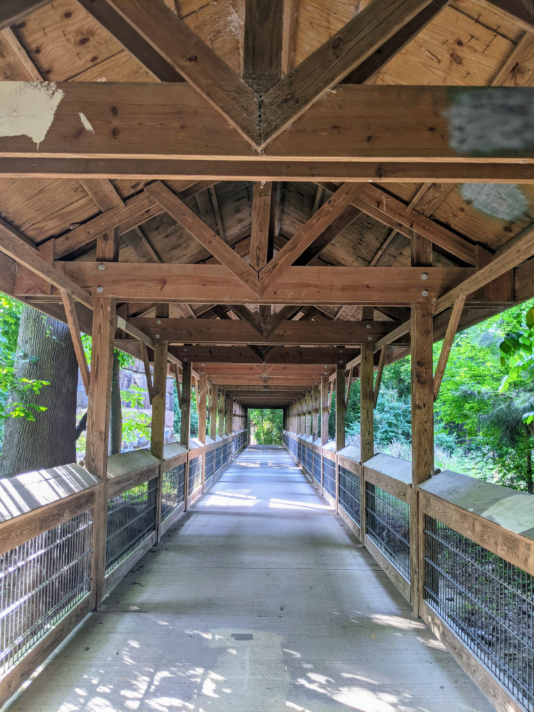
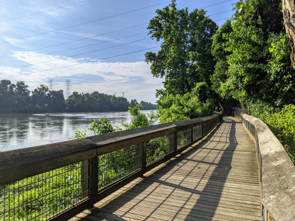
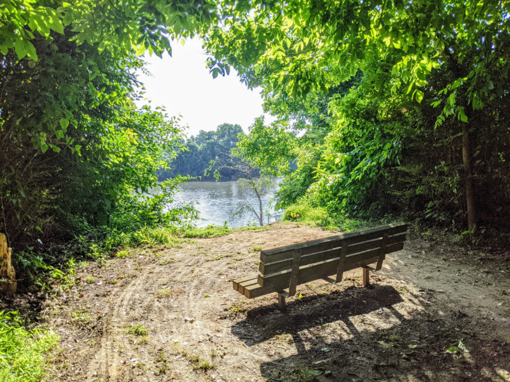
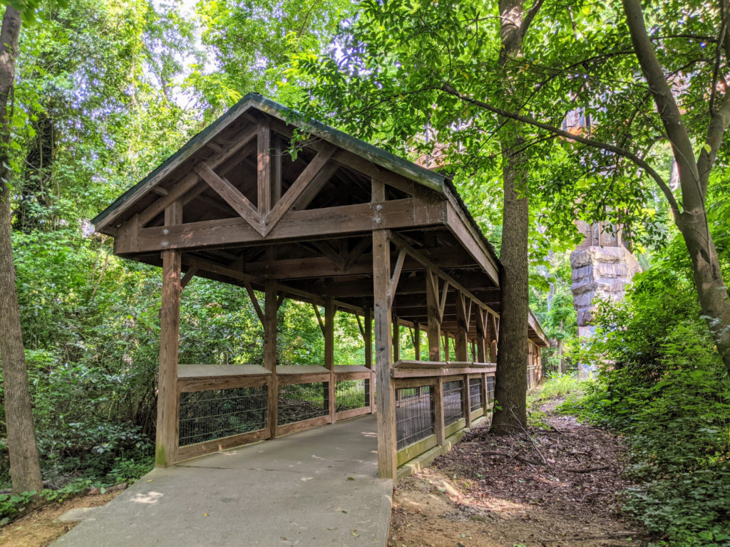
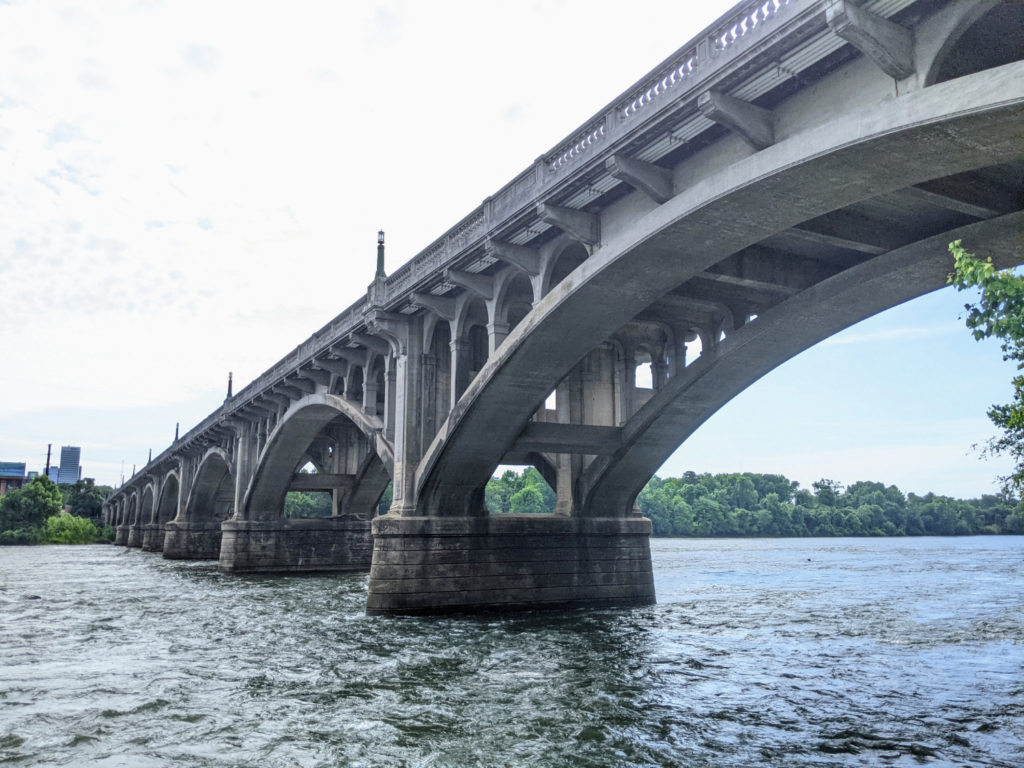
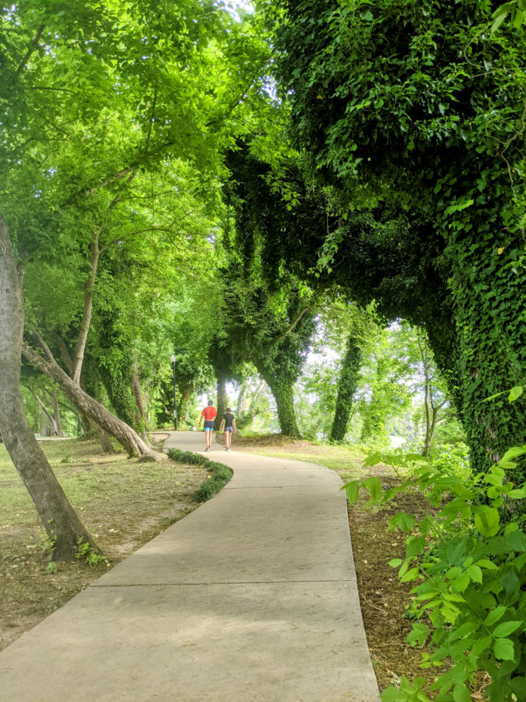
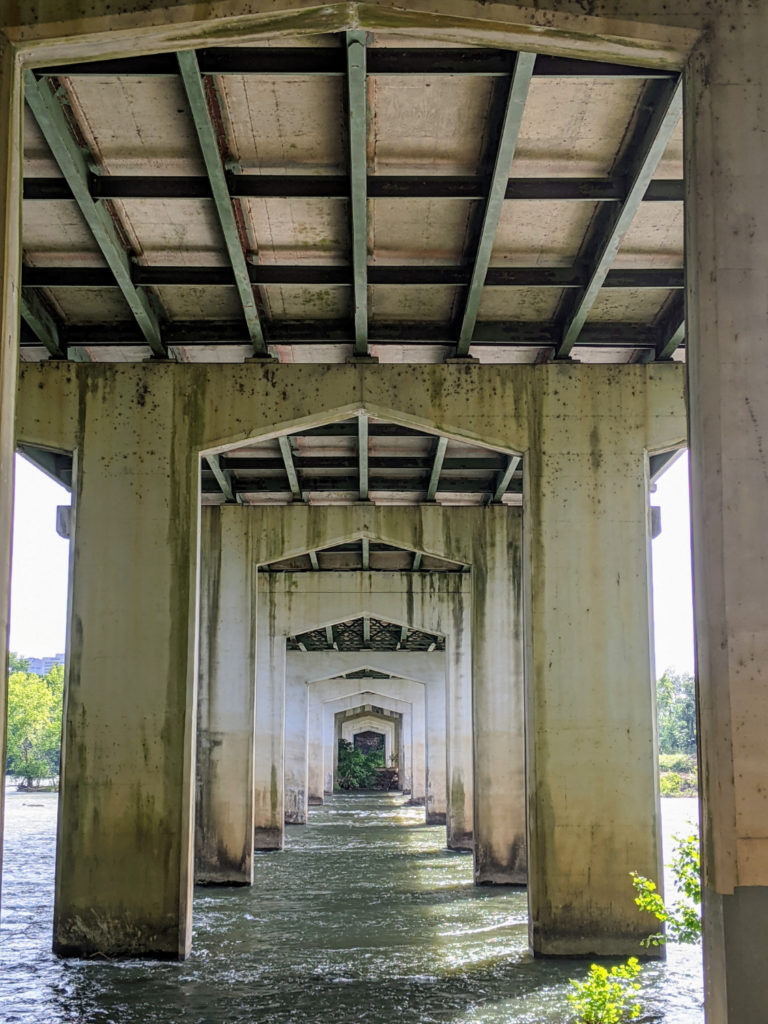
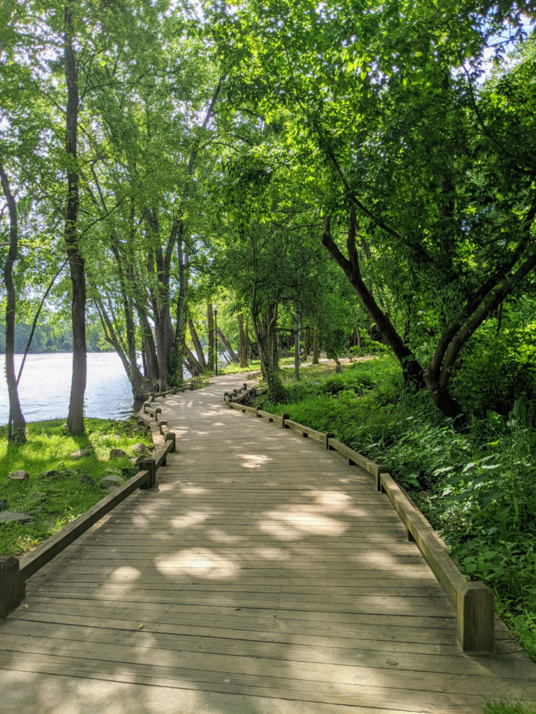
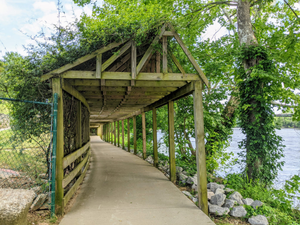
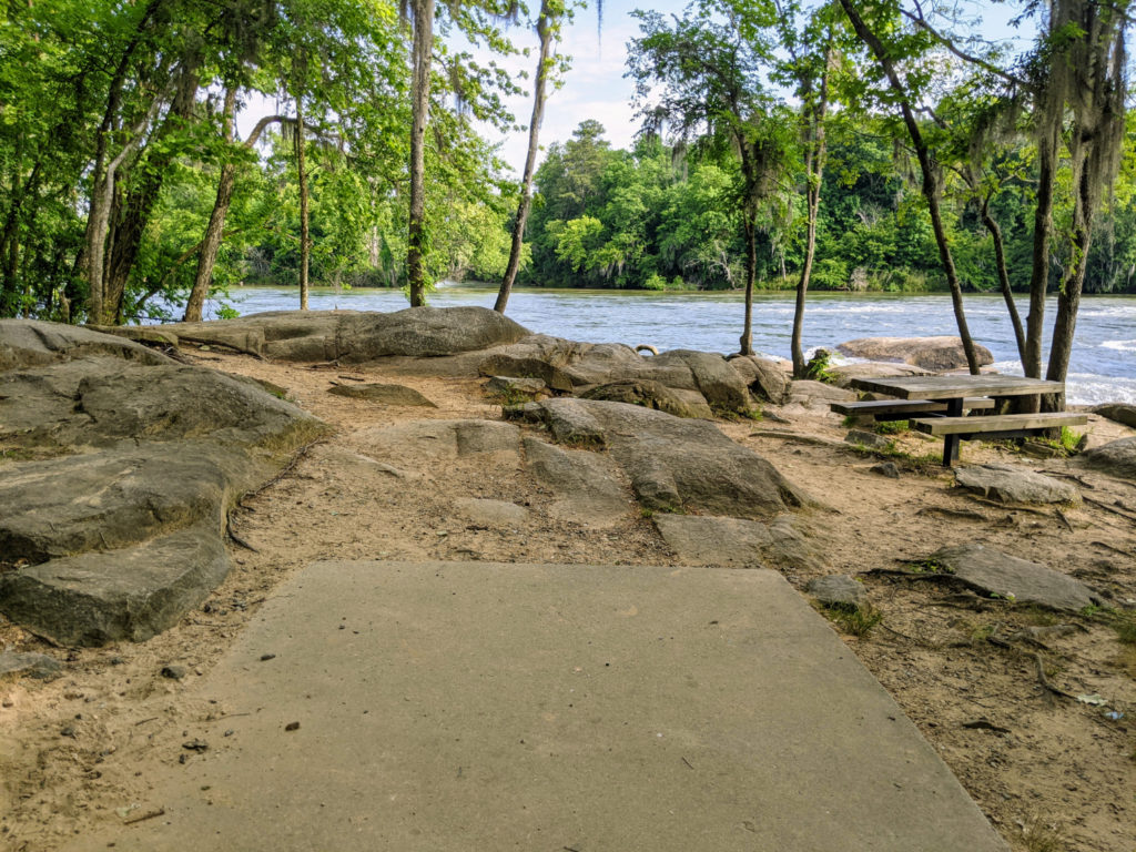
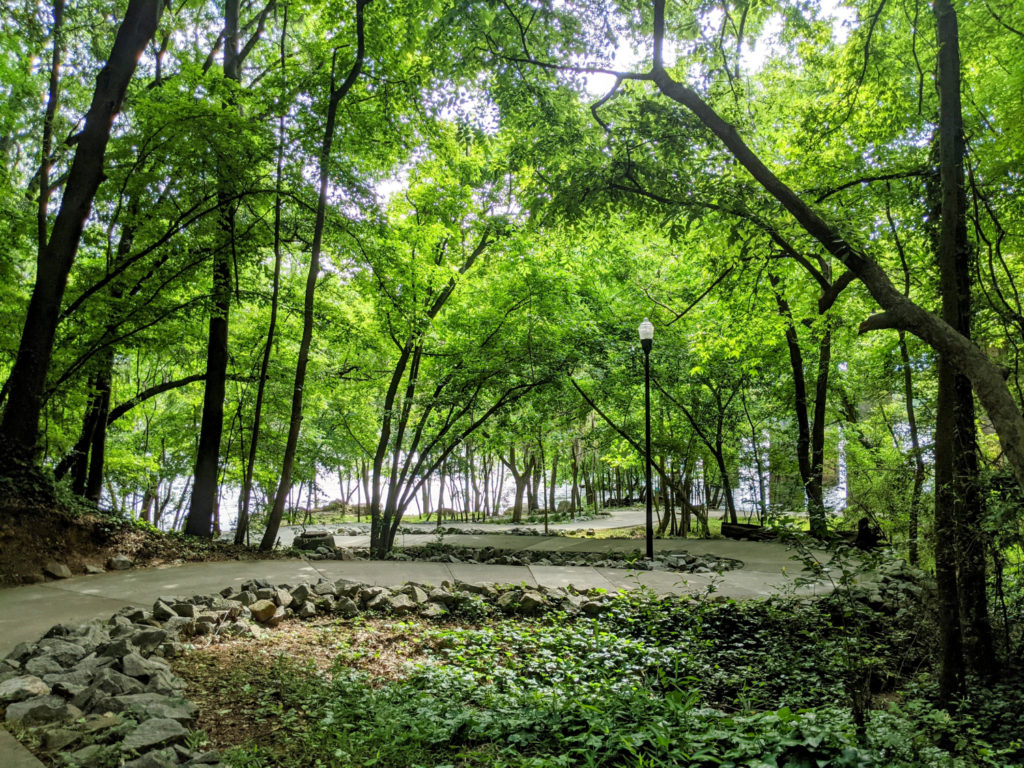
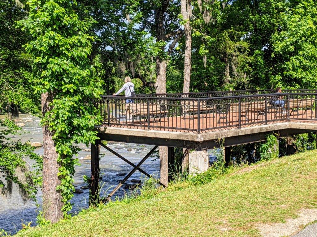
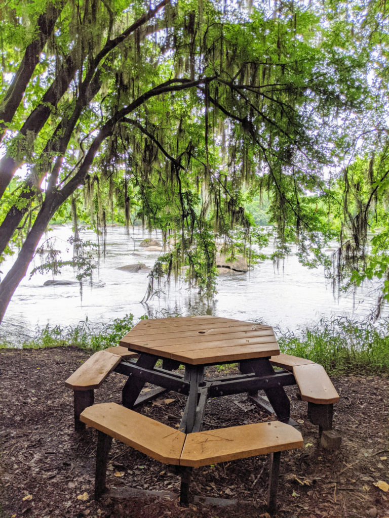
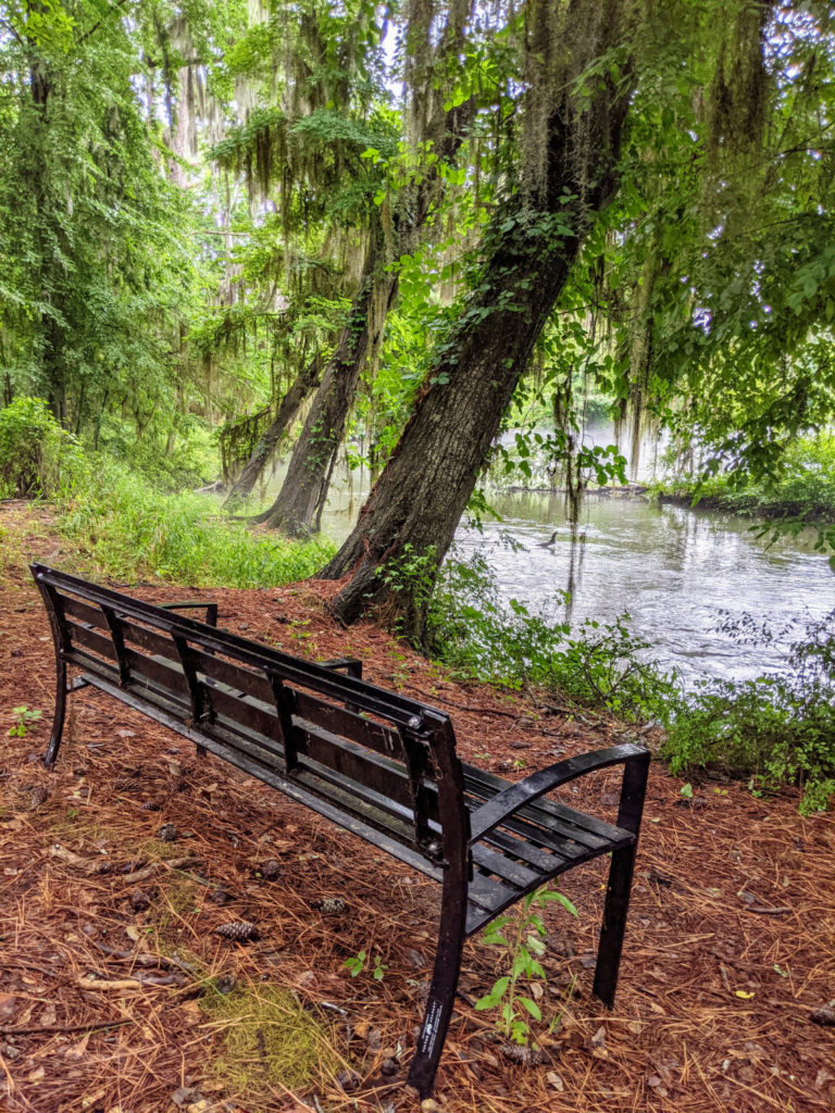
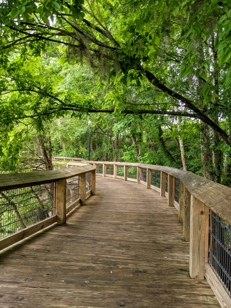
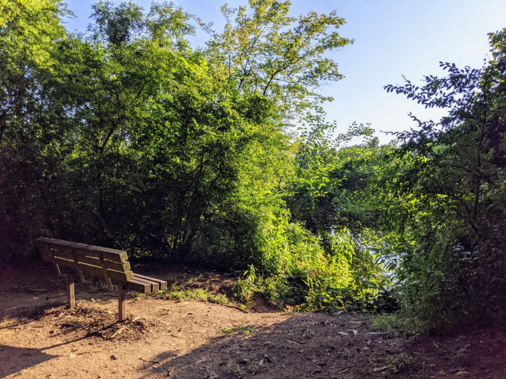
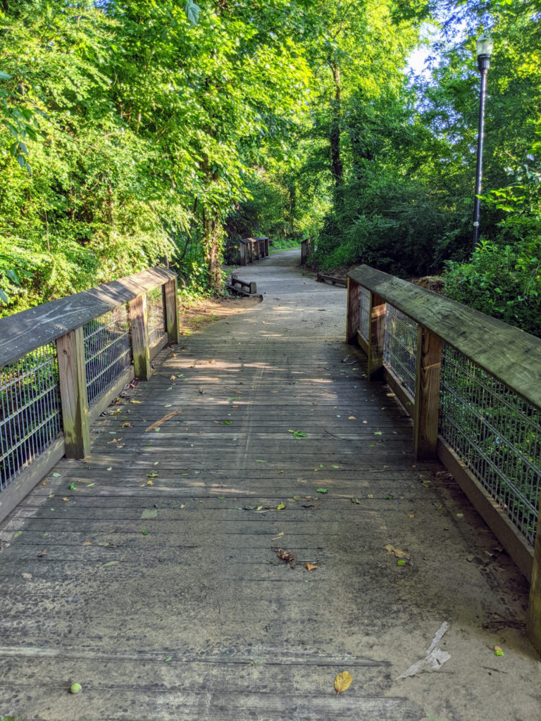
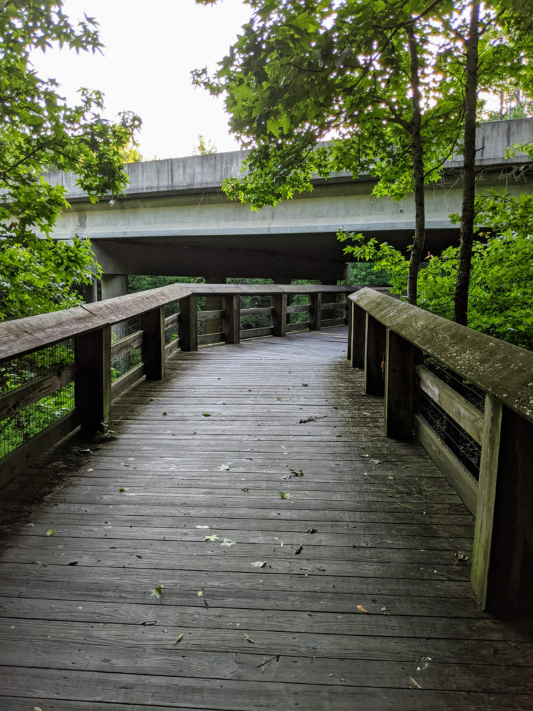
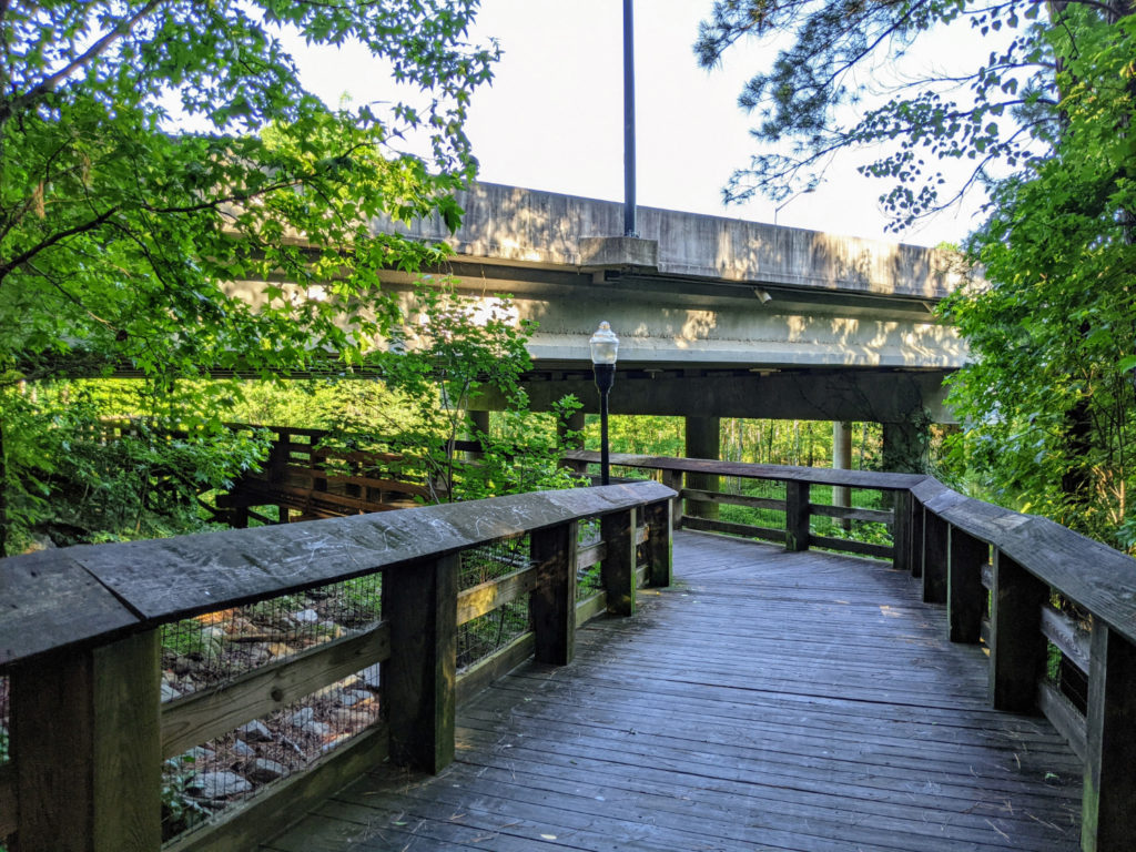
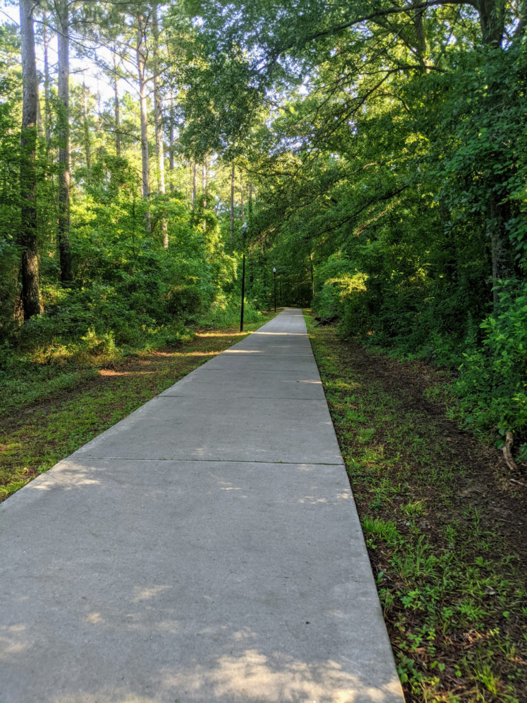
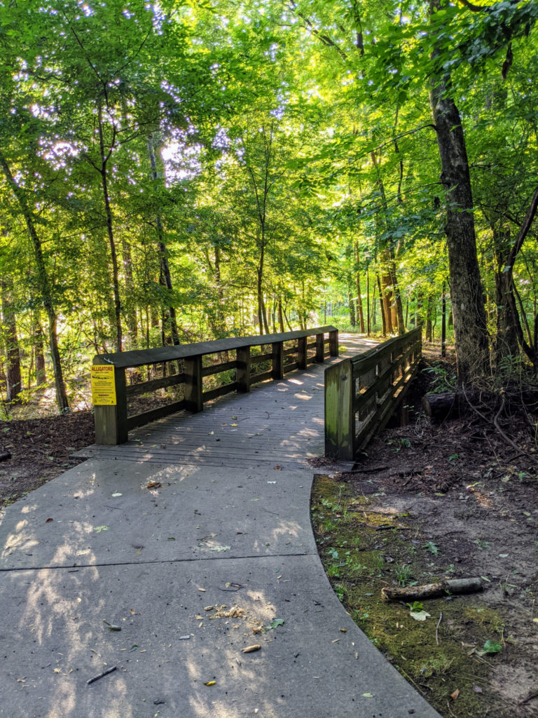
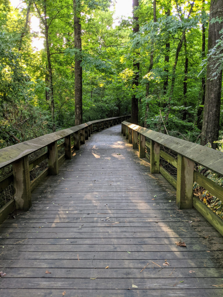
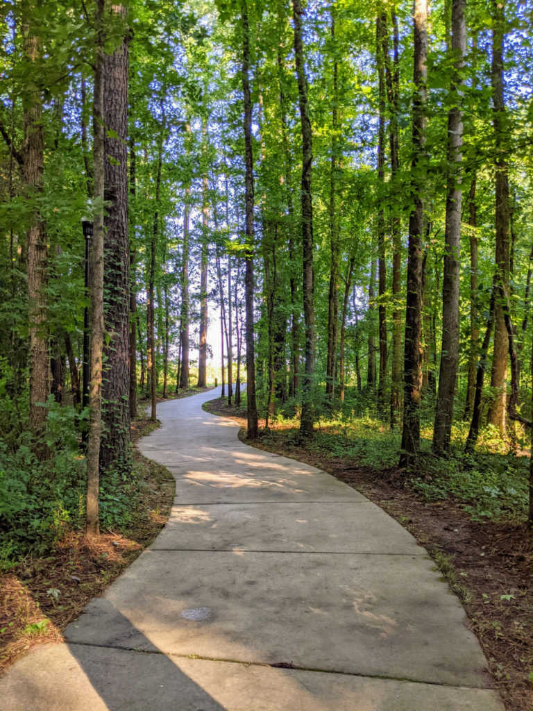
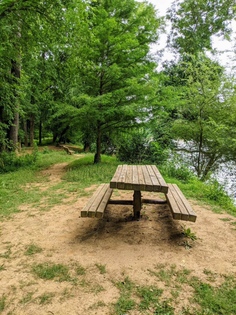
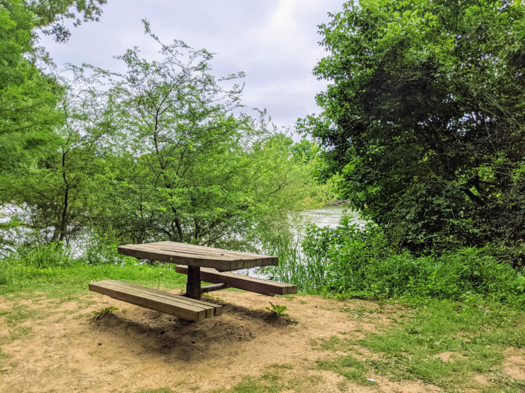
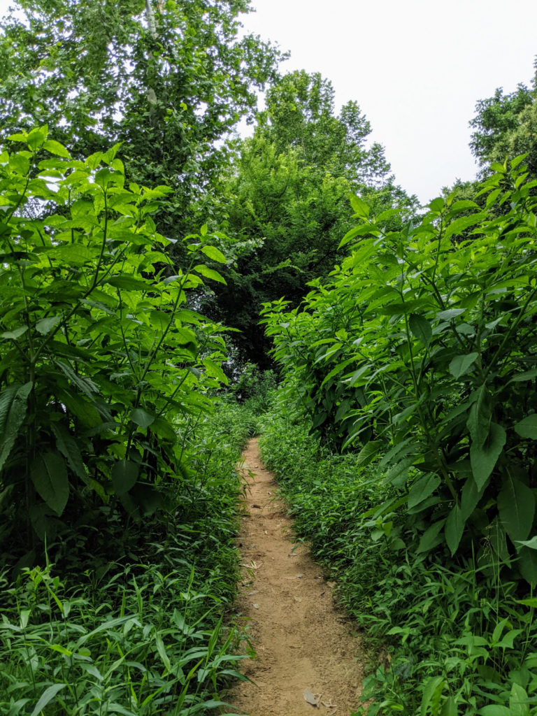
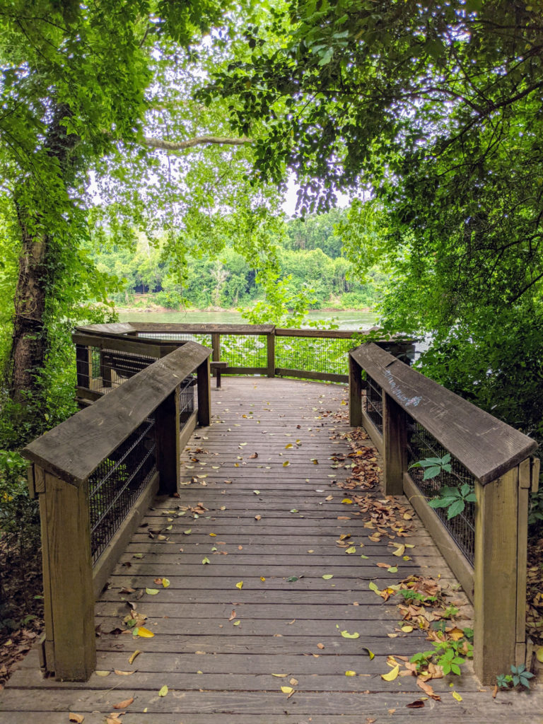
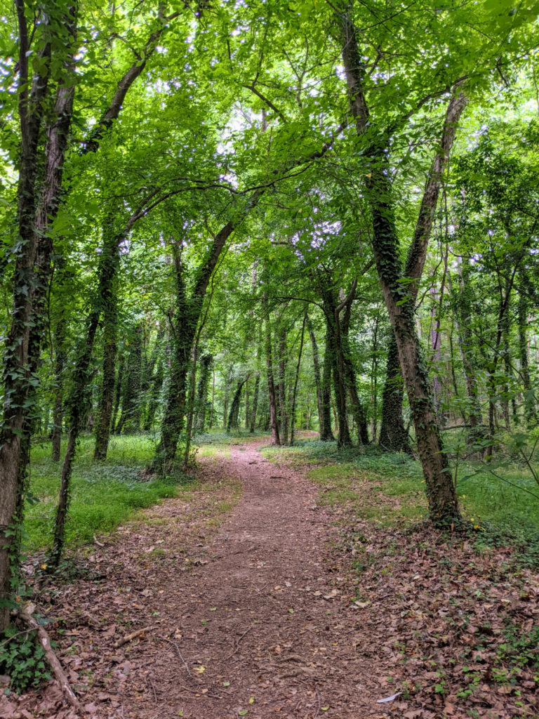
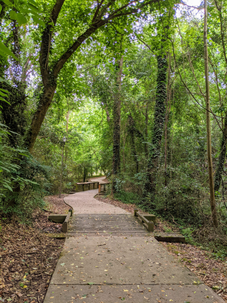
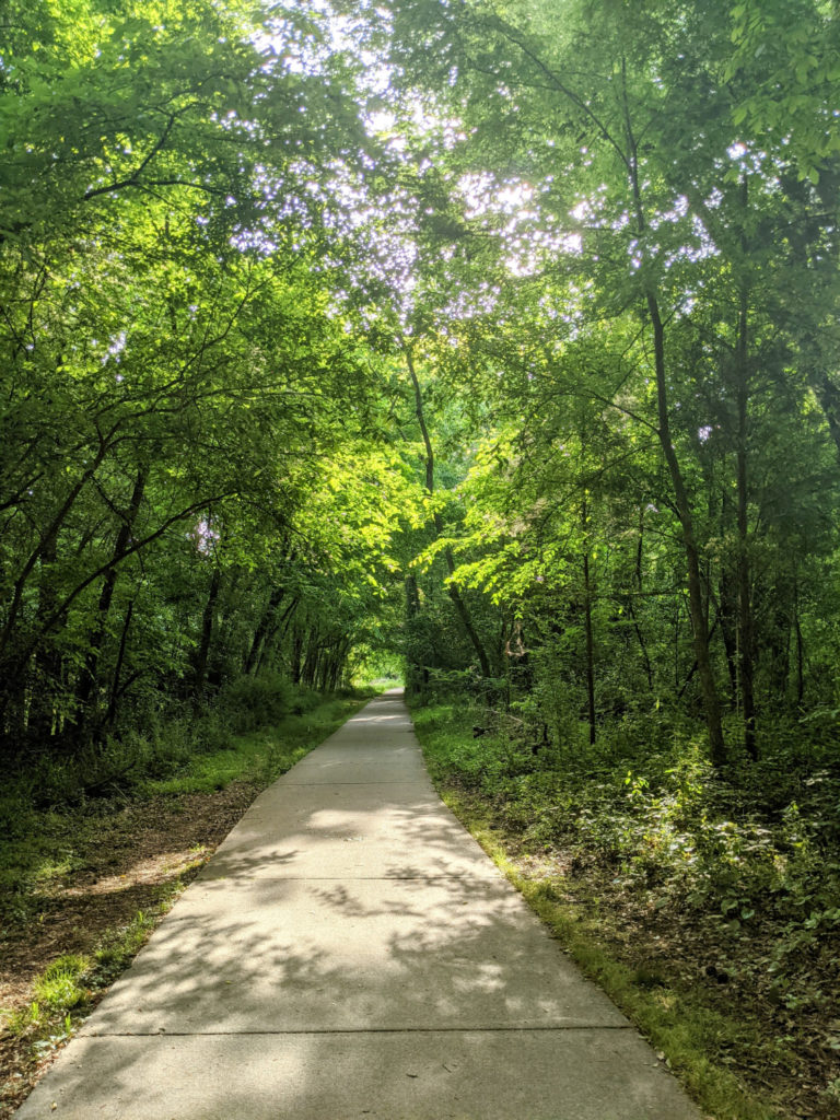
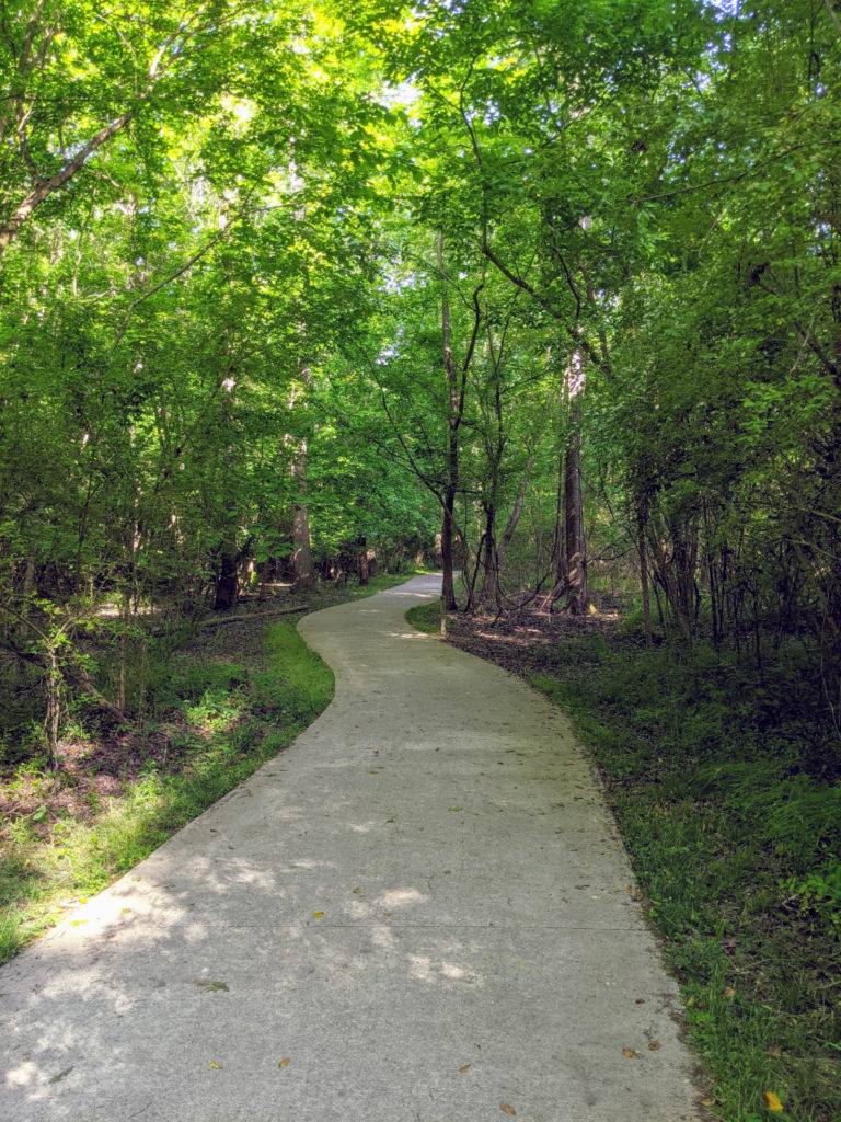
The West Columbia portion is very scenic, with pretty low-lying areas which get misty in the mornings. There’s a boardwalk under the Gervais Street Bridge and several more along the way. Some are like covered bridges that go under the railroad tracks. A portion near the amphitheater features some beautiful houses to look at while you’re walking. It’s winding and interesting with lots of benches and picnic tables. And there’s a larger, two-table pavilion near the Cayce Riverwalk Picnic Shelter (the one on Naples Street.)
Facilities & Parking
There are four parking lots and three bathrooms along the West Columbia Riverwalk. At the north end, just off Sunset Road, there’s a small parking lot at the end of Moffat Street. Look for the cute car dealership and turn down Moffat, almost parallel to Sunset. Keep going when it says “road ends.” Or try Googling “Pollo Loco Parking Lot,” which seems to work. The main parking lot and bathrooms are at a small amphitheater next to the Gervais Bridge, or you can Google “West Columbia Riverwalk Park and Amphitheater” for directions. About halfway down is a spur off to the Cayce Riverwalk Picnic Shelter on Naples Street with parking and bathrooms. Then at the south end, there are parking, bathrooms, and picnic facilities at H. Kelley Jones Park on Brookcliff Rd & Riverland Dr.
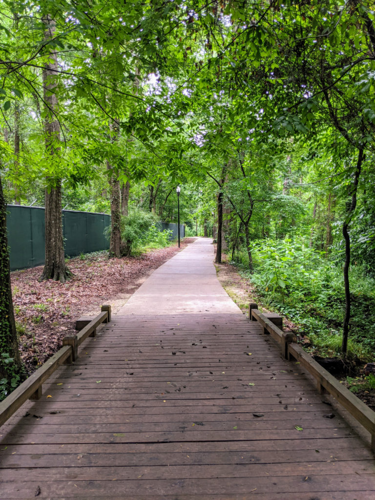
There are a few other access paths along this stretch – at the Blossom Street Bridge, from Lyles Street near State Street, and a long stretch from the intersection of New State Road and Godley Street. (Maybe? It’s hard to tell.) Unfortunately, none of these have official parking or bathrooms, and I didn’t walk any of these “inland” portions too far. You can also walk on the street from H. Kelley Jones Park to the more southern Cayce portion for a total of about 8 miles end-to-end.
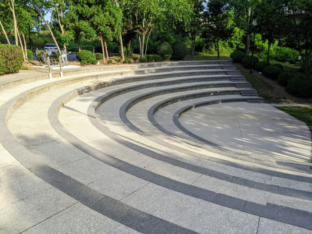
The amphitheater 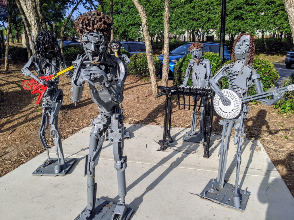
…with a metal rock band 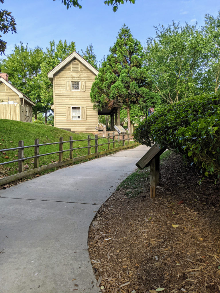
Bathrooms at the amphitheater 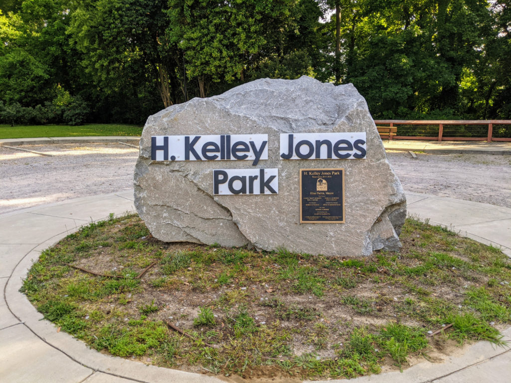
H. Kelley Jones Park at the other end 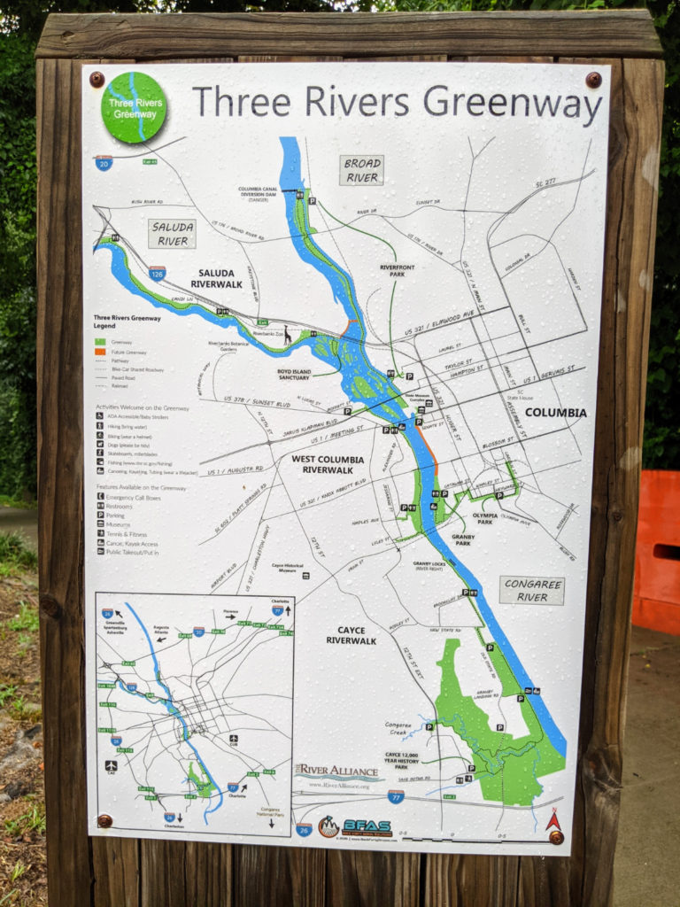
Map of all the riverwalks 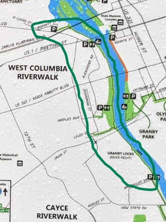
The West Columbia portion 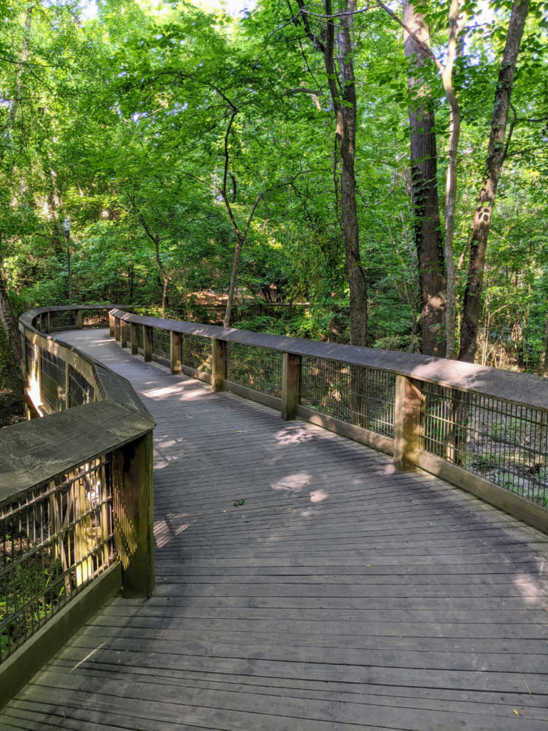
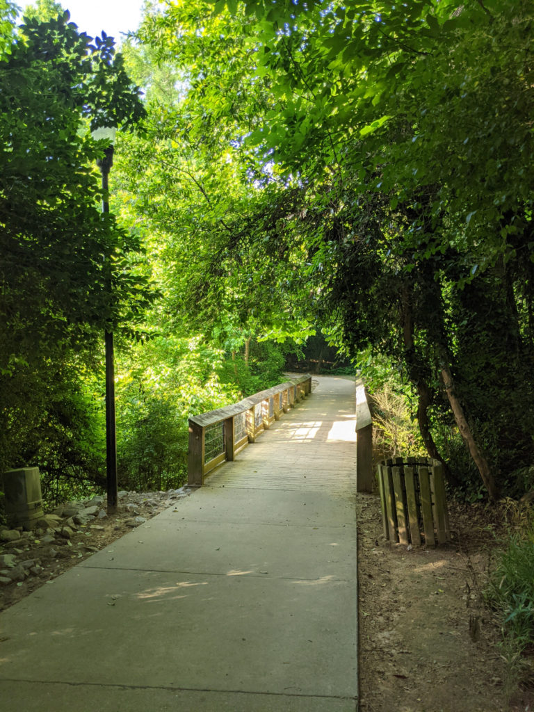
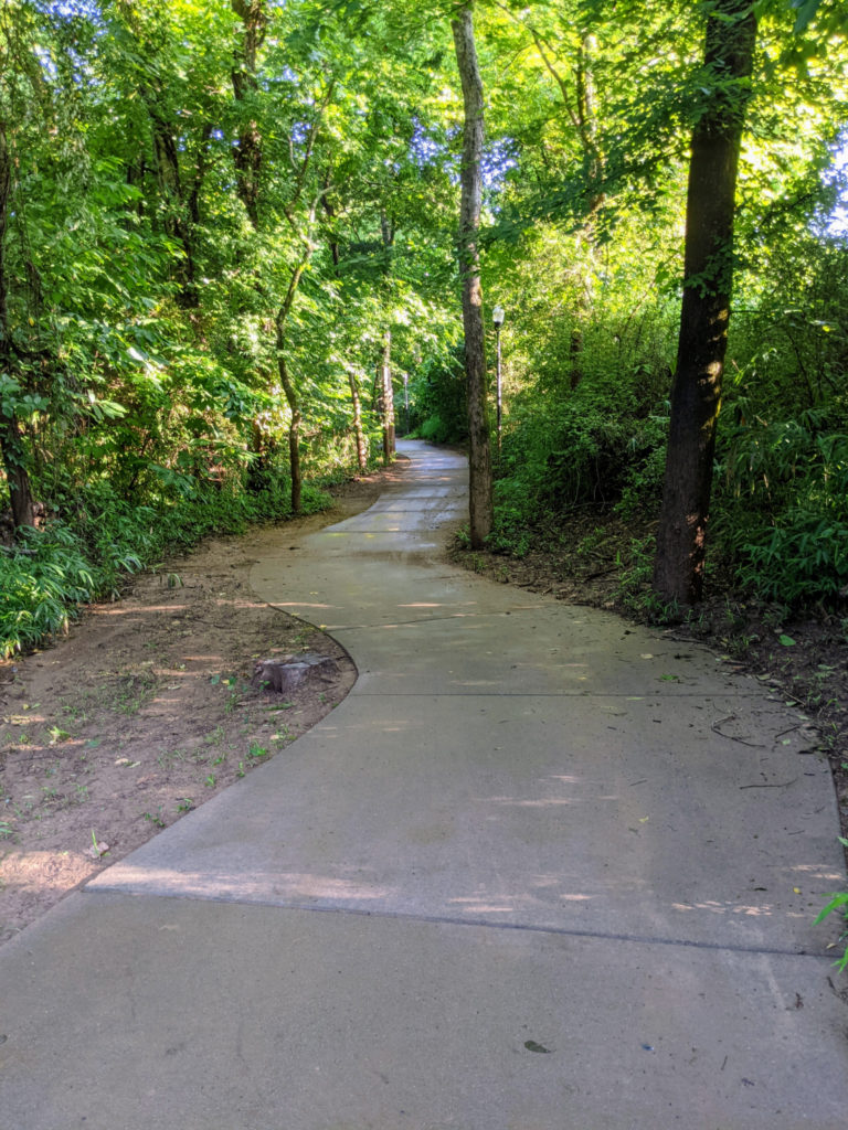
The boardwalk that leads to New State Rd & Godley St (I think)
Columbia Canal & Riverfront Park
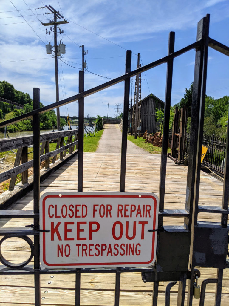
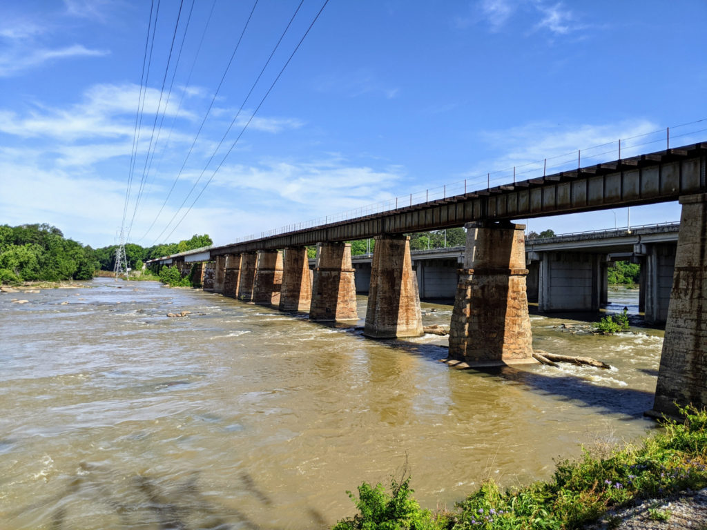
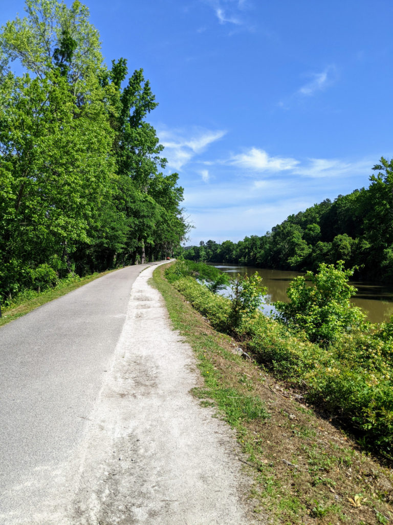
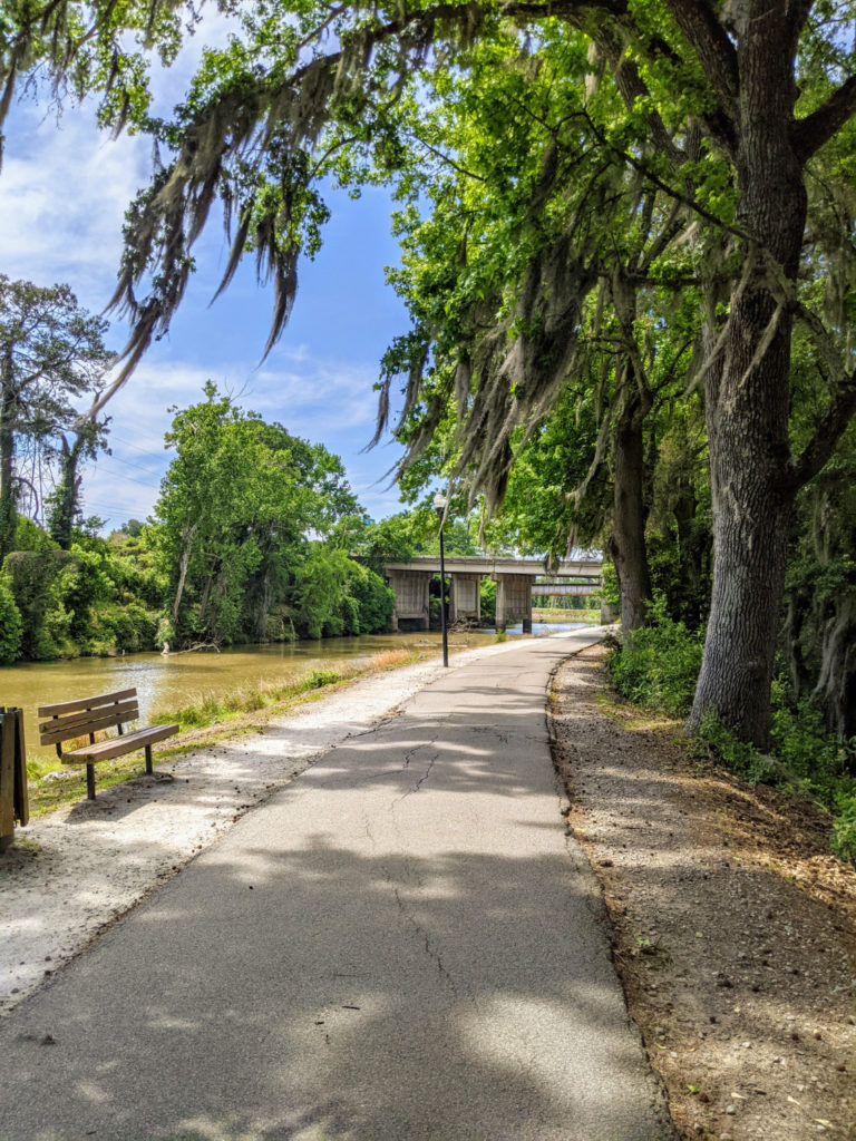
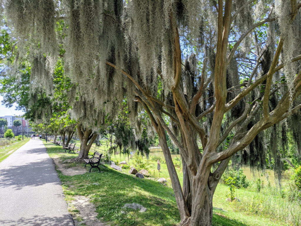
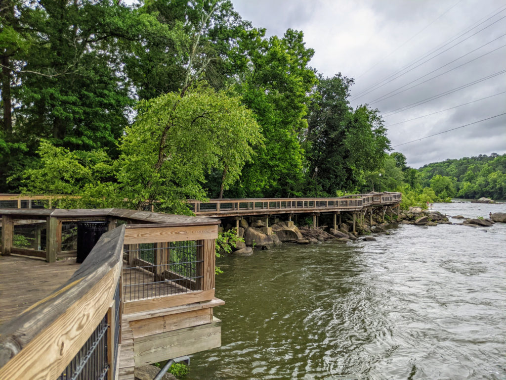
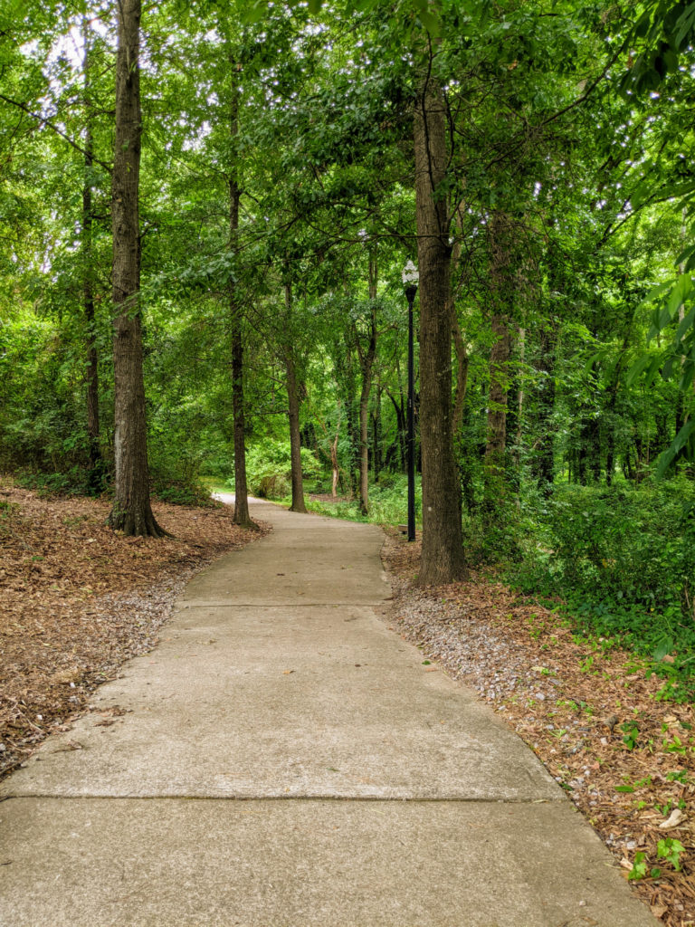
The Columbia Canal and Riverfront Park seems to be the primary section of the Three Rivers Greenway system and is definitely the most crowded. There are mile markers along this section – this is the only stretch that does – and it’s just over 2.5 miles from the parking lot off Huger Street to the Broad River Canal Riverfront Park. A shaded trail makes a loop closer to the river, so you could start from the Broad River Canal end and make the shorter loop (2-3 miles?) or walk a little over 5 miles round-trip from the downtown end. A short spur heading south is currently closed.
Things to do/see
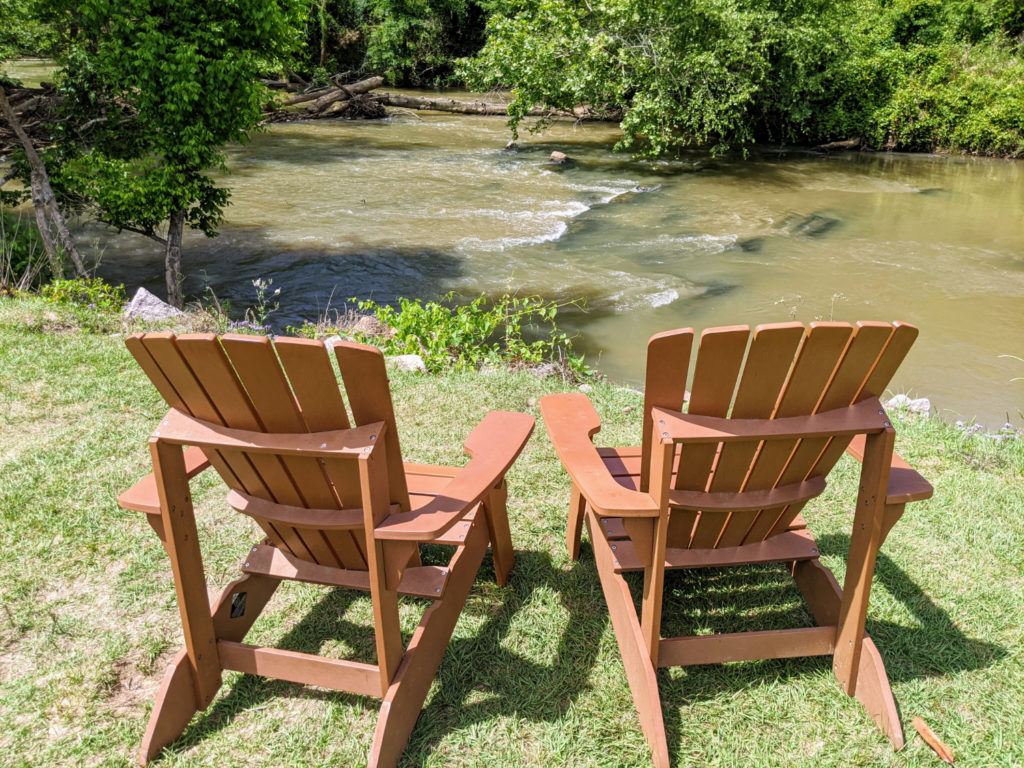
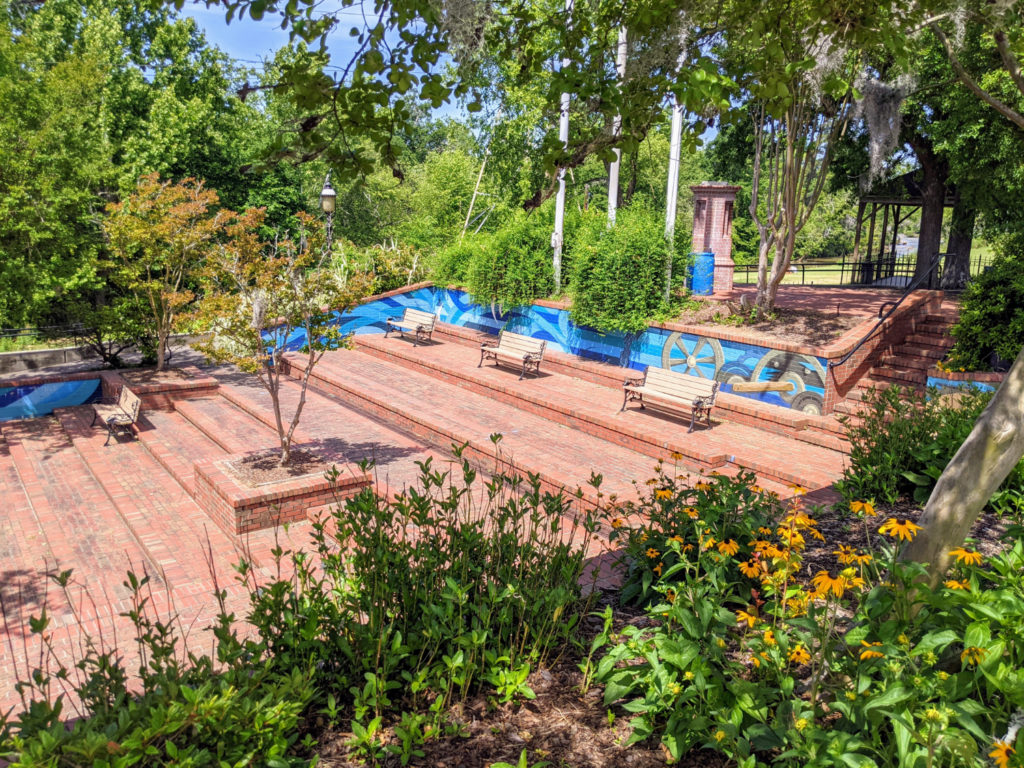
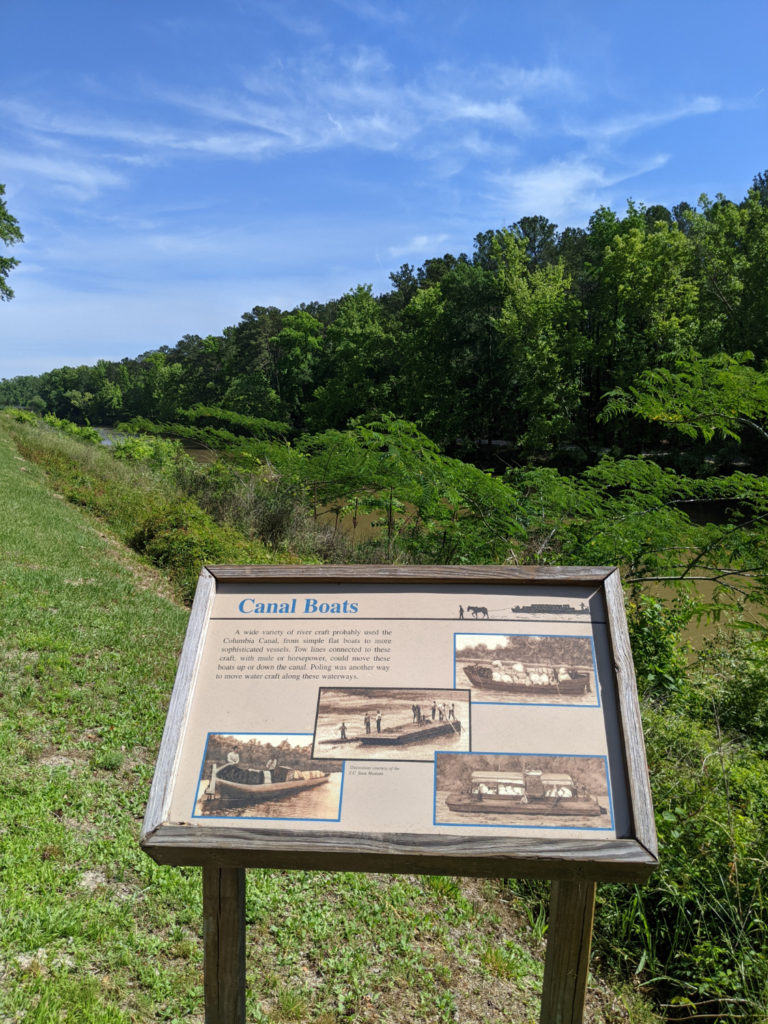
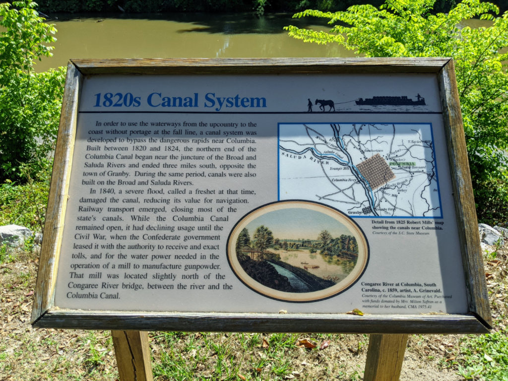
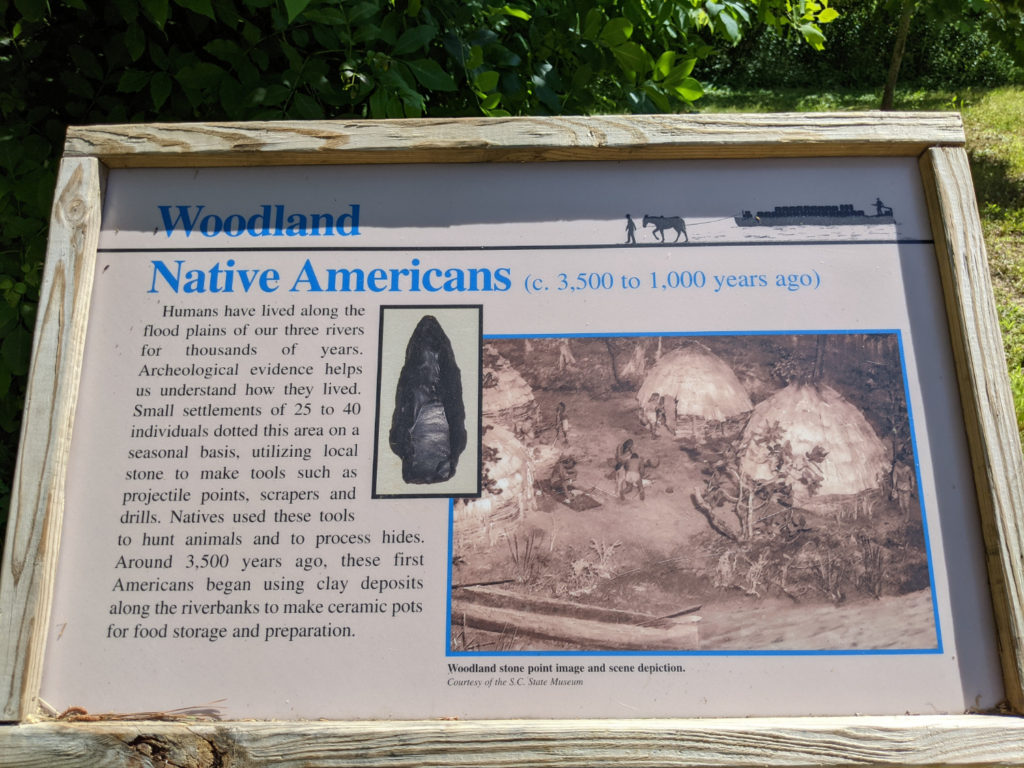
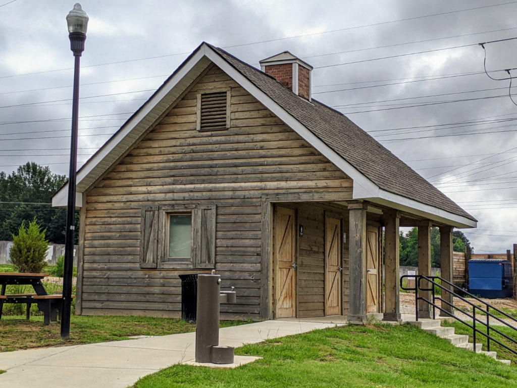
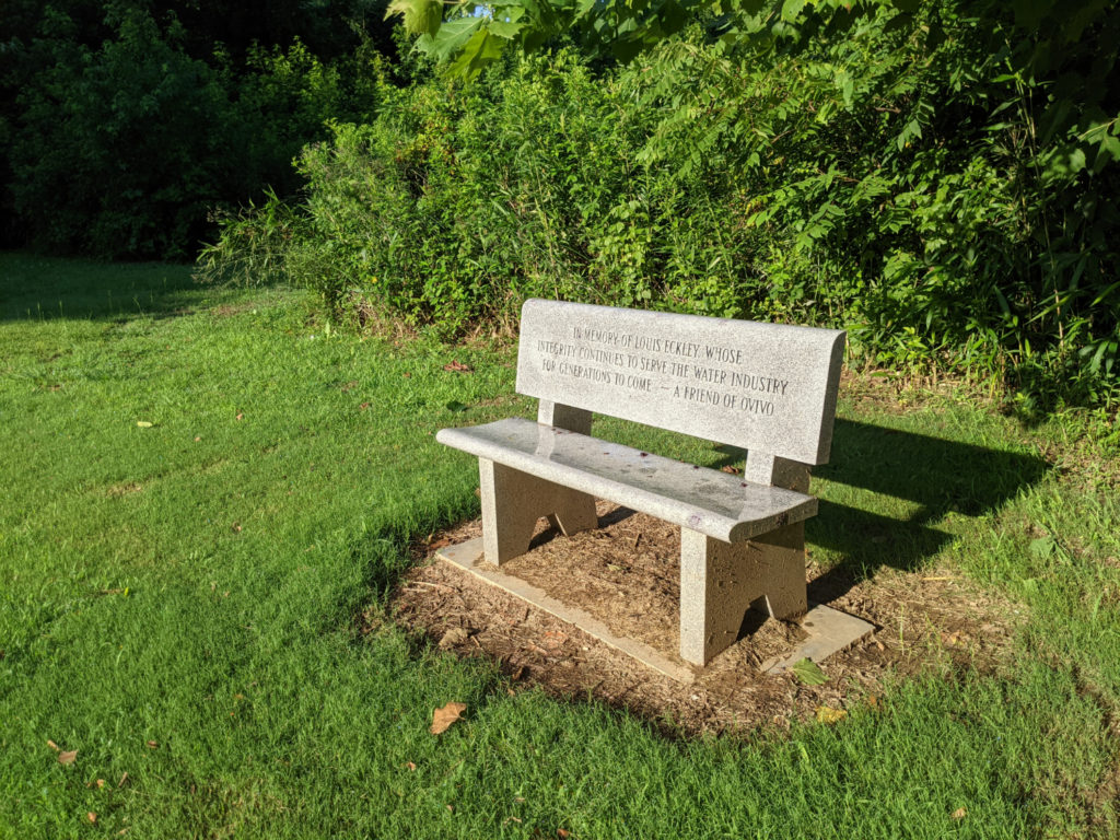
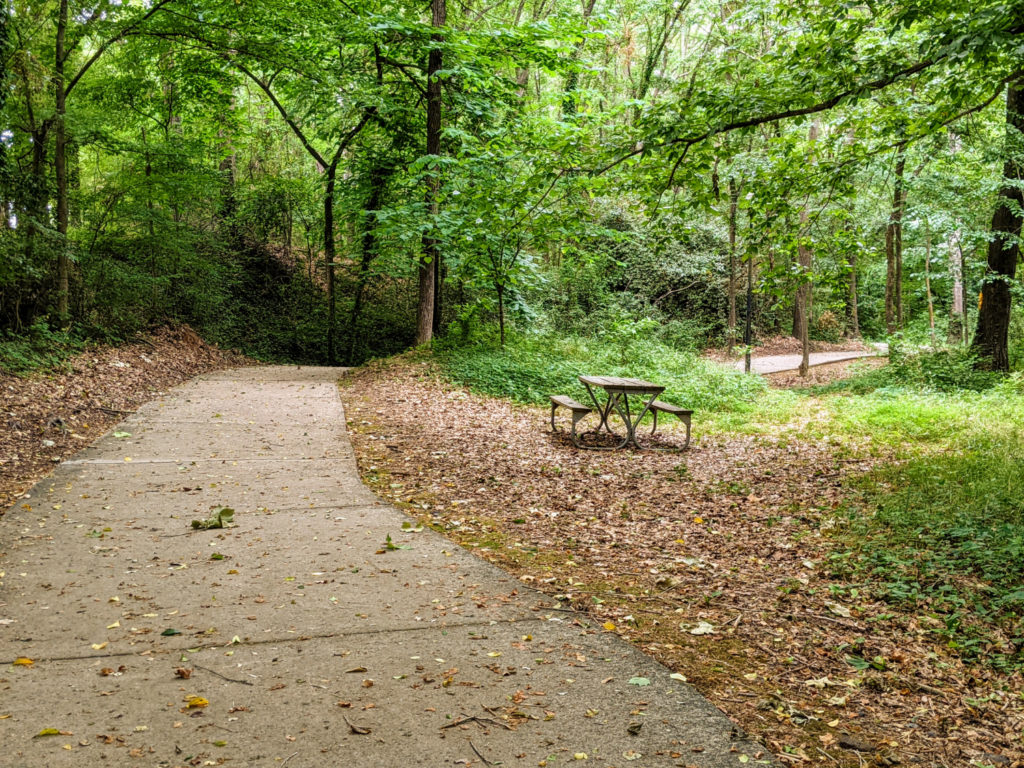
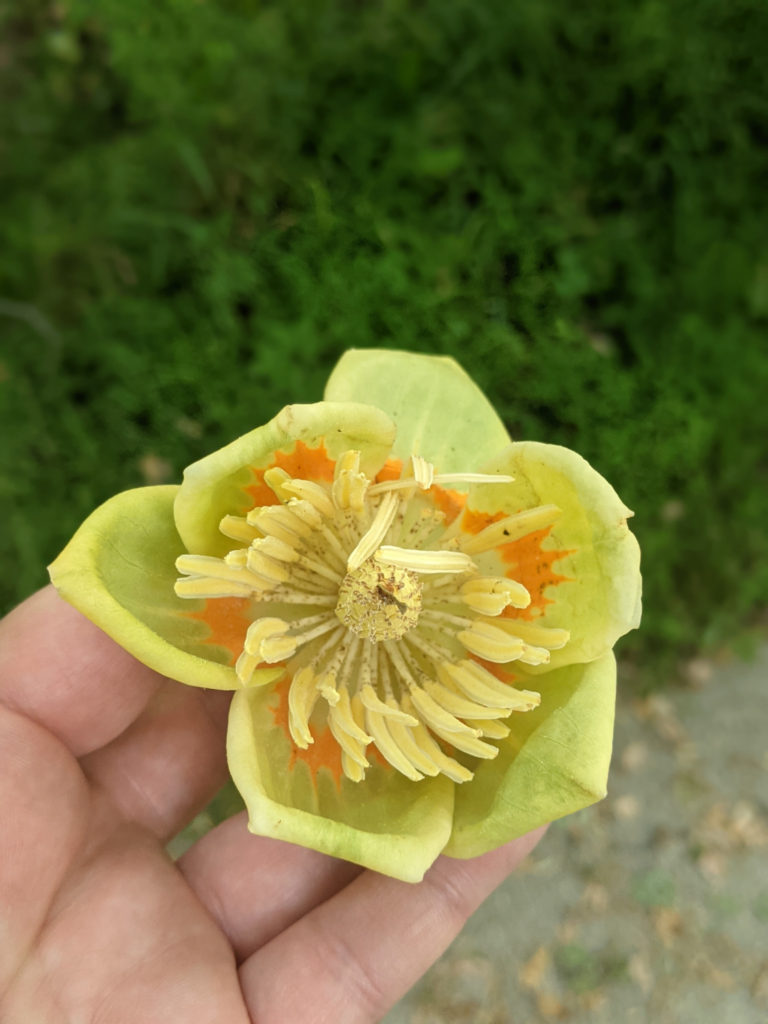
The draw of this section of the riverwalk is that there’s so much to see and do. Since the Broad River is so broad and shallow, the city dug a deep canal next to the river in the 1800s for boats to bypass the shallows and power an electric plant. The ruins of the power plant and a brick-terraced seating area are here, and a wide swath of grass between the canal and the river, complete with Adirondack chairs. There are also sections of boardwalk with benches and picnic tables available. An 1800s little red schoolhouse has been relocated next to the riverwalk entrance, and there is a small memorial garden and picnic tables. There’s even an exercise area on the path towards the canal.
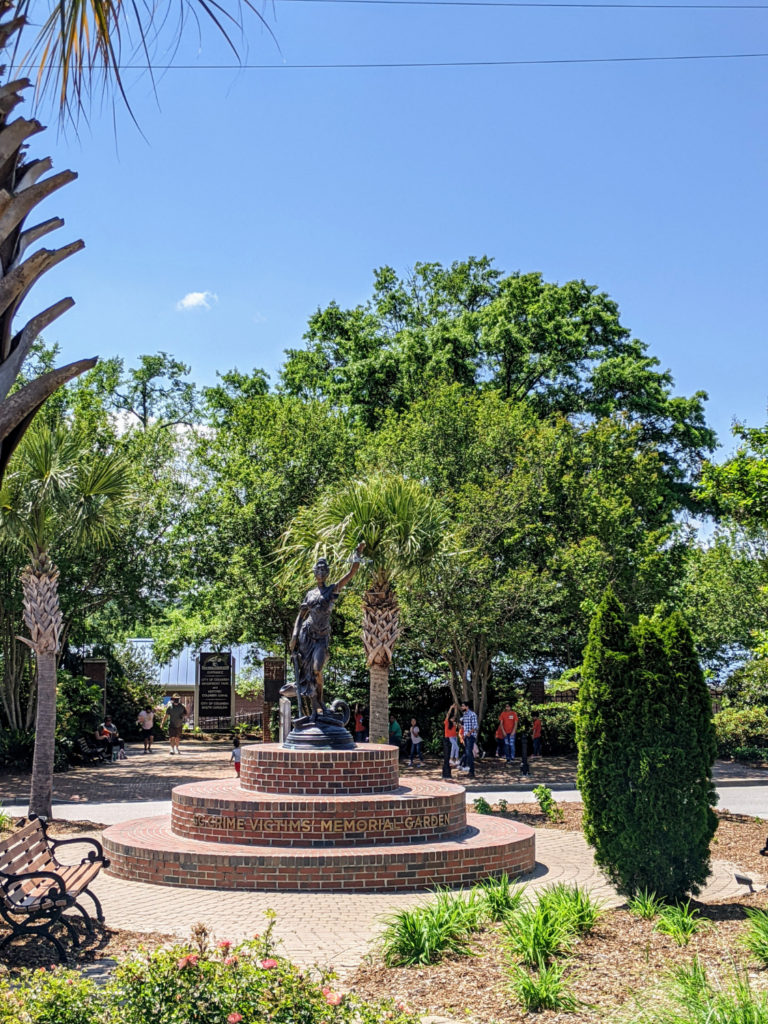
Entrance garden 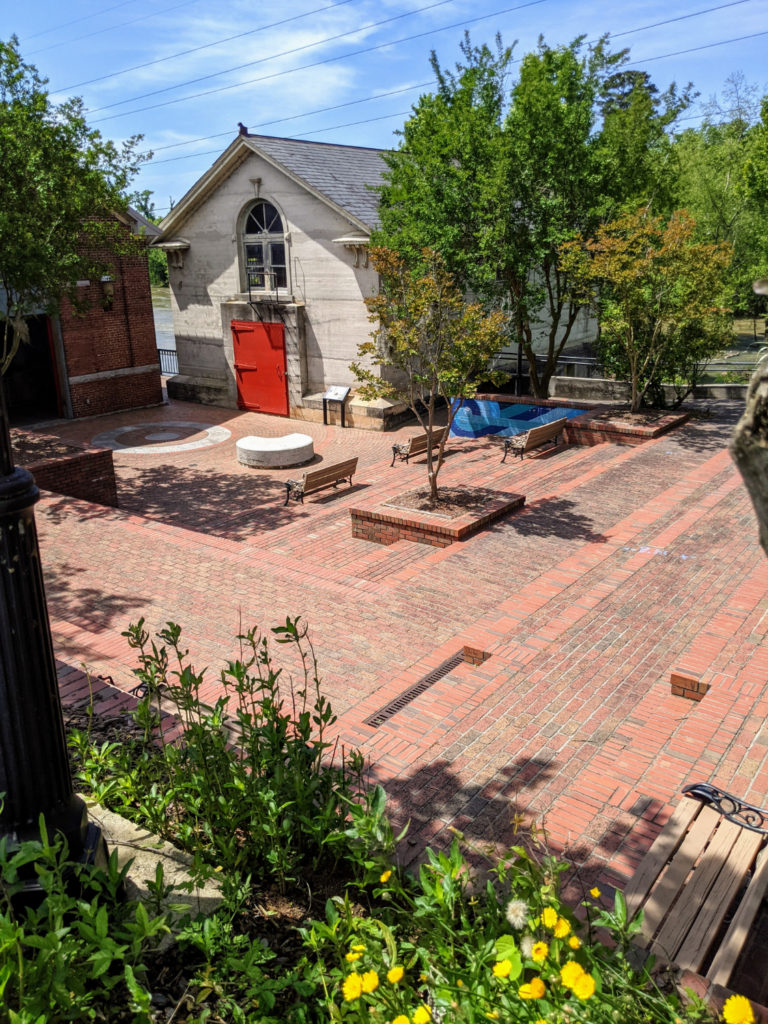
seating and old pump house 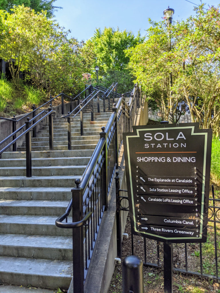
stairs up to a shopping area 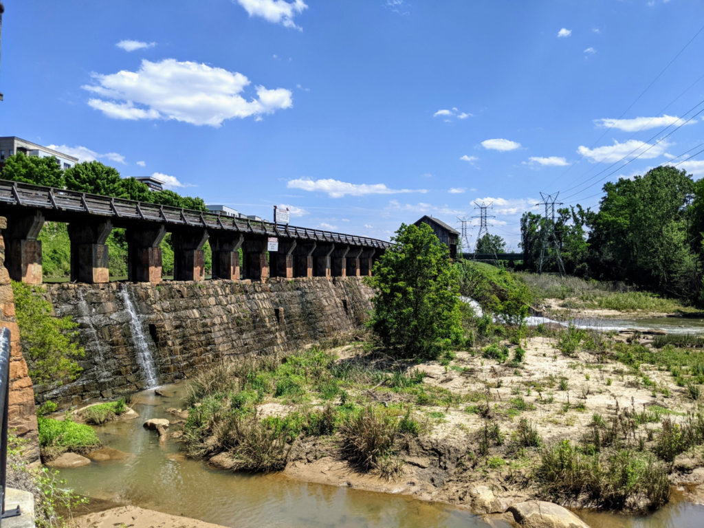
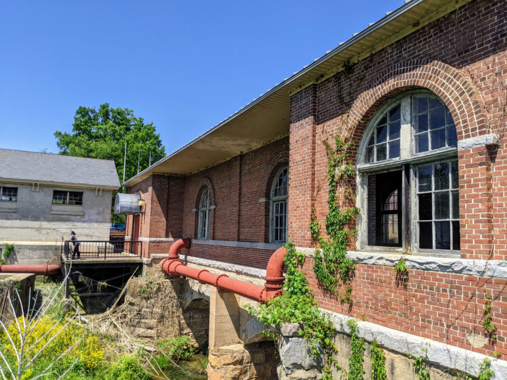
the power station 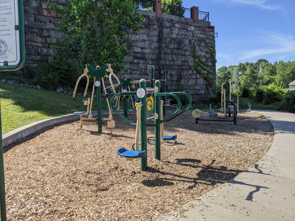
an exercise spot 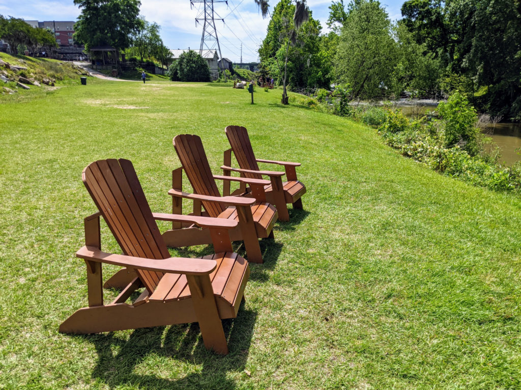
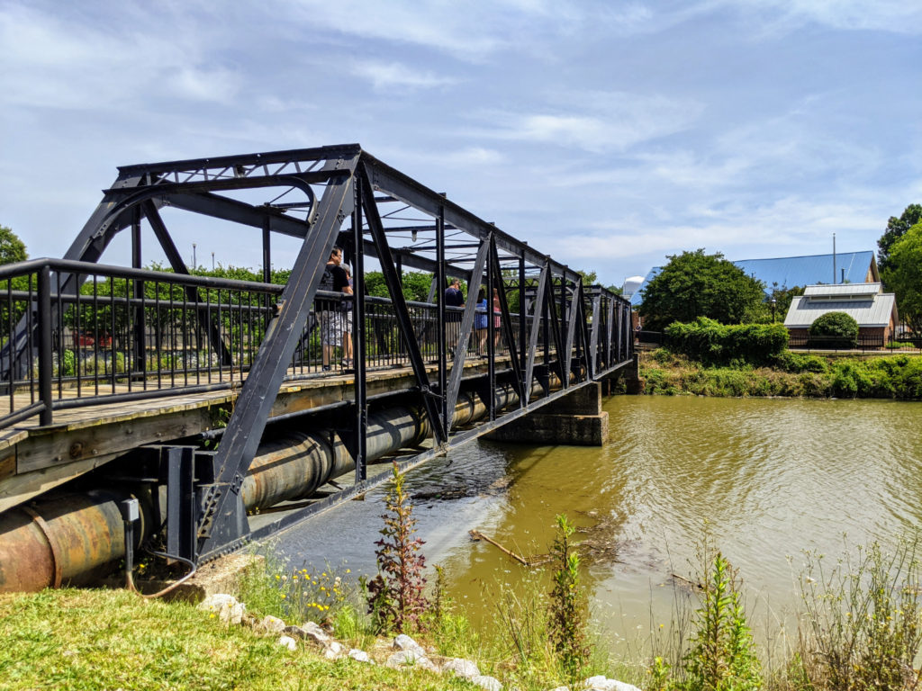
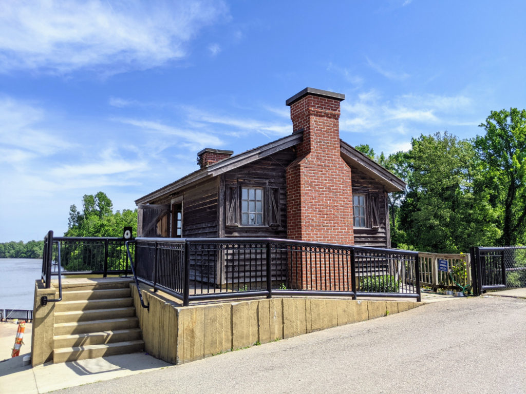
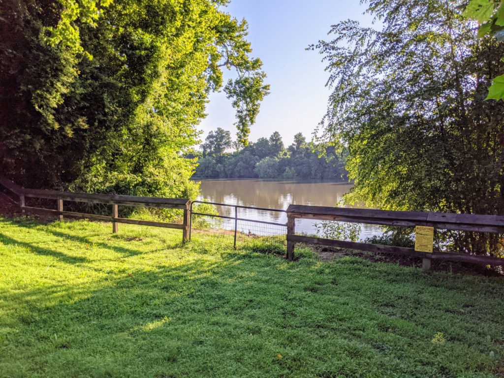
A wide path slopes down from the parking lot to some bathrooms, a ranger station, and a bridge across the canal. This riverwalk here is sandwiched between the canal and the river. Of all the riverwalks, this one is fairly straight and almost full in the sun. It’s the only one where I came away with a sunburn! It continues like this all the way north to the entrance of the canal, at a wide dam & lock situation where you often see people fishing. My housesitting hosts say there’s a fish ladder in here, but I couldn’t find it.
bridge across the canal 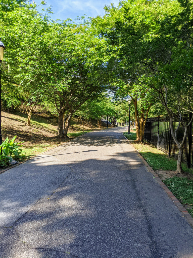
path towards the river from parking 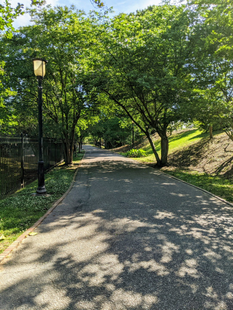
it’s a bit of a hill 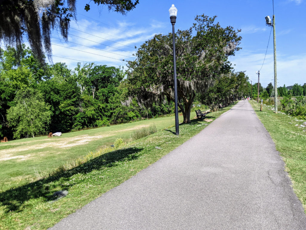
very sunny! 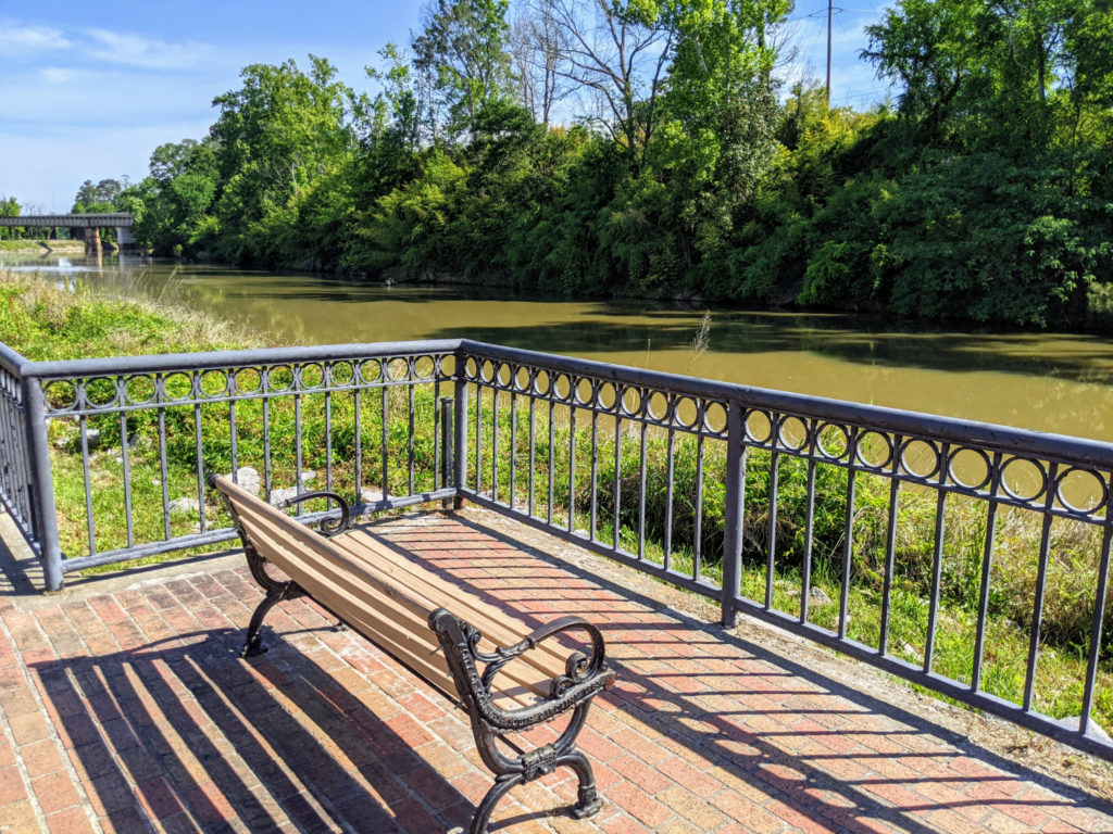
lots of signage 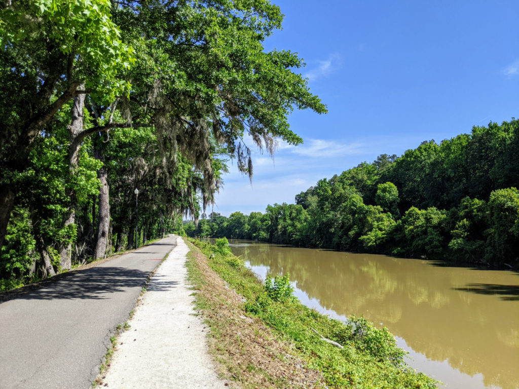
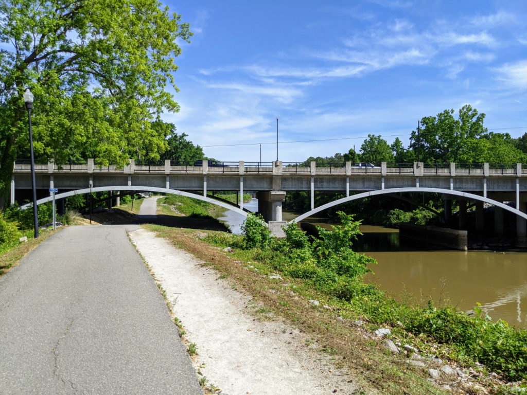
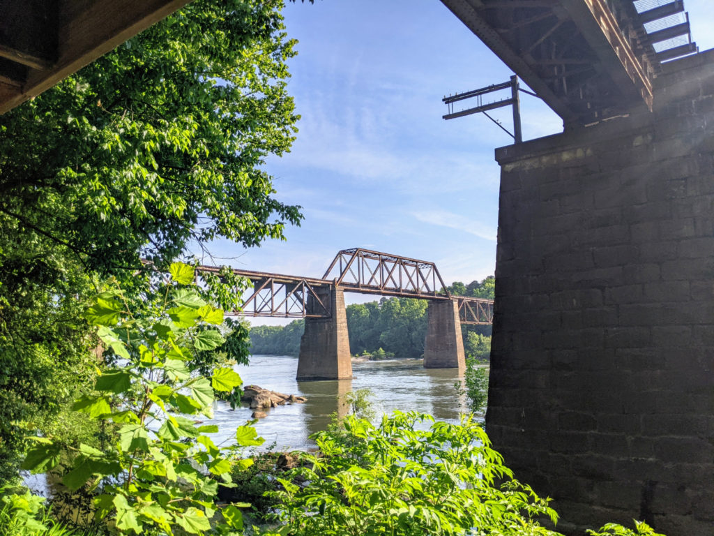
the Broad River bridge 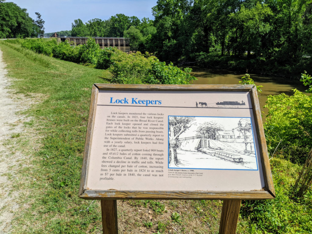
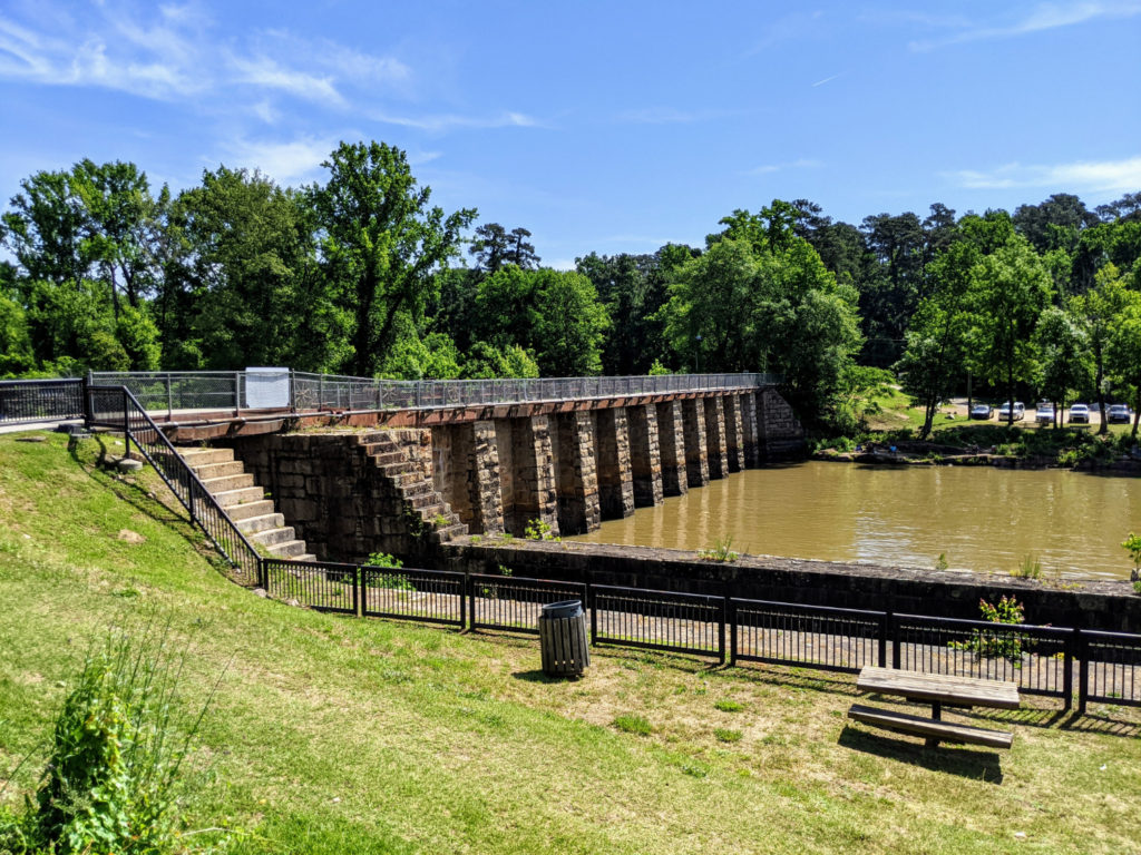
the canal dam & lock 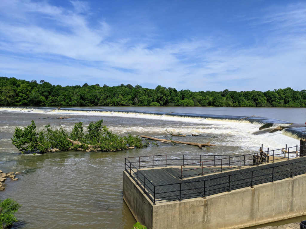
the wider dam 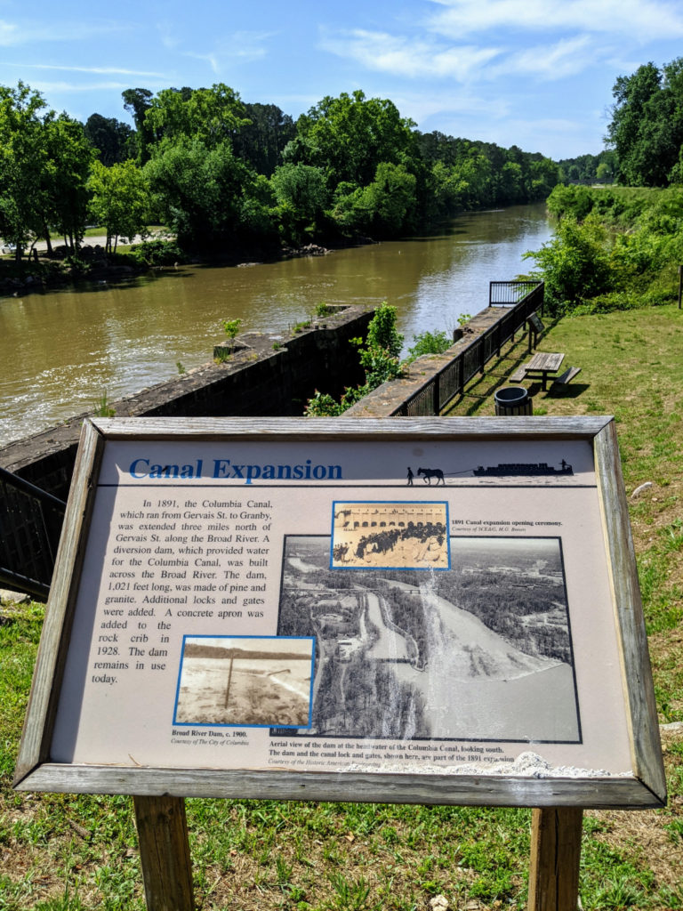
A trail comes off the main path at this end so that you can walk about a third of the total length closer to the river and less in the sun.
Facilities & Parking
The Columbia Canal and Riverfront Park has parking and bathrooms on each end. At the downtown/south end, there is a huge parking lot off Huger Street, near a marionette theater on Laurel and Gist Streets, with plenty of signage. The bathrooms are located at the bottom of the hill, next to the canal. At the north end is a sandy parking lot at the Broad River Canal Riverfront Park, while the bathroom is in the old canal house on the dam. There’s one extra access point at the Broad River Bridge but no parking or bathrooms.
spring flowers by the canal bathrooms 
the north-end lock bathrooms 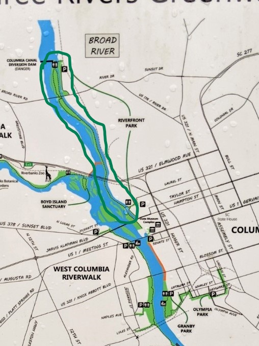
The Canal Riverwalk section on the map
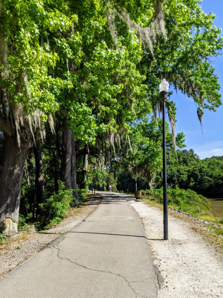
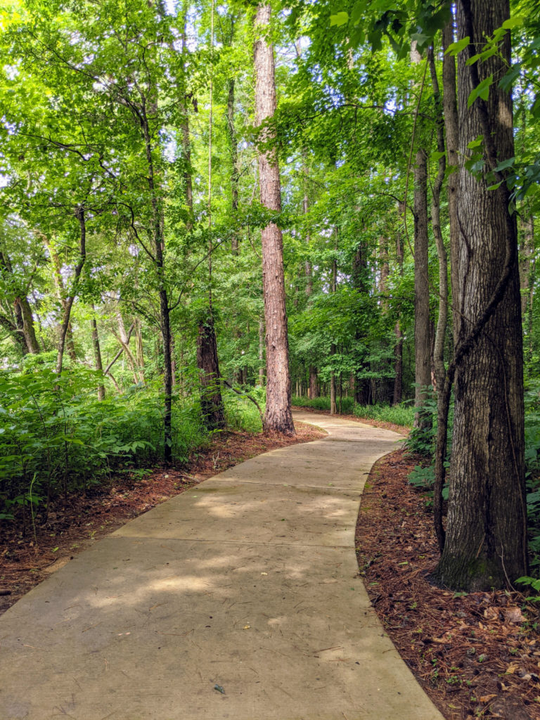
Saluda Riverwalk
The newest section of the Three Rivers Greenway system is the Saluda Riverwalk, near the Riverbanks Zoo. You get there by taking the zoo exit from 126 and turning the opposite way from the zoo. On this one, the parking and restrooms are in the middle, with a riverside picnic area.
Bathrooms 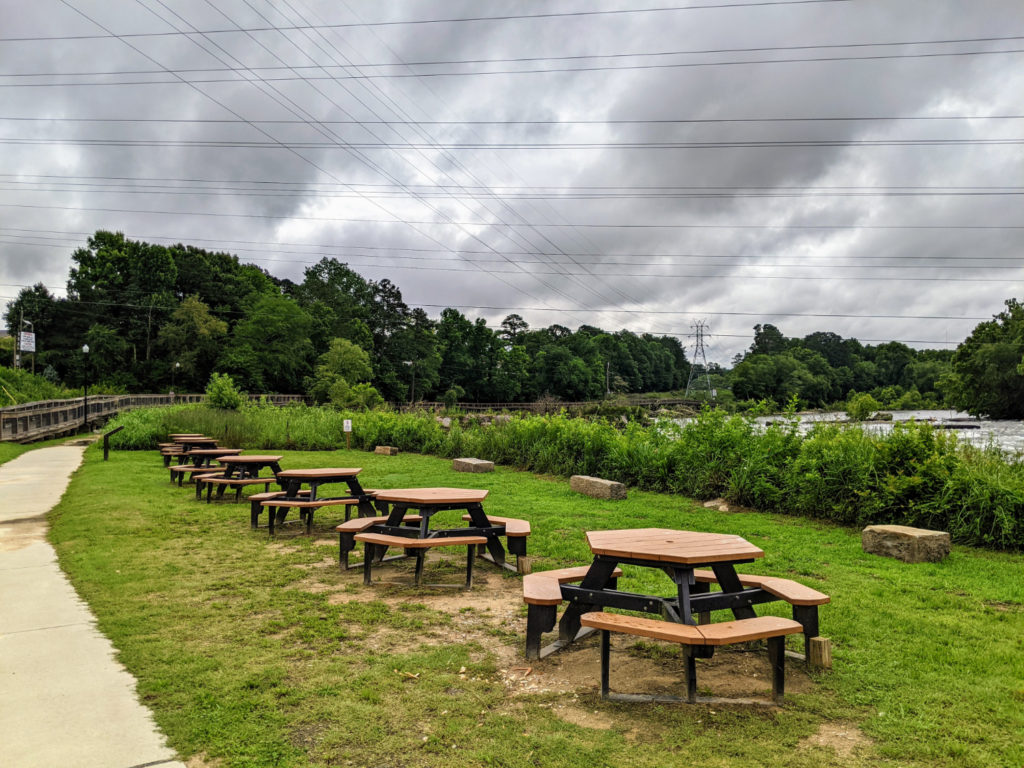
lots of picnic tables 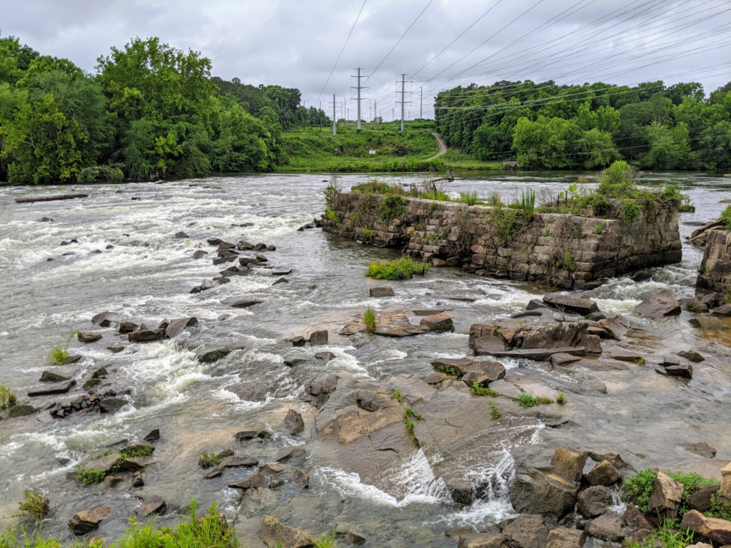
the Saluda River 
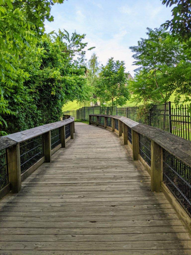
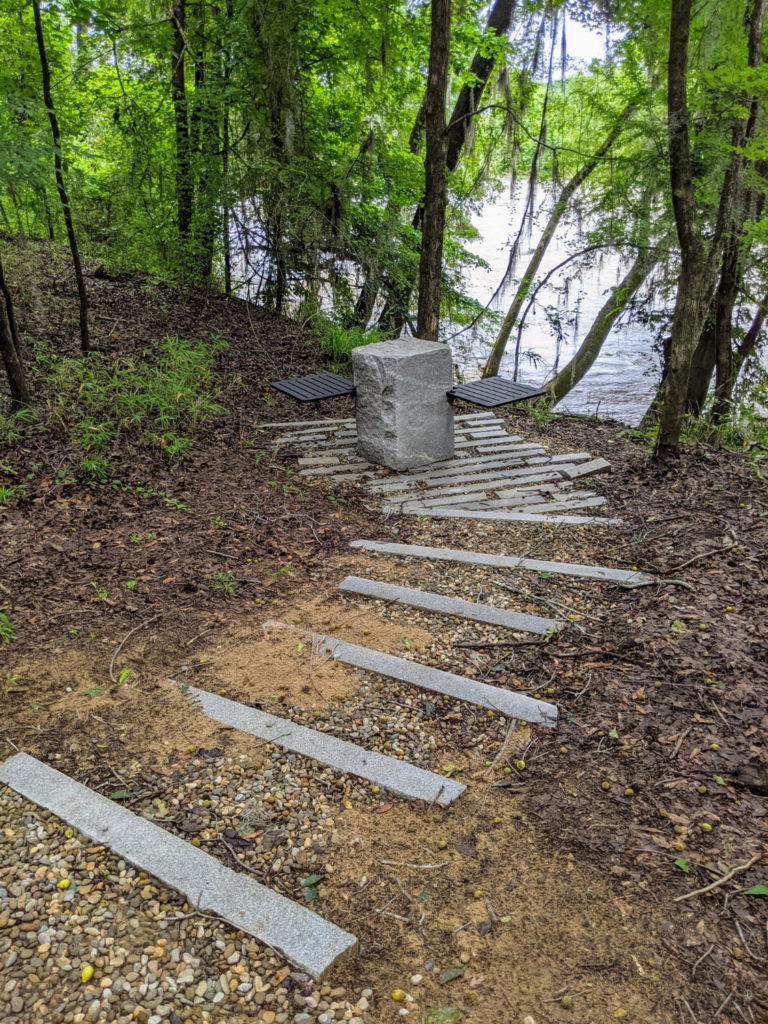
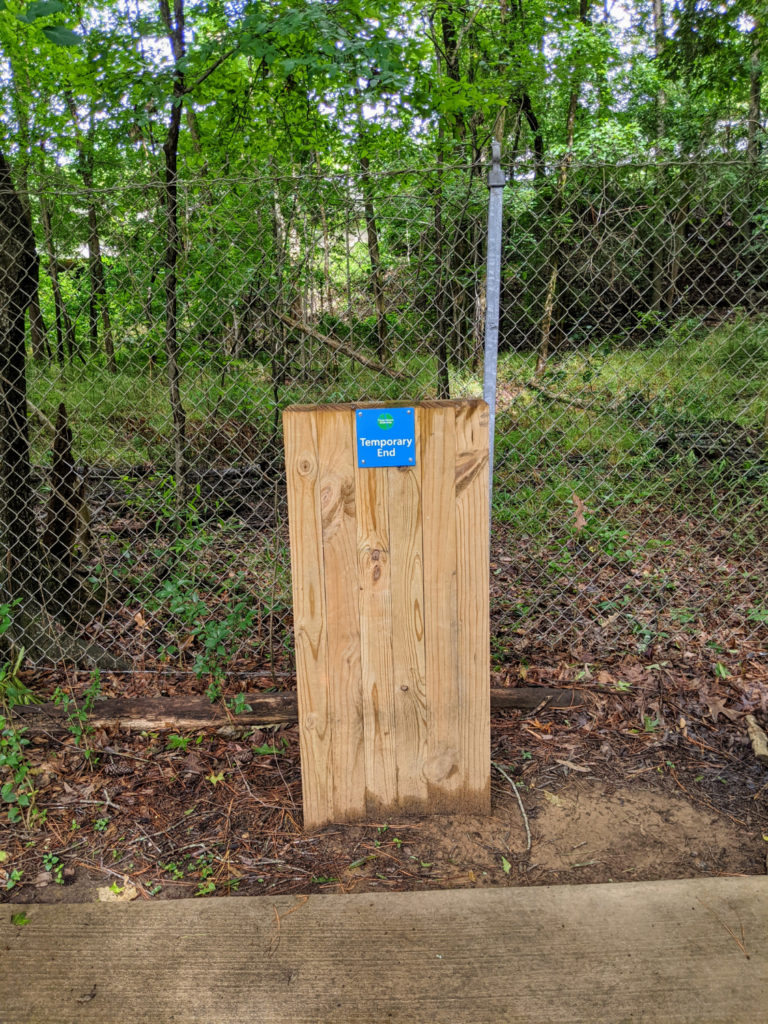
From here, you can turn left towards a boardwalk, the zoo, and ending in a loop on Boyd Island Sanctuary, which has unique seating and picnic tables. You can’t enter the zoo from this path – a chainlink fence separates it. But you pass under the bridge between the zoo and the botanical gardens, and you can hear carousel music tinkling from across the river. It’s not paved all the way to the island, either – there’s a section still to be done, and it can be a little muddy here. But the path is wide and easy enough to traverse. The island is pretty cool – there are benches, picnic tables, and garbage cans, all in a particular modernist granite-block design.
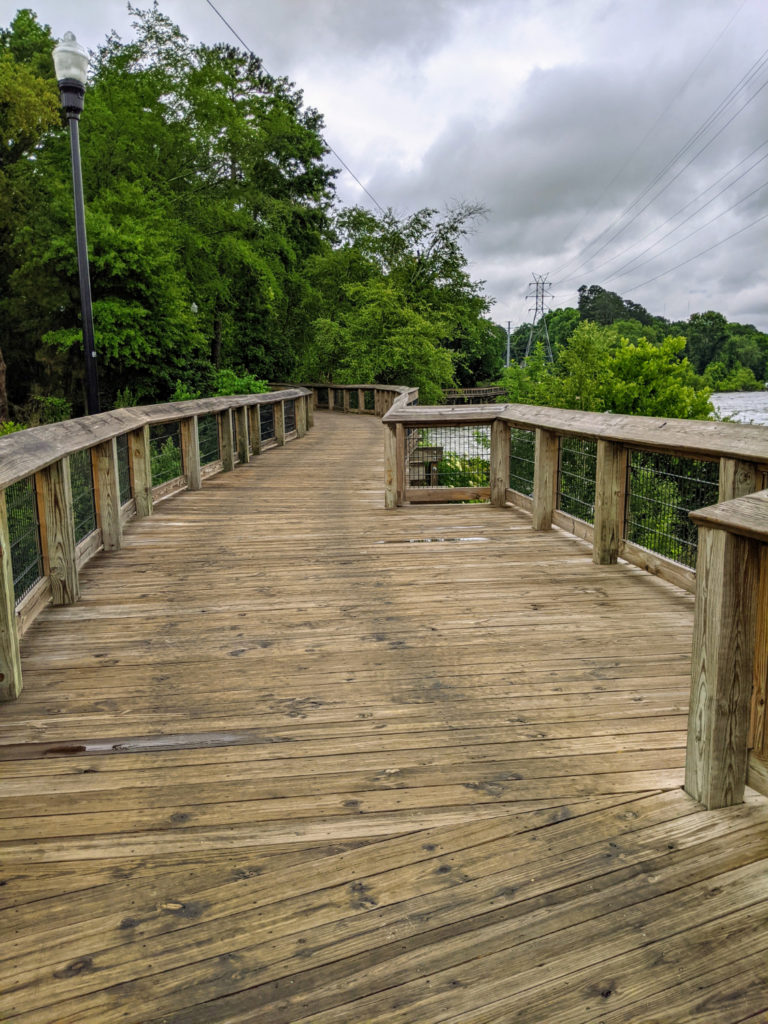
boardwalk along the river 
under the zoo bridge 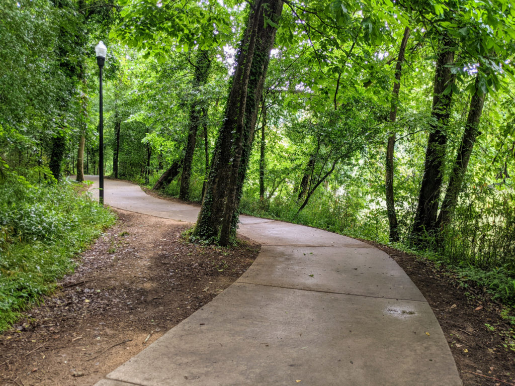
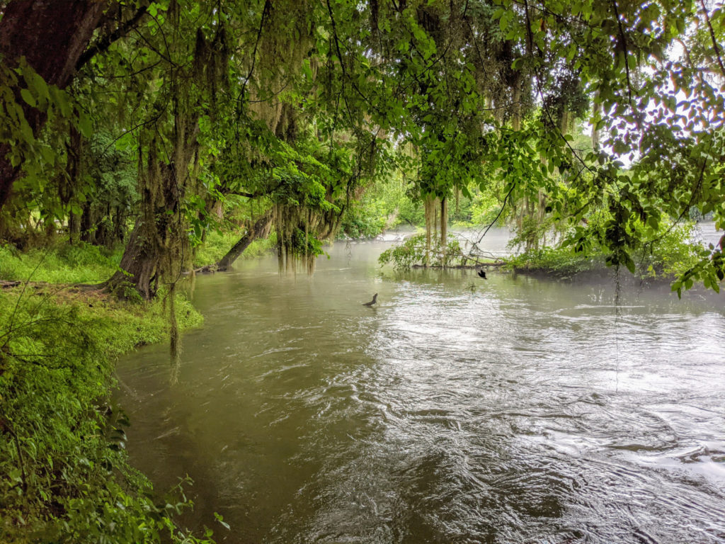
mist on the water 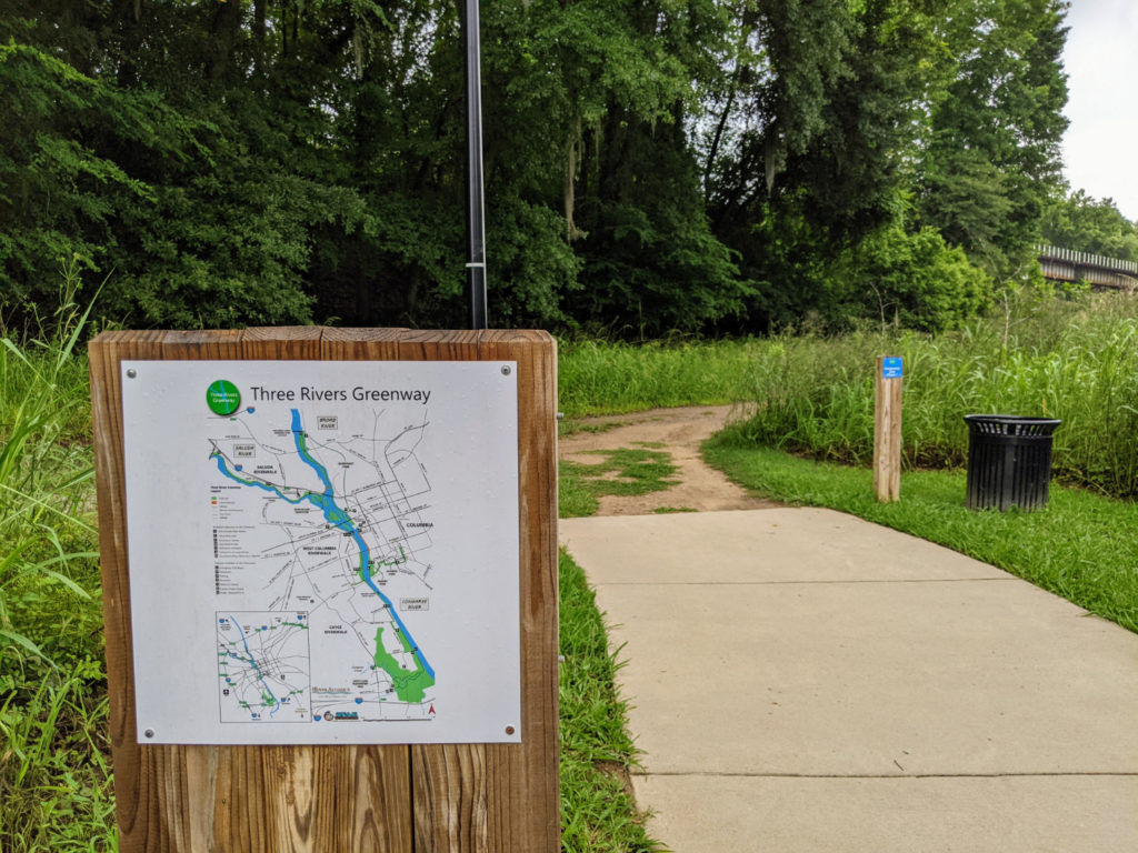
end of the paved path 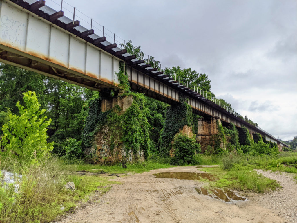
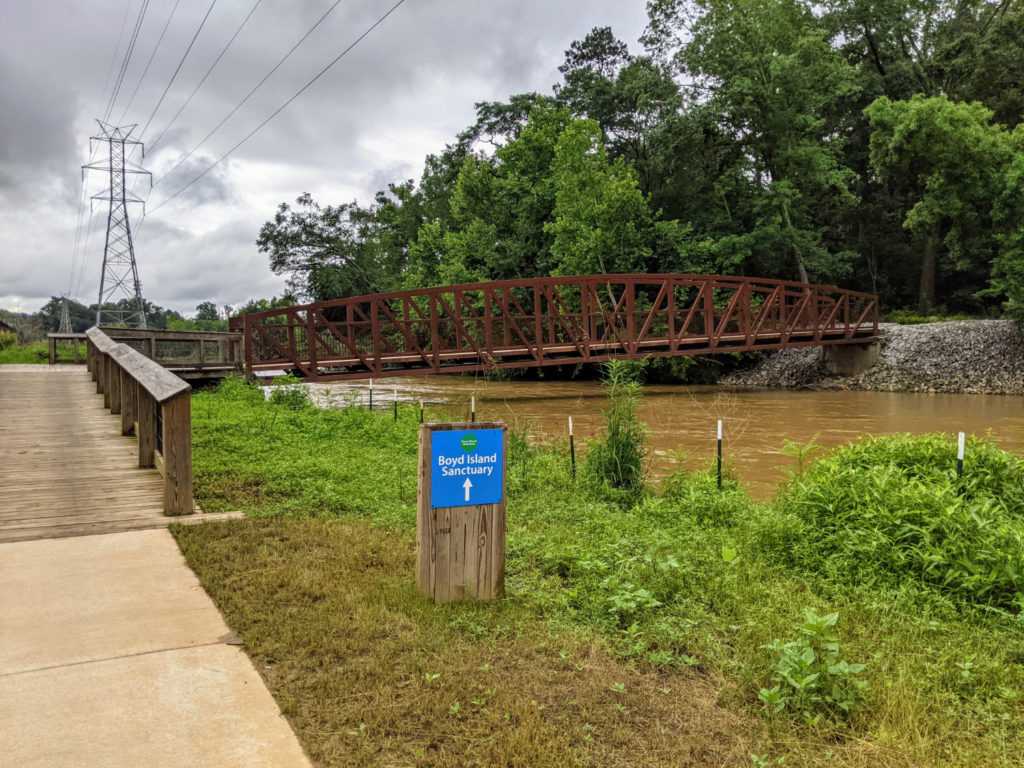
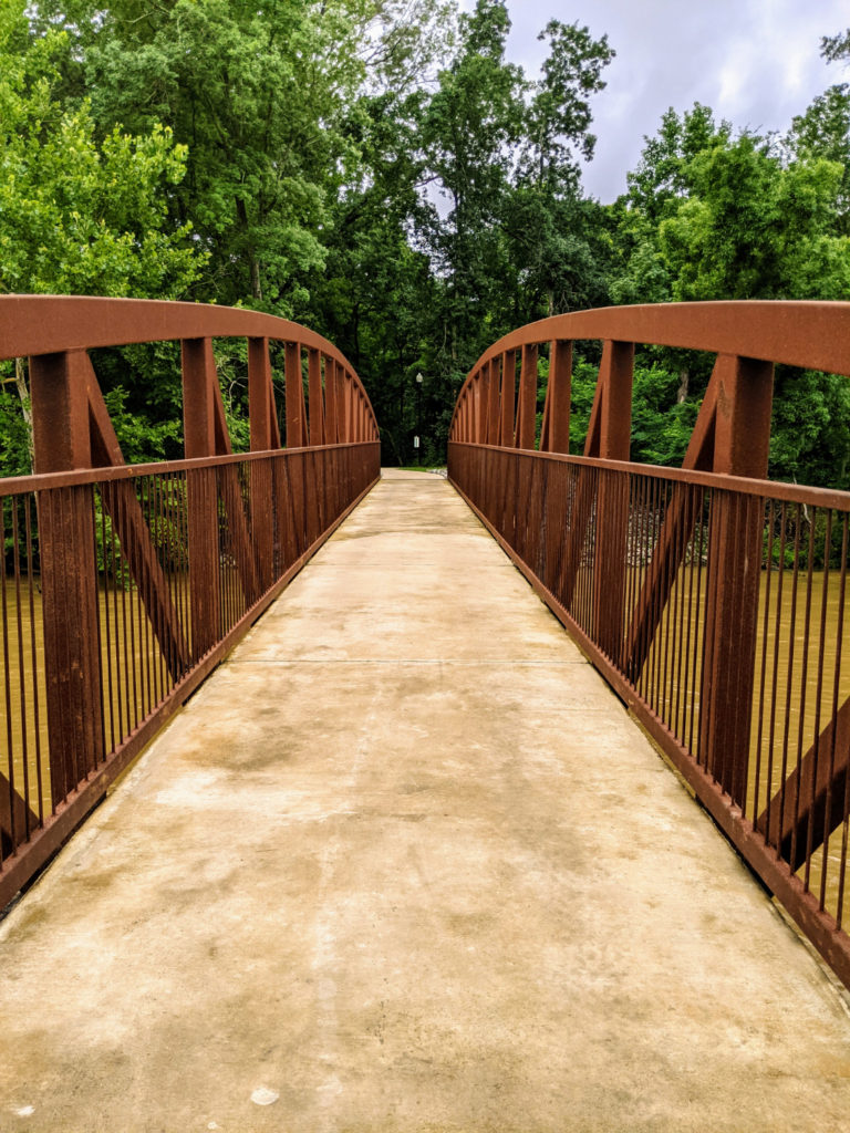
Boyd Island bridge 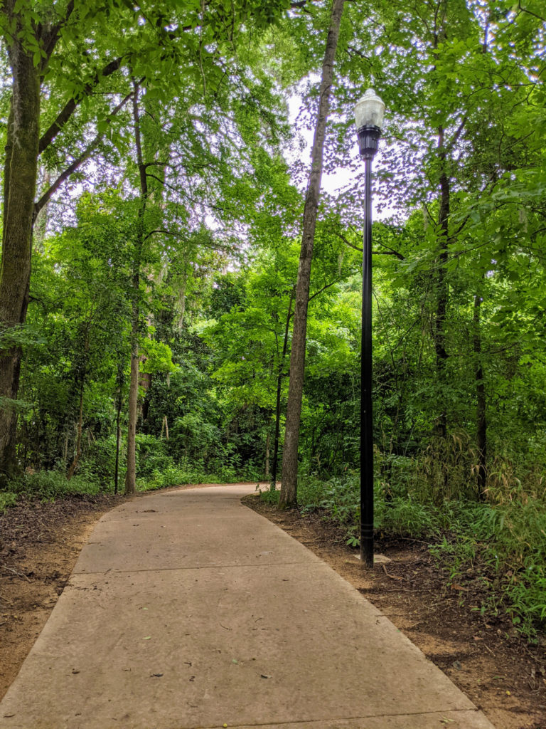
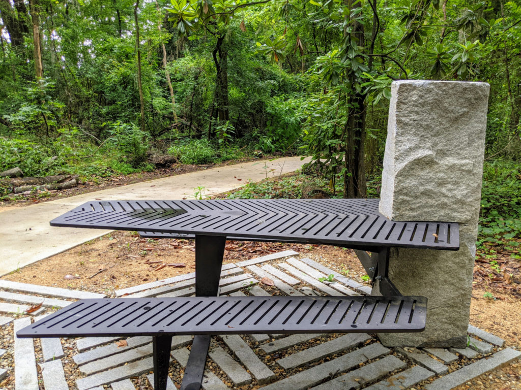
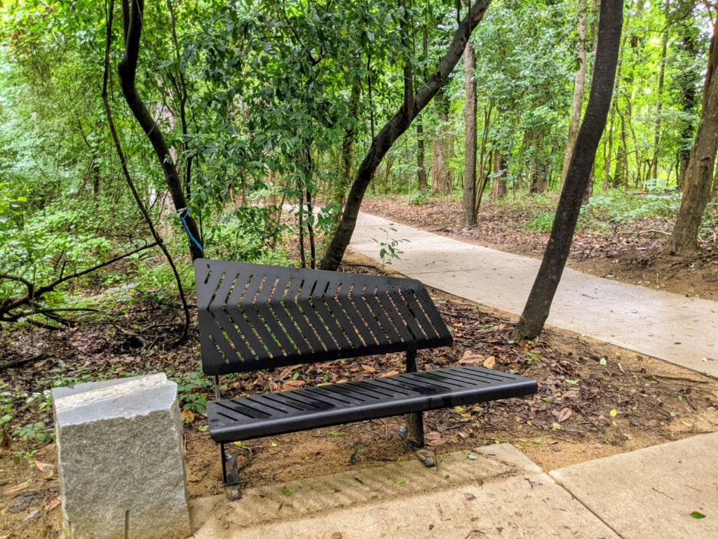
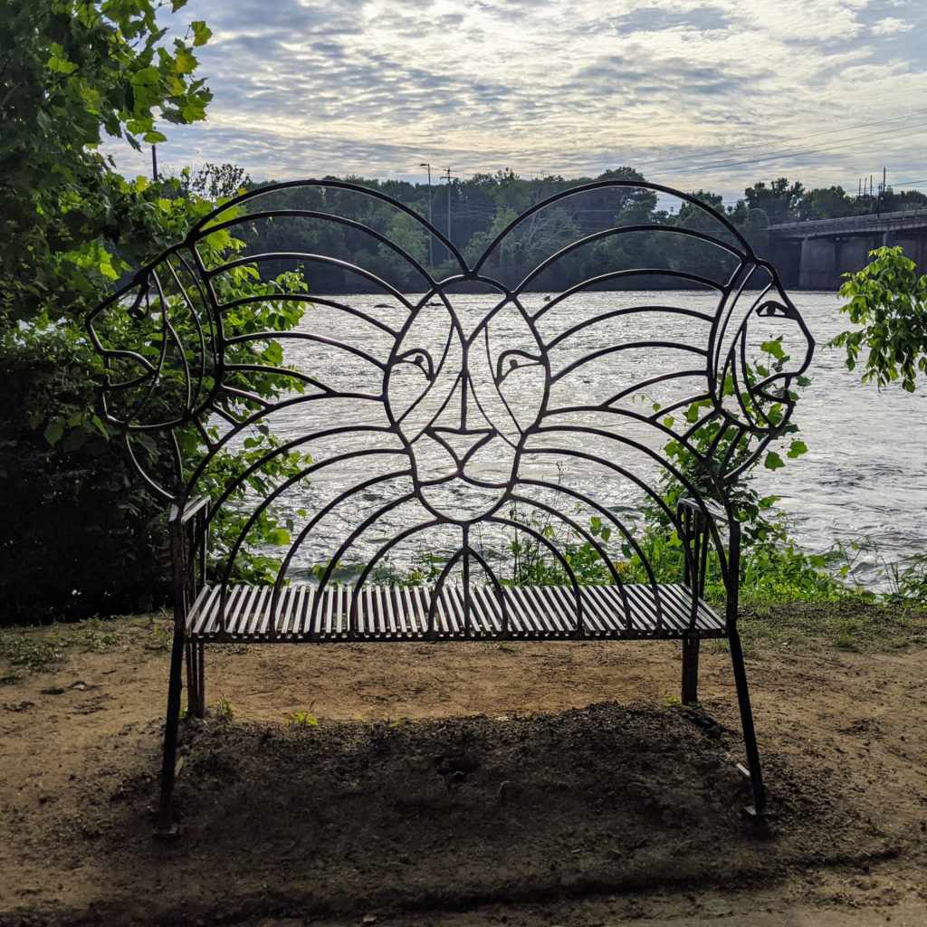
some of the unique seating 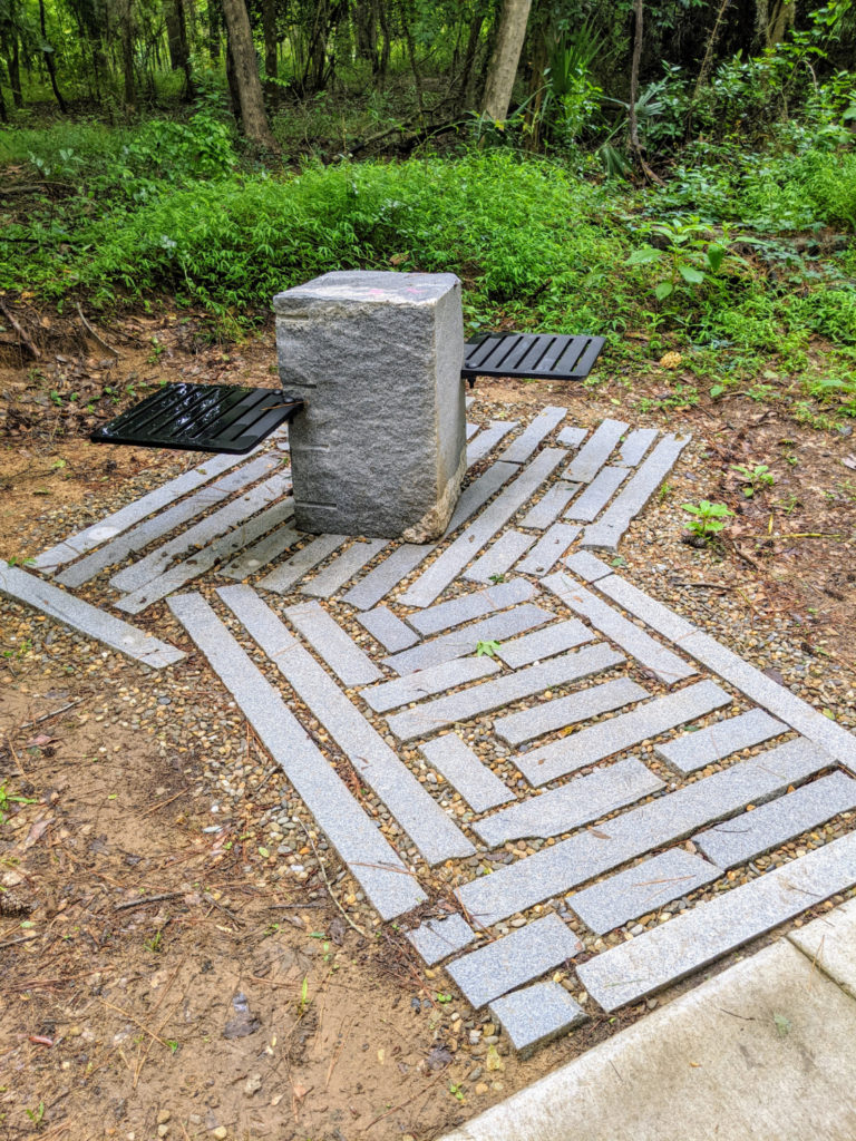
the Saluda Riverwalk boardwalk
To the right of the parking area is a more shaded path that ends at highway 26, more or less. It passes by a trailer park so that one section isn’t quite as scenic, but the rest is nice. If you walk both sides/the entire thing, it seems to be in the same 5-6 mile range as the other riverwalk sections.
end of the trail 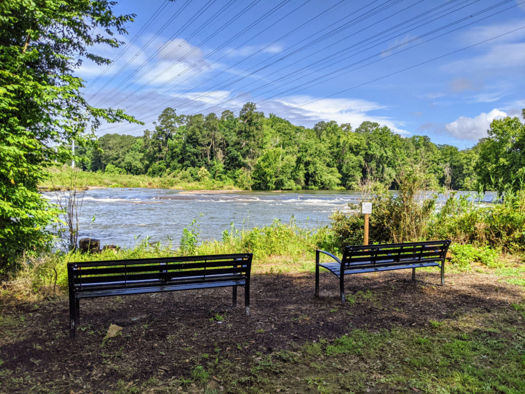
Facilities & Parking
There’s just the one parking lot for the Saluda Riverwalk, pretty much in the middle. It’s a decent size and has a restroom in the same style as the other riverwalks. It’s also a popular spot to put in for tubing – I saw a lot of folks there with their gear. Other than that, there are several picnic tables by the river and on Boyd Island. The map indicates two more restrooms on each end, but I didn’t see them. On the I-26 end, they may have been up a path that I didn’t go down. On the other end, I can’t say. It seems like that part is still unfinished.
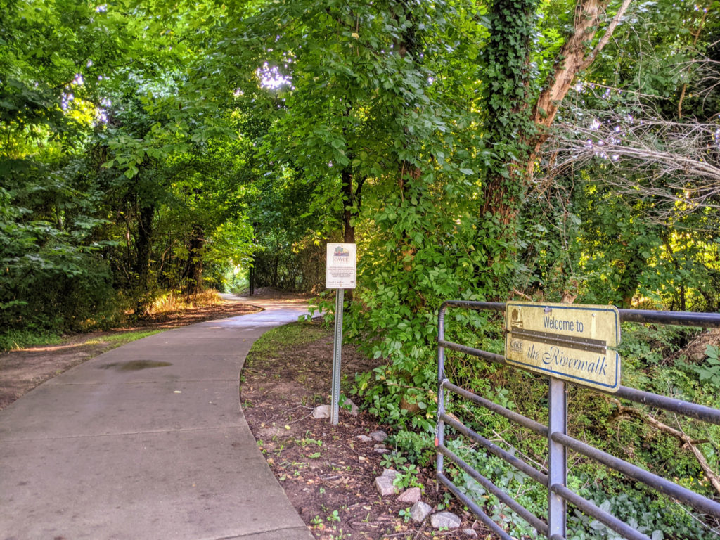
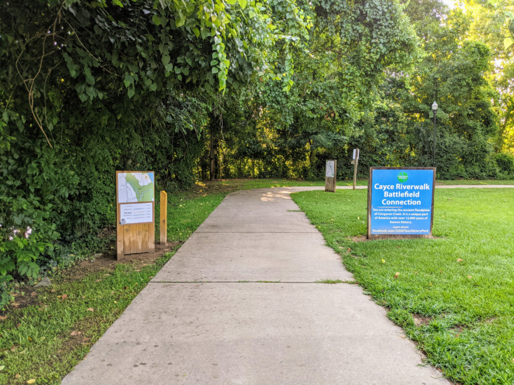
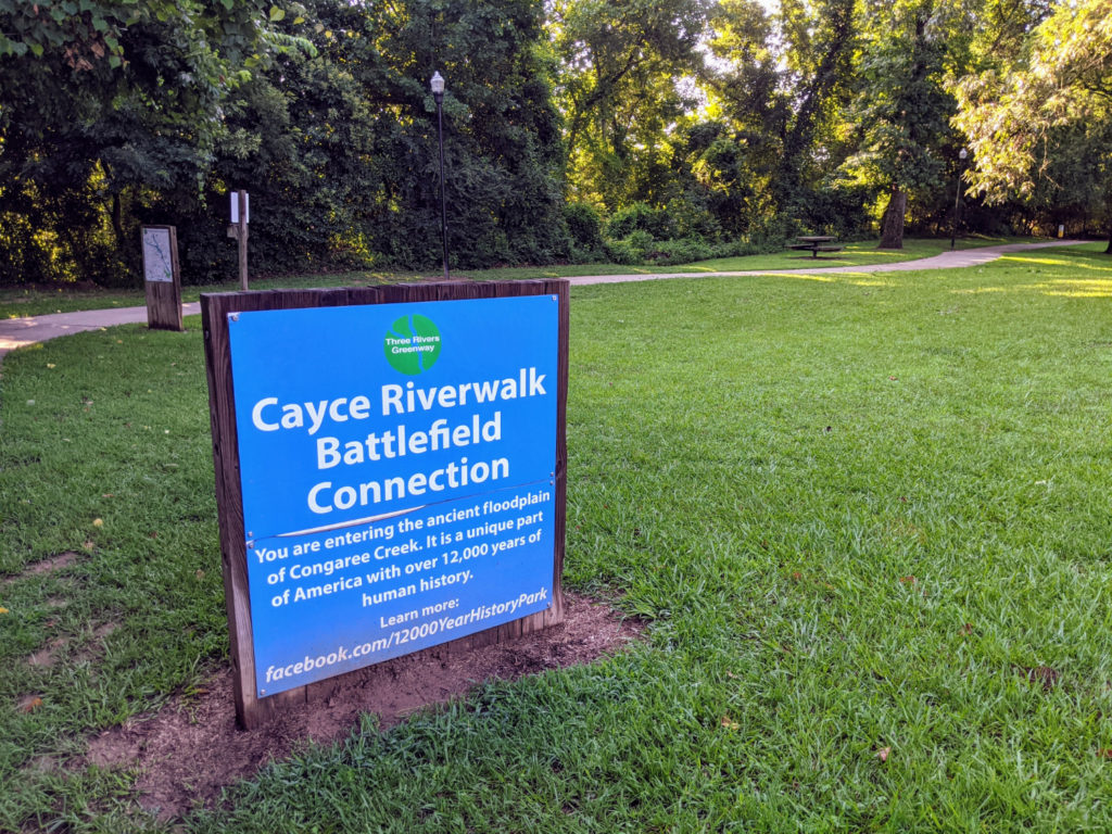
Cayce Riverwalk
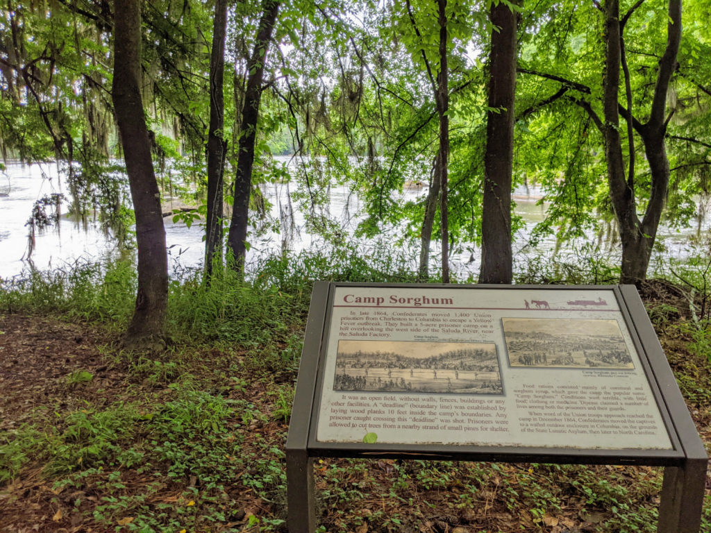
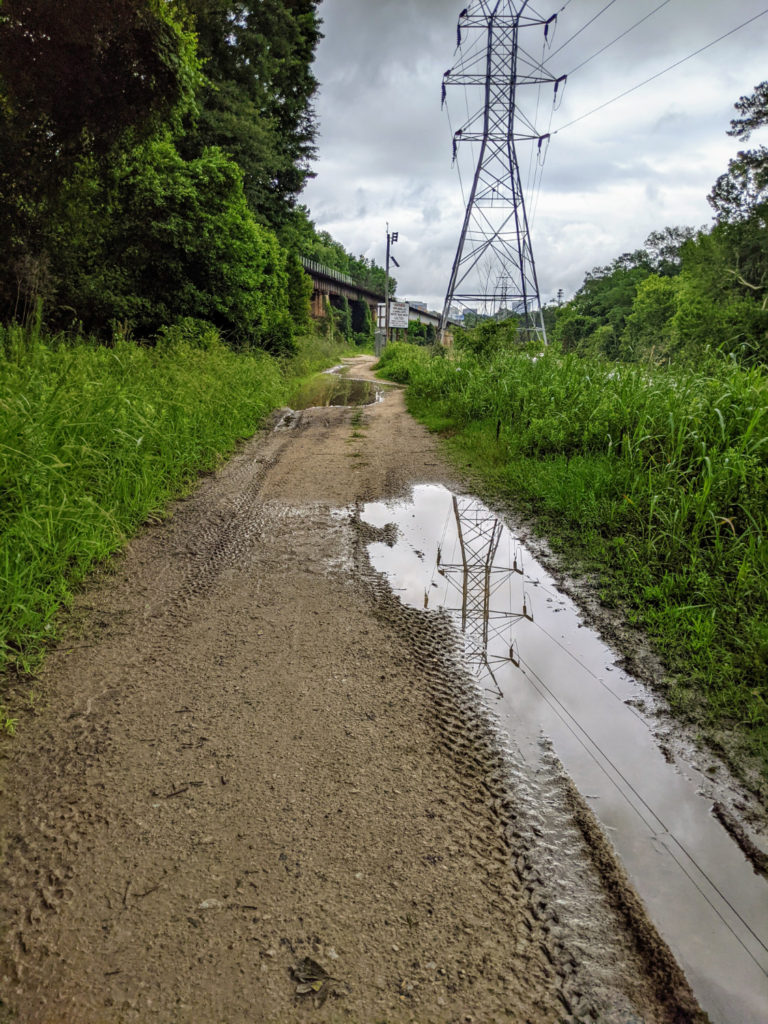
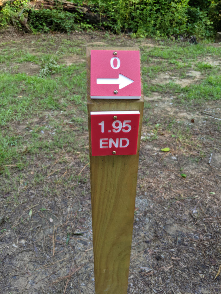
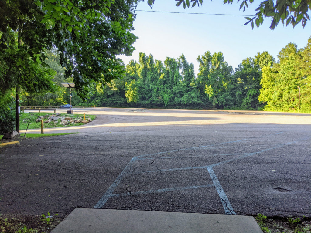
South of the West Columbia Riverwalk on the Congaree River are several more entrances to the Cayce section of the riverwalk. There’s “phase 3 access” at a small parking lot (no restrooms) off Old State Road. The other end of this section is at the Thomas Newton Public Boat Landing which has a large parking lot (but also no restrooms.) But the riverwalk continues down to a “phase 4 access” spot past the Cayce Tennis and Fitness Center (gravel lot/field, no restrooms.)
In fact, you can connect this whole stretch to the West Columbia Riverwalk by walking on the street between the phase 3 parking lot and H. Kelley Park. There are even sidewalks most of the way. I’m not sure *I* could do the whole thing in one stretch, myself. At least not as a round-trip. It seems it would be better done by bike if you want to do the whole thing at once.
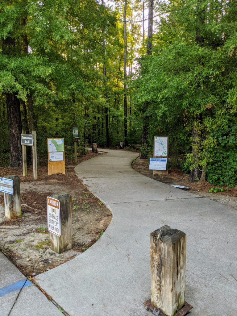
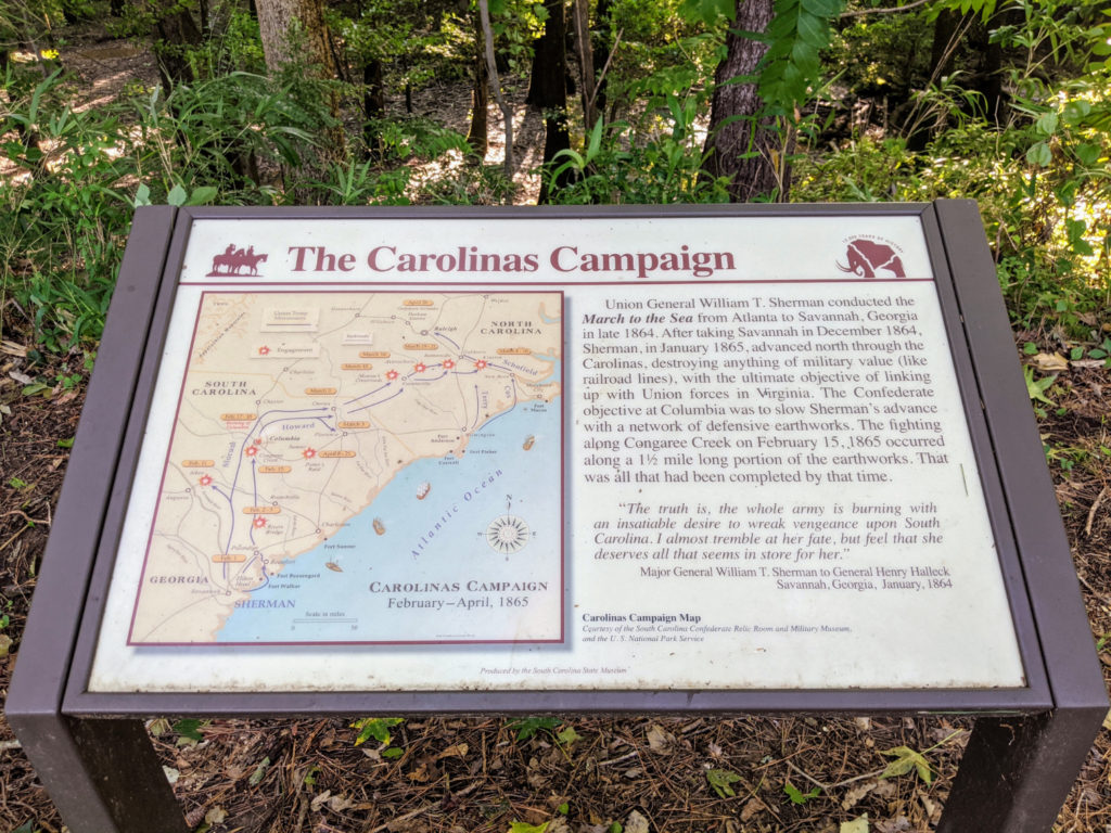
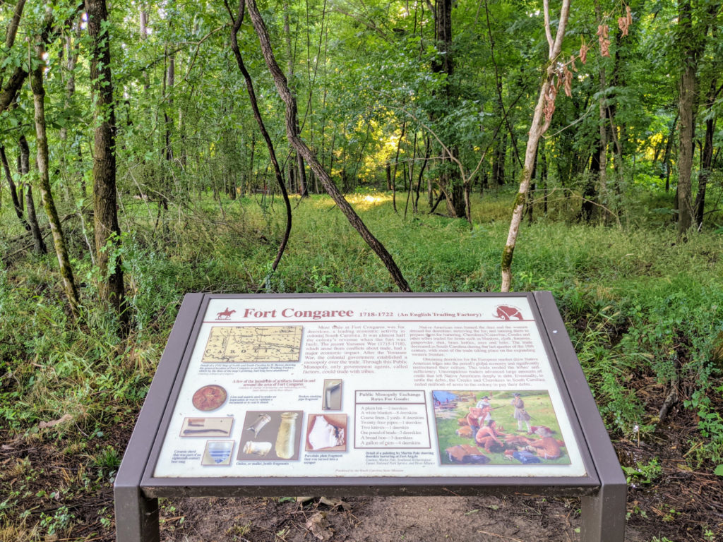
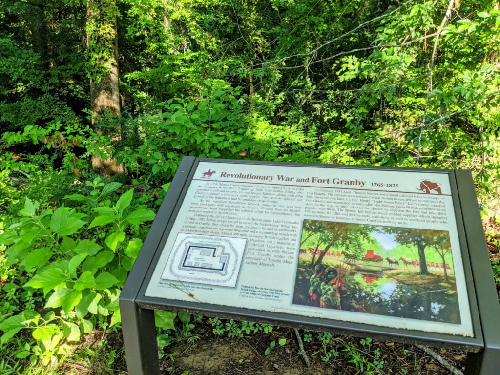
Especially since at the south end is a 2-mile loop trail around Cayce Creek and another maybe 1-mile section called Timmerman Trail. On my visit, I started at the Timmerman Trailhead off 12th Street Extension and Scana Parkway, did half the Cayce Creek Loop, walked to the boat landing and back around the second half of the loop, then back up Timmerman Trail for a total of about 6 miles. I think if you started at the West Columbia amphitheater and walked/biked down to the Cayce Creek loop and back up, it would be a total of 13-14 miles.
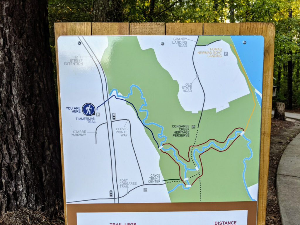
map of this section of the trail
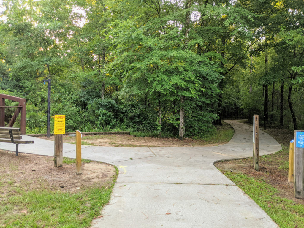
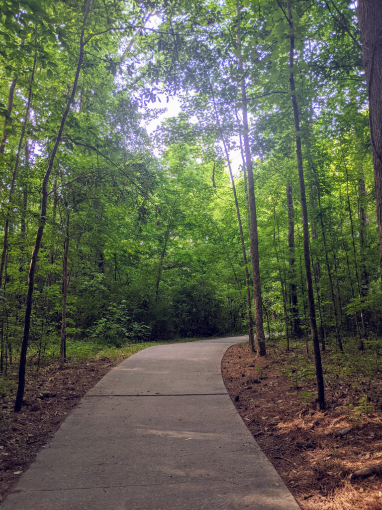
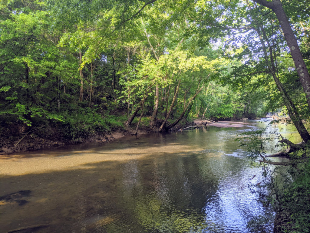
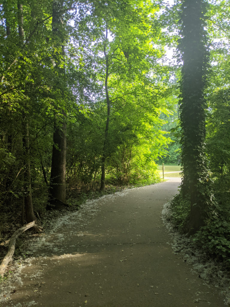
Timmerman Trail/Cayce Creek
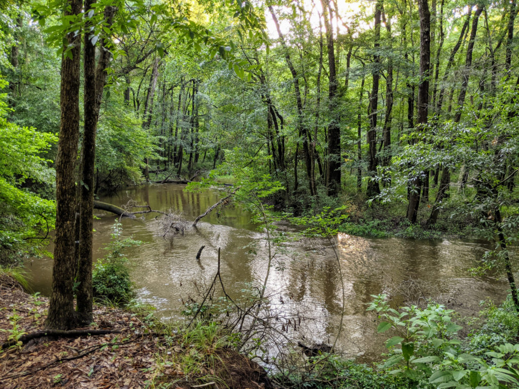
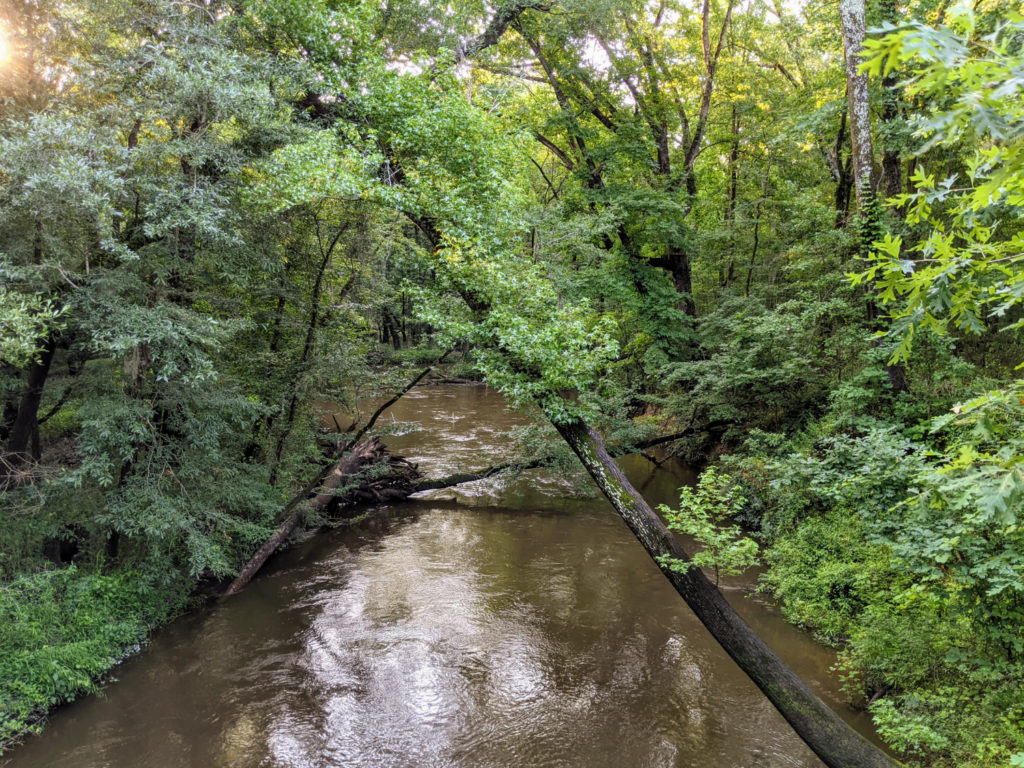
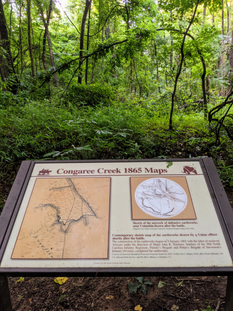
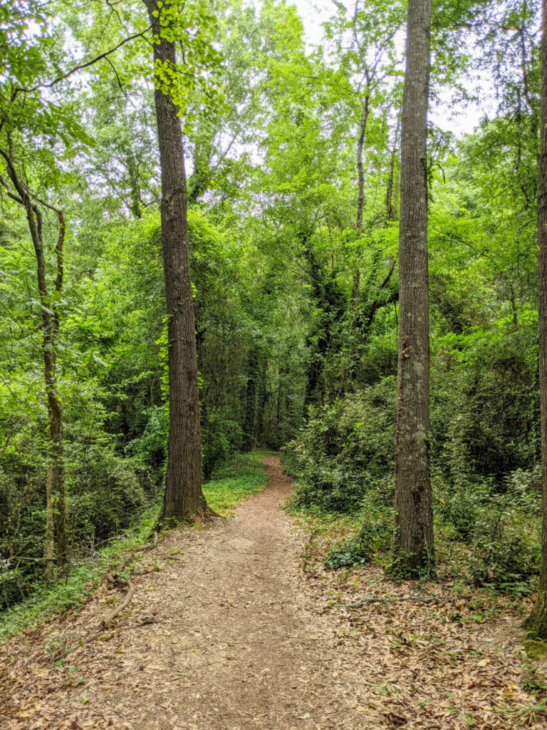
The Cayce Creek section is really interesting. There are several signs (more than usual!) that describe the history of the area, from native tribes to early forts and civil war battles. The 2-mile loop circles Cayce Creek, which is neat to walk around, but it’s not as nice as walking next to the river. This is the biggest reason I rate it lower than the other sections. Timmerman Trail is nice, but it really only serves to get you under the main road and to the loop. You can park closer to the loop itself at the phase 4 access point.
Facilities & Parking
The other reason I rank it lower is that there aren’t any bathrooms along this section. There are four parking areas: phase 4 access, at Timmerman Trail, the Tomas Newman Boat Landing, and phase 3 access. (Google maps can direct you to any of these.) The whole stretch from Timmerman Trail to H. Kelley Park is approximately 5 miles one-way, which is a long way to go without a bathroom break.
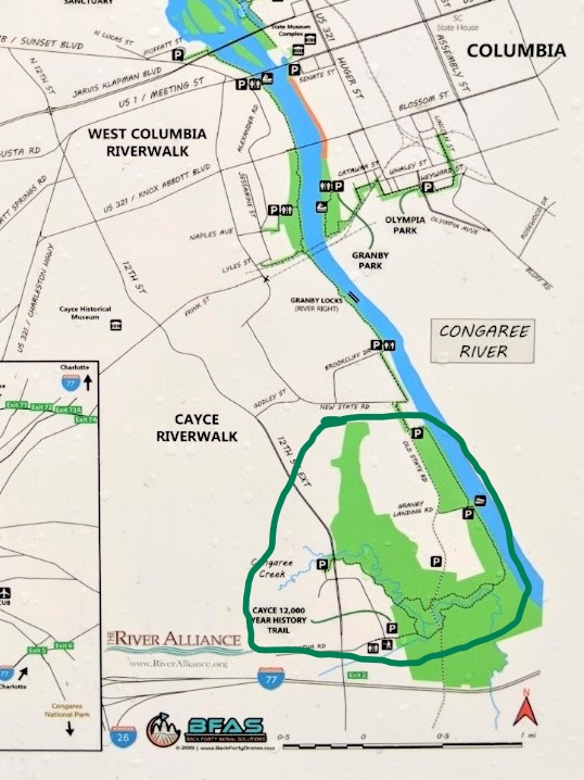
Cayce Riverwalk on the map
Granby Park
Granby Park is part of the Three Rivers Greenway system, but it’s not connected to the rest of the riverwalks. It lies south of the Canal Riverpark and across the river from the West Columbia path. It’s a fairly decent park, with picnic tables and shady trees. But the riverwalk here isn’t long enough for a decently long walk. It’s better for picnicking, playing with the dog, and hanging out. It’s also grubbier than the other sections, and there were some sketchy people when I was there, even on a Sunday morning.
From the main park area, if you head right, the paved path ends pretty soon. There is a trail beyond that ends at a ditch, but it’s not very long overall.
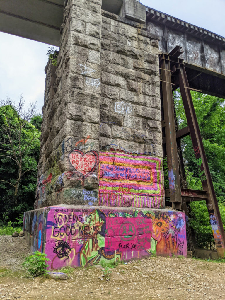
To the left, there’s a longer path. But during my visit, the bridge was out, so there is a detour through the woods. Then there’s a railroad bridge further down with lots of graffiti. Soon after, the trail turns away from the river and up to the street. According to the official map, the “park” extends to Olympia Park nearby, but you’d have to walk through the streets to get there. The end of the paved riverwalk path ends at Gist Street.
Facilities & Parking
There are nice bathrooms at the park and a fair amount of parking space. It’s not a big place. Overall, I just wasn’t impressed.
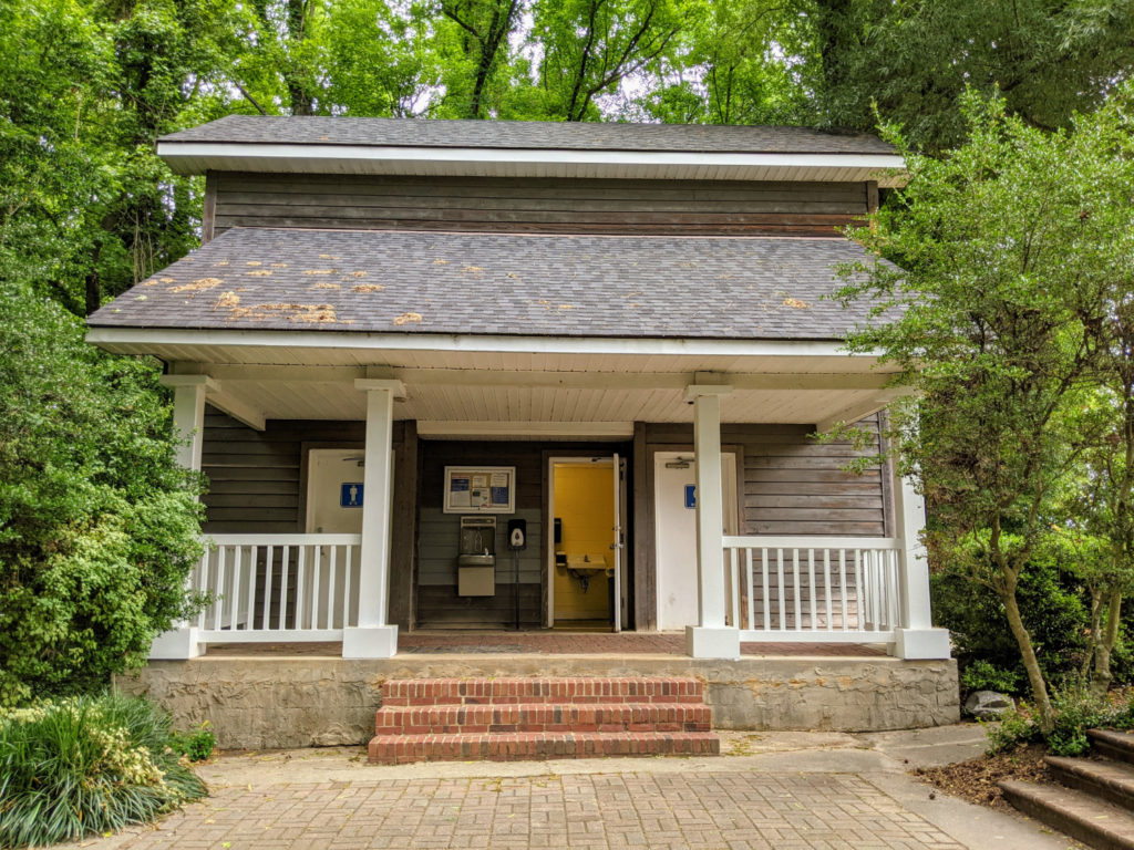
At leat the bathrooms are nice enough 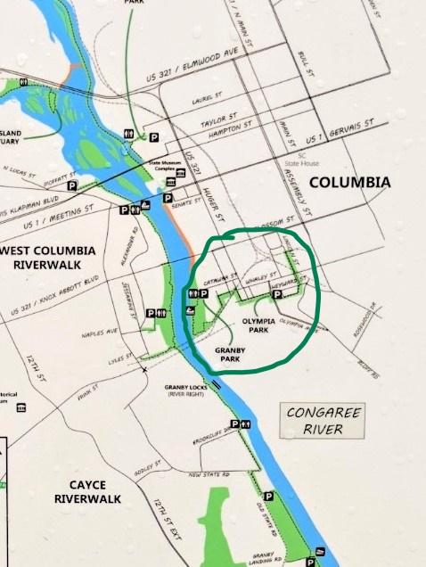
Granby Park on the map
Bonus: Saluda Shoals Park
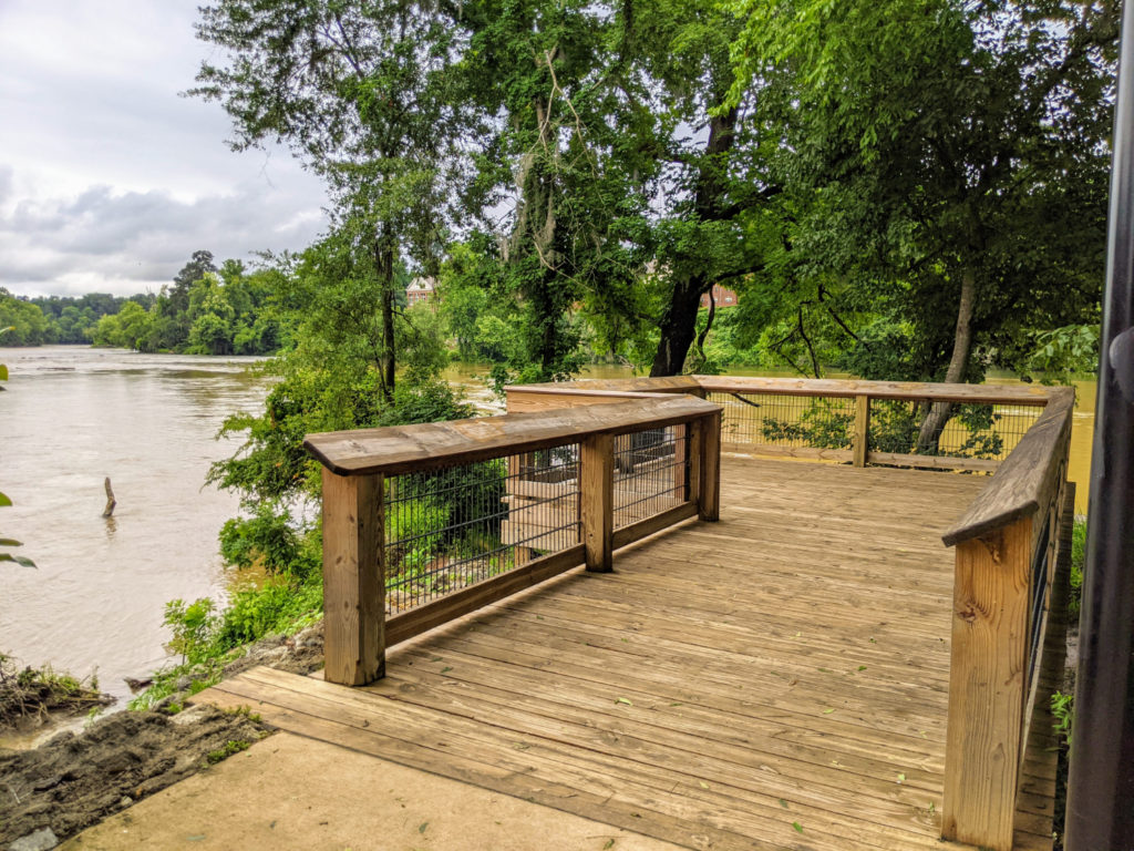
I have one more Columbia Riverwalk but this one is not part of the Three Rivers Greenway. Saluda Shoals Park is upriver towards Lexington & Lake Murray, about 20-30 minutes from downtown Columbia. It’s a fantastic park with ball fields, an education center, a conference center, a playground and splash park, a dog park, several large picnic pavilions, and miles of trails. One of these is the paved greenway trail next to the Saluda River, so I think it counts!
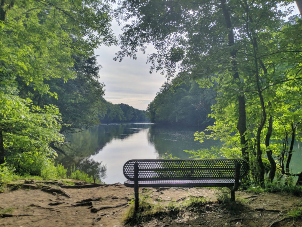
It’s a beautiful shaded trail with several places to “pull off” and sit to contemplate the river. I think it’s about a 6-mile walk round trip. But overall, it was too straight and boring in parts. In the ranking of the rest of the riverwalks, I’d slot it in between the other Saluda Riverwalk and Cayce Creek.

Facilities & Parking
There’s parking throughout Saluda Shoals Park, but for the greenway trail, I parked at the Dogwood picnic shelter where there are bathrooms. Or you can park at the very end near a boat ramp and observation deck. There are bathrooms throughout the park.
The biggest downside is that you have to pay to enter the park, $4-5 per car. The people I housesit for have a pass, so I didn’t have to worry about it. (Sign up at the link to housesit too!)
Be First to Comment